

Independent specialist publishers of award-winning walking and outdoors books for the Lake District, Peak District, Yorkshire Dales, other National Parks, Wales Coast Path, Wales and Cheshire. They also publish walking books and guides under the Marabooks, Alyn Books and Wordplay Publishing imprints, reissue new editions of walking and climbing classics, and are closely associated with the popular Walking Wales Magazine/Cerdded Cymru Magazine.
Publisher's Information 2025
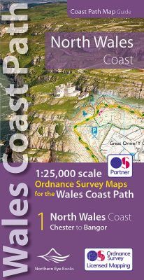
Enhanced, large scale (1: 25,000) Ordnance Survey mapping in a handy atlas format with all the mapping you need to walk a complete North Wales Coast section of the Wales Coast Path.
Continuous OS mapping covering the complete route from Chester to Bangor, on the Menai Strait. Contains generous coastal extracts from large-scale OS Explorer maps 266, 265, 264 and OL17.
The North Wales Coast Ordnance Survey mapping book is part of a series of map atlases covering the whole of the 870-mile long Wales Coast Path. The enhanced OS 1:25,000 maps are accurate, up-to-date and reliable. Additional map symbols show tea shops, cafes, extra parking, and public toilets.
A brief introduction to the North Wales Coast includes a fascinating photo mosaic highlighting notable views, places of interest and wildlife you’ll meet along the way. There is also a section of detailed Useful Information at the back of the atlas.
Laminated flapped covers showing Wales Coast Path signs and waymarkers, route details and map symbols make these atlases simple and easy to use.
The map books’ dimensions are 215mm x 107mm and they fit easily into a standard map pocket.
Large scale Ordnance Survey Explorer mapping for the complete North Wales Coast in a handy atlas format.
Highlighted official route of the Wales Coast Path.
On-map symbols showing amenities at main towns and villages.
Introduction with attractive photo mosaic.
Additional useful information
