


Cicerone publishes guidebooks for long distance walks and treks, day walks, family walks, scrambling, climbing, ice climbing and mountaineering, cycling guides, hill and mountain skills and outdoor photography. Cicerone's aim is to inspire you, and to provide the information needed to enable you to plan and enjoy your favourite outdoor activity, whether in the British Isles or overseas.
Publisher's Information 2026
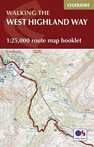
The West Highland Way Map Booklet is a compact, lightweight walking map and navigation companion featuring the entire route on detailed OS mapping. Designed for use on the move, it provides clear, reliable mapping in a convenient pocket-sized format.
Full West Highland Way route shown on Ordnance Survey 1:25,000 mapping for precise navigation whilst walking from Milngavie to Fort William
Clearly marked trail line through Loch Lomond and The Trossachs National Park and across the open moorland of Rannoch Moor, past Buachaille Etive Mor and through Glencoe, with key highlights including the Devil's Staircase and Lairig Mor
Continuous mapping format in a compact, pocket-sized booklet, eliminating the need for multiple separate map sheets
The booklet can be used in either direction, with the relevant OS Explorer map legend included for easy reference
For step-by-step route descriptions and planning advice, the accompanying Cicerone guidebook, Walking the West Highland Way, is also available and includes a copy of this map booklet
