


Cicerone publishes guidebooks for long distance walks and treks, day walks, family walks, scrambling, climbing, ice climbing and mountaineering, cycling guides, hill and mountain skills and outdoor photography. Cicerone's aim is to inspire you, and to provide the information needed to enable you to plan and enjoy your favourite outdoor activity, whether in the British Isles or overseas.
Publisher's website 2026
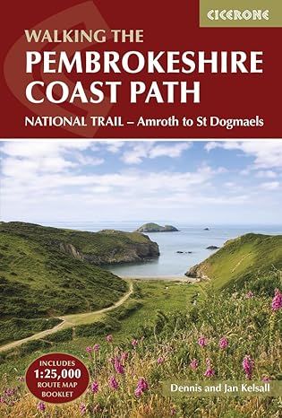
The trail is divided into 14 stages between 15 and 27km (9–17 miles), with abbreviated descriptions for those walking north to south, and alternate paths to avoid high tide sections and military range closures. Includes a separate map booklet containing OS 1:25,000 mapping and route line.
14 stage-by-stage descriptions of the Pembrokeshire Coast Path from Amroth to St Dogmaels, including abbreviated north-to-south options and alternate routes for high tides or restricted areas
Clear step-by-step directions supported by 1:100,000 Ordnance Survey mapping and a includes a separate 1:25,000 map booklet with the route line for precise navigation
Each stage includes distance, estimated walking time, terrain notes, and highlights such as Tenby, St Davids, Strumble Head, and Poppit Sands
Handy trek planner showing accommodation, refreshments, public transport, and facilities along the Pembrokeshire Coast Path
Practical advice on planning, preparation, and walking safely along coastal paths with cliffs and tidal sections
