


Cicerone publishes guidebooks for long distance walks and treks, day walks, family walks, scrambling, climbing, ice climbing and mountaineering, cycling guides, hill and mountain skills and outdoor photography. Cicerone's aim is to inspire you, and to provide the information needed to enable you to plan and enjoy your favourite outdoor activity, whether in the British Isles or overseas.
Publisher's website 2026
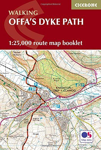
This trail map charts the Offa's Dyke Path from south to north and offers walkers of all abilities the chance to explore limestone gorges, mountain ridges, and borderland heritage over 12–14 days. Providing precise route-line mapping, it ensures you can follow Offa's ancient frontier with total confidence.
1:25,000 OS trail map with Ordnance Survey Explorer map legend
Shows the full 177-mile (283km) route of the Offa's Dyke Path
Route divided into 12 clearly defined stages of 17–29km (11–18 miles) with route stats for walking the trail in either direction
Downloadable GPX files for easy navigation using GPS devices or smartphone apps
Available with the Cicerone guidebook Offa's Dyke Path or as a separate, standalone purchase
