
Publisher's Information 2025
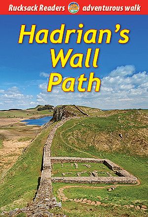
Our second edition features new mapping at 1:50,000 with mileage markers running in both directions. It includes many route updates and fresh photos. Almost uniquely, it gives equal priority and space to directions for west-to-east as for east-to-west. Although it has 50% more pages than the previous edition, it is compact and lightweight.
This guidebook contains all you need to plan and enjoy Hadrian’s Wall Path:
detailed route descriptions step-by-step, both west-to-east and east-to-west
custom mapping at 1:50,000 on 43 pages
history and anatomy of the Wall
forts, milecastles and visitor centres
geology, wildlife and heritage
accommodation and transport
full colour throughout, with over 100 photos
robust, rucksack-friendly and on rainproof paper.
