Latest News: Read more


Rhins of Galloway Trail

Dumfries & Galloway

134 km / 83 miles
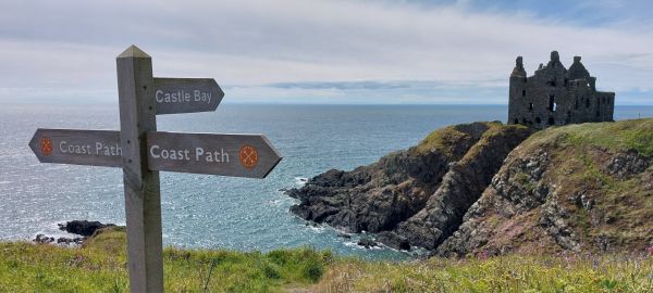
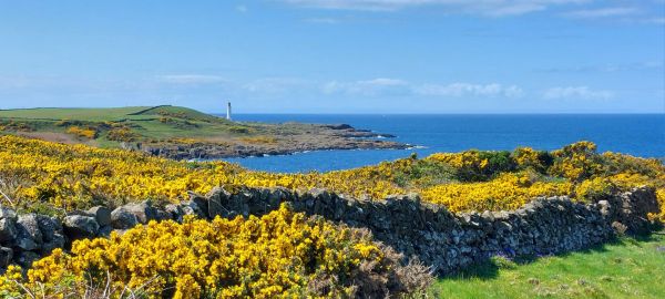
The Rhins of Galloway is a hammerhead shaped peninsula in South Western Scotland.

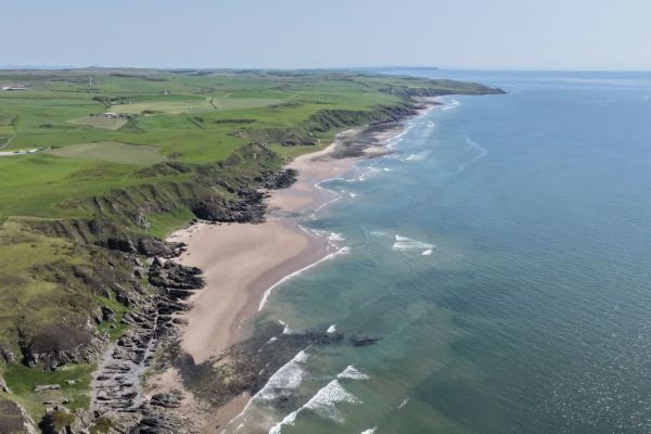
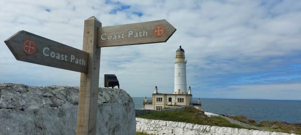
An 83-mile circular walking route along which you will experience the stunning scenery of Scotland’s south west coast. From the windswept cliffs of the Mull of Galloway to the sheltered waters of Loch Ryan you can explore the wildlife and history of an unforgettable coastline on this magical peninsula ( Dumfries and Galloway Council)

The section  from the  Mull of Galloway to Stranraer  follows the Mull of Galloway Trail, one of Scotland's Great Trails.

Message from the creator of the trail Bryan Scott, June 2026 - The Rhins of Galloway Path is open, however we have not officially launched it, as there are still some access improvements to be completed and we have a couple of diversions in place. Have a look at the dgtrails.org website for more details and updated GPX files of the route.
As this is a new route, we have been particularly keen on feedback from users to inform us of how we can improve the offer. Based on this feedback, we know we need to improve the frequency of directional signage which we are working on before an official launch.


Details:

Path Type: Other Paths
Attributes: Coastal
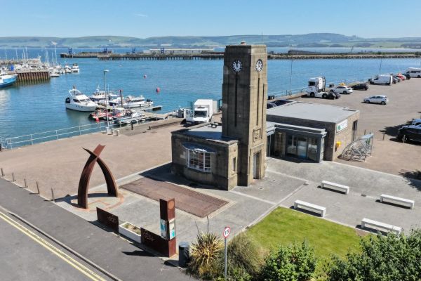
Start and Finish: NX059610 - Stranraer Harbour, Dumfries & Galloway
Web Sites: Dumfries and Galloway Council - Rhins of Galloway Coast Path

Maps:

You can use the interactive controls to zoom in and out and to move around the map, or click on a path or a marker for more info.(interactive map help)

Contains Ordnance Survey data © Crown copyright and database right 2016.
© OpenStreetMap contributors under Open Database Licence.
Rights of way data from selected Local Authorities.
Large scale digital mapping is provided by John Thorn.
At high zoom levels the route is indicative only.
Purchase Ordnance Survey Maps:
OS Landranger 76, 82
OS Landranger Active 76, 82
OS Explorer 309
OS Explorer Active 309

Additional Images:


Downloads:

Reminder: Material downloaded from this website is for personal or LDWA use only. Commercial use, reproduction, modification of all content is strictly prohibited without prior approval by the LDWA. Please Contact Us if you have any requests.
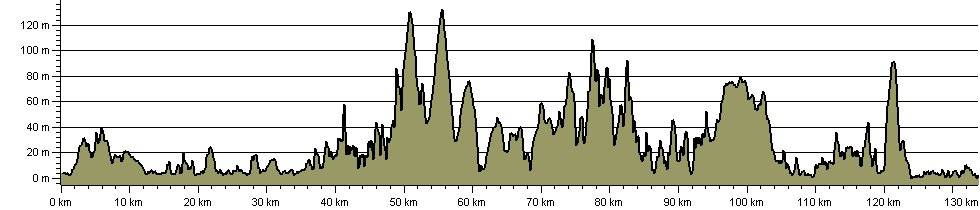

Route Profile:

133.7 km (83.1 miles)
2,795 m (9,170 ft) ascent
133 m (436 ft)  maximum height

This website uses cookies

To comply with EU Directives we are informing you that our website uses cookies for services such as memberships and Google Analytics.

Your data is completely safe and we do not record any personally identifiable information.

Please click the button to acknowledge and approve our use of cookies during your visit.

Learn more about the Cookie Law