Every part of England, Scotland and Wales is covered by 403 maps specially designed for walkers, off-road cyclists, horse riders and all involved in outdoor activities. The Active maps are an encapsulated map that is tough, durable and weatherproof. The maps are covered in a protective plastic coating that can be written on, so your favourite routes can be easily highlighted. They are more costly but more durable and may obviate the need for a map case, though they are bulkier and heavier. The Outdoor Leisure map series and the Pathfinder map series have been integrated with the OS Explorer Map series.

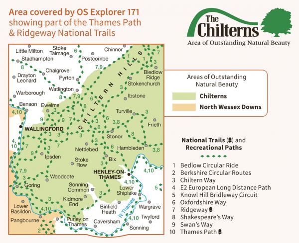
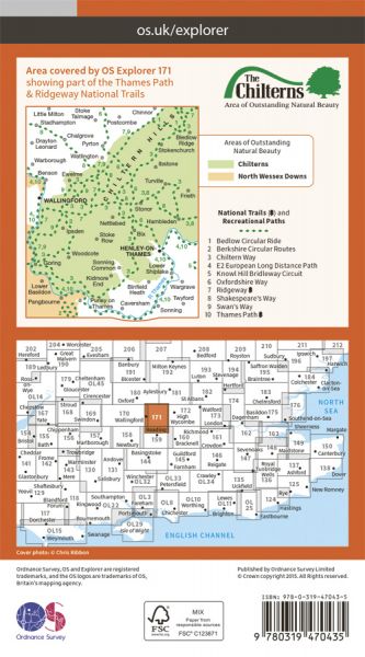
| Chairman's Walk | 161 km / 100 miles |
| Chiltern Way | 285 km / 177 miles |
| Chiltern Way - Southern LInk | 10 km / 6 miles |
| Chiltern Way Berkshire Loop | 45 km / 28 miles |
| Dymchurch to Didcot Robust Ramble | 359 km / 223 miles |
| E-Path 2 UK Section - Middleton-in-Teesdale to Dover | 904 km / 562 miles |
| Great Chalk Way | 605 km / 376 miles |
| Judges' Ride | 26 km / 16 miles |
| Macmillan Way - Shakespeare's Way | 235 km / 146 miles |
| Mary Michael Pilgrims Way Oxfordshire | 50 km / 31 miles |
| Orange Way | 549 km / 341 miles |
| Oxfordshire Way | 108 km / 67 miles |
| Railways and Waterways Walk | 241 km / 150 miles |
| Ridgeway National Trail | 140 km / 87 miles |
| Roman Way | 275 km / 171 miles |
| Round Reading Walks | 164 km / 102 miles |
| Seven Shires Way | 372 km / 231 miles |
| Swan's Way | 106 km / 66 miles |
| Thames Path National Trail | 298 km / 185 miles |
| Thames Pilgrim Way | 164 km / 102 miles |
| Thames Valley Circular Walk | 198 km / 123 miles |
| Wokingham Way | 93 km / 58 miles |
