


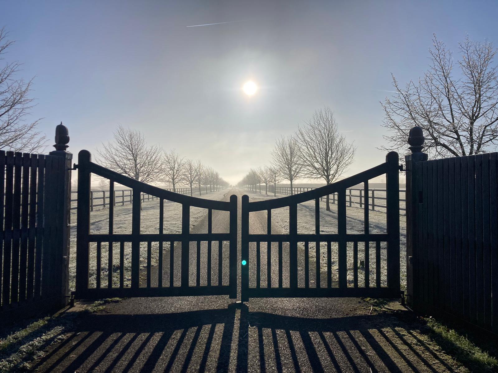
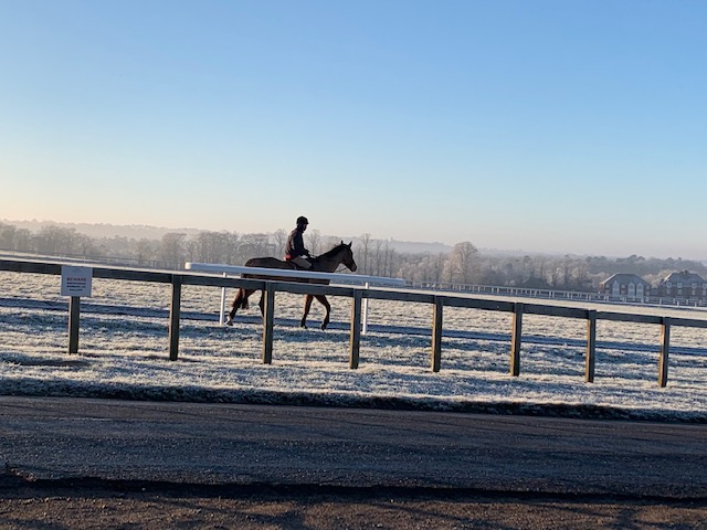
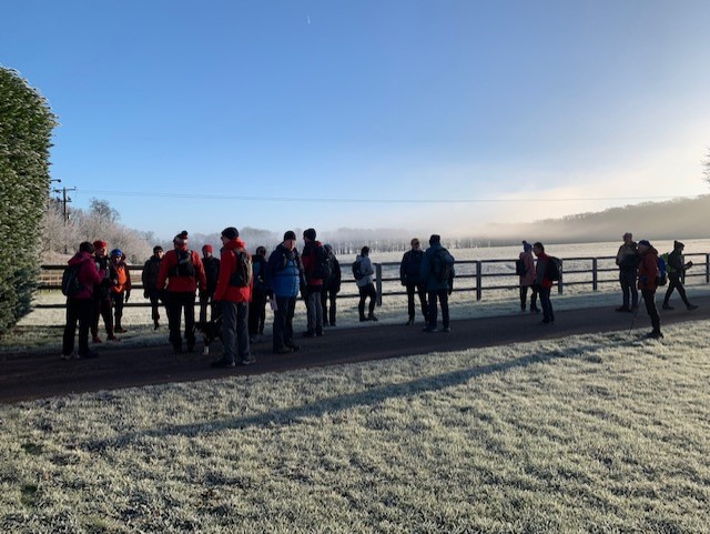
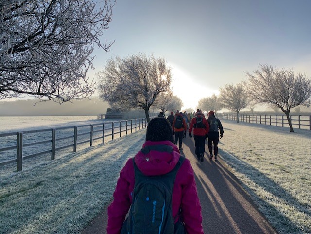
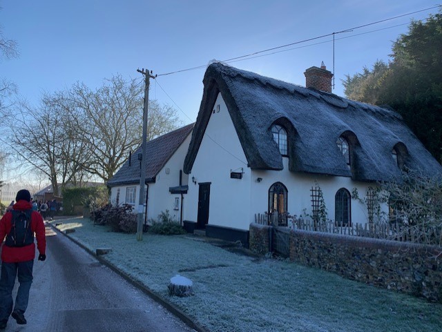
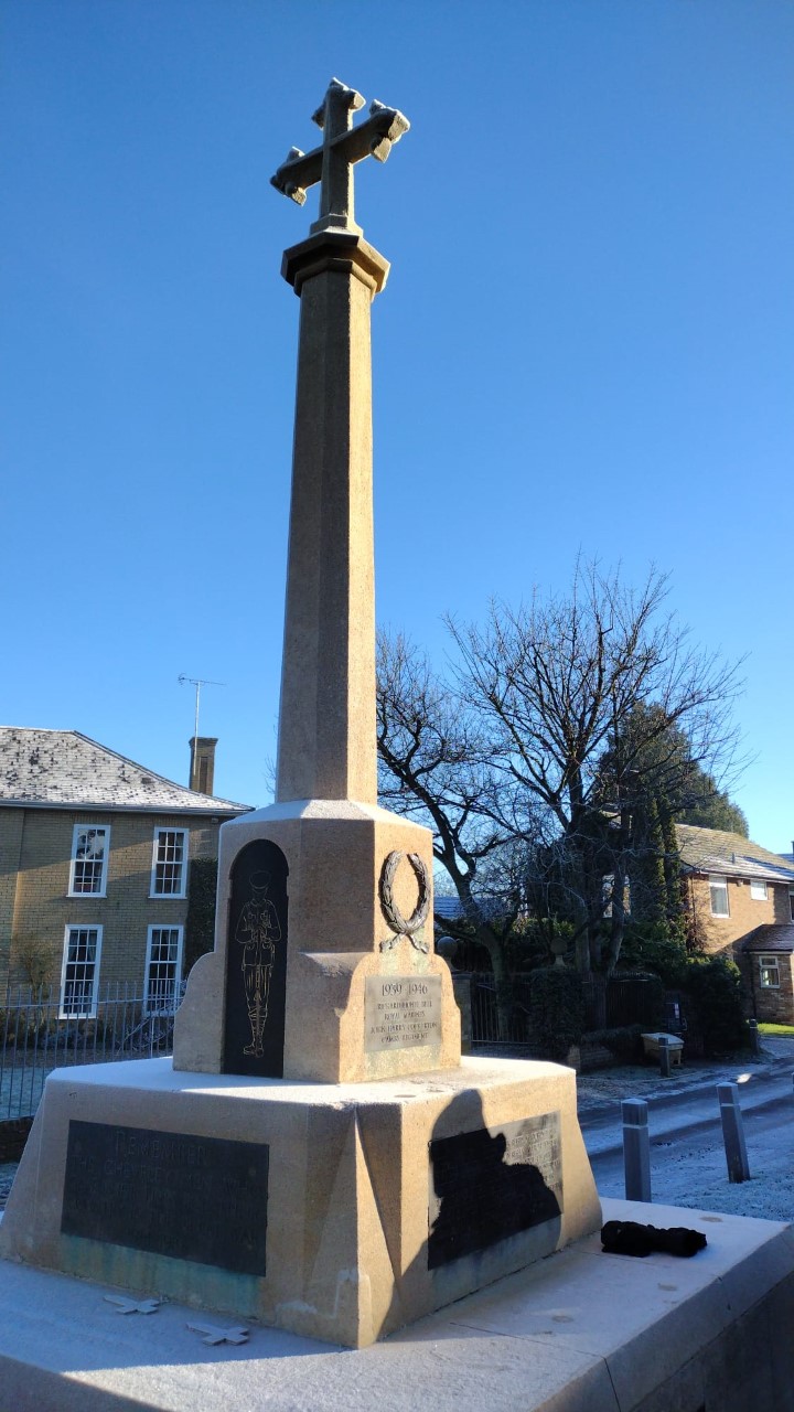
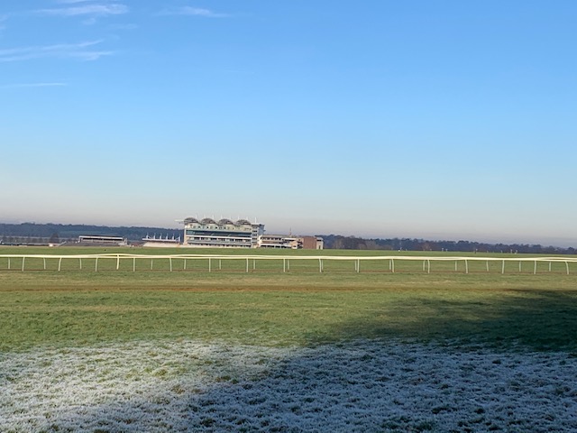
Newmarket Gallops
Sun 22nd Jan 2023
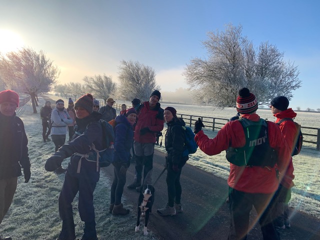
Walk Details:
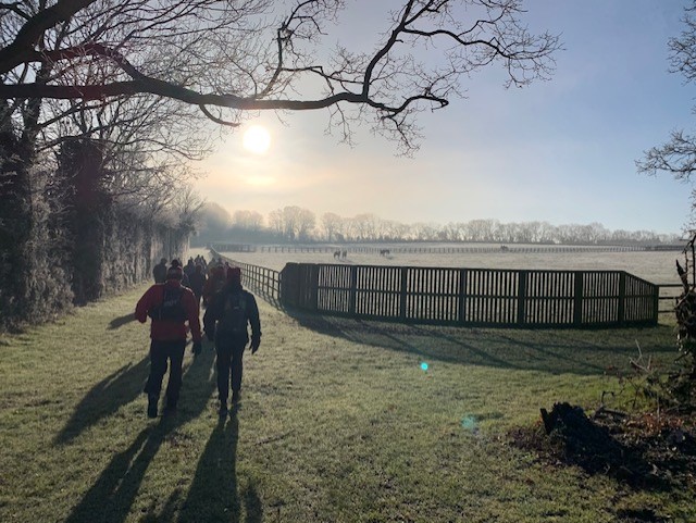
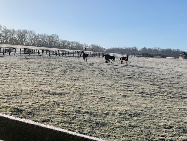
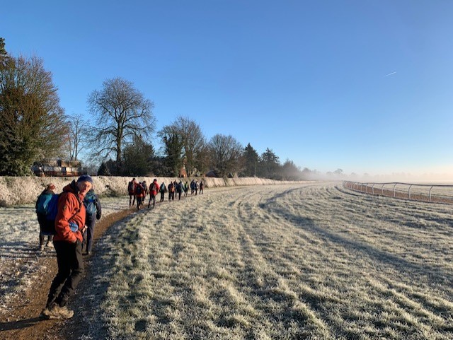
Moulton Road runs between two of the main training areas in Newmarket, Long Hill and Warren Hill. Both are used by many of the equine inhabitants of the town.
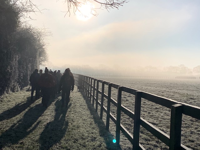
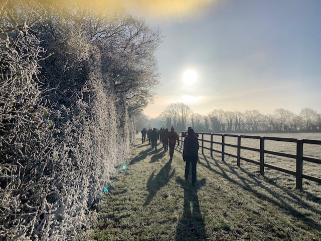
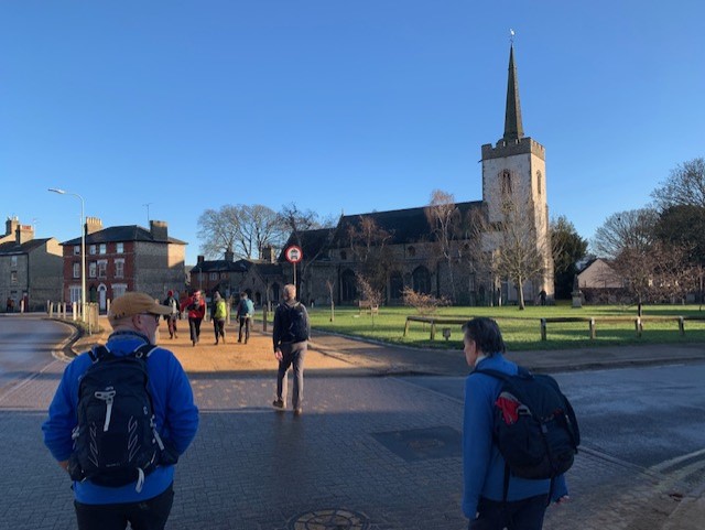
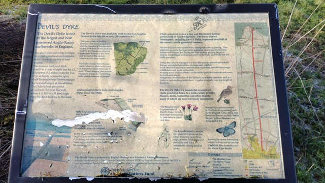
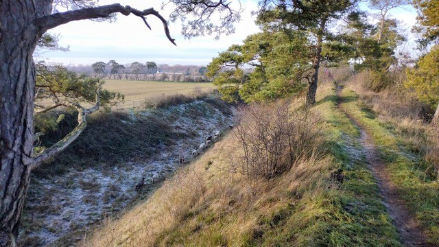
From the c.p we head towards Moulton before deviating off to Ashley and then Cheveley. We pick up Icknield Way and then Stour Valley Path towards Stetchworth. From there we walk along the Devils Ditch to the southern end of Newmarket before turning back towards and through Newmarket High Street, and back to Warren Hill
Entry Details:
Other Files
GPX
A GPX file of the above route may be downloaded by clicking the link below.
Note: GPX files of Group Walks are created by LDWA Group members, and may be downloaded only by other LDWA members. They should not be made available outside the LDWA, and are used at members' own risk.
Login to Download (Members Only)You can use the interactive controls to zoom in and out and to move around the map, or click on a path or a marker for more info. (interactive map help)
You can use the interactive controls to zoom in and out and to move around the map, or click on a path or a marker for more info. (interactive map help)
© OpenStreetMap contributors under Open Database Licence
Rights of way data from selected Local Authorities
Large scale digital mapping is provided by John Thorn
At high zoom levels the route is indicative only.
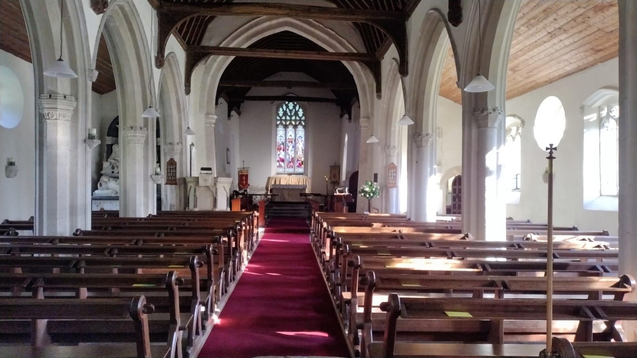
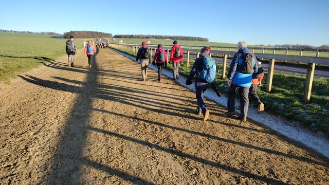
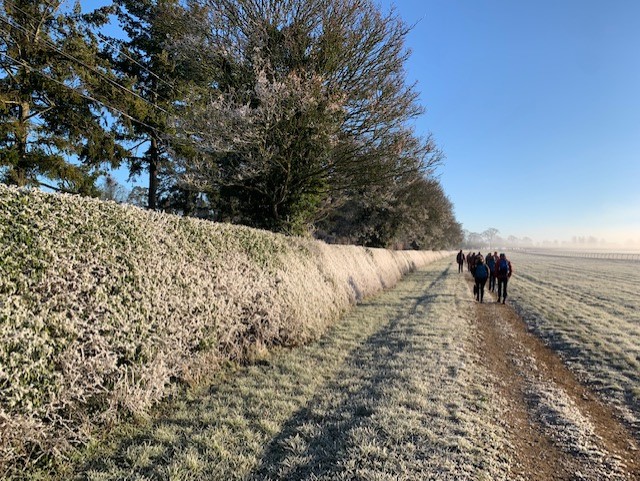
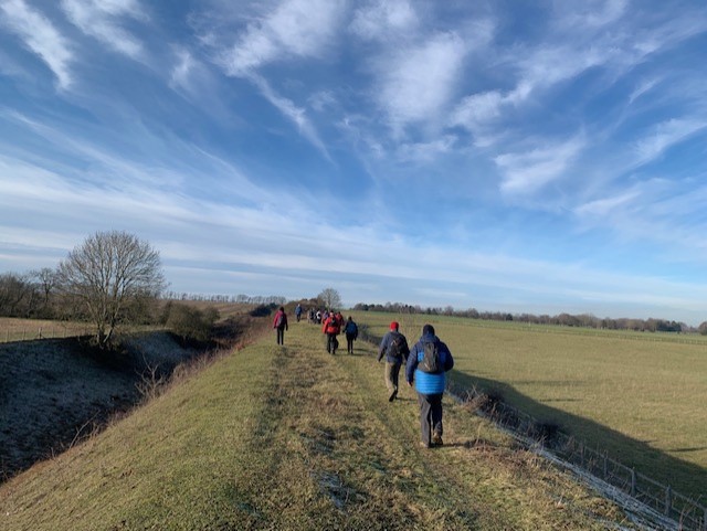
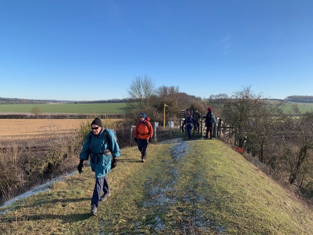
Gallery
Maps:
You can use the interactive controls to zoom in and out and to move around the map, or click on a marker for more info. (interactive map help)
© OpenStreetMap contributors under Open Database Licence.
Rights of way data from selected Local Authorities.
Large scale digital mapping is provided by John Thorn.


