


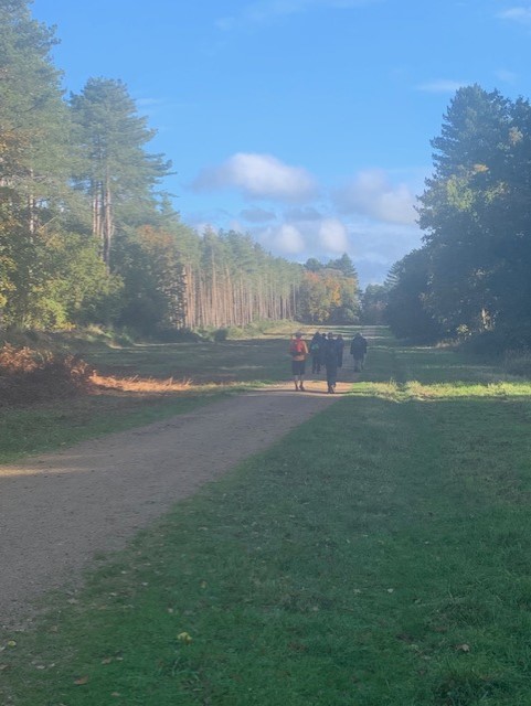
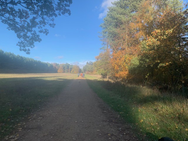
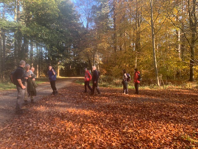
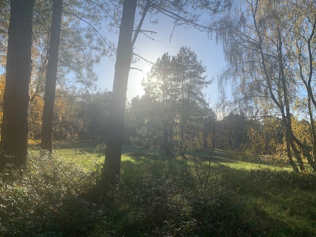
Kings Forest midweek shorty
Wed 16th Nov 2022
Walk Details:
We start from the Kings Forest carpark heading into the forest to pick up St Edmunds Way/Icknield Way. We then cut across past Berners Heath and head south along Seven Tree Road (a byway not a road). We then pickup part of the Lark Valley path passing West Stow Country Park where there are toilets. We then turn back into Kings Forest and make our way north, on a roundabout route, back to the carpark.
Entry Details:
Other Files
GPX
A GPX file of the above route may be downloaded by clicking the link below.
Note: GPX files of Group Walks are created by LDWA Group members, and may be downloaded only by other LDWA members. They should not be made available outside the LDWA, and are used at members' own risk.
Login to Download (Members Only)You can use the interactive controls to zoom in and out and to move around the map, or click on a path or a marker for more info. (interactive map help)
You can use the interactive controls to zoom in and out and to move around the map, or click on a path or a marker for more info. (interactive map help)
© OpenStreetMap contributors under Open Database Licence
Rights of way data from selected Local Authorities
Large scale digital mapping is provided by John Thorn
At high zoom levels the route is indicative only.
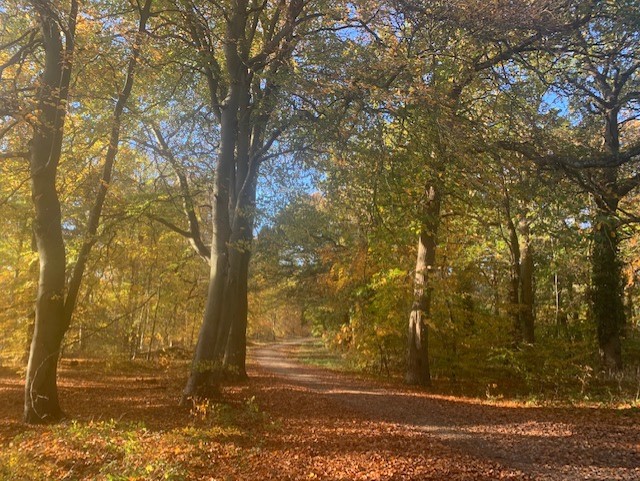
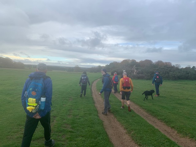
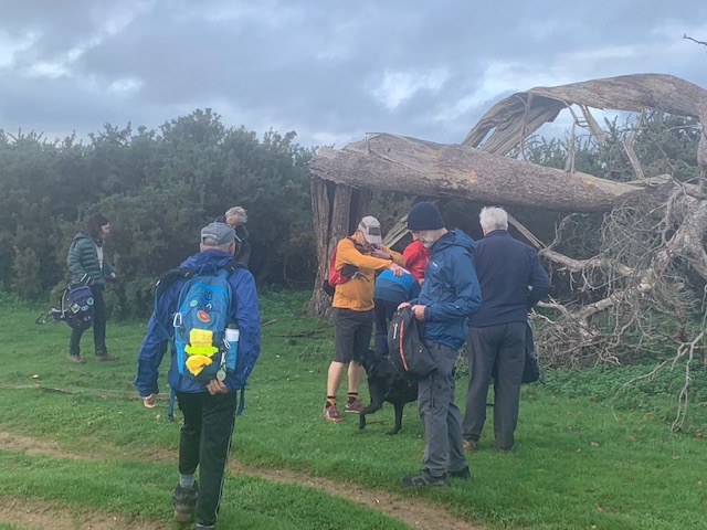
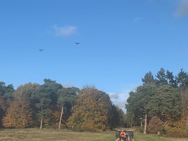
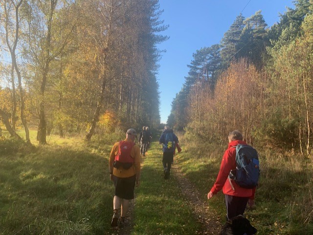
Gallery
Maps:
You can use the interactive controls to zoom in and out and to move around the map, or click on a marker for more info. (interactive map help)
© OpenStreetMap contributors under Open Database Licence.
Rights of way data from selected Local Authorities.
Large scale digital mapping is provided by John Thorn.


