Hampshire
31 km / 19 miles

(click to enlarge)
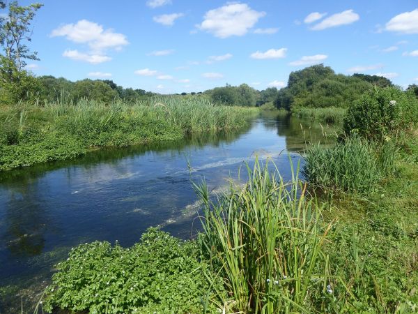
A trail exploring landscapes to the south of Whitchurch across open downland and through peaceful chalk stream meadows. It runs in the valleys of two of Britain's finest chalk streams, the Rivers Test and Dever. Just to the north of Whitchurch is the North Wessex Downs AONB.
Along this route between Bullington and Whitchurch there is evidence of a former railway line that ran between Didcot, Newbury and Southampton, with Victorian railway arches. On the western section there are panoramic views towards the Danebury Ring Iron Age hillfort.
In 1830 this area was the scene of the Dever Valley Swing Riots, a massive wave of protests carried out by impoverished farm labourers facing the prospect of starvation over winter. Wages had been driven down to an all time low, the price of bread had rocketed and the new hated threshing machines were robbing labourers of winter work. In Sutton Scotney, pause at the Coach and Horses public house and read the names on the commemorative plaque recording the Dever Valley villagers who signed their petition to the King.
A route guide is offered for free download in PDF format on the links below with mapping and detailed instructions. This covers both longer and shorter route options.
Walkers doing the longer trail can include a short 1 mile optional loop along the River Dever into Lower Bullington. For this, divert at point 22 in the PDF guide, turn right along the lane to link up with the Lower Bullington loop (points 16 - 22) taking in the old railway embankment & track bed, broad leaf woodland & River Dever meadows. The GPX file provided below and the mapping panel below is for the longer route only and includes this option.
There is a shorter version of the route offered at 14 miles that does not visit Sutton Scotney, cutting across to Lower Bullington in the valley of the River Dever. The PDF leaflet describes this. The shorter route turns west at point 14 along the lane to link at point 16, as described in the PDF.
For those wanting to split the longer route into two walks, the 86 bus that links Whitchurch to Sutton Scotney runs a few times a day but has no Sunday or Bank Holiday service. Walkers splitting the walk are advised to use the bus each time to Sutton Scotney to walk back in the event of the bus back to Whitchurch being cancelled.
The route has been developed by Walkers are Welcome - Whitchurch.
Source: Walkers are Welcome - Whitchurch
Details:

