Gtr London
26 km / 16 miles

(click to enlarge)
The Green Link Walk is the first of six new Greenways in London for which the Ramblers campaigned in the Mayoral election. It has been developed by Inner London Ramblers and was launched in spring 2024.
The route was conceived by partners London Living Streets, Ramblers, Sustrans and CPRE London and delivered by Transport for London (TfL) working with the City of London and the boroughs of Hackney, Islington, Southwark and Waltham Forest.
It is the eighth route to be included in the TfL Walk London Network of strategic walking routes, and connects with the Capital Ring, Jubilee Greenway, Jubilee Walkway, Lee Valley Walk and the Thames Path.
From the edge of Epping Forest it runs to Peckham. It links a number of low-traffic neighbourhoods in Islington and Hackney with green spaces including parks, waterways and marshes and it features newly greened streets.
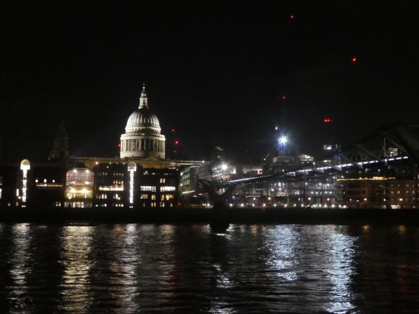
Points of interest include medieval monasteries, an ancient market, Georgian and Victorian terraces, St Pauls Cathedral and the Tate Modern.
The route passes through Walthamstow town centre, visits The Wetlands - a nature reserve, crosses Walthamstow and Leyton Marshes, and links Millfields Park, Hackney Downs and London Fields. It heads through Stonefields Gardens in Haggerston, then along the Regents Canal to The Angel Islington. It passes through Smithfield and over the Millennium Bridge to cross the Thames. It then follows The Low Line through The Elephant, including Elephant Park and Victory Community Park, Salisbury Row and it ends passing through Burgess Park to Peckham, ending at the Library.
Information is on the Inner London Ramblers website and on the Go Jauntly's app at gojauntly.com from which a free pdf guide may be downloaded with detailed street mapping and on a new Footways map at footways.london. The route is quite intricate in places and street mapping is advised in order to follow it, with this app or online on a phone, or with a street atlas.
There are many options to walk the route in stages using public transport. The walk officially starts and ends at bus stops rather than tube or rail stations. The start is on bus route 20 that runs between Walthamstow Central station and Debden. The start is one mile from Snaresbrook Central Line tube station, a pleasant walk past Eagle Pond and the entrance to the private Forest School. Along the route Walthamstow Central station is passed after 1.6 miles with Overground and Victoria Line services and the number 20 bus. The finish is just 400 metres along Rye Lane from Peckham Rye station, which has National Rail, Thameslink and Overground services.
Details:

| Path Type: |
Other Paths |
| Waymark: |
Green and yellow graphic with leaf, inside route name |
| Attributes: |
Other Paths
Easy
Urban
Urban Parkland
Heritage
Wildlife
|
| Start: |
TQ392896 -
St Peter's Church Bus Stop, Upper Walthamstow, Gtr London

|
| Finish: |
TQ342767 -
Peckham Rye Library, Peckham, Gtr London

|
| Open Date: |
2024 |
| Web Sites: |
Green Link Walk - Inner London Ramblers
|
