



25th Blackwater Marathon
25th Blackwater Marathon - Saturday 25th October
Thanks to the lovely people at Essex & Herts for the Blackwater Marathon challenge event today. No rain but plenty of wind, a bit of sun, excellent checkpoints and a warm welcome back at the event HQ at Maldon RFC with plentiful food on offer.
The results are in: Blackwater 25 results
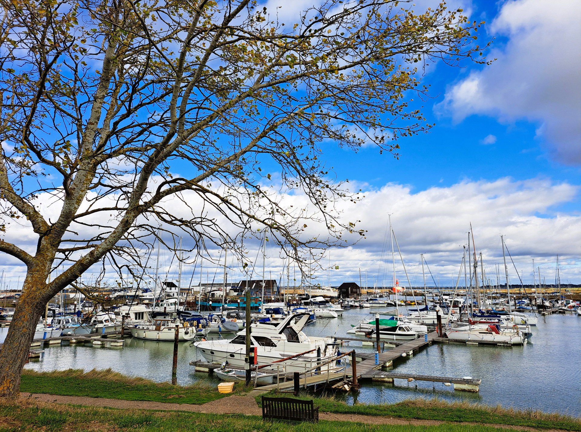
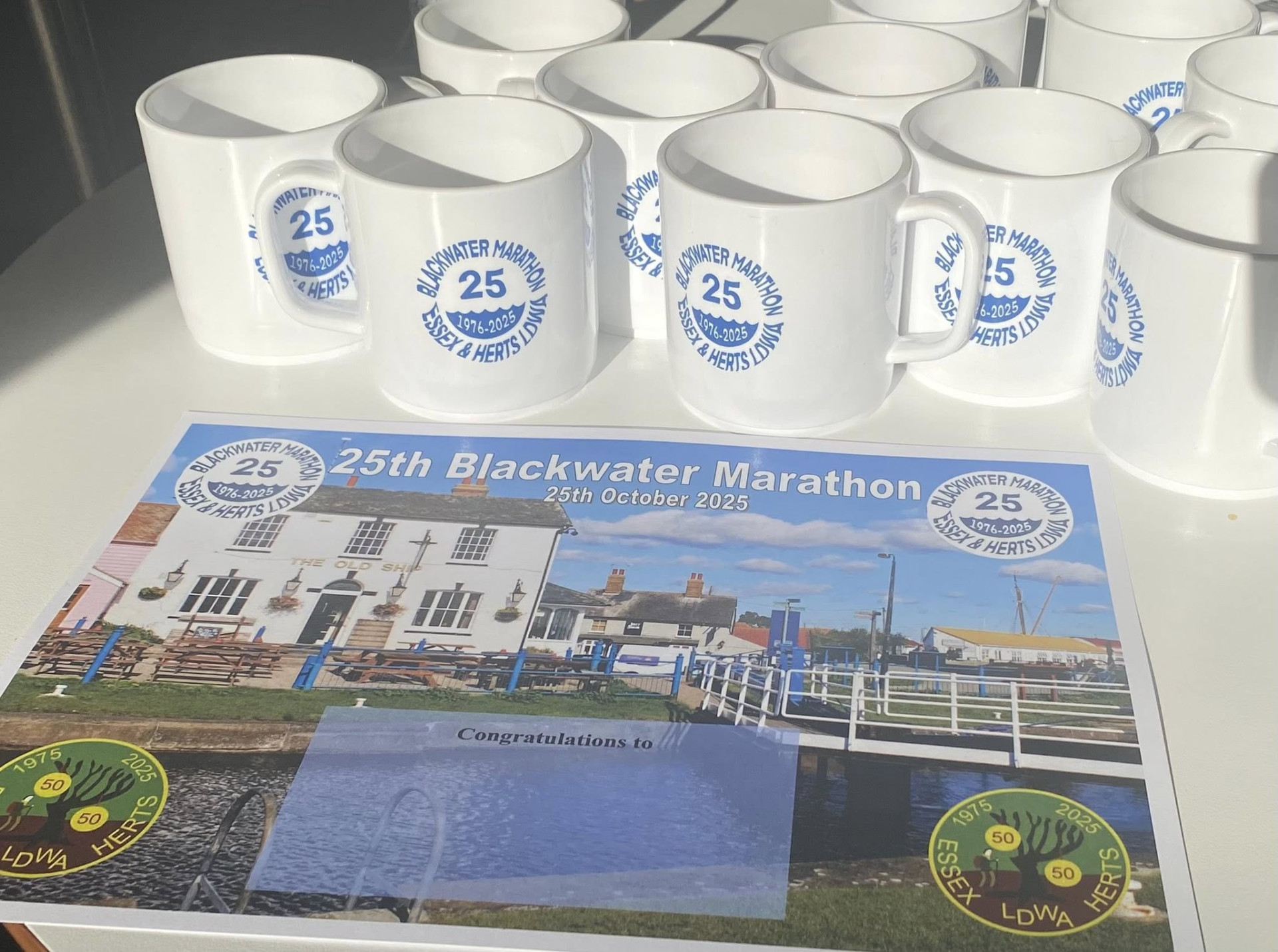
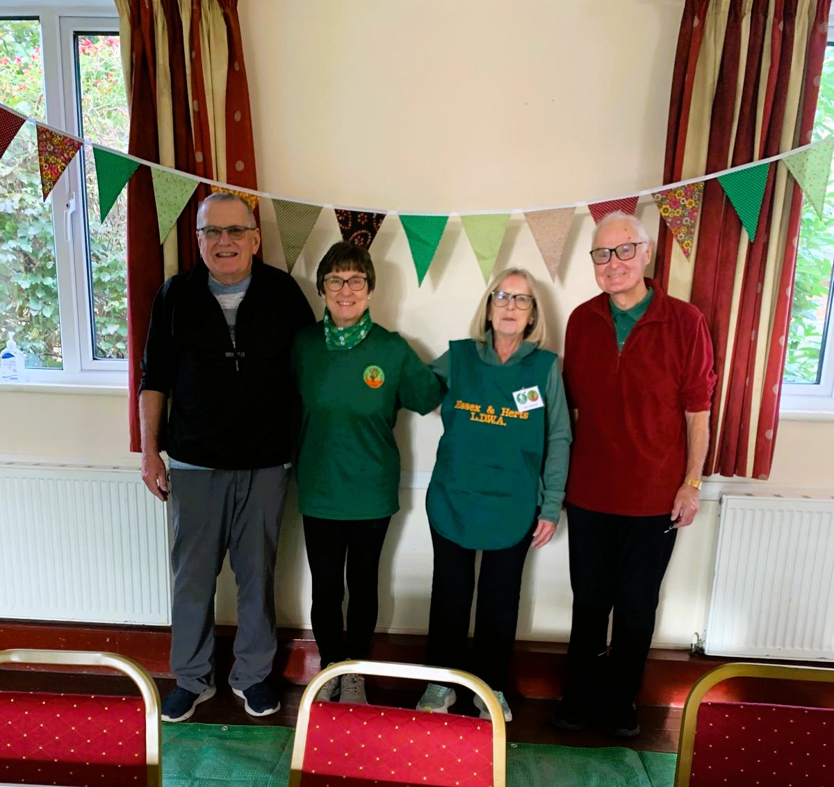
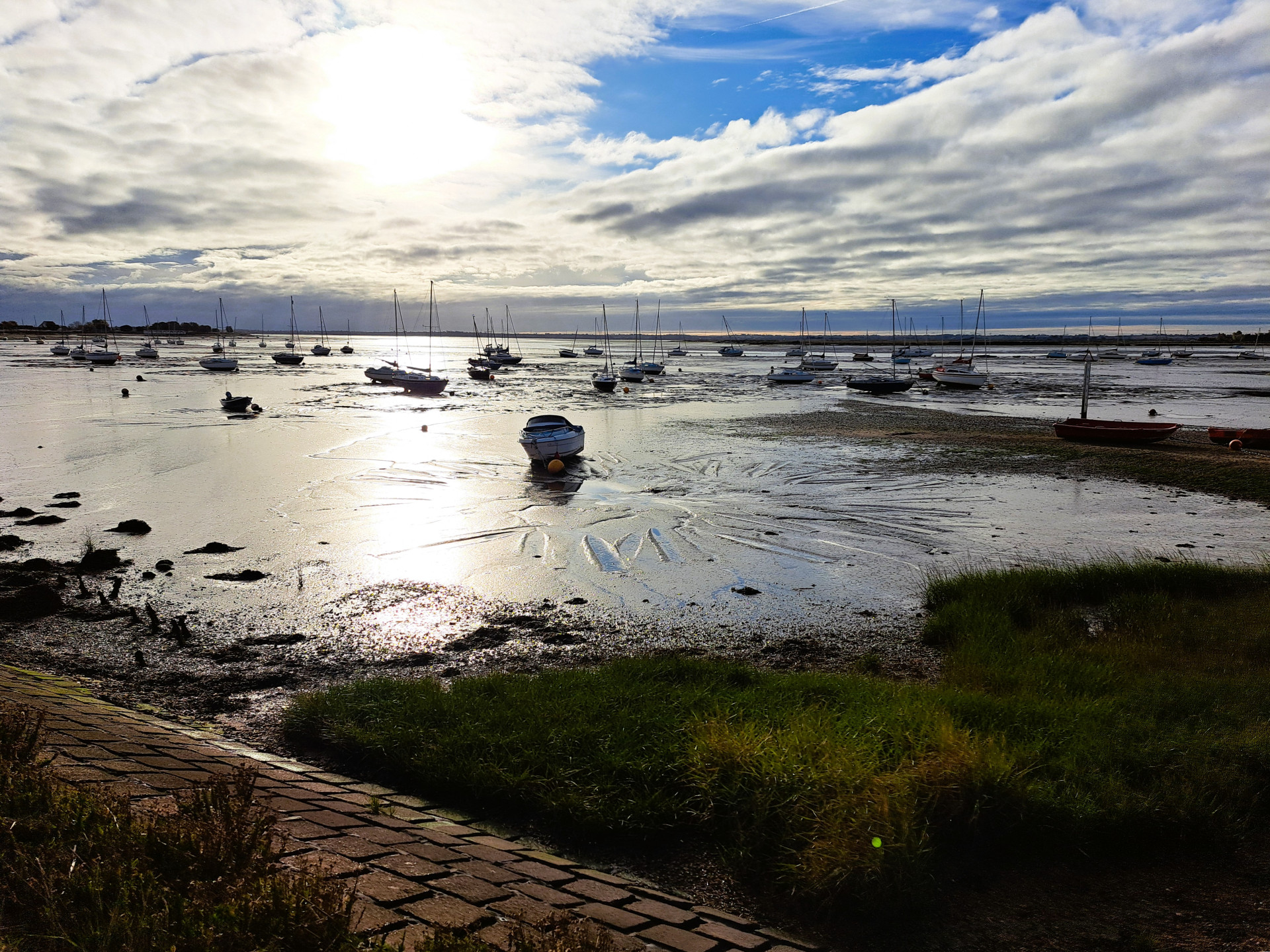
More pictures:
Essex & Herts LDWA - 25th Blackwater Marathon 25/10/25
Blackwater Marathon 2025 | Flickr
Lost property: to claim please contact essexandherts@ldwa.org.uk 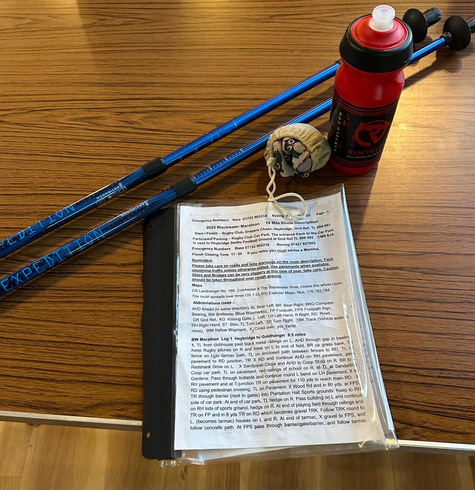
Route Descriptions
Blackwater Marathon 2025 26.7 mile route (Word)
Blackwater Marathon 2025 26.7 mile route (PDF)
18/10/25 THE 18 MILE ROUTE DESCRIPTION HAS BEEN AMENDED. PLEASE USE THE VERSION BELOW.
Blackwater Marathon 2025 18 mile route (Word) AMENDED 18/10/25
Blackwater Marathon 2025 18 mile route (PDF) AMENDED 18/10/25
GPX
Blackwater_2025_26mile_final.gpx
Blackwater_2025_18mile_final.gpx
Part of the Essex and Herts Triple Challenge
The first LDWA Blackwater Marathon was first held in 1976. It became a biennial event, for many years alternating with The Three Forest way. This will be the 25th Blackwater Marathon.
The Blackwater Marathon will start from the Rugby Club in Heybridge. The route passes through Heybridge to the Chelmer and Blackwater Canal. The canal towpath is then followed to a bridge crossing the canal to join the Blackwater Estuary sea wall opposite Maldon. This is followed to the lock gates at Heybridge Basin. The sea wall is then followed for 4 1/2 miles to Goldhanger Creek and the first checkpoint at Goldhanger Village Hall.
The 26 mile route then goes inland to the second checkpoint in Tollesbury after which it rejoins the sea wall near Tollesbury Marina. After leaving the sea wall the route passes through Tolleshunt Darcy and on to Tolleshunt Major for the third checkpoint. The return to Heybridge is mostly on farmland paths and tracks passing through Chigborough Lakes to the finish.
The 18 mile follows the 26 mile route to the Goldhanger checkpoint. It then diverts and goes inland to the checkpoint at Tolleshunt Major (omitting the checkpoint in Tollesbury). It then rejoins the 26 mile route back to the finish.
The sea wall stretches of the route are all parts of the England Coast Path. The sea wall both sides of Heybridge Basin are favourite spots for Bird Watches with mud flats on the estuary and fresh water lakes inland.
The Blackwater Marathon route passes large areas of coastal grazing marshes and saltings and their conservation importance has been given national and international recognition. There are four Nature Reserves near Tollesbury with a combined area of about 3,000 acres most of which are designated S.S.S.I.’s. The main attraction of these reserves is the very large number of birds, particularly overwintering migrant wildfowl and waders. e.g. R.S.P.B. have reported that at the Old Hall Marshes reserve over 50 species of birds breed and averagely 4,000 Brent Geese overwinter.
The route passes two large islands in the Blackwater estuary. Norsemen invaders (Danes) landed on Northey Island which is opposite Heybridge Basin. They were defeated at the battle of Maldon in 991 A.D. Later the route passes over the start of the low water causeway to Osea Island.
After Tollesbury the 26 mile route includes a relatively new part of the sea wall built further inland in 1995. This cuts out a large loop in the old one which was expensive to maintain. The old sea wall was breached and the land up to the new one has reverted to saltmarsh making a larger area to control tidal surges. This ‘Managed Retreat’ has also taken place at the Abbotts Hall Farm Nature Reserve a little further up the coast.







