

Boyden Gate & Back
Sun 4th Oct 2026
Walk Details:
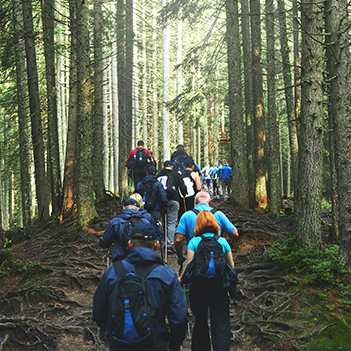
A circular walk from the University of Kent, walking east through West Blean Wood (where we might spot a bison if we’re lucky), fields and country lanes to Boyden Gate for lunch stop at The Gate Inn, where they serve sandwiches and small plates. The landlord will also kindly permit us to eat our own sandwiches in the garden if we buy a drink. No other facilities in Boyden Gate. Returning via Chislet, East Blean Wood and West Blean Wood. Average walking pace 3mph. 850 ft of ascent

Entry Details:
Other Files
GPX
A GPX file of the above route may be downloaded by clicking the link below.
Note: GPX files of Group Walks are created by LDWA Group members, and may be downloaded only by other LDWA members. They should not be made available outside the LDWA, and are used at members' own risk.
Login to Download (Members Only)You can use the interactive controls to zoom in and out and to move around the map, or click on a path or a marker for more info. (interactive map help)
You can use the interactive controls to zoom in and out and to move around the map, or click on a path or a marker for more info. (interactive map help)
© OpenStreetMap contributors under Open Database Licence
Rights of way data from selected Local Authorities
Large scale digital mapping is provided by John Thorn
At high zoom levels the route is indicative only.
Maps:
You can use the interactive controls to zoom in and out and to move around the map, or click on a marker for more info. (interactive map help)
© OpenStreetMap contributors under Open Database Licence.
Rights of way data from selected Local Authorities.
Large scale digital mapping is provided by John Thorn.