


South and East of Darenth
Sun 12th Feb 2023
Walk Details:
Initially heading southwards towards Horton Kirby and then Fawkham Green. The morning section will be longer (split approximately 11m/6.5m) with lunch at Longfield Hill - village green for picnic and close to The Green Man PH. The afternoon section returns via New Barn, Southfleet and Beacon Wood Country Park. Some hills but nothing too steep

Entry Details:
Walk Report
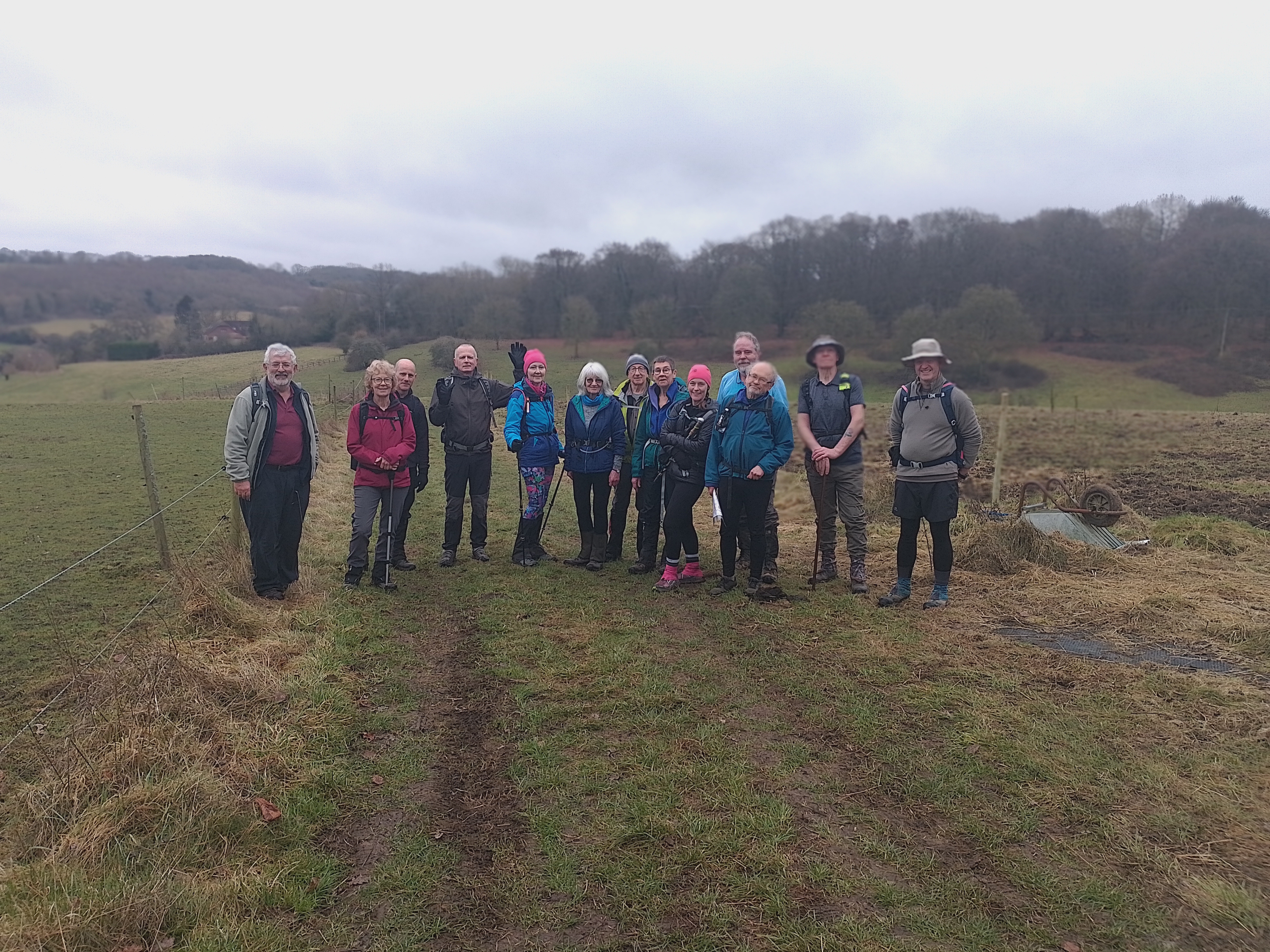
Fourteen members took part in today's walk, including friends from both the Essex & Herts and Surrey groups. We were fortunate with the weather; nothing worse than a bit of mizzle. But consequently, some of the long-distance views towards London and the Dartford Crossing were shrouded in mist. The only slight issue that we had was dealing with an overzealous golf course official who tried to point out that there was no footpath across the golf course, despite there being waymark signs and the GPX showing we were on the correct route.Other Files
GPX
A GPX file of the above route may be downloaded by clicking the link below.
Note: GPX files of Group Walks are created by LDWA Group members, and may be downloaded only by other LDWA members. They should not be made available outside the LDWA, and are used at members' own risk.
Login to Download (Members Only)You can use the interactive controls to zoom in and out and to move around the map, or click on a path or a marker for more info. (interactive map help)
You can use the interactive controls to zoom in and out and to move around the map, or click on a path or a marker for more info. (interactive map help)
© OpenStreetMap contributors under Open Database Licence
Rights of way data from selected Local Authorities
Large scale digital mapping is provided by John Thorn
At high zoom levels the route is indicative only.
Gallery
Maps:
You can use the interactive controls to zoom in and out and to move around the map, or click on a marker for more info. (interactive map help)
© OpenStreetMap contributors under Open Database Licence.
Rights of way data from selected Local Authorities.
Large scale digital mapping is provided by John Thorn.







