


Elham Valley Figure of 8
Sat 24th Sep 2022
Walk Details:
Event Type
Group Walk
Region
Southern England
Local Group
Kent
Distance
19ml.
Start Time
9:00
Route
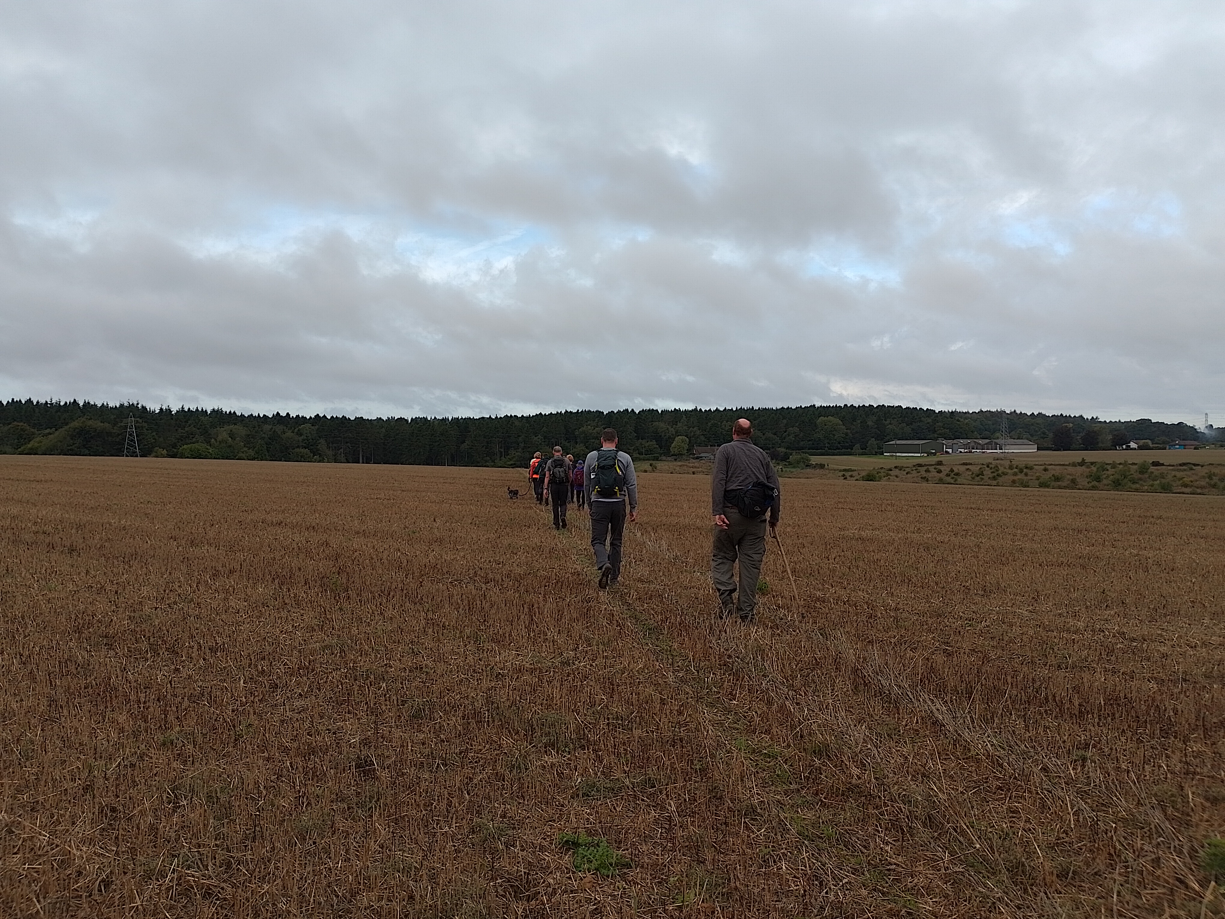
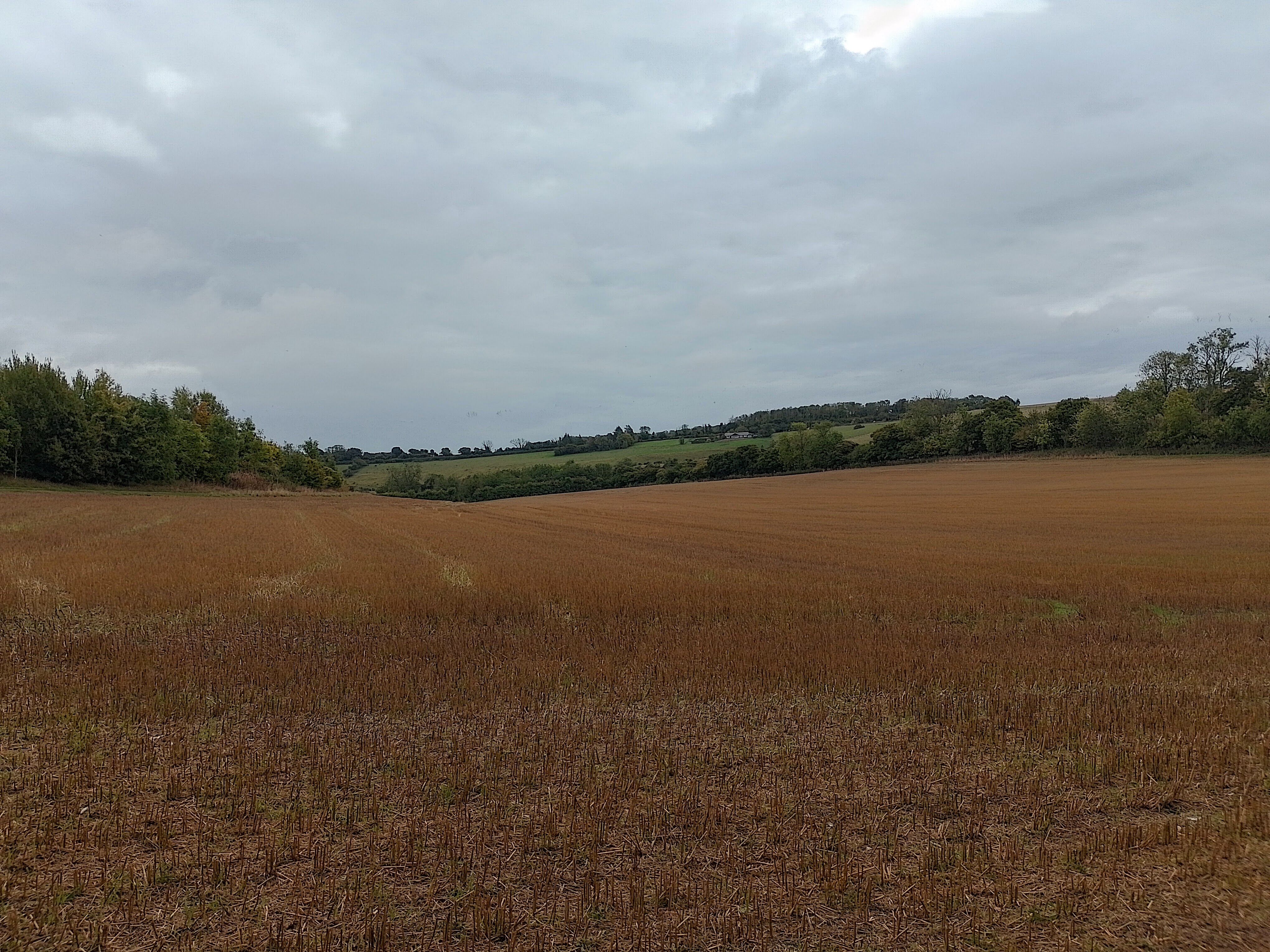
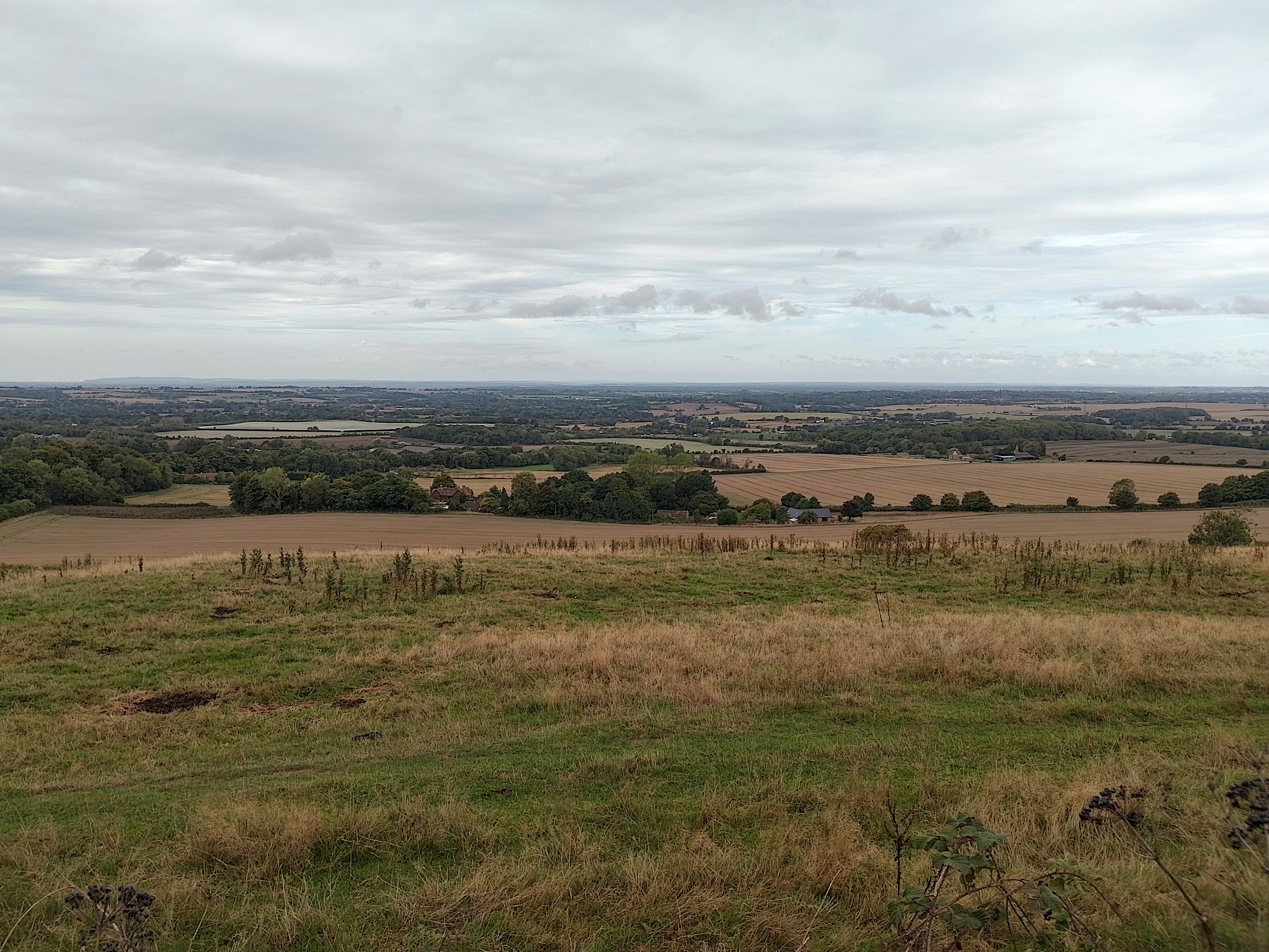
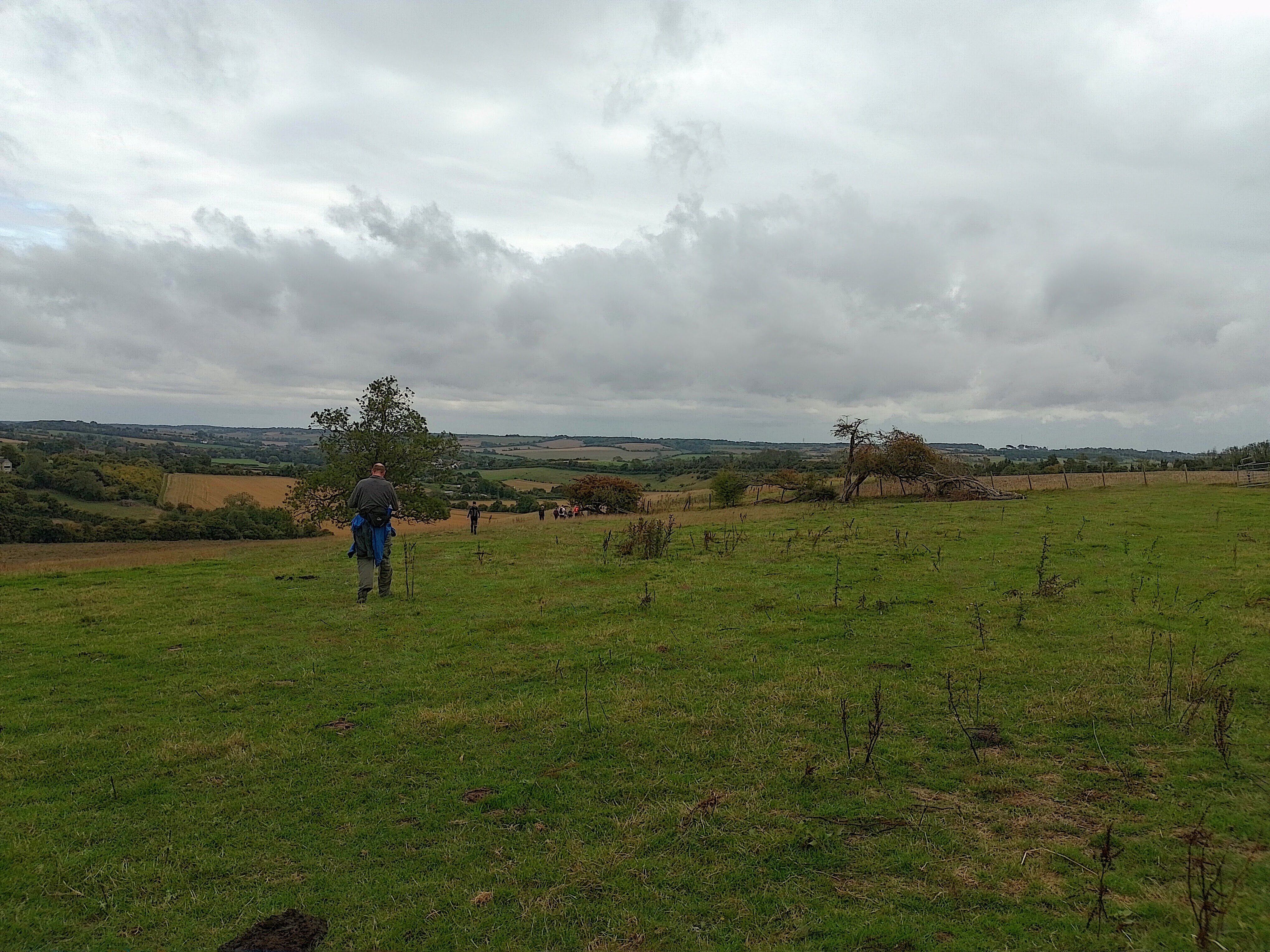
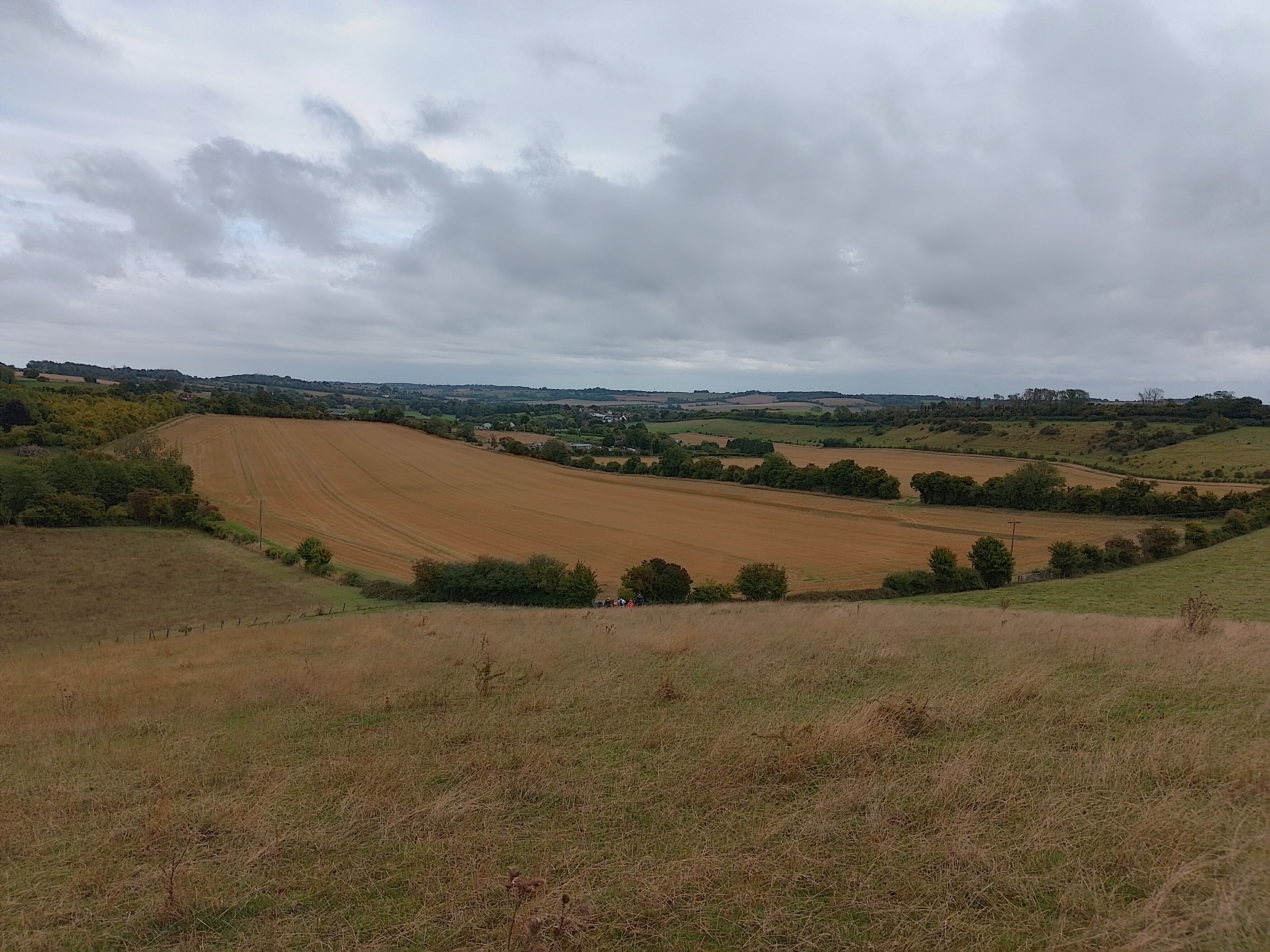
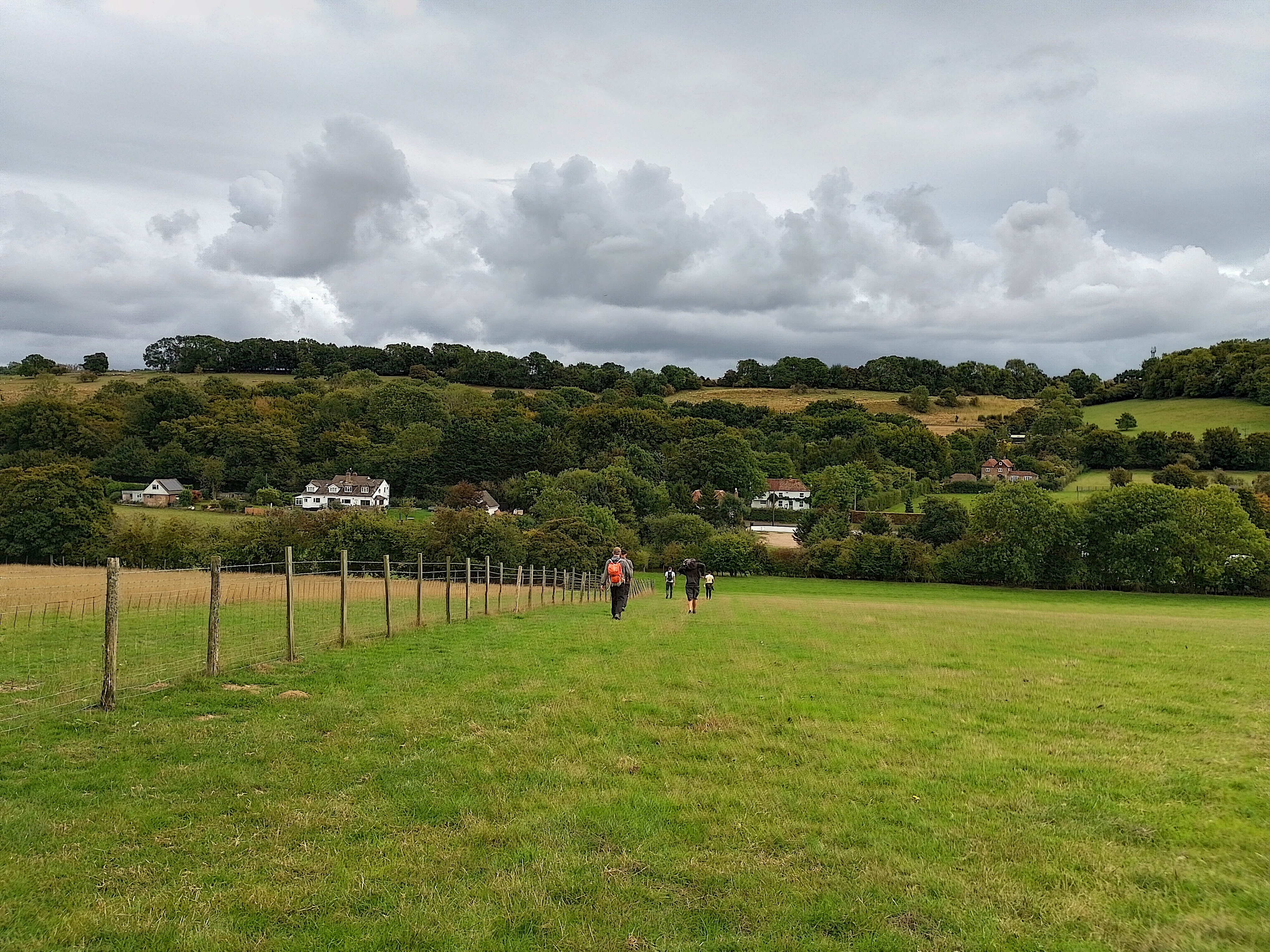
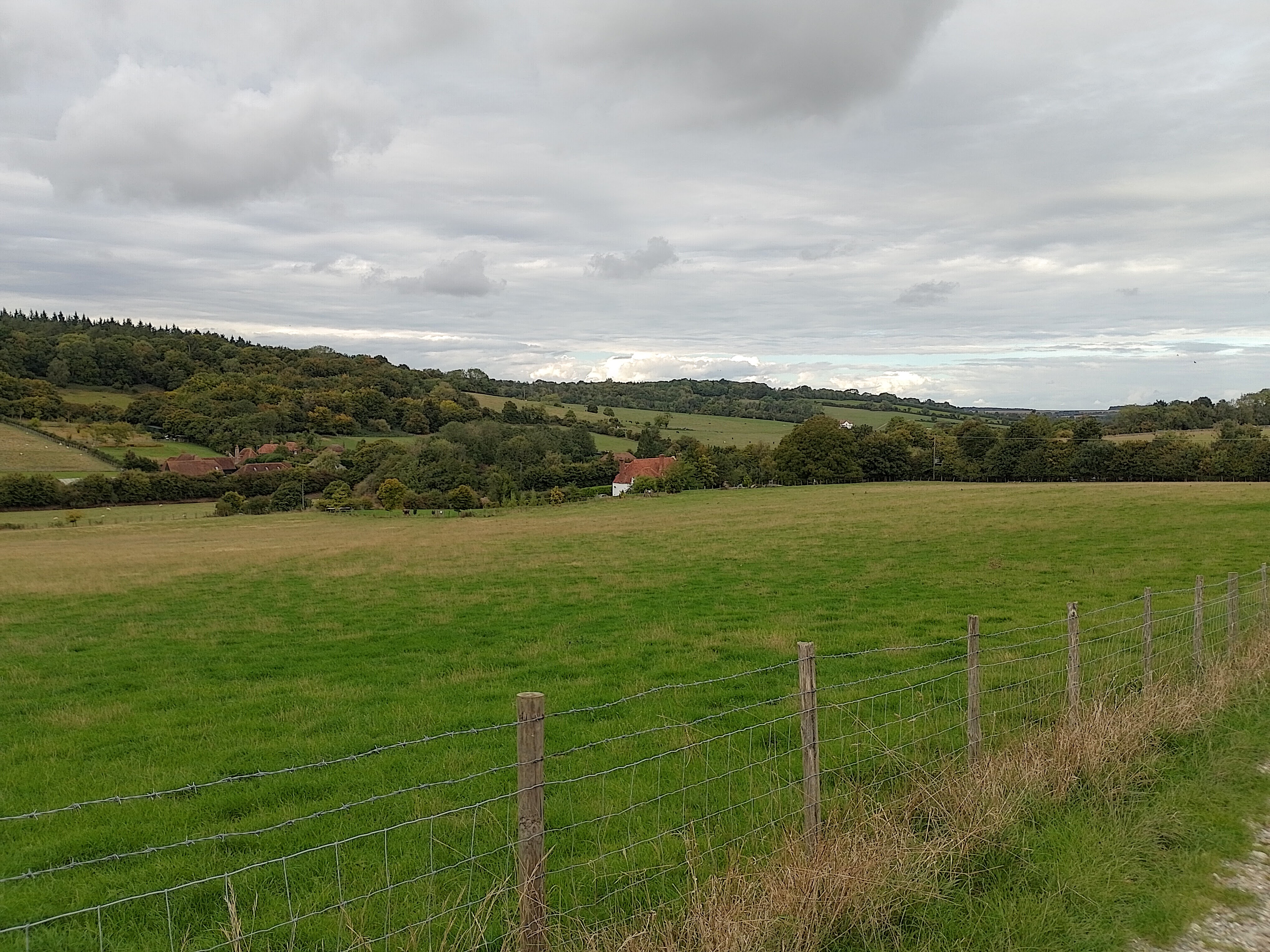
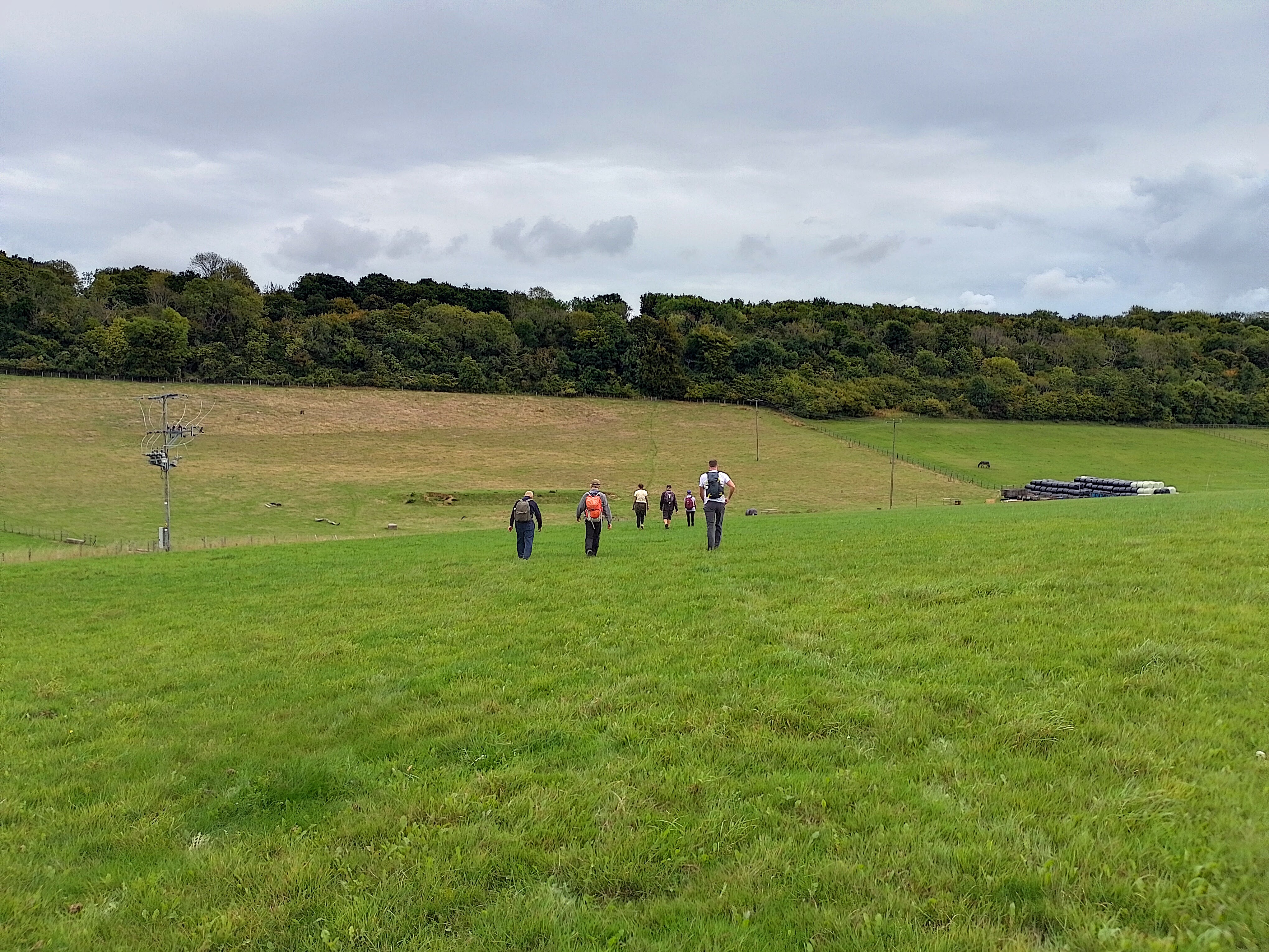
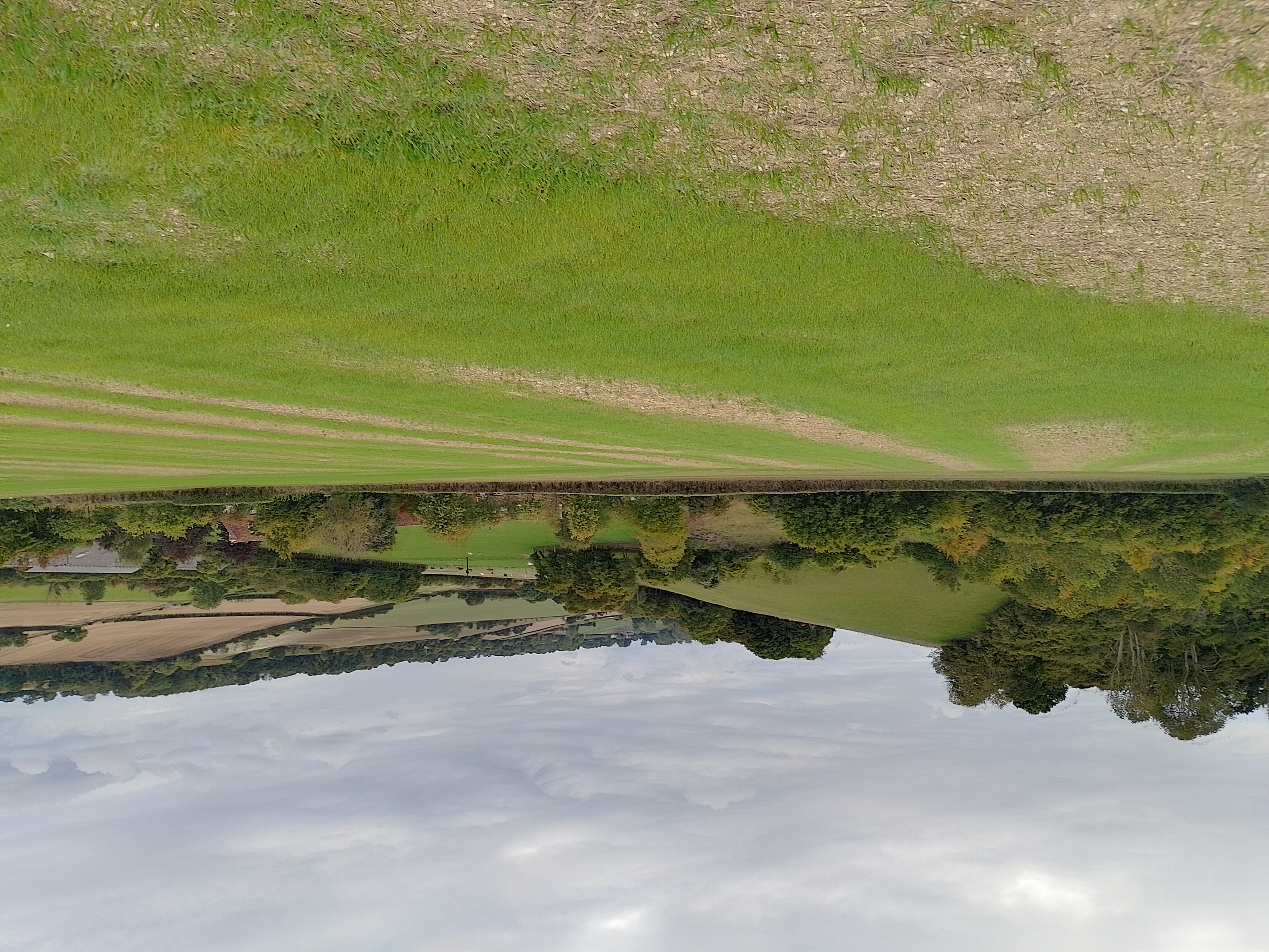
Start and finish Elham Square car park (access via St Mary's Road) free parking. Public toilet in the village. Morning loop (10 miles) takes us West up to and through West Wood then up to Farthing Common, one of the highest points of the North Downs Way with beautiful views of the Kent Downs. Down through Lyminge picking up the EVW back to the lunch stop is back where we started; choice of 2 pubs for lunch or "car boot picnic" (to save carrying your lunch with you). Afternoon loop takes us up North of Elham towards Bladbean, across the valley by Breach, down to Wingmore coming back into Elham via the EVW. Approx 1700ft ascent, a few short steep climbs
Web Site
Start and Finish

Entry Details:
Cost
Other Files
GPX
A GPX file of the above route may be downloaded by clicking the link below.
Note: GPX files of Group Walks are created by LDWA Group members, and may be downloaded only by other LDWA members. They should not be made available outside the LDWA, and are used at members' own risk.
Login to Download (Members Only)You can use the interactive controls to zoom in and out and to move around the map, or click on a path or a marker for more info. (interactive map help)
You can use the interactive controls to zoom in and out and to move around the map, or click on a path or a marker for more info. (interactive map help)
Contains Ordnance Survey data © Crown copyright and database right 2016.
© OpenStreetMap contributors under Open Database Licence
Rights of way data from selected Local Authorities
Large scale digital mapping is provided by John Thorn
At high zoom levels the route is indicative only.
© OpenStreetMap contributors under Open Database Licence
Rights of way data from selected Local Authorities
Large scale digital mapping is provided by John Thorn
At high zoom levels the route is indicative only.
Gallery
Maps:
You can use the interactive controls to zoom in and out and to move around the map, or click on a marker for more info. (interactive map help)
Contains Ordnance Survey data © Crown copyright and database right 2016.
© OpenStreetMap contributors under Open Database Licence.
Rights of way data from selected Local Authorities.
Large scale digital mapping is provided by John Thorn.
© OpenStreetMap contributors under Open Database Licence.
Rights of way data from selected Local Authorities.
Large scale digital mapping is provided by John Thorn.







