
Lynx Africa
Sat 21st Aug 2021
Walk Details:
Circular walk over moorland, woodland and farmland to Hamsterley Village. and back
Entry Details:
Walk Report
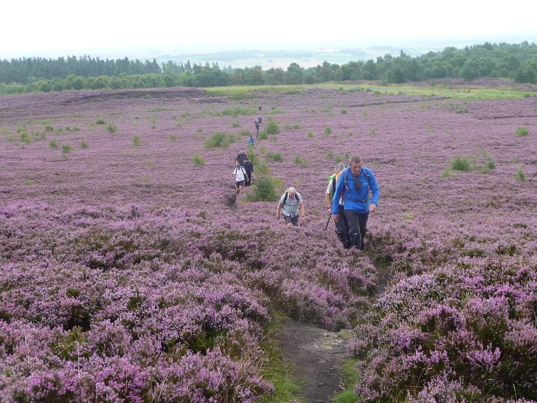
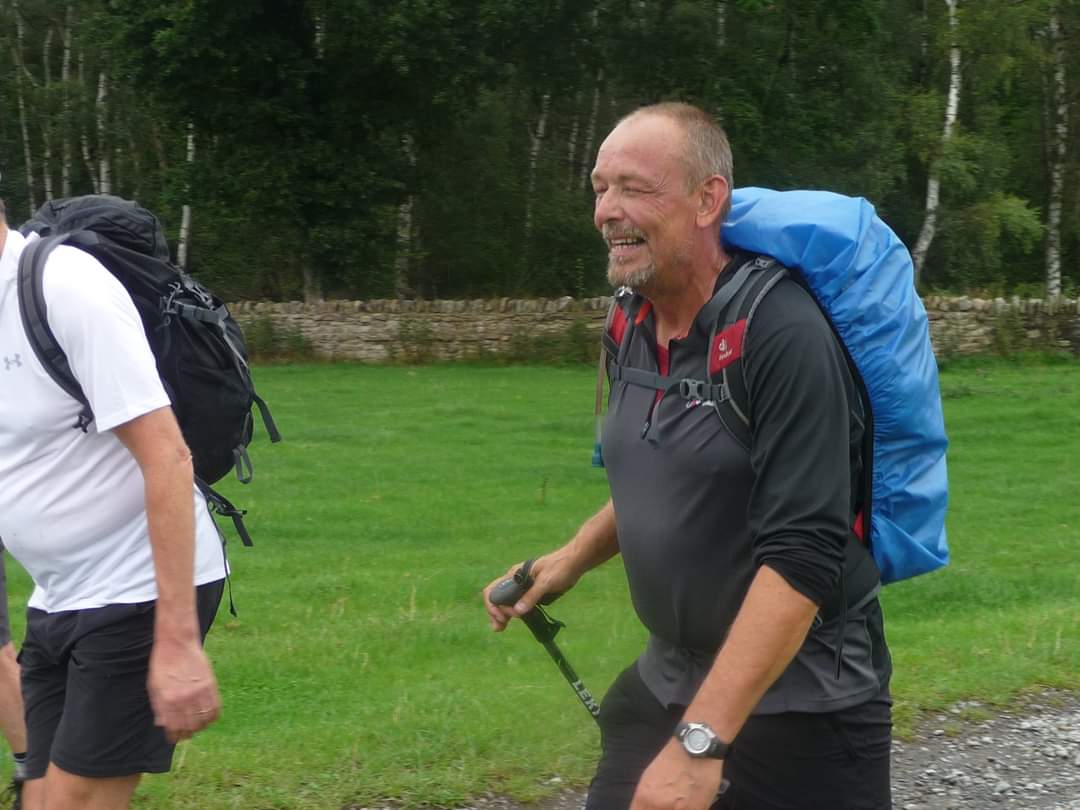
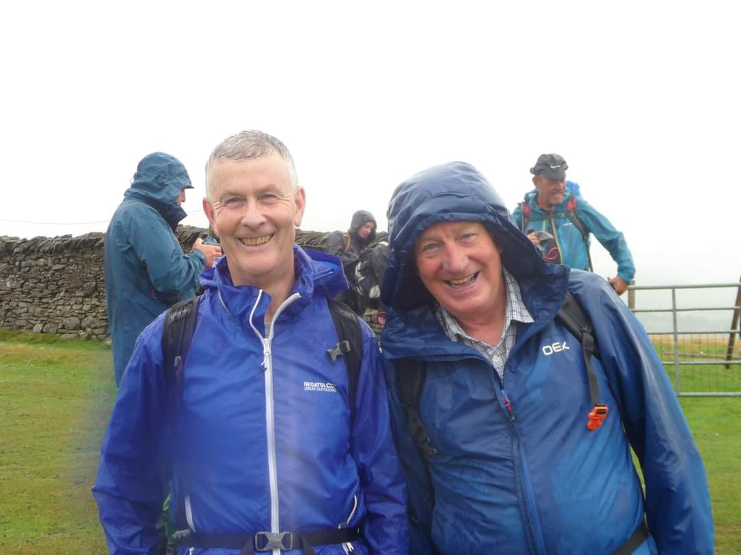
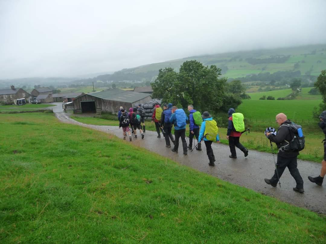
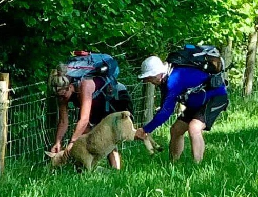
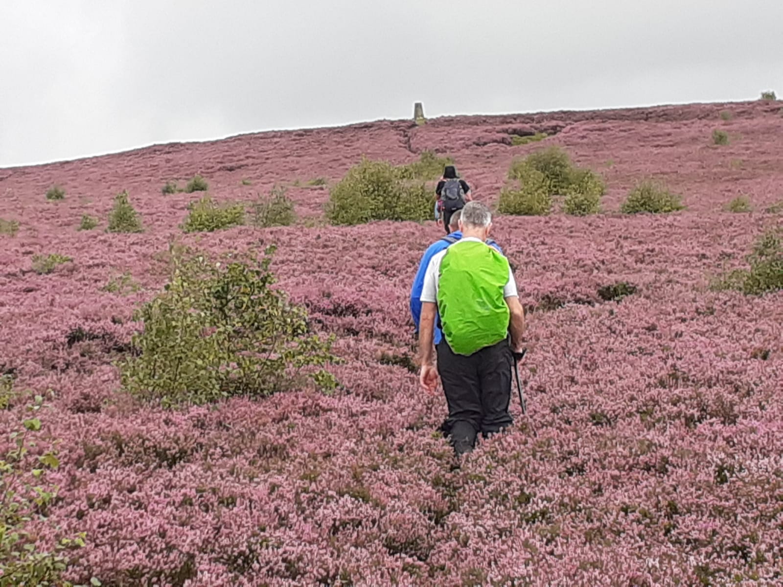
Leaders-Paul Ashman, Paul Nellist. 15 walkers. The forecast before the walk was pretty poor, with much rain expected. However, those that took a chance were rewarded as there was only the occasional brief shower. Wolsingham-west through farmland South of the Wear, joining the Weardale Way at Biggins farm- up onto the Pikeston Fell moorland - track around Doctors Gate Quarry - Stanhope Lane - Hoppyland Farm - Harthope Mill - Hamsterley Village - Crossed the Bedburn Beck at private bridge at Spa Wells( NZ123322 ) which on the day we had permission to do so. Normally the bridge at Carwood Hill ( NZ117322) a 1/2km upstream would need to be used - Knitsey Fell trig pillar - descent through farmland back to Wolsingham. Drinks at the Golden Lion, Wolsingham, with homemade cake and biscuits provided by Clare Jeffray. 19 miles, 699 metres of ascent. Took just under 8 hours.Other Files
Download Walk ReportGPX
A GPX file of the above route may be downloaded by clicking the link below.
Note: GPX files of Group Walks are created by LDWA Group members, and may be downloaded only by other LDWA members. They should not be made available outside the LDWA, and are used at members' own risk.
Login to Download (Members Only)You can use the interactive controls to zoom in and out and to move around the map, or click on a path or a marker for more info. (interactive map help)
You can use the interactive controls to zoom in and out and to move around the map, or click on a path or a marker for more info. (interactive map help)
© OpenStreetMap contributors under Open Database Licence
Rights of way data from selected Local Authorities
Large scale digital mapping is provided by John Thorn
At high zoom levels the route is indicative only.
Gallery
Maps:
You can use the interactive controls to zoom in and out and to move around the map, or click on a marker for more info. (interactive map help)
© OpenStreetMap contributors under Open Database Licence.
Rights of way data from selected Local Authorities.
Large scale digital mapping is provided by John Thorn.


