
Reeth Ramble
Sat 24th Jul 2021
Walk Details:
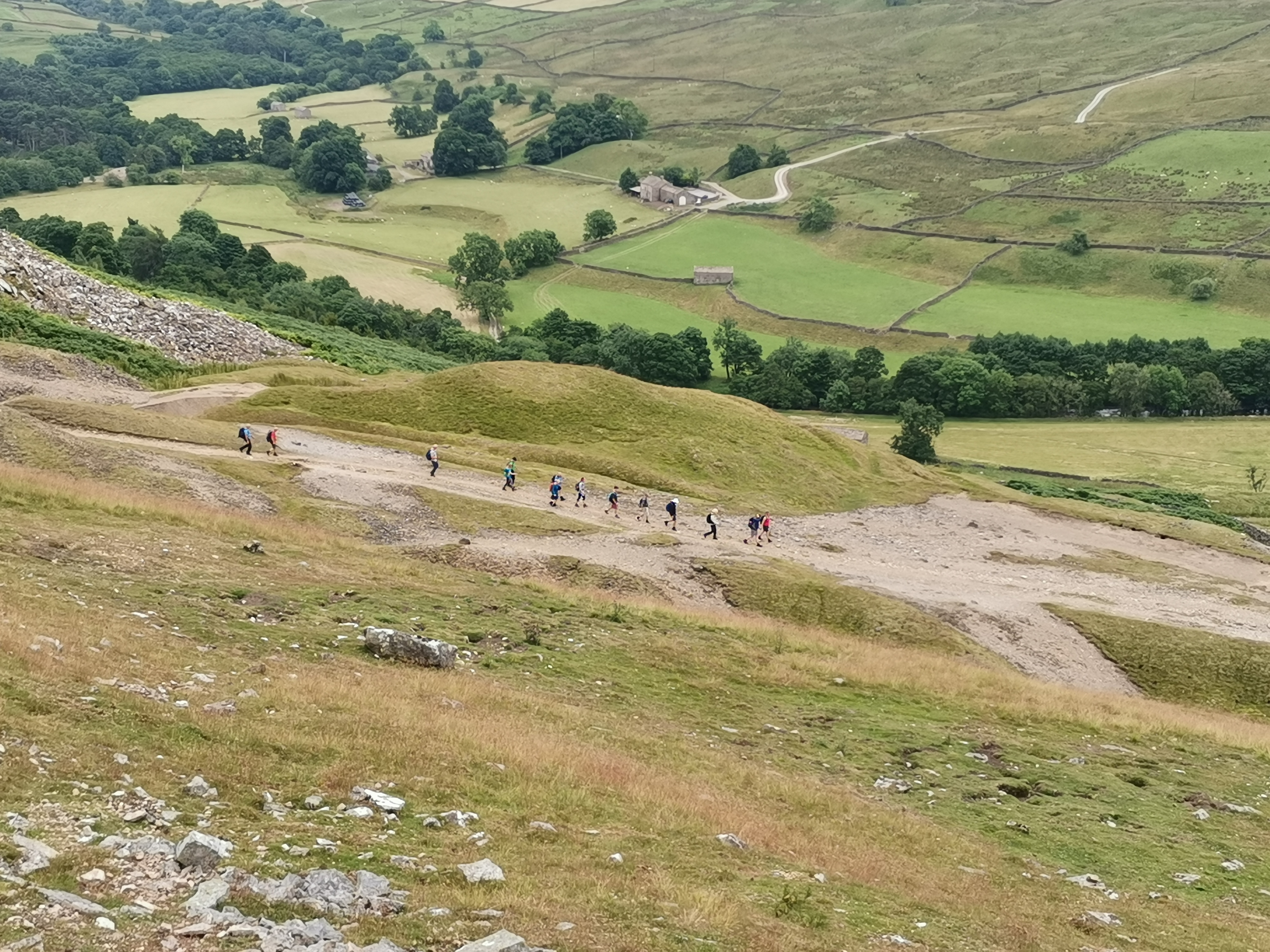
A repetition of a March 2013 walk which climbs steeply from Reeth upto and along Fremlington Edge to expand those lungs and descends eventually to the Arkle beck in Argkengarthdale, with a leisurely river path, before climbing to the well disguised Trig point at Great Pinseat. Return is via the Coast to Coast path and Barney Beck before pastures above the River Swale to Reeth.
Gentle pace only 16 miles but 871 metres of ascent.
09.00 am start, finish by 16.30.
Dogs welcome on leads.
Drinks afterwards The Kings Arms, Reeth.
Entry Details:
Walk Report
17 miles. 909 metres of ascent. Reeth-Fremington Edge-Booze-Whaw-Great Pinseat Trig Pillar-Old Gang Mine-Healaugh-Reeth.Other Files
Download Walk ReportGPX
A GPX file of the above route may be downloaded by clicking the link below.
Note: GPX files of Group Walks are created by LDWA Group members, and may be downloaded only by other LDWA members. They should not be made available outside the LDWA, and are used at members' own risk.
Login to Download (Members Only)You can use the interactive controls to zoom in and out and to move around the map, or click on a path or a marker for more info. (interactive map help)
You can use the interactive controls to zoom in and out and to move around the map, or click on a path or a marker for more info. (interactive map help)
© OpenStreetMap contributors under Open Database Licence
Rights of way data from selected Local Authorities
Large scale digital mapping is provided by John Thorn
At high zoom levels the route is indicative only.
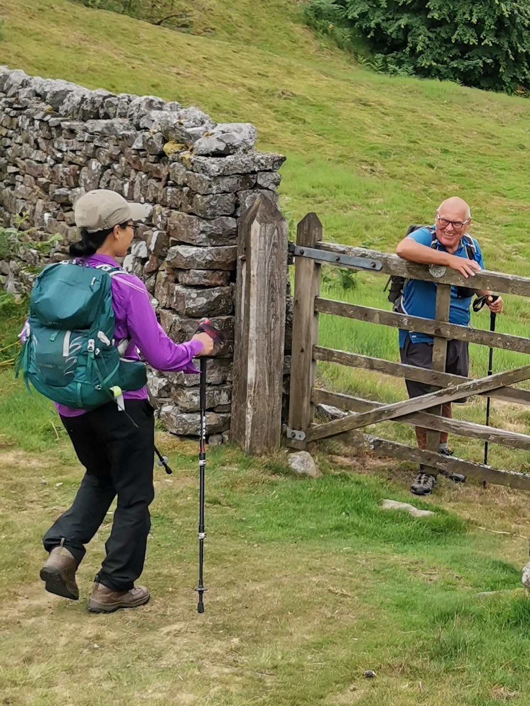
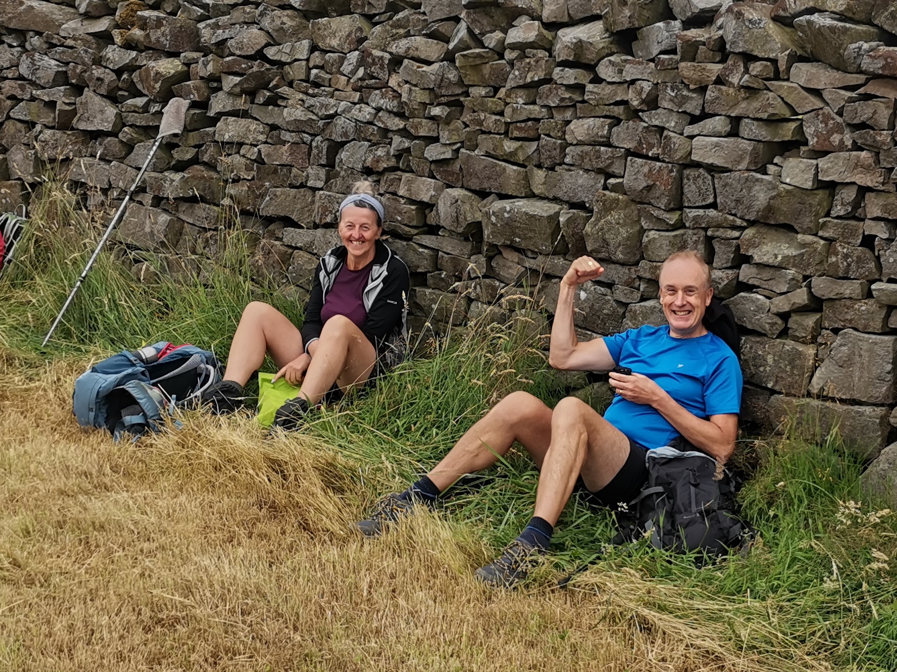
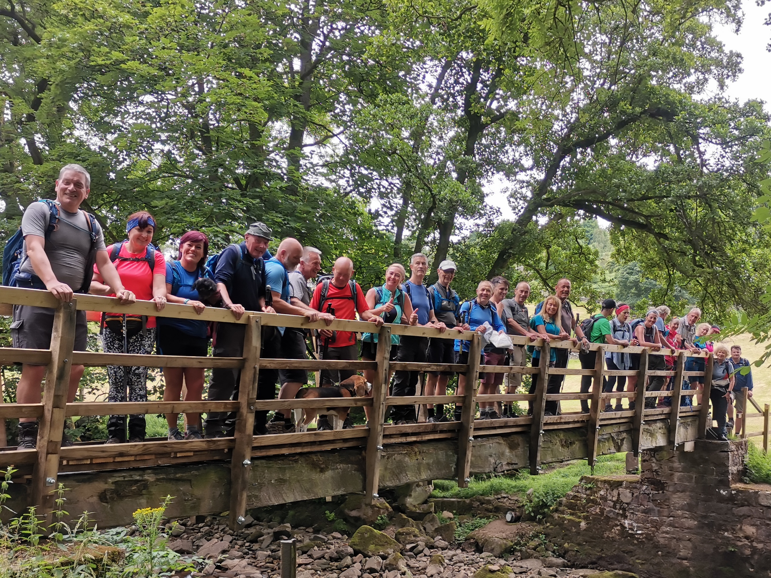
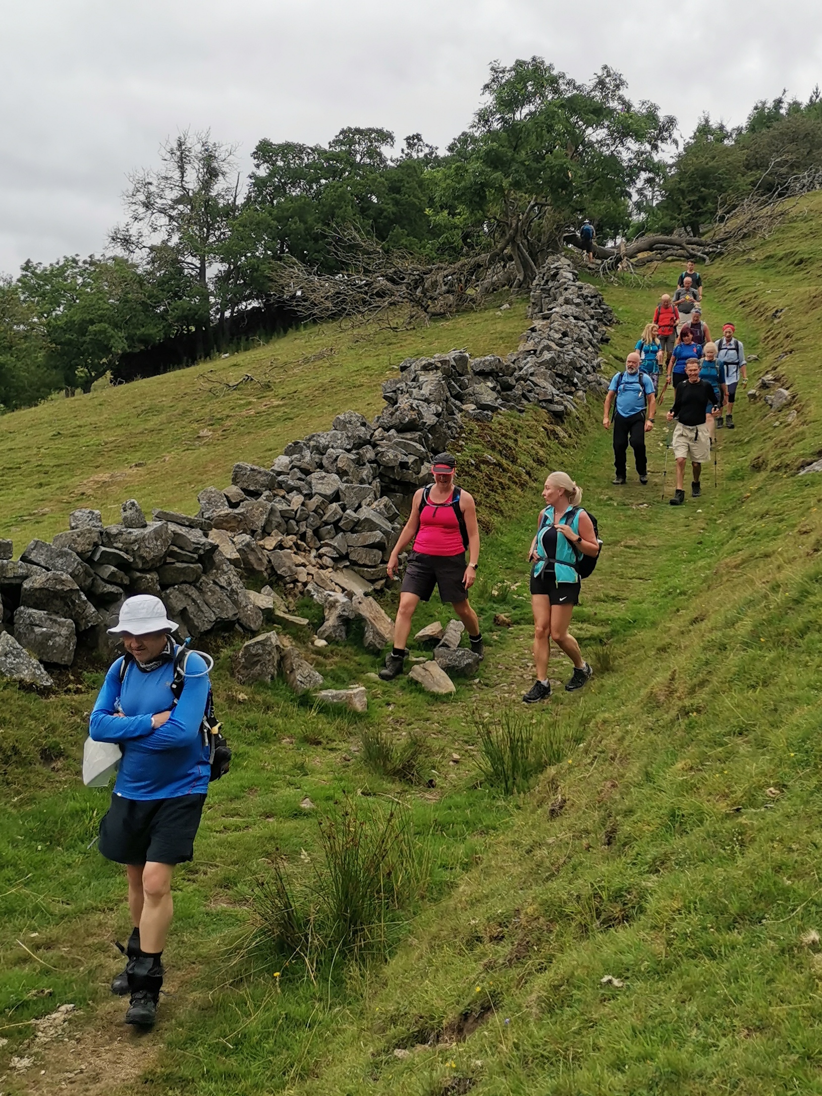
Gallery

Maps:
You can use the interactive controls to zoom in and out and to move around the map, or click on a marker for more info. (interactive map help)
© OpenStreetMap contributors under Open Database Licence.
Rights of way data from selected Local Authorities.
Large scale digital mapping is provided by John Thorn.


