


Break for the Border - Oxted
Sun 23rd Feb 2020
Walk Details:
The first in a series of walks which start outside but always within 5 miles of the Kent border. Circular route with a pub stop at Chelsham
Entry Details:
Walk Report
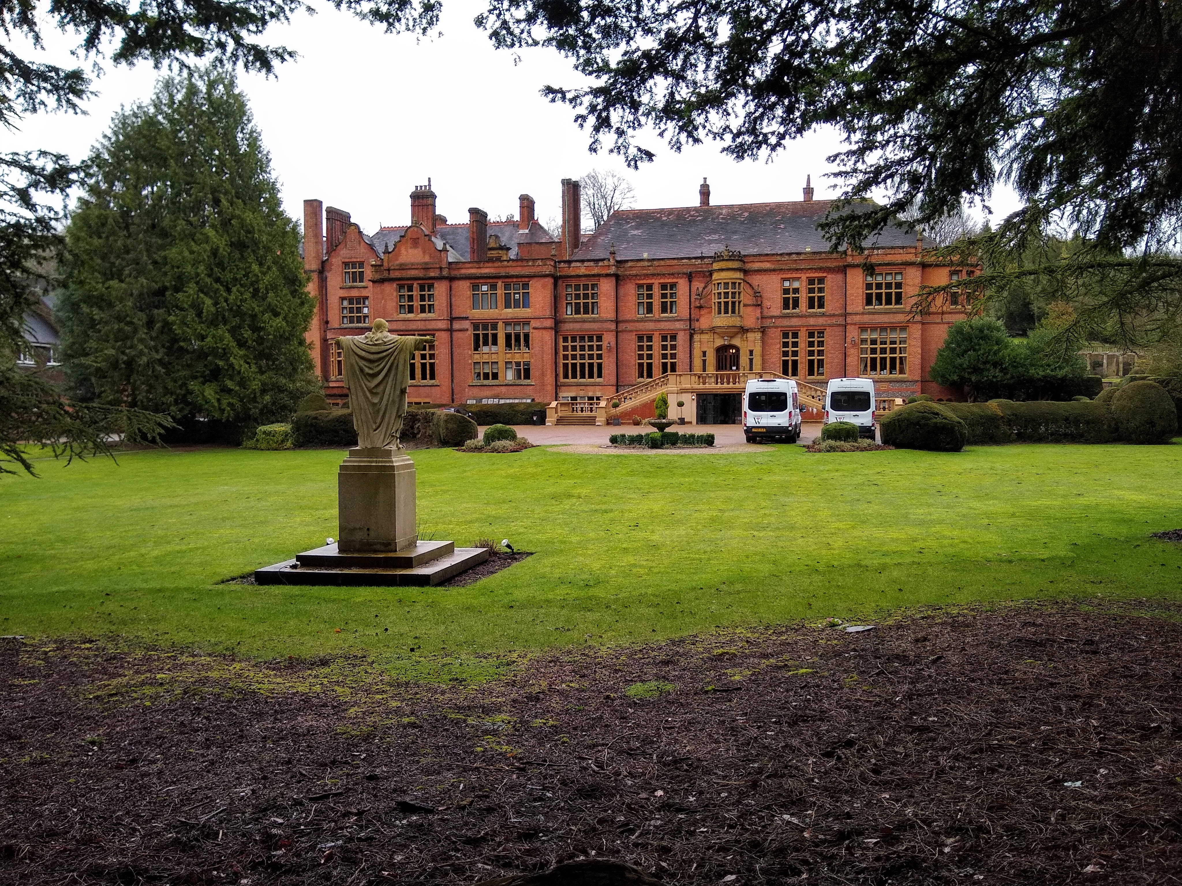
The walk starts from Oxted Station and heads east towards Limpsfield before picking up the Greensand Way, turning north to cross the M25. It then heads west joining the North Downs Way / Pilgrims Way later swinging northwards to begin a clockwise loop and passing Woldingham School. On completion of the loop, the route continues northwards to cross Woldingham Golf Club and then heads north easterly to reach Chelsham for the lunch stop. From Chelsham, the route goes east before turning to head in a south westerly direction to join the Vanguard Way/ Greenwich Meridien Trail. It continues southward towards the M25 and the outward route is followed back to Oxted.Other Files
GPX
A GPX file of the above route may be downloaded by clicking the link below.
Note: GPX files of Group Walks are created by LDWA Group members, and may be downloaded only by other LDWA members. They should not be made available outside the LDWA, and are used at members' own risk.
Login to Download (Members Only)You can use the interactive controls to zoom in and out and to move around the map, or click on a path or a marker for more info. (interactive map help)
You can use the interactive controls to zoom in and out and to move around the map, or click on a path or a marker for more info. (interactive map help)
© OpenStreetMap contributors under Open Database Licence
Rights of way data from selected Local Authorities
Large scale digital mapping is provided by John Thorn
At high zoom levels the route is indicative only.
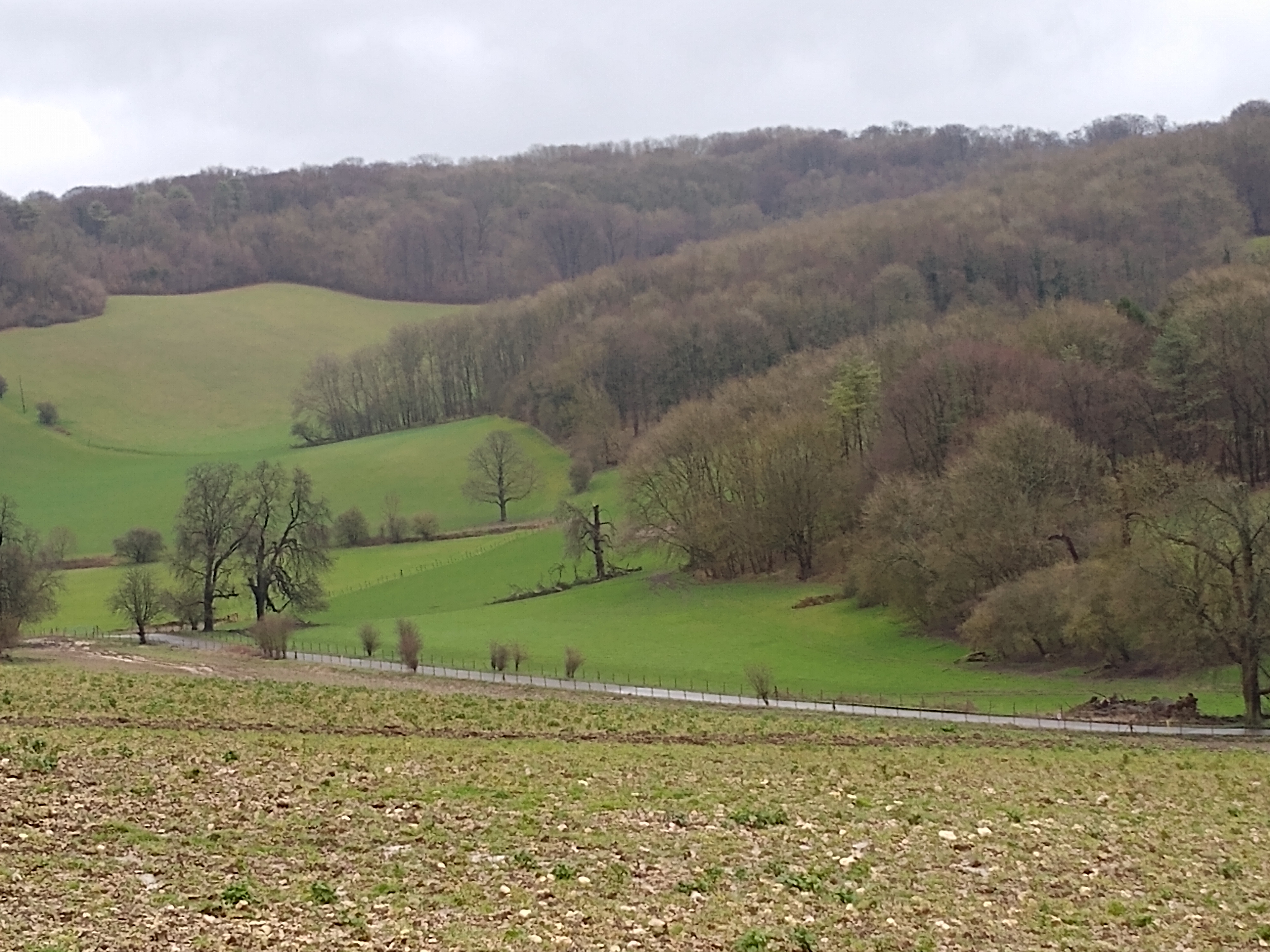
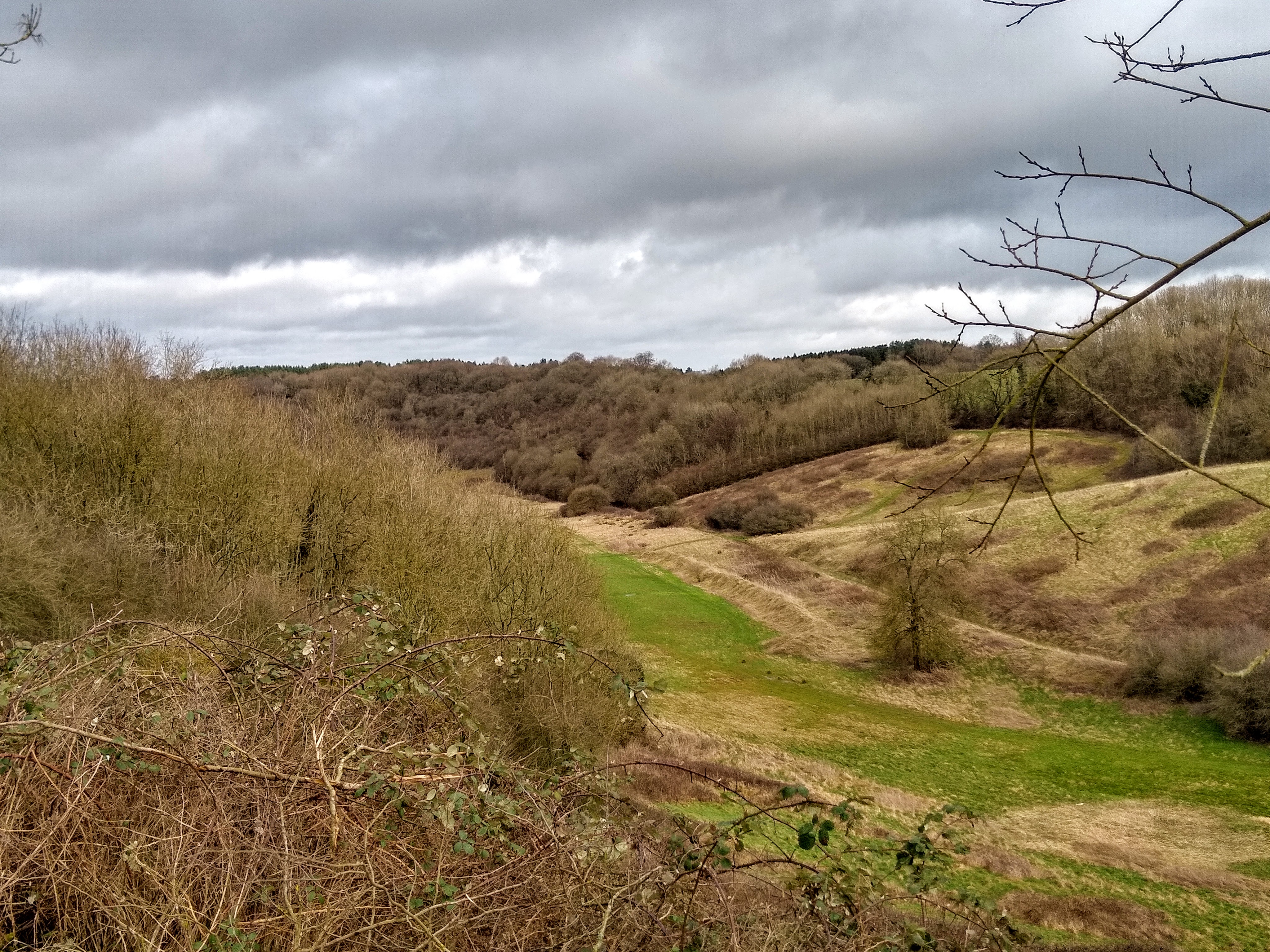
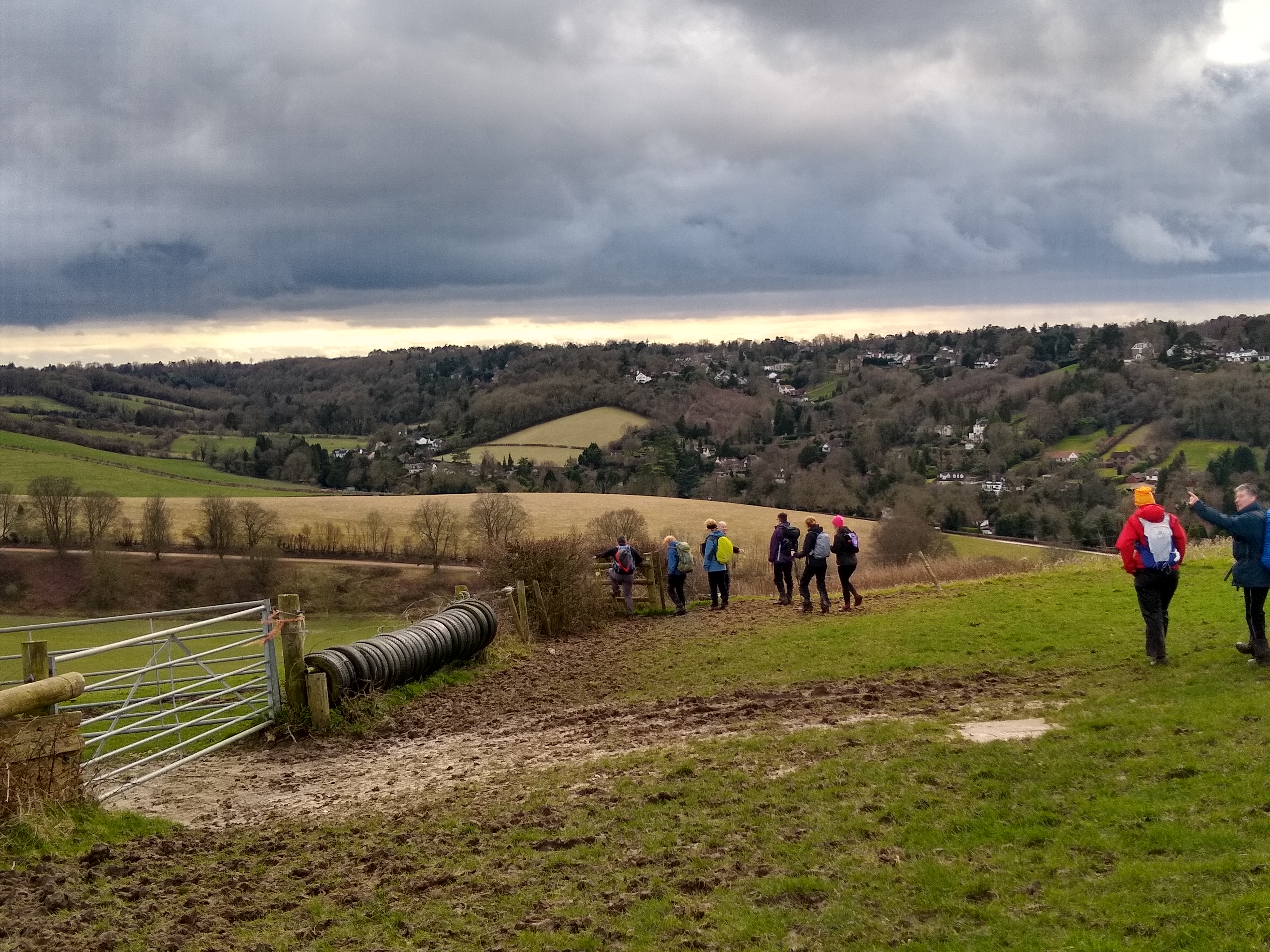
Gallery
Maps:
You can use the interactive controls to zoom in and out and to move around the map, or click on a marker for more info. (interactive map help)
© OpenStreetMap contributors under Open Database Licence.
Rights of way data from selected Local Authorities.
Large scale digital mapping is provided by John Thorn.


