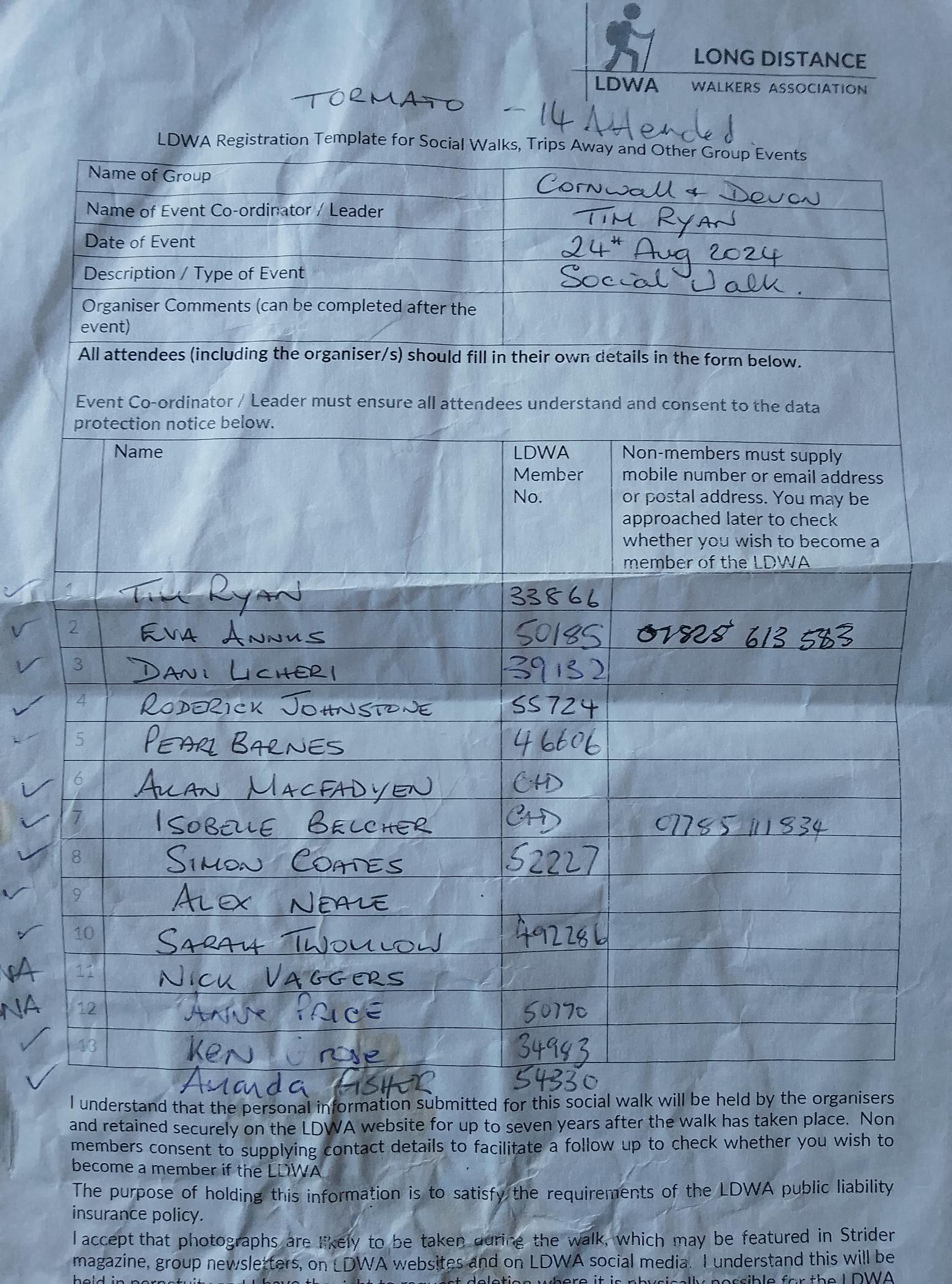
Tormato - August Bank Holiday Special (Day 1)
Sat 24th Aug 2024
Walk Details:
A circular route of about 18 miles. Climbing the highest points on north Dartmoor, with moorland crossings & a visit to Meldon Reservoir & the hamlet of Lake before returning to Okehampton station via the Dartmoor Way. Mostly on open moorland & footpaths

Entry Details:
Walk Report
The walk was day 1 of a 3 day bank holiday weekend. The route was initially over the moor, visibility was poor and there was heavy rain and wind. By the afternoon it was clear and sunny. One walker "Daisy" did not have the most appropriate clothing but despite attempts to give her spares she was adamant that she was warm enough and turned it down. Dani got stung on the hand by a wasp/hornet took an antihistamine.Other Files
Download Walk ReportGPX
A GPX file of the above route may be downloaded by clicking the link below.
Note: GPX files of Group Walks are created by LDWA Group members, and may be downloaded only by other LDWA members. They should not be made available outside the LDWA, and are used at members' own risk.
Login to Download (Members Only)You can use the interactive controls to zoom in and out and to move around the map, or click on a path or a marker for more info. (interactive map help)
You can use the interactive controls to zoom in and out and to move around the map, or click on a path or a marker for more info. (interactive map help)
© OpenStreetMap contributors under Open Database Licence
Rights of way data from selected Local Authorities
Large scale digital mapping is provided by John Thorn
At high zoom levels the route is indicative only.
Maps:
You can use the interactive controls to zoom in and out and to move around the map, or click on a marker for more info. (interactive map help)
© OpenStreetMap contributors under Open Database Licence.
Rights of way data from selected Local Authorities.
Large scale digital mapping is provided by John Thorn.