


From Spike Milligan to Jane Eyre and back.
Sun 18th Dec 2022
Walk Details:
The morning section will head up to the North Downs Way (hilly) and the afternoon return will mainly follow the river, partly on the Medway Valley Walk (flat). Lunch will be close to Rochester Cathedral and Castle in the High Street. There are several pubs (including a Wetherspoons) and other cafes/tea rooms; also there are opportunities for a picnic lunch
Entry Details:
Walk Report
Note GPX file is as the walk was proposed. In view of the weather conditions on the day, there were a couple of minor alterations during the walk.Other Files
GPX
A GPX file of the above route may be downloaded by clicking the link below.
Note: GPX files of Group Walks are created by LDWA Group members, and may be downloaded only by other LDWA members. They should not be made available outside the LDWA, and are used at members' own risk.
Login to Download (Members Only)You can use the interactive controls to zoom in and out and to move around the map, or click on a path or a marker for more info. (interactive map help)
You can use the interactive controls to zoom in and out and to move around the map, or click on a path or a marker for more info. (interactive map help)
© OpenStreetMap contributors under Open Database Licence
Rights of way data from selected Local Authorities
Large scale digital mapping is provided by John Thorn
At high zoom levels the route is indicative only.
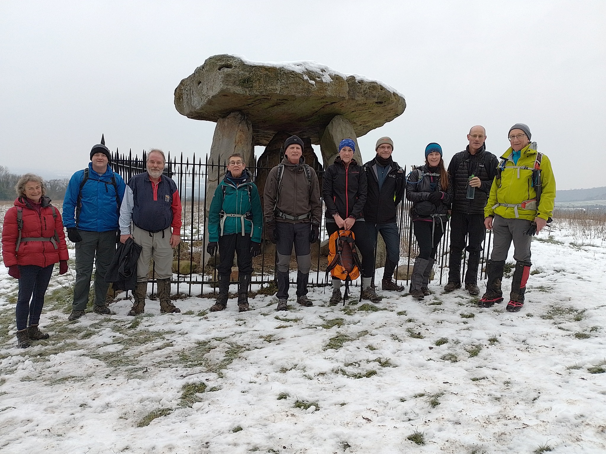
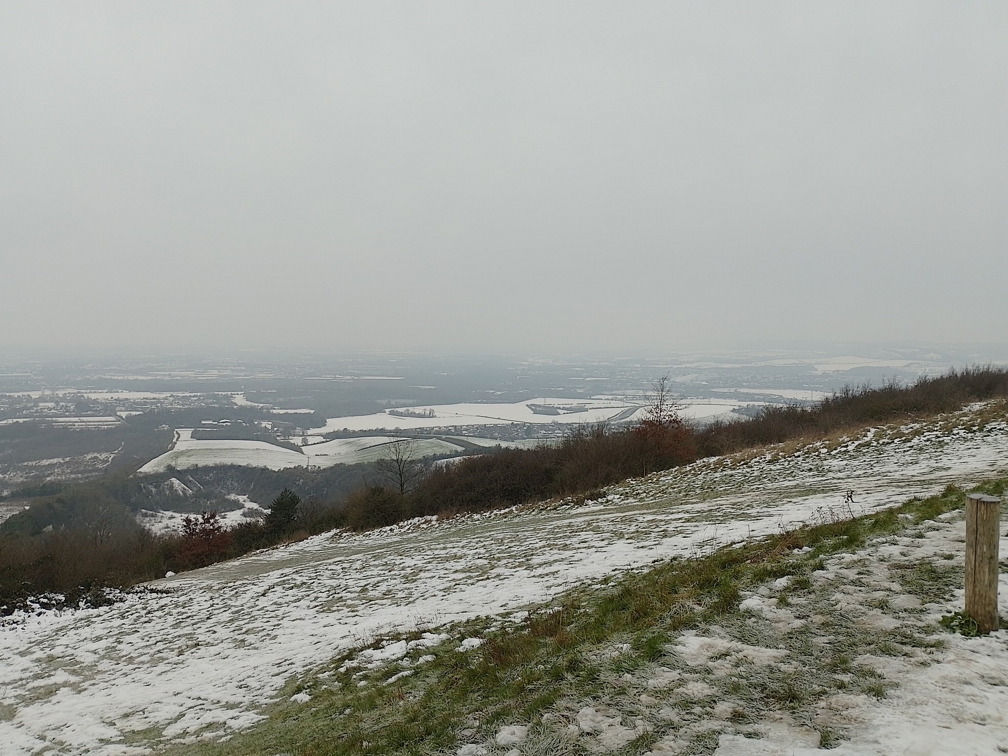
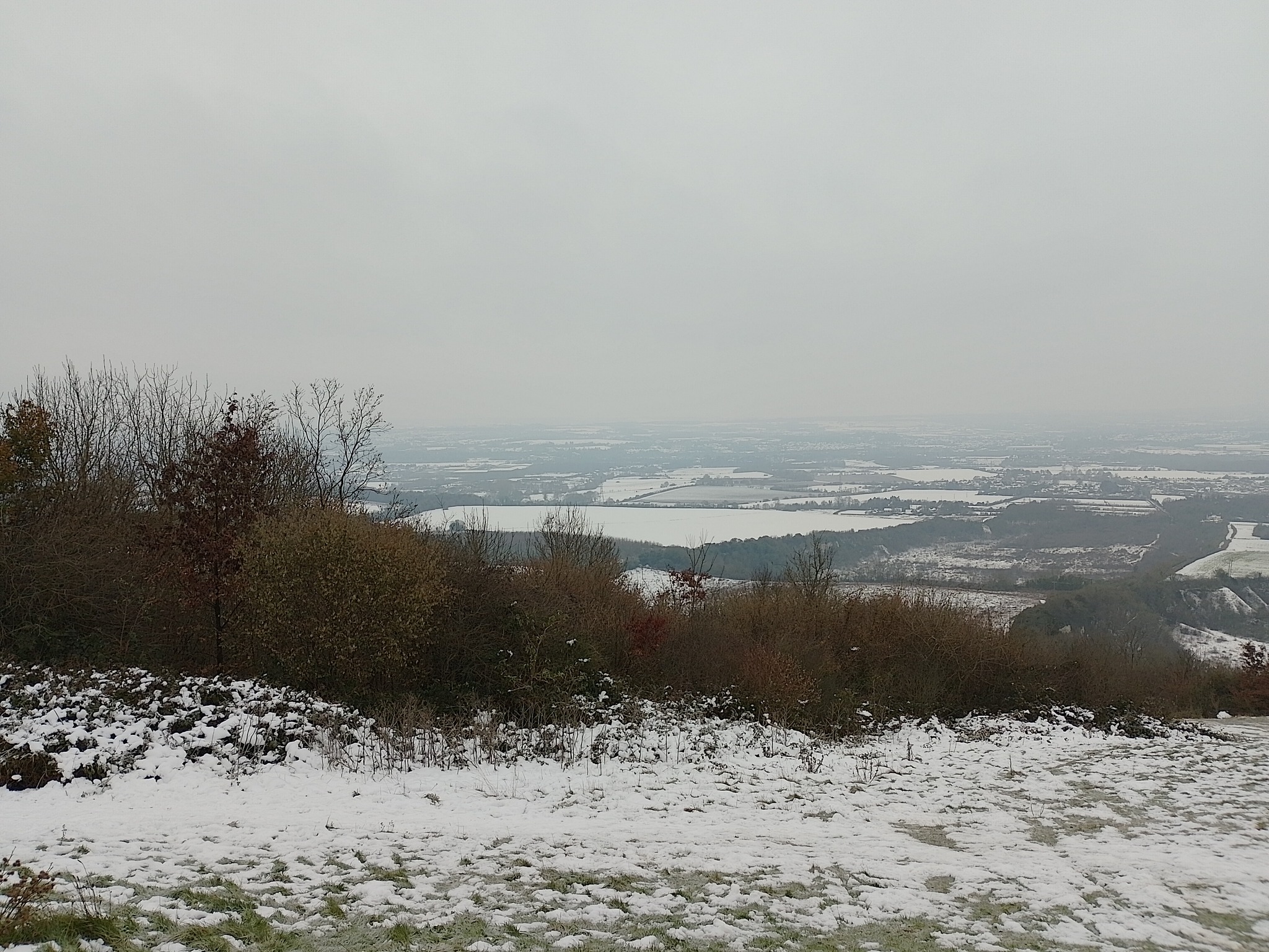
Gallery
Maps:
You can use the interactive controls to zoom in and out and to move around the map, or click on a marker for more info. (interactive map help)
© OpenStreetMap contributors under Open Database Licence.
Rights of way data from selected Local Authorities.
Large scale digital mapping is provided by John Thorn.


