
Border Terrier
Sat 25th Sep 2021
Walk Details:
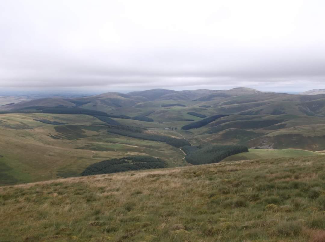
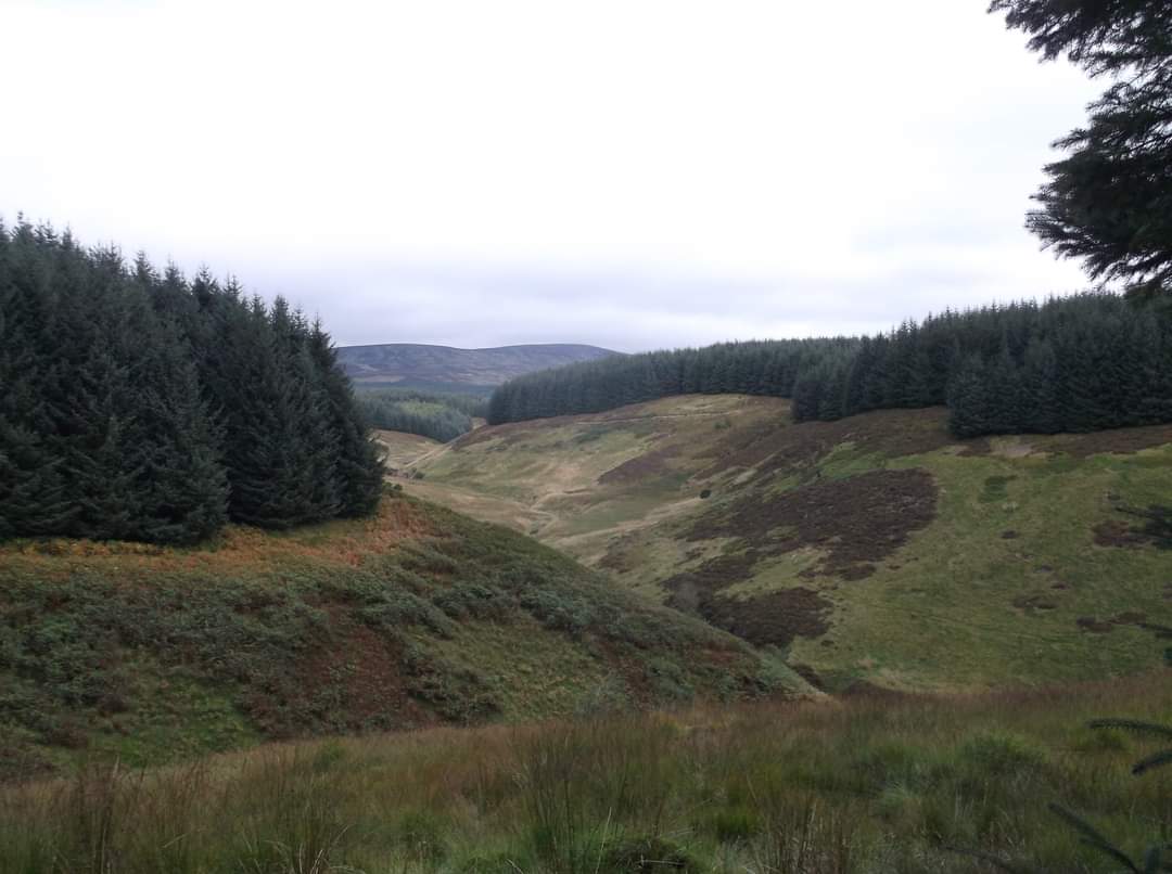
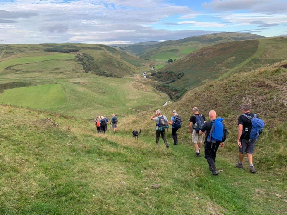
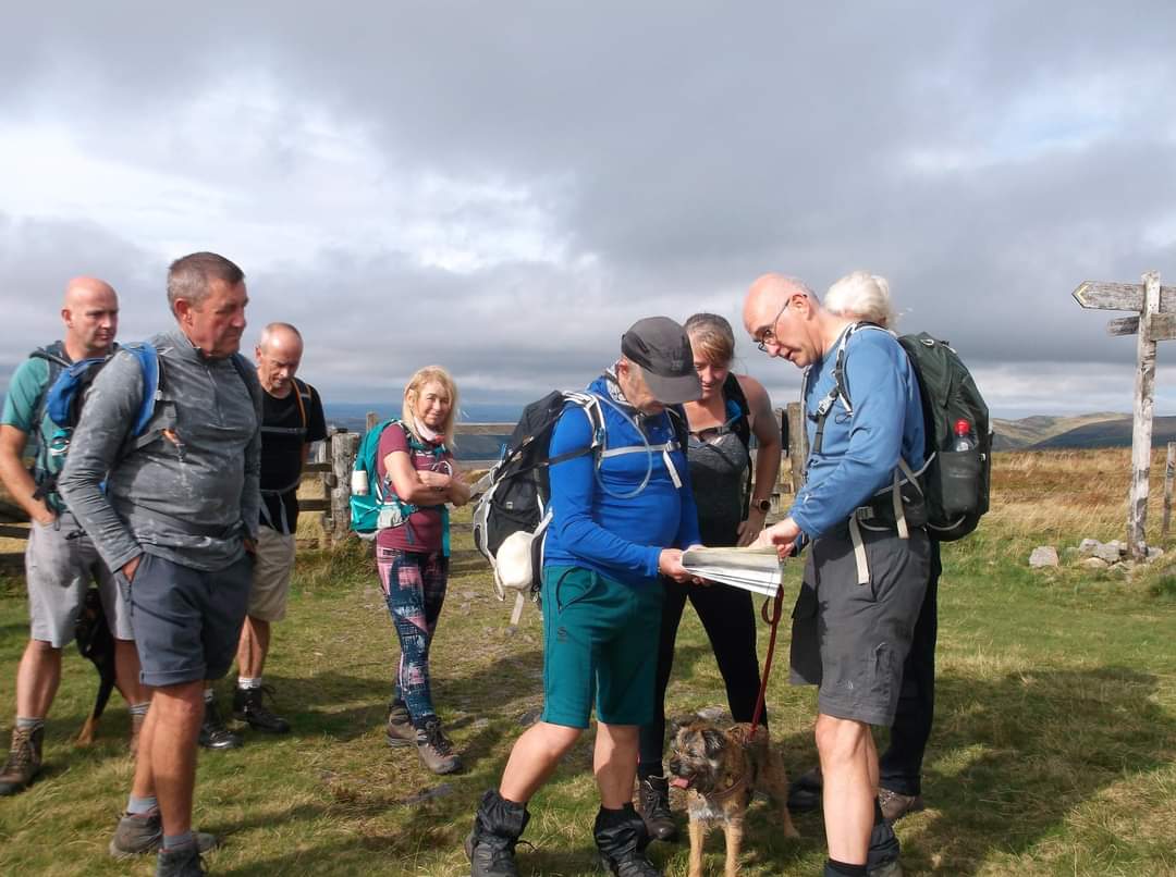
Circular walk from the green, Alwinton Village into the Cheviot Hills. Parking on green opposite the Rose and Thistle pub, or at the National Park car park in the centre of this small village (2 pounds all day). Post Code NE65 7BQ. Leaders Paul Nellist and Paul Ashman. Alwinton, Clennel Street, Uswayford, Border Ridge, Windy Gyle, Little Ward Law, Fairhaugh, Shillmoor. Dogs welcome on leads but note there are sheep everywhere. Map OS OL 16, The Cheviot Hills. This is quite a tough walk in the Cheviots with 1050 metres of ascent. I would anticipate taking about 9 hours, so we should return in daylight. No need for pre-walk registration, just turn up on the day
Entry Details:
Walk Report
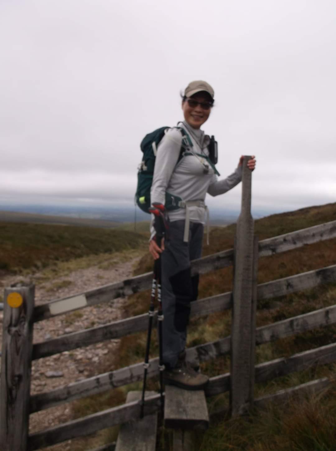
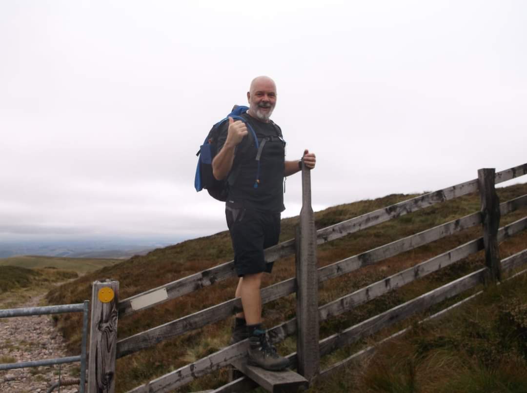
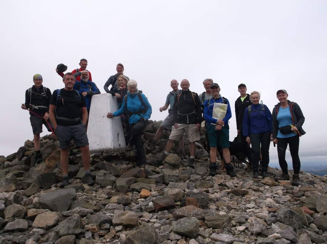
Leaders Paul Nellist/Paul Ashman. 15 walkers, plus Stella and Poppy. Fine weather, sunny intervals, mild southerly breeze, perfect autumn walking conditions. Dry underfoot. Alwinton-pass peth over to Shillmoor - along the Uswayburn to Balashiel Haugh and Fairhaugh - ascending between Ward Law and Little Ward law to Scotchman's Ford and then up onto the border ridge to Windy Gyle - border ridge to Hexpethgate - Uswayford - Clennel Street back to Alwinton distance 20 miles ascent 965 metres time 8 hours 15 minutesOther Files
GPX
A GPX file of the above route may be downloaded by clicking the link below.
Note: GPX files of Group Walks are created by LDWA Group members, and may be downloaded only by other LDWA members. They should not be made available outside the LDWA, and are used at members' own risk.
Login to Download (Members Only)You can use the interactive controls to zoom in and out and to move around the map, or click on a path or a marker for more info. (interactive map help)
You can use the interactive controls to zoom in and out and to move around the map, or click on a path or a marker for more info. (interactive map help)
© OpenStreetMap contributors under Open Database Licence
Rights of way data from selected Local Authorities
Large scale digital mapping is provided by John Thorn
At high zoom levels the route is indicative only.
Gallery

Maps:
You can use the interactive controls to zoom in and out and to move around the map, or click on a marker for more info. (interactive map help)
© OpenStreetMap contributors under Open Database Licence.
Rights of way data from selected Local Authorities.
Large scale digital mapping is provided by John Thorn.


