
Tors Tour Two
Sat 2nd Oct 2021
Walk Details:
Jo and Chris Squires Parkin lead us on a late autumn foray into the Cheviots. Dogs welcome on leads. Map OL 16. Leisurely social walk pace of 2.5 mph ( including stops)
Entry Details:
Walk Report
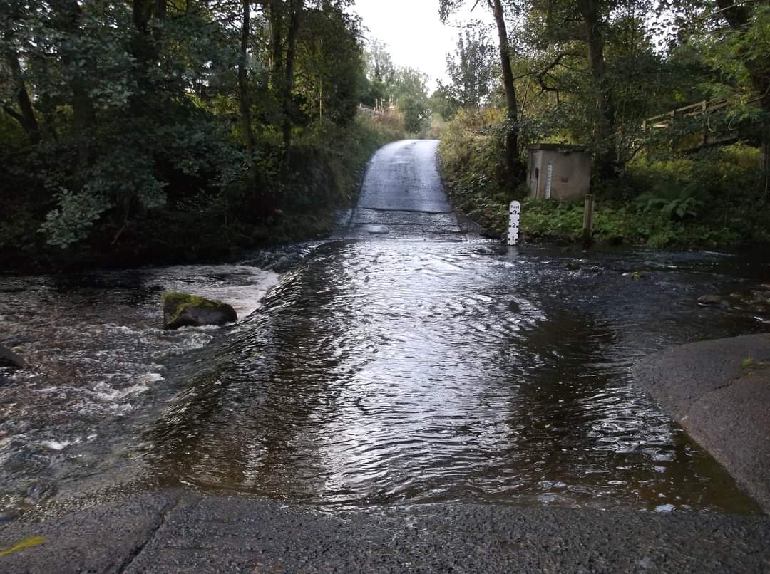
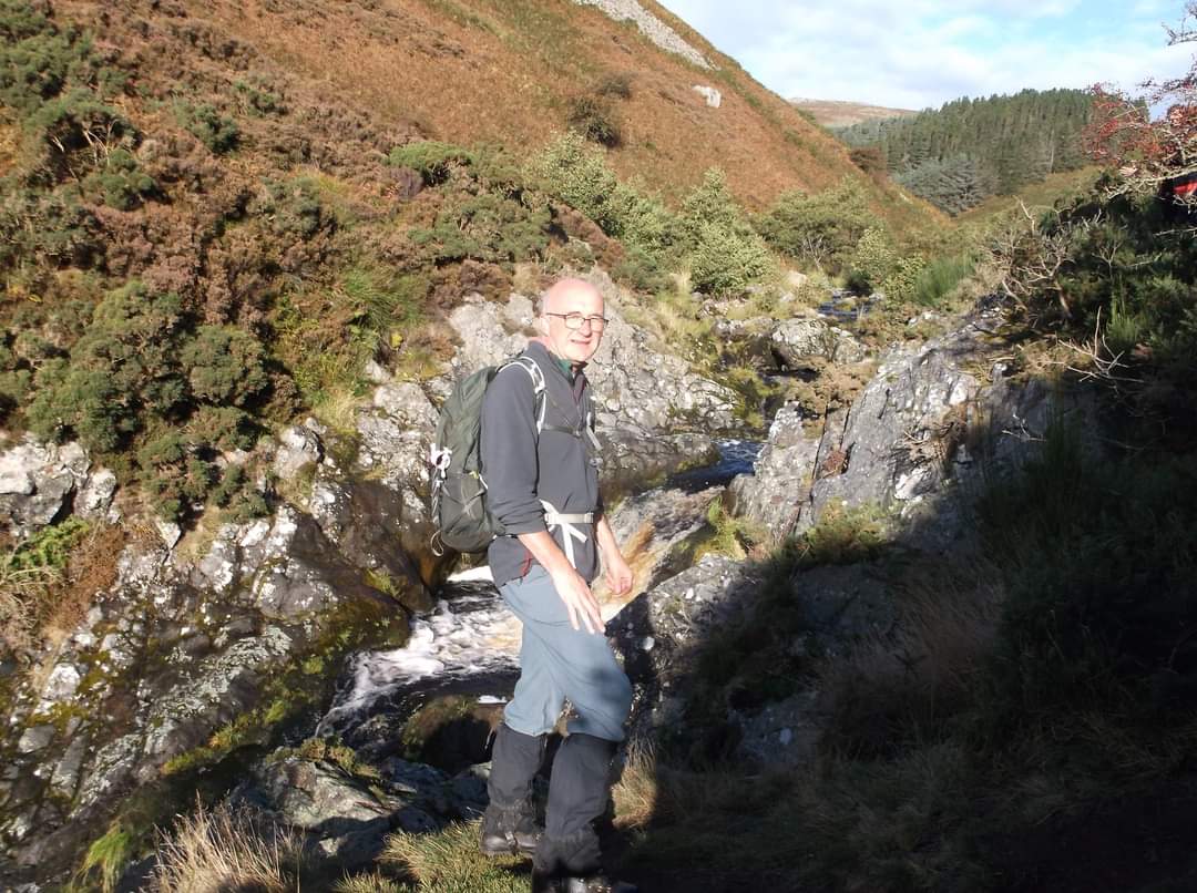
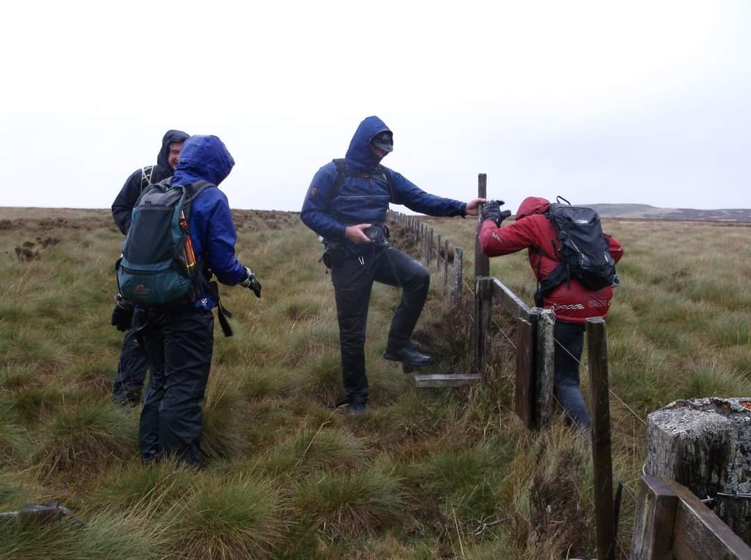
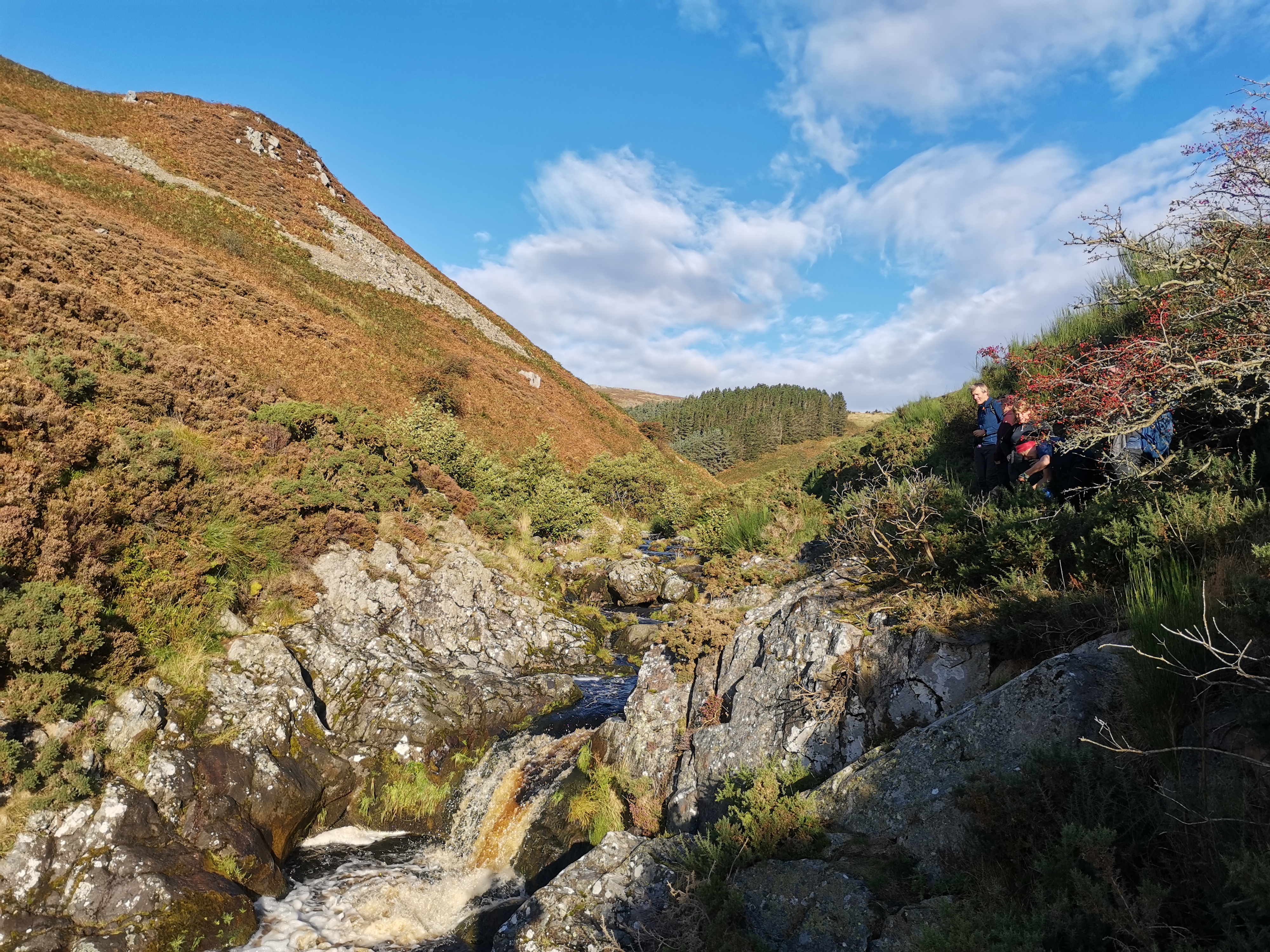
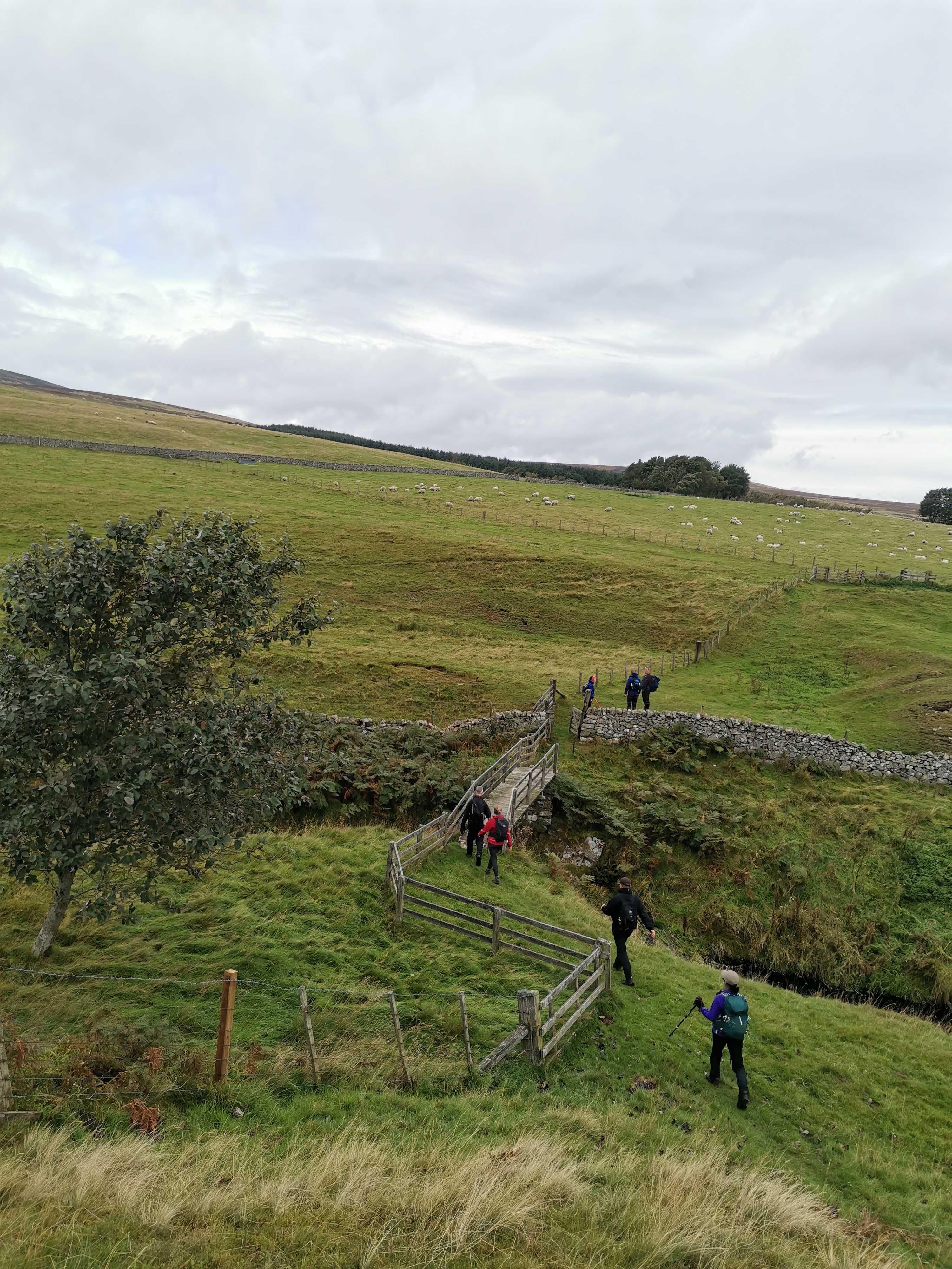
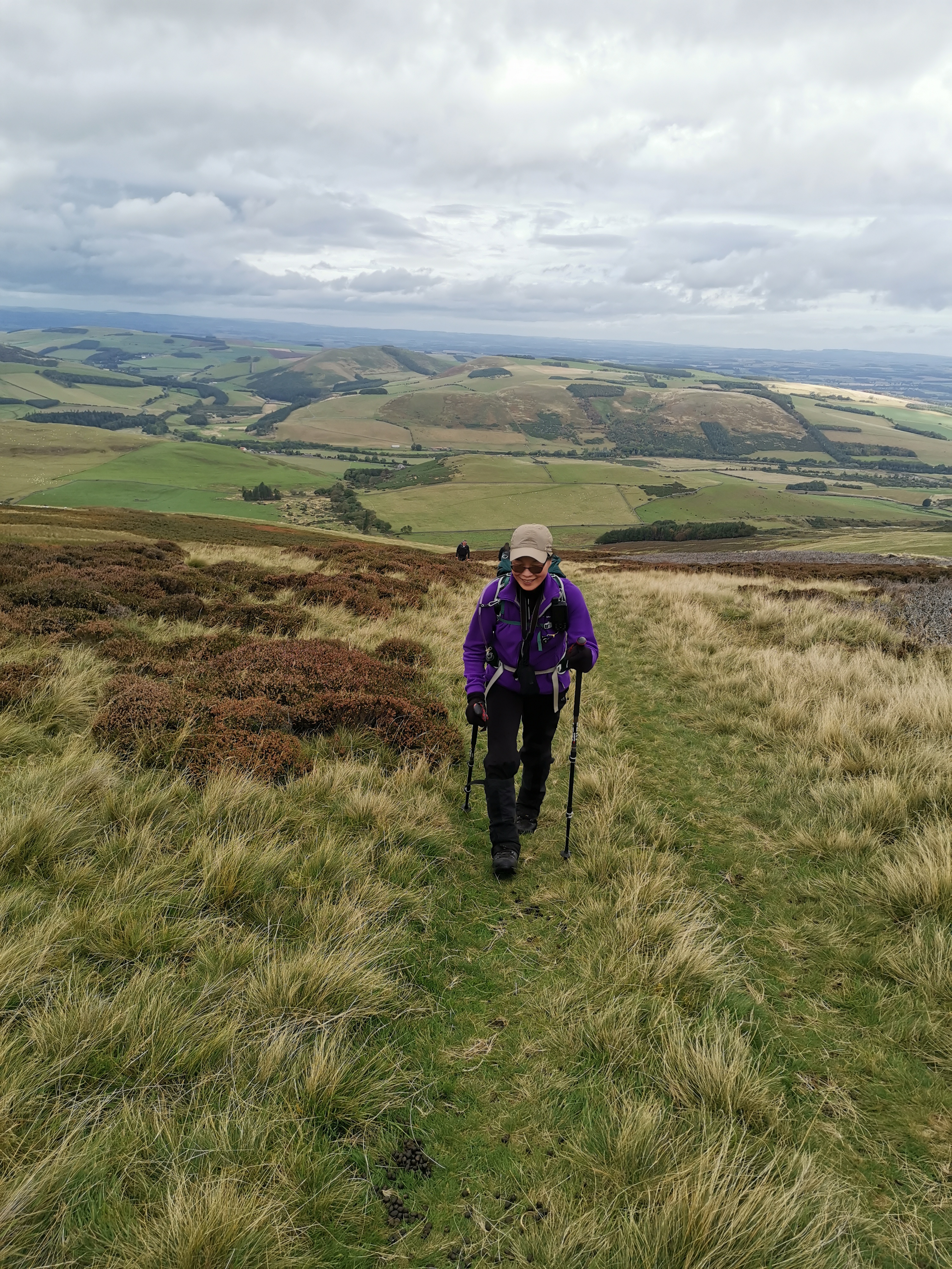
Led by Chris and Jo Squires-Parkin. 8 walkers. Middleton Hall car park, getting to the walk there is the ford at Coldgate Mill to contend with if approaching along the minor road from the south, it was fine today after the recent dry weather, but in wet weather a detour via Wooler is advisable. Happy Valley - Carey Burn Bridge - Broadstrother shooting lodge - Commonburn house - join St Cuthberts way near to Tom Tallon's Crag for a short distance - Easter Tor - Wester Tor. Weather then changed from pleasant to wind and rain. As forecast was for this poor weather to stay, slightly shortened the walk to stay at lower elevations. Hare law - instead of going down to Lambden Burn, then Goldscleugh, then Broadhope and Cold law which was the original plan - path back to Commonburn House - track past Bell's Valley - briefly on St Cuthberts Way again to Wooler Common - Earle - return to Middleton Hall Car park. Distance, 19 miles, ascent 1013 metres, time taken 7.5 hours.Other Files
GPX
A GPX file of the above route may be downloaded by clicking the link below.
Note: GPX files of Group Walks are created by LDWA Group members, and may be downloaded only by other LDWA members. They should not be made available outside the LDWA, and are used at members' own risk.
Login to Download (Members Only)You can use the interactive controls to zoom in and out and to move around the map, or click on a path or a marker for more info. (interactive map help)
You can use the interactive controls to zoom in and out and to move around the map, or click on a path or a marker for more info. (interactive map help)
© OpenStreetMap contributors under Open Database Licence
Rights of way data from selected Local Authorities
Large scale digital mapping is provided by John Thorn
At high zoom levels the route is indicative only.
Gallery
Maps:
You can use the interactive controls to zoom in and out and to move around the map, or click on a marker for more info. (interactive map help)
© OpenStreetMap contributors under Open Database Licence.
Rights of way data from selected Local Authorities.
Large scale digital mapping is provided by John Thorn.


