
Kilburn Kanter Anytime Challenge
Sat 16th Oct 2021
Walk Details:
The Classic Kilburn Kanter Route done as a group social walk. Beautiful walk in the Hambleton Hills, 24 miles with 3,500 feet of ascent. The aim of the challenge is to complete in 10 hours. This is the link to the page on the North Yorkshire website explaining the challenge and the route, https://ldwa.org.uk/NorthYorkshire/W/1122/kilburn-kanter-anytime-challenge.html
Just to reiterate that we will do this as a group social walk. The walk will be unsupported, so please bring your own food and drink and equipment for the full day. You can just turn up on the day and do the walk as per usual group social walks. You have the choice of also registering on SI Entries, https://www.sientries.co.uk/ , for the Kilburn Kanter anytime challenge, 5 pounds gets a badge and a certificate for completion.
Dogs welcome on leads.
Although it is unlikely that we will be finishing in the dark, please bring a torch just in case.
Entry Details:
Walk Report
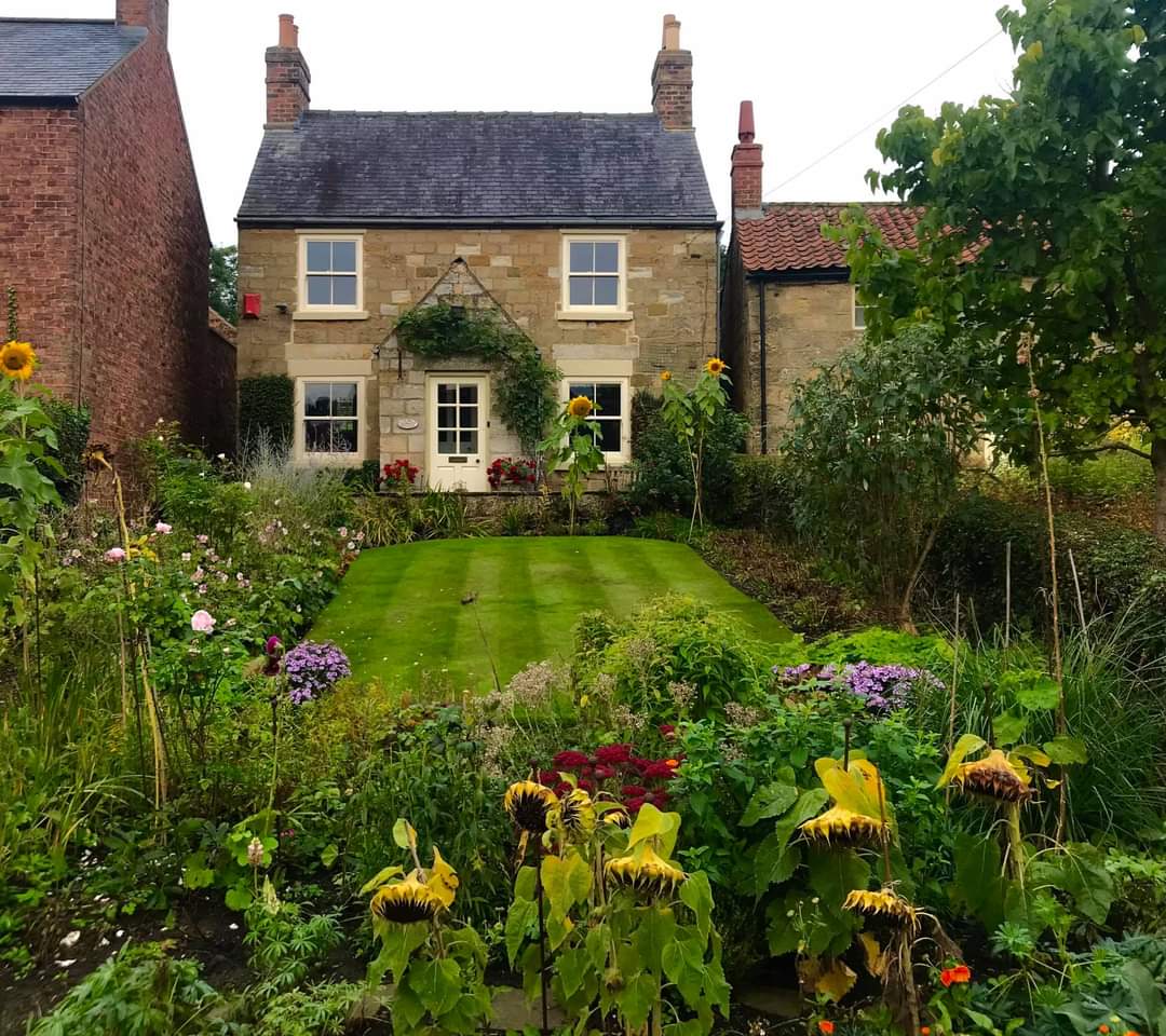
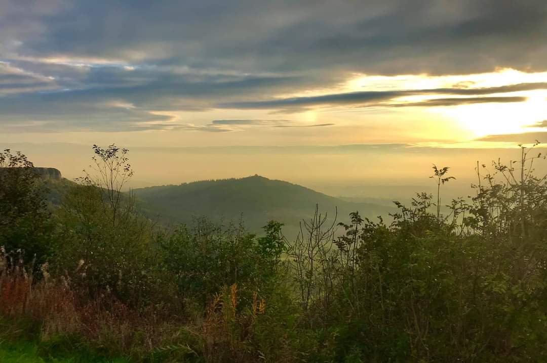
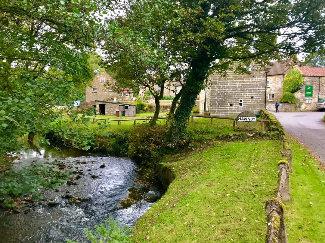
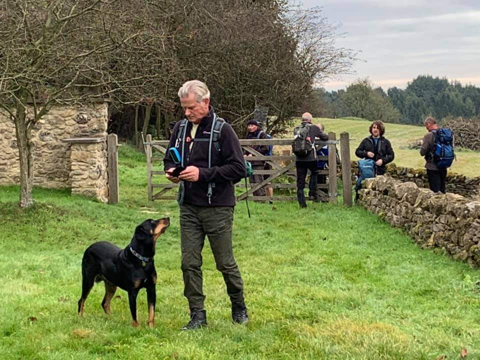
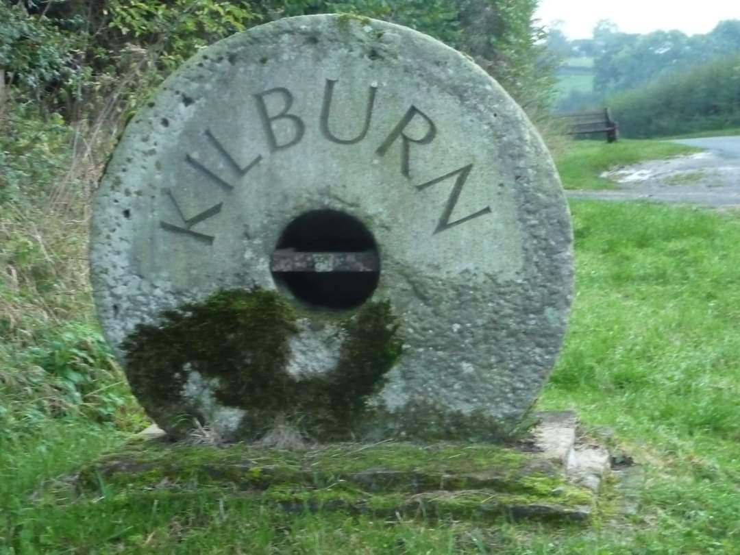
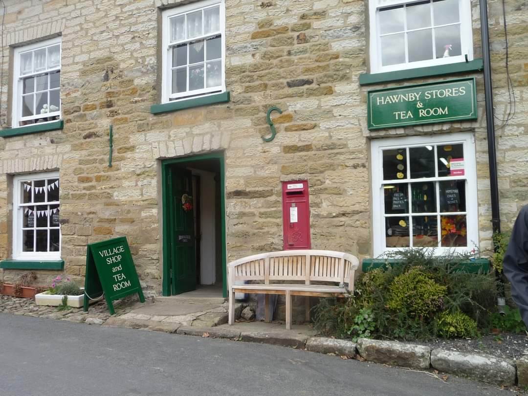
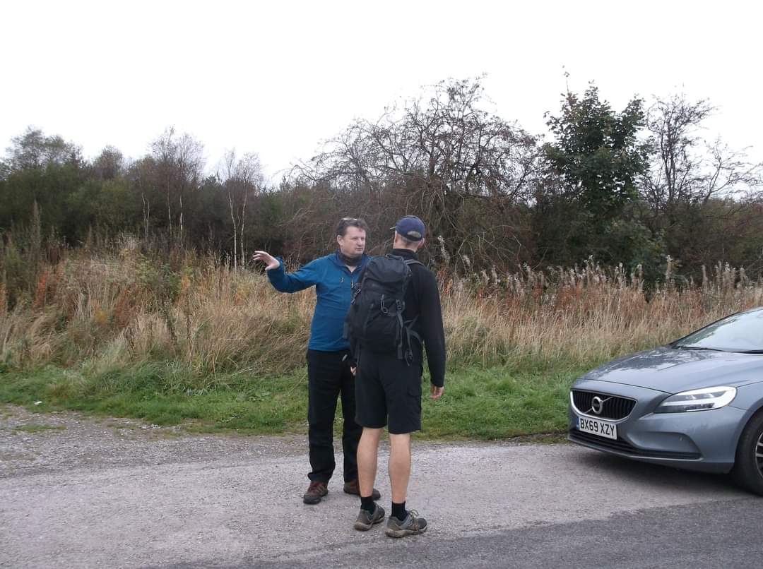
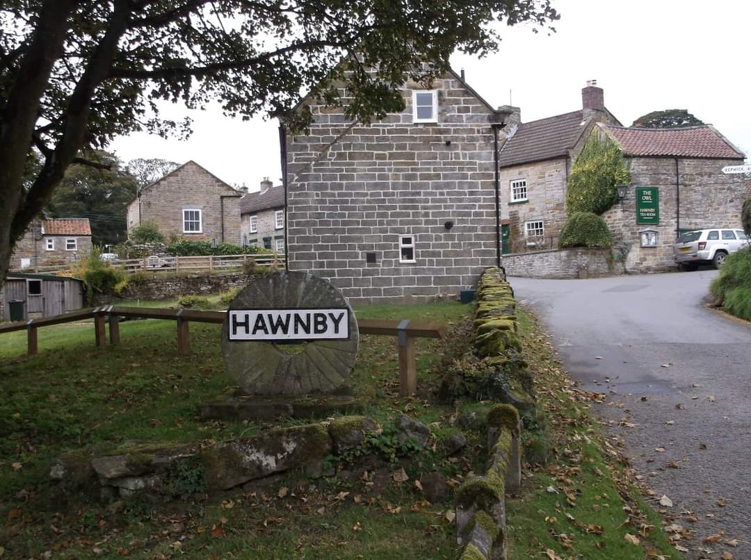
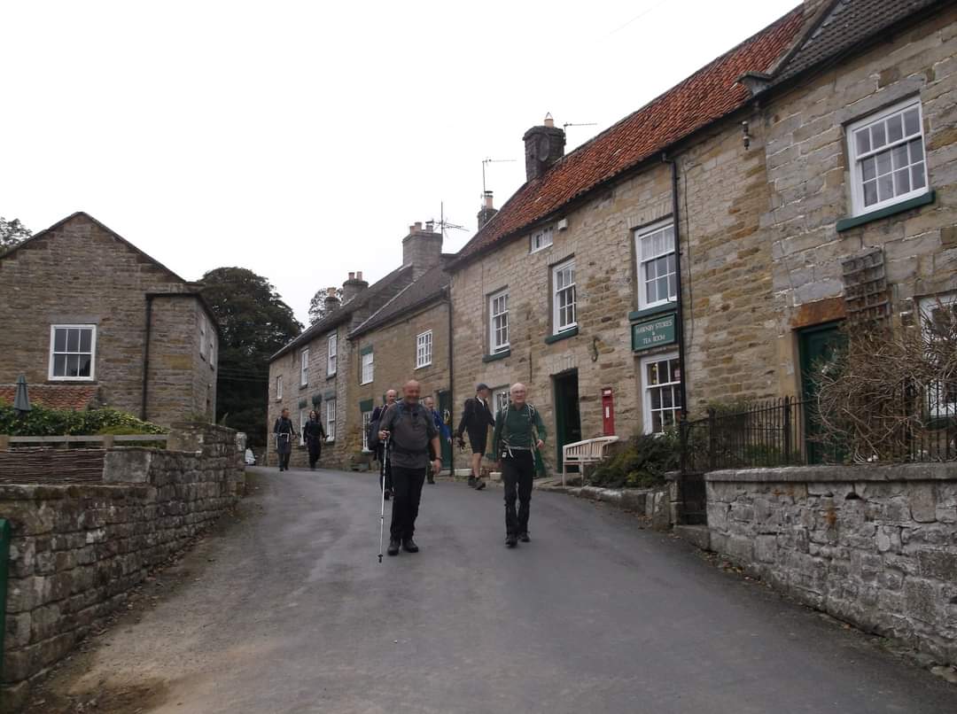
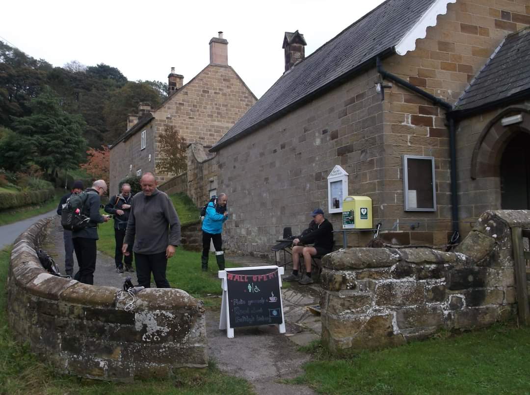
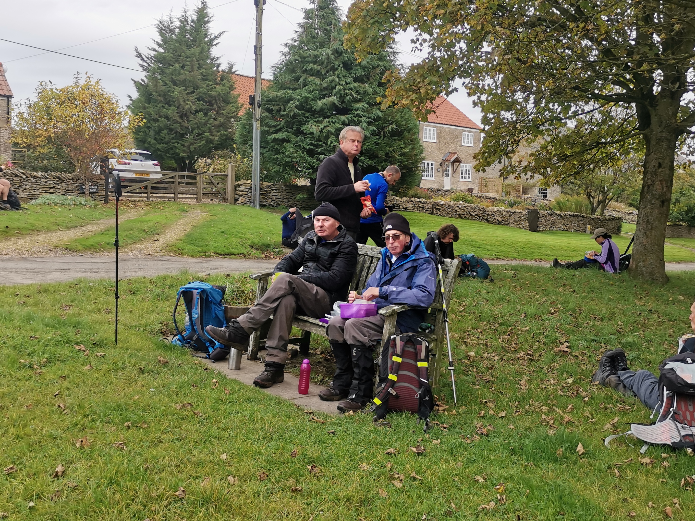
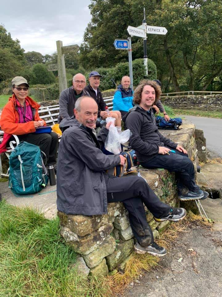
The Great Escape ( pheasants/ grouse/ beaters) We all set off from Kilburn village hall on a fresh morning, but it soon turned warm and sticky. Eight of us mooched about and had a neb at the manicured gardens with a twinge of envy , as we walked through villages and hamlets on this picturesque challenge walk. There was nearly four thousand feet of ascent over twenty four miles. So enough moments to realise we aren't getting any younger. Lunch was just over half way in the village of Hawnby with a varied selection of food from pork pies to peanuts extracted from rucksacks, plus the odd wave from passing motorists The beaters where out flag waving through the turnip fields on the tops and loud cheers went up as pheasants and grouse flew to safety. The sting on the tail was the ascent from Gormire lake, up through the woods to the top of Sutton Bank as grown men sweated like they'd lost a wallet! Liyang decided to return to her spiritual home of Tang Hall and was lost off the back of the group for a while, but was eventually refound without causing any more panic in the ranks. We eventually descended by the famous Kilburn horse and a well deserved pint in the Forresters. Paul AshmanOther Files
Download Walk ReportGPX
A GPX file of the above route may be downloaded by clicking the link below.
Note: GPX files of Group Walks are created by LDWA Group members, and may be downloaded only by other LDWA members. They should not be made available outside the LDWA, and are used at members' own risk.
Login to Download (Members Only)You can use the interactive controls to zoom in and out and to move around the map, or click on a path or a marker for more info. (interactive map help)
You can use the interactive controls to zoom in and out and to move around the map, or click on a path or a marker for more info. (interactive map help)
© OpenStreetMap contributors under Open Database Licence
Rights of way data from selected Local Authorities
Large scale digital mapping is provided by John Thorn
At high zoom levels the route is indicative only.
Gallery
Maps:
You can use the interactive controls to zoom in and out and to move around the map, or click on a marker for more info. (interactive map help)
© OpenStreetMap contributors under Open Database Licence.
Rights of way data from selected Local Authorities.
Large scale digital mapping is provided by John Thorn.


