


New Year in Sussex
Wed 1st Jan 2020
Walk Details:
Event Details Updated
Route shortened to avoid excessive mud.
Event Type
Group Walk
Region
Southern England
Local Group
Kent
Distance
21.5ml.
Start Time
09.00
Route
Rye railway station c.p. £1.50 charge
Circular from Rye
General Notes
Lunch stop at Pett. Bring torch
Web Site
Start and Finish
Entry Details:
Cost
Walk Report
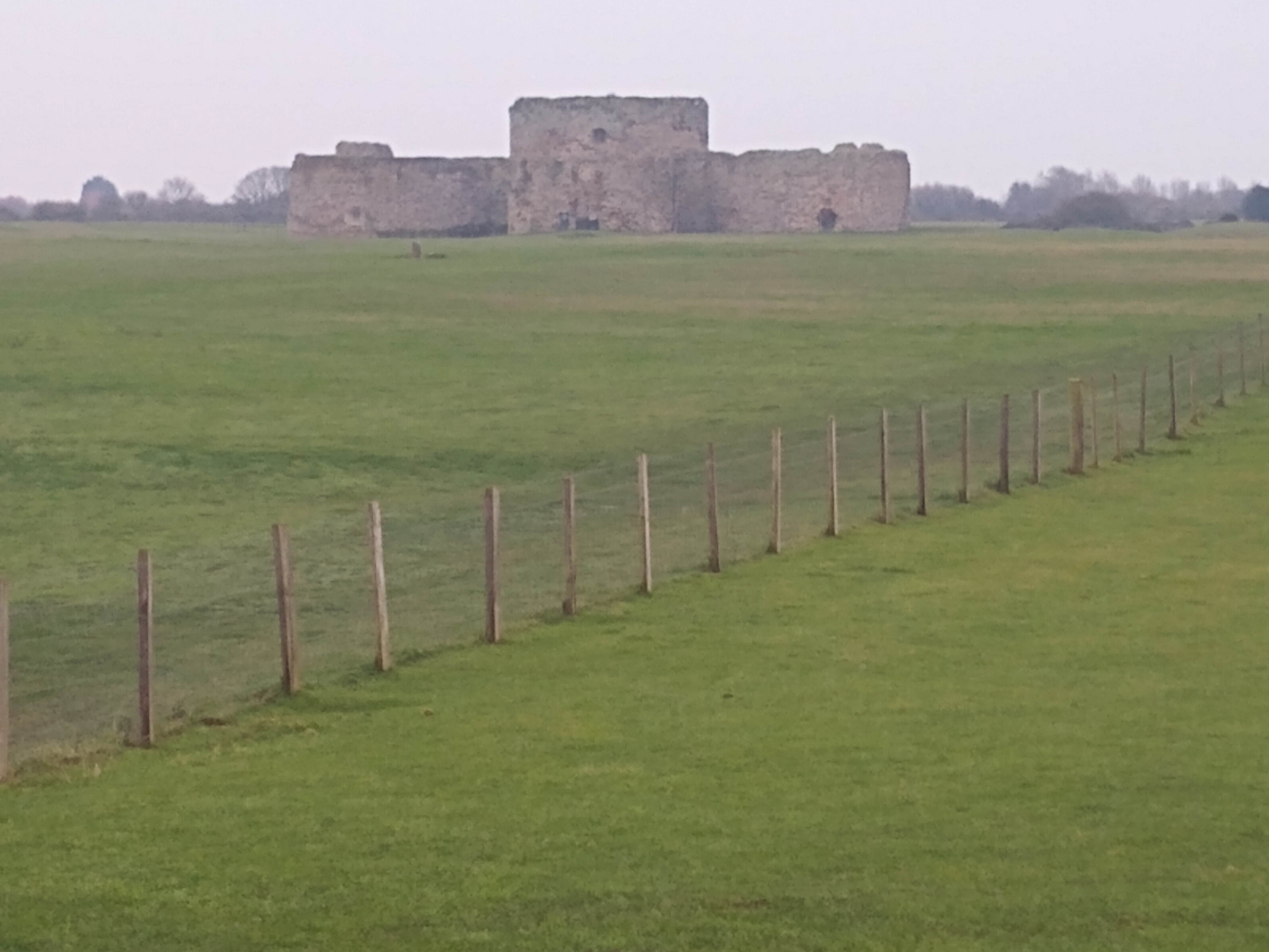
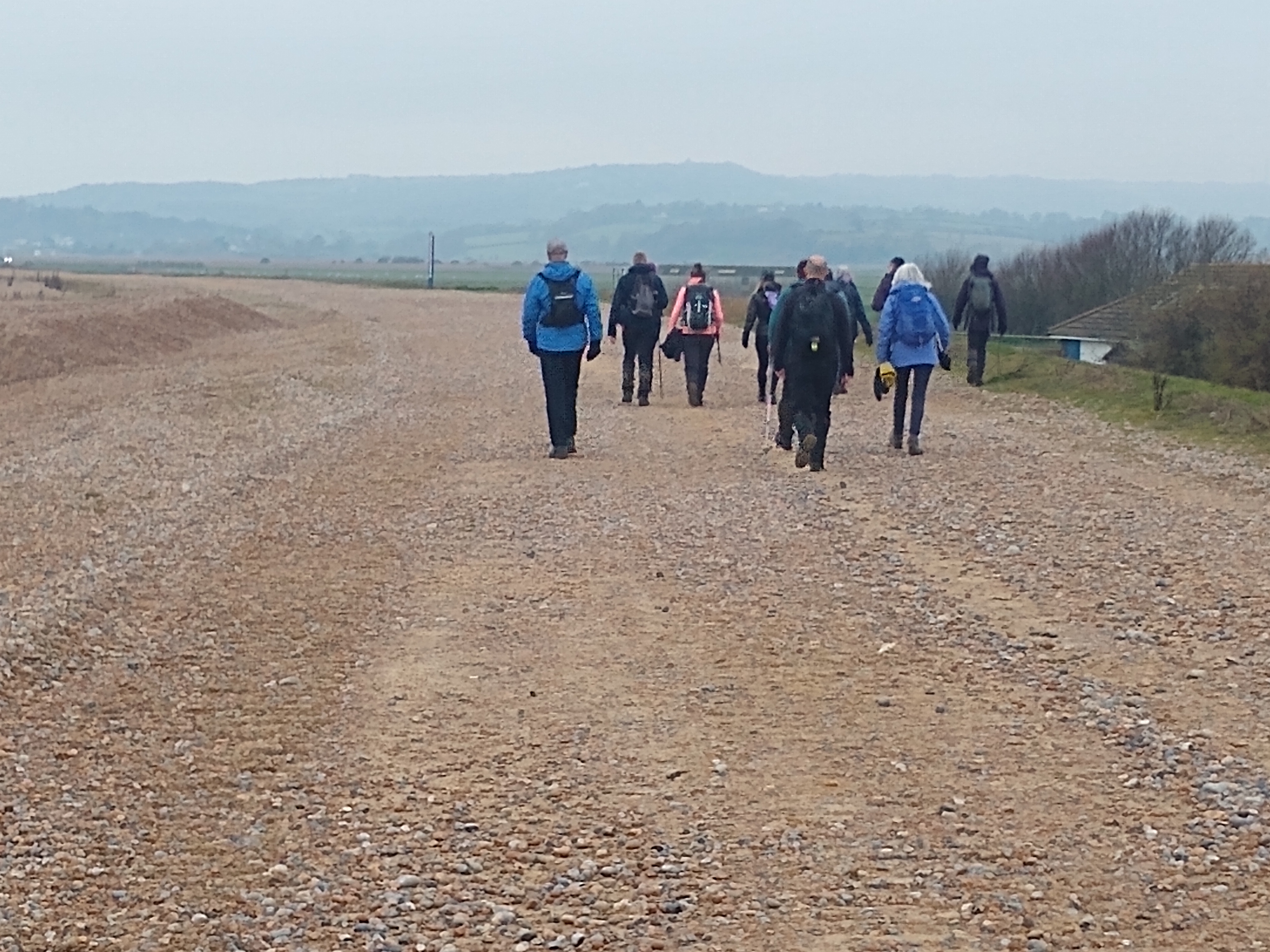
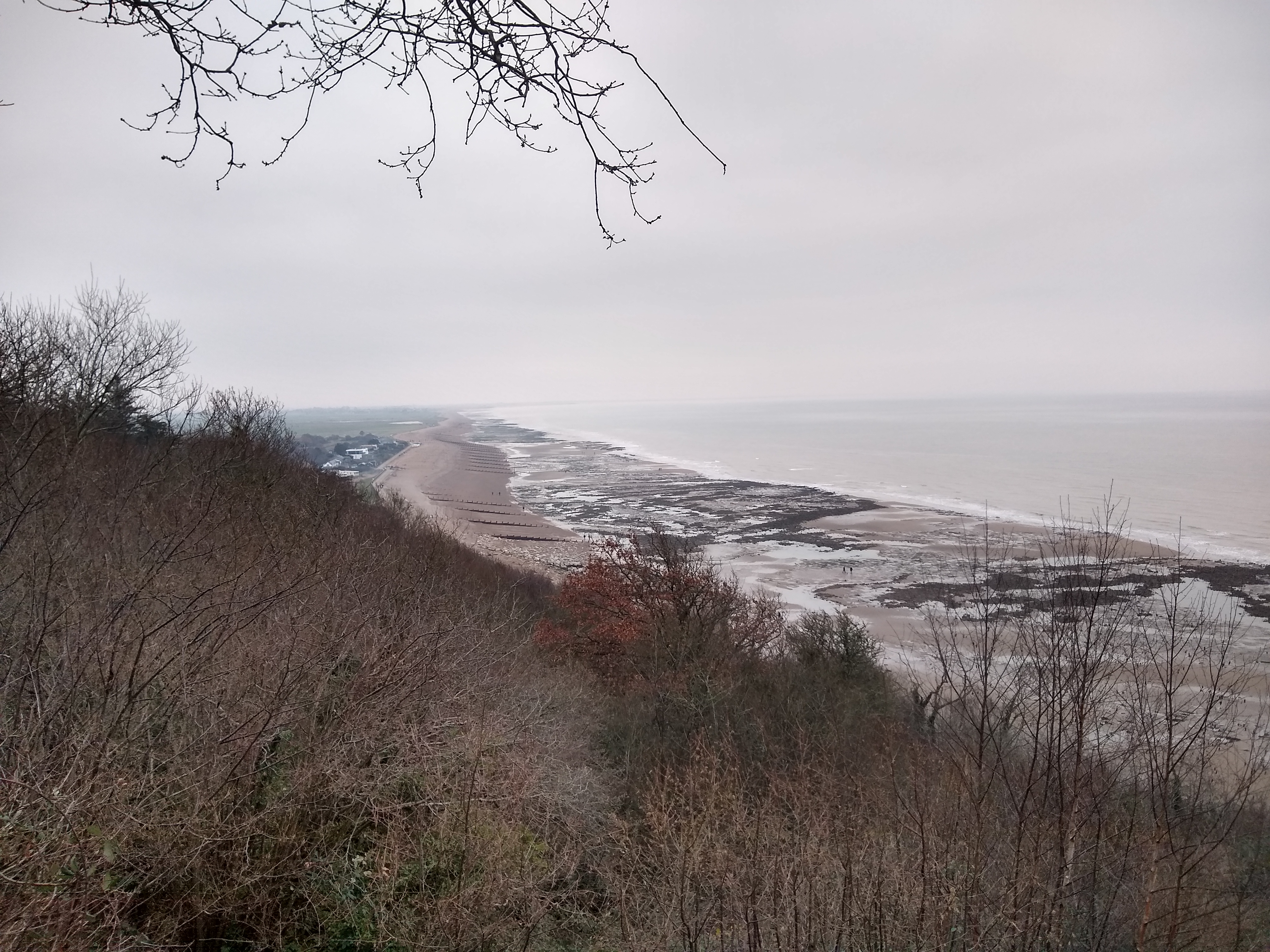
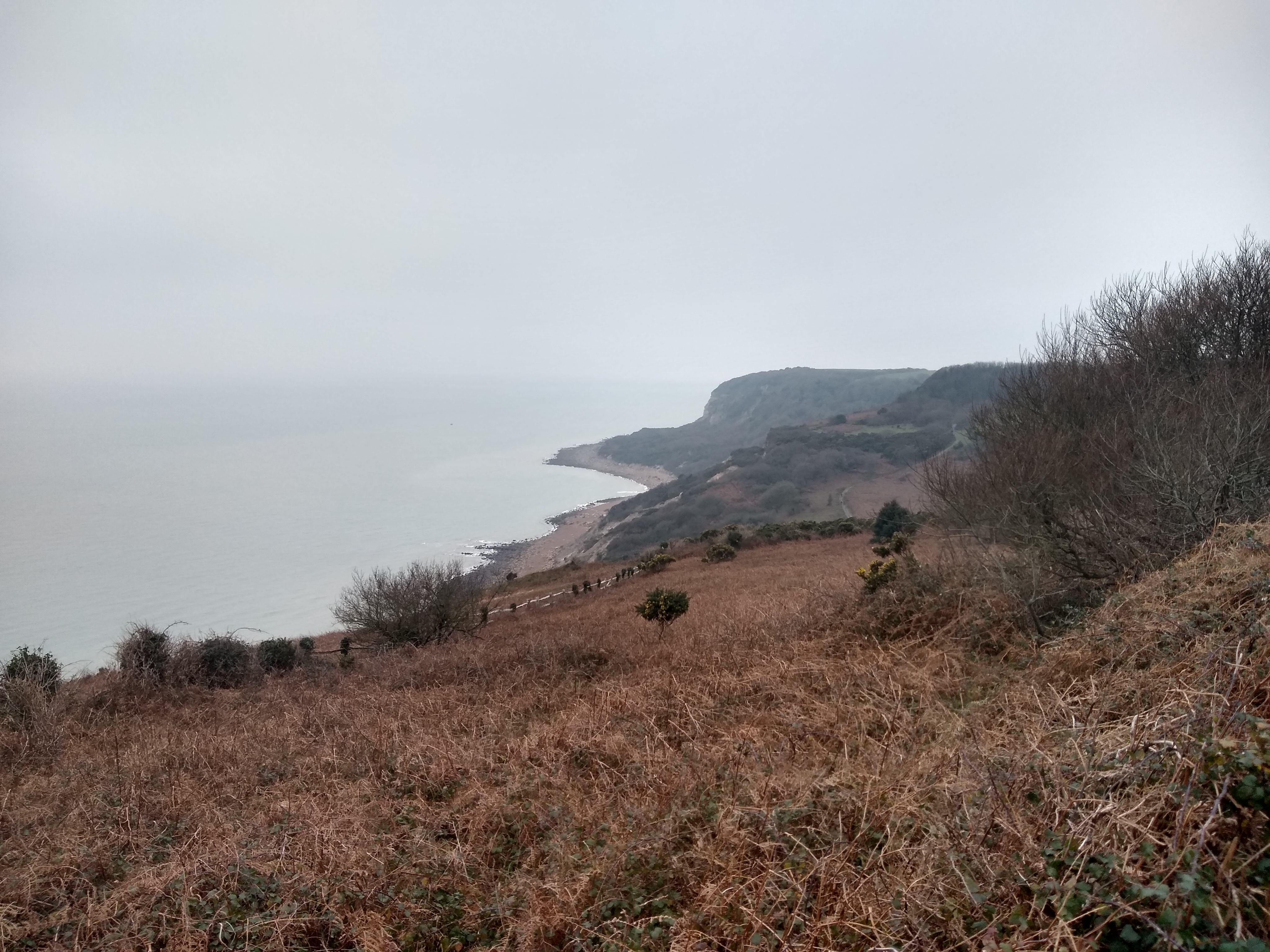
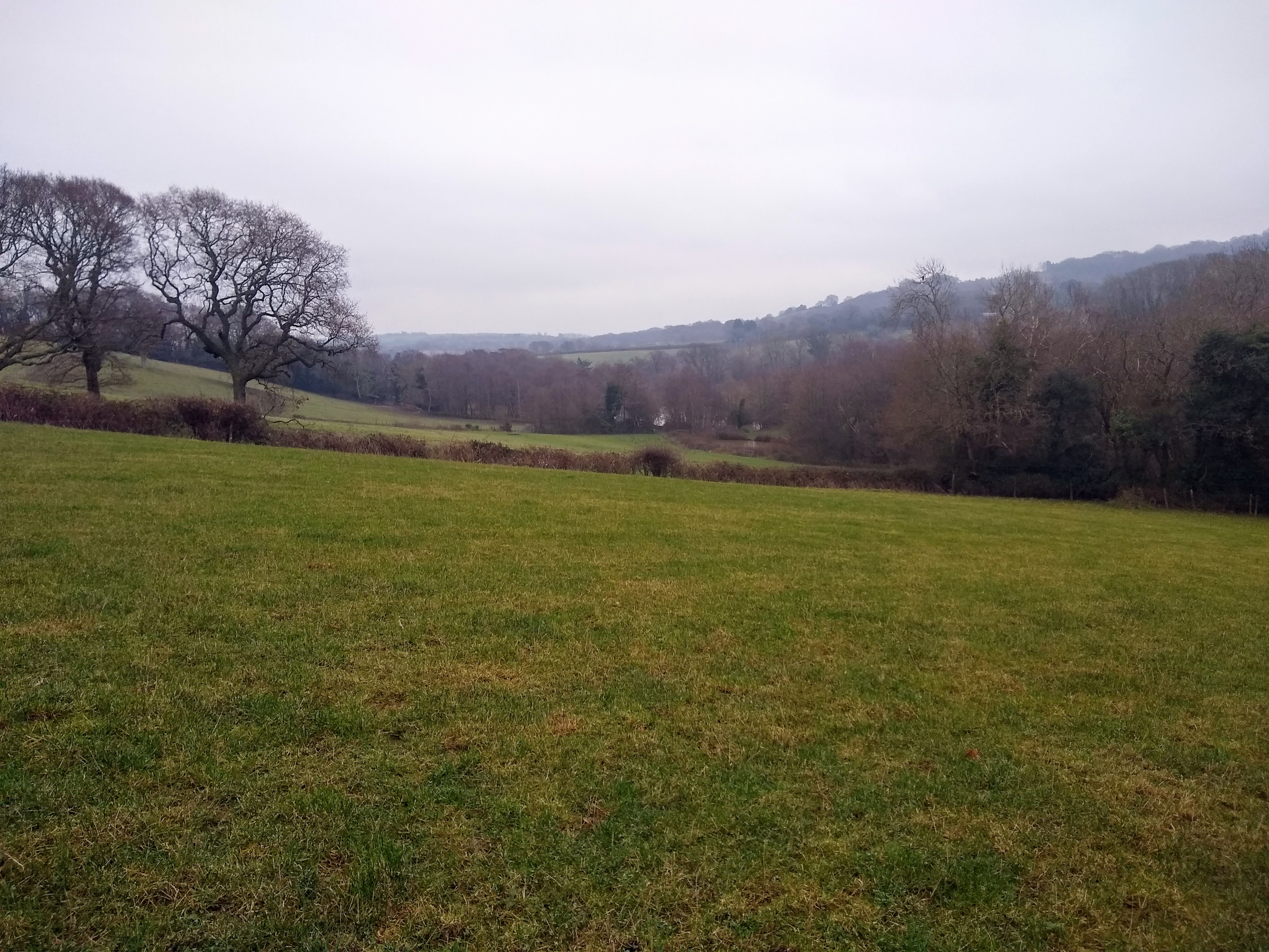
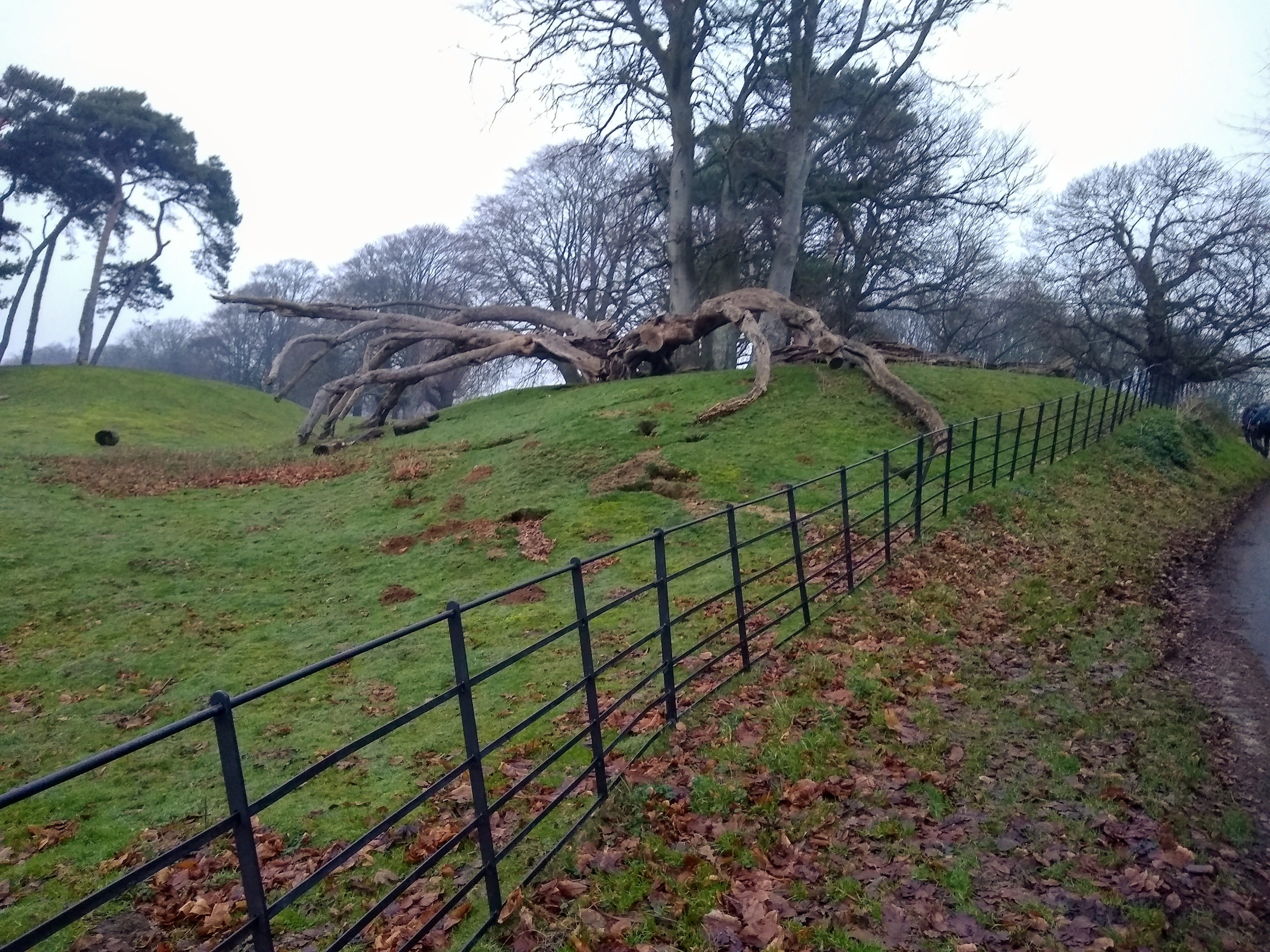
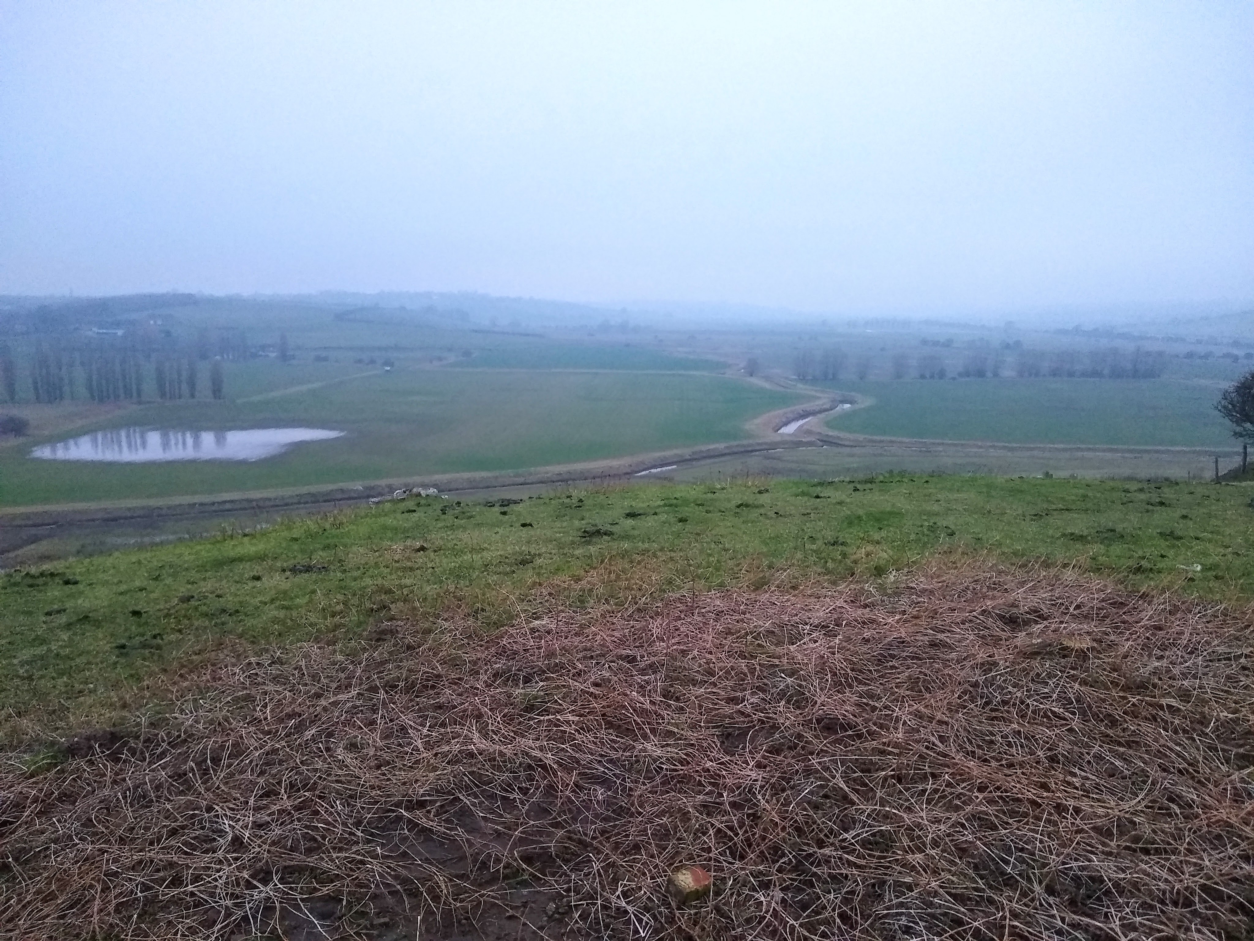
This is a clockwise route which starts at Rye Station and heads southwards to reach the coast, passing Camber Castle on the way. It then follows the coast, coinciding with the Saxon Shore Way. The walk then moves inland and climbs to continue parallel to the coast but on the higher ground, eventually reaching and passing through Hastings Country Park. The route then heads northwards and inland, before swinging north east to reach the village of Pett. It then continues alongside part of the Royal Military Canal. The walk then heads back through Winchelsea before returning to Rye.Other Files
GPX
A GPX file of the above route may be downloaded by clicking the link below.
Note: GPX files of Group Walks are created by LDWA Group members, and may be downloaded only by other LDWA members. They should not be made available outside the LDWA, and are used at members' own risk.
Login to Download (Members Only)You can use the interactive controls to zoom in and out and to move around the map, or click on a path or a marker for more info. (interactive map help)
You can use the interactive controls to zoom in and out and to move around the map, or click on a path or a marker for more info. (interactive map help)
Contains Ordnance Survey data © Crown copyright and database right 2016.
© OpenStreetMap contributors under Open Database Licence
Rights of way data from selected Local Authorities
Large scale digital mapping is provided by John Thorn
At high zoom levels the route is indicative only.
© OpenStreetMap contributors under Open Database Licence
Rights of way data from selected Local Authorities
Large scale digital mapping is provided by John Thorn
At high zoom levels the route is indicative only.
Gallery
Maps:
You can use the interactive controls to zoom in and out and to move around the map, or click on a marker for more info. (interactive map help)
Contains Ordnance Survey data © Crown copyright and database right 2016.
© OpenStreetMap contributors under Open Database Licence.
Rights of way data from selected Local Authorities.
Large scale digital mapping is provided by John Thorn.
© OpenStreetMap contributors under Open Database Licence.
Rights of way data from selected Local Authorities.
Large scale digital mapping is provided by John Thorn.


