


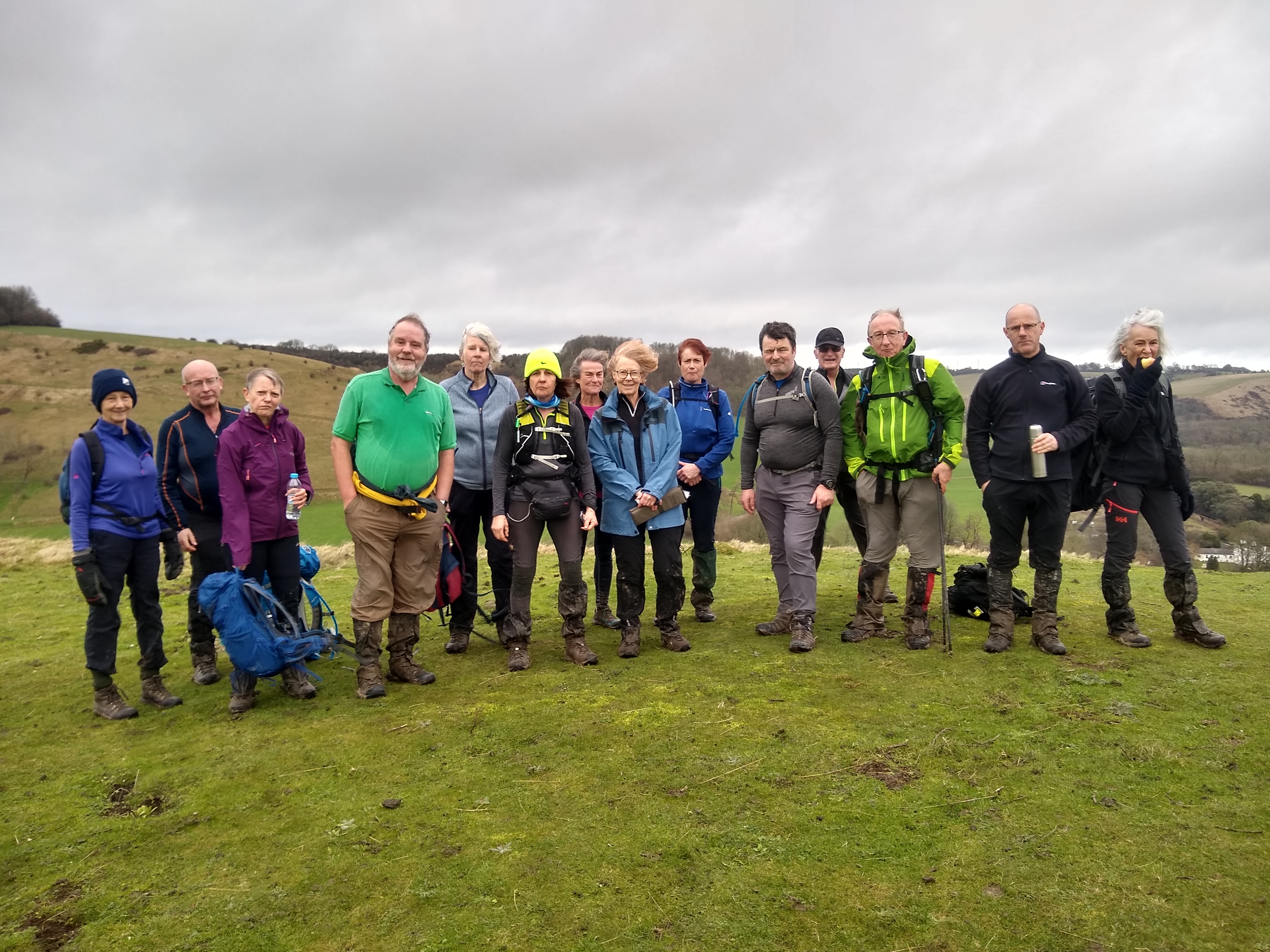
Summerhouse Stroll
Sun 2nd Feb 2020
Walk Details:
Event Type
Group Walk
Region
Southern England
Local Group
Kent
Distance
19ml.
Start Time
9:00
Route
Lympne village hall - park at end away from hall
General Notes
Lunch stop at Stowting. C: . T: . E:
Web Site
Start and Finish
Entry Details:
Cost
Walk Report
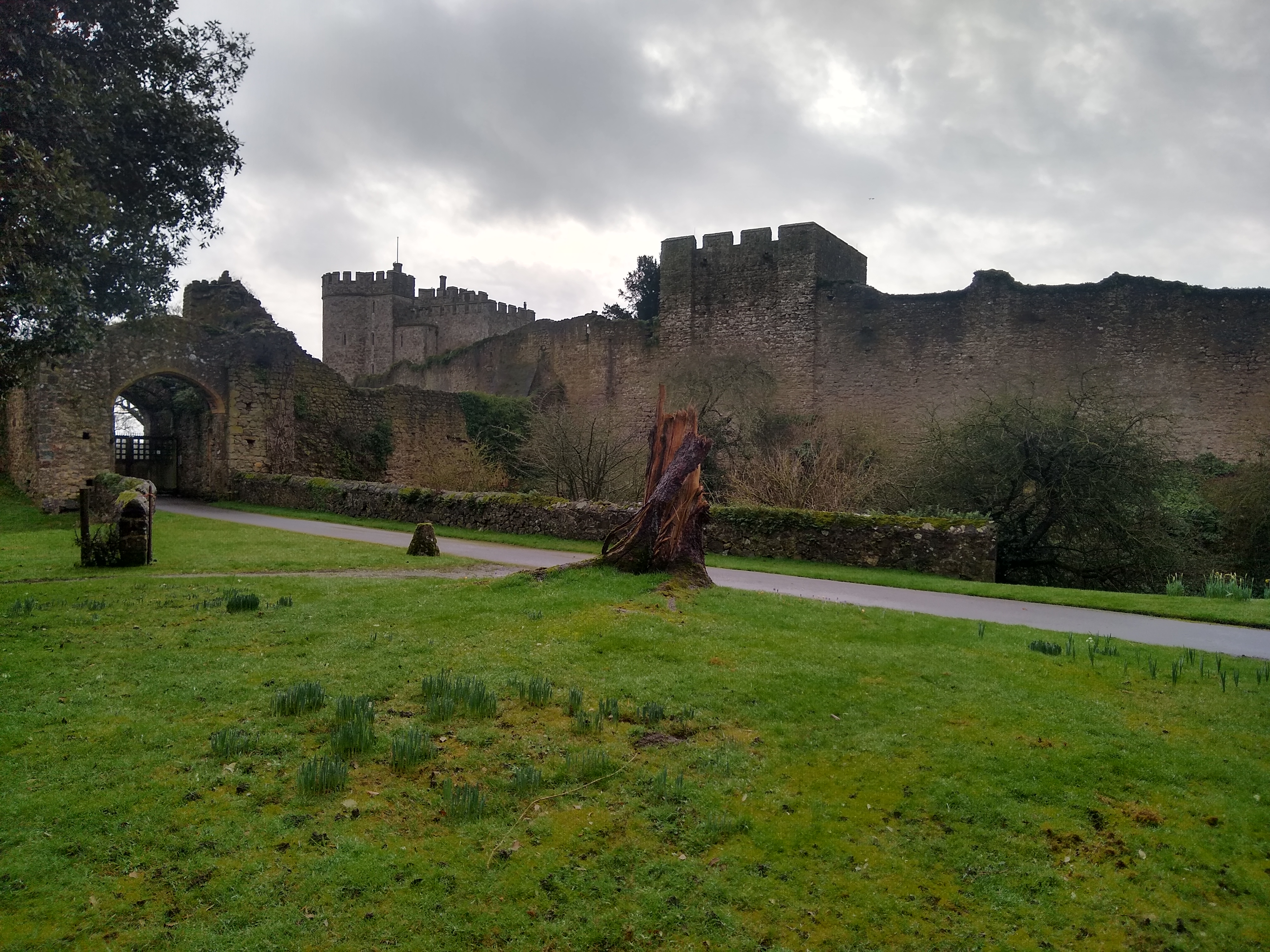
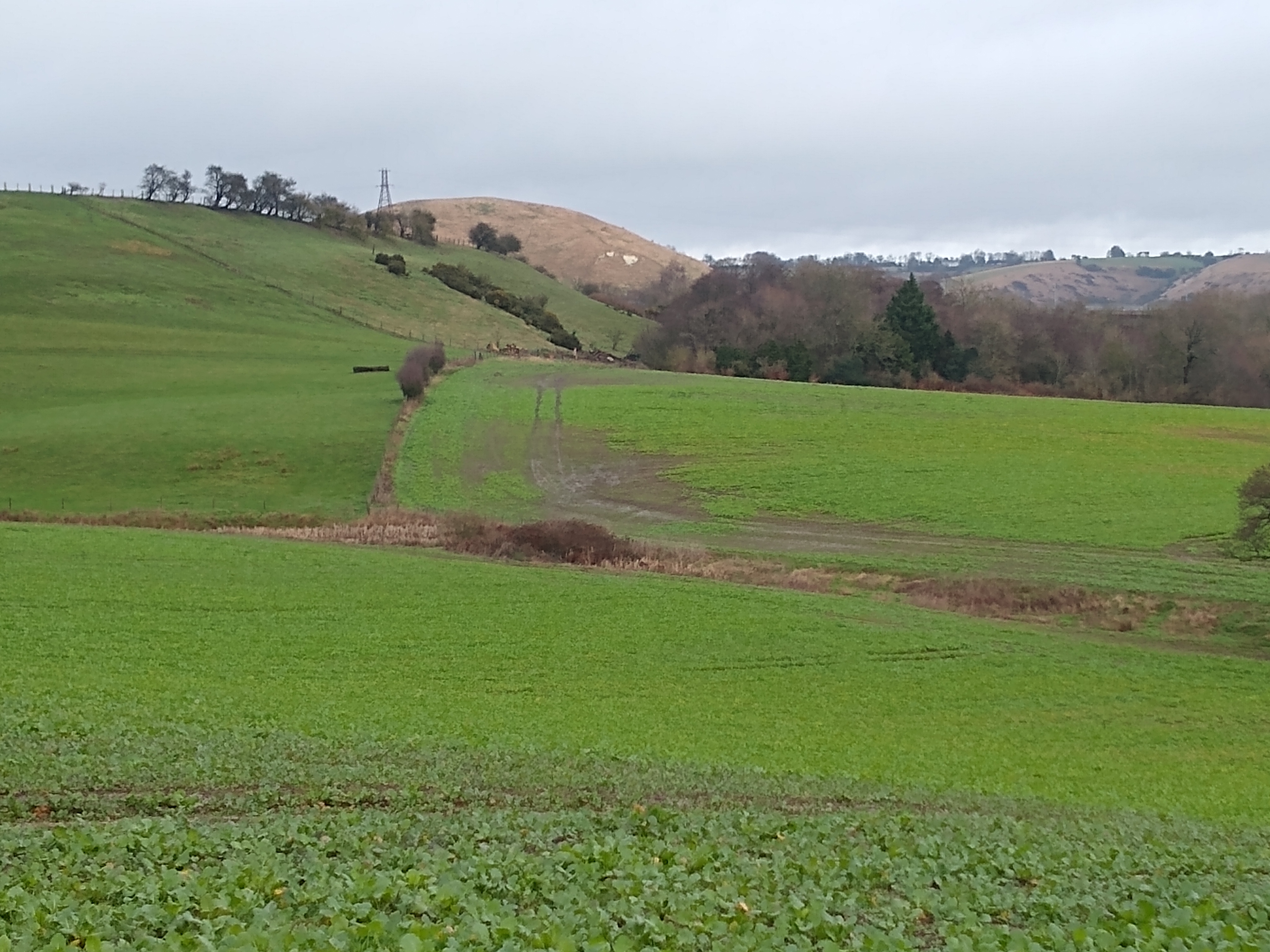
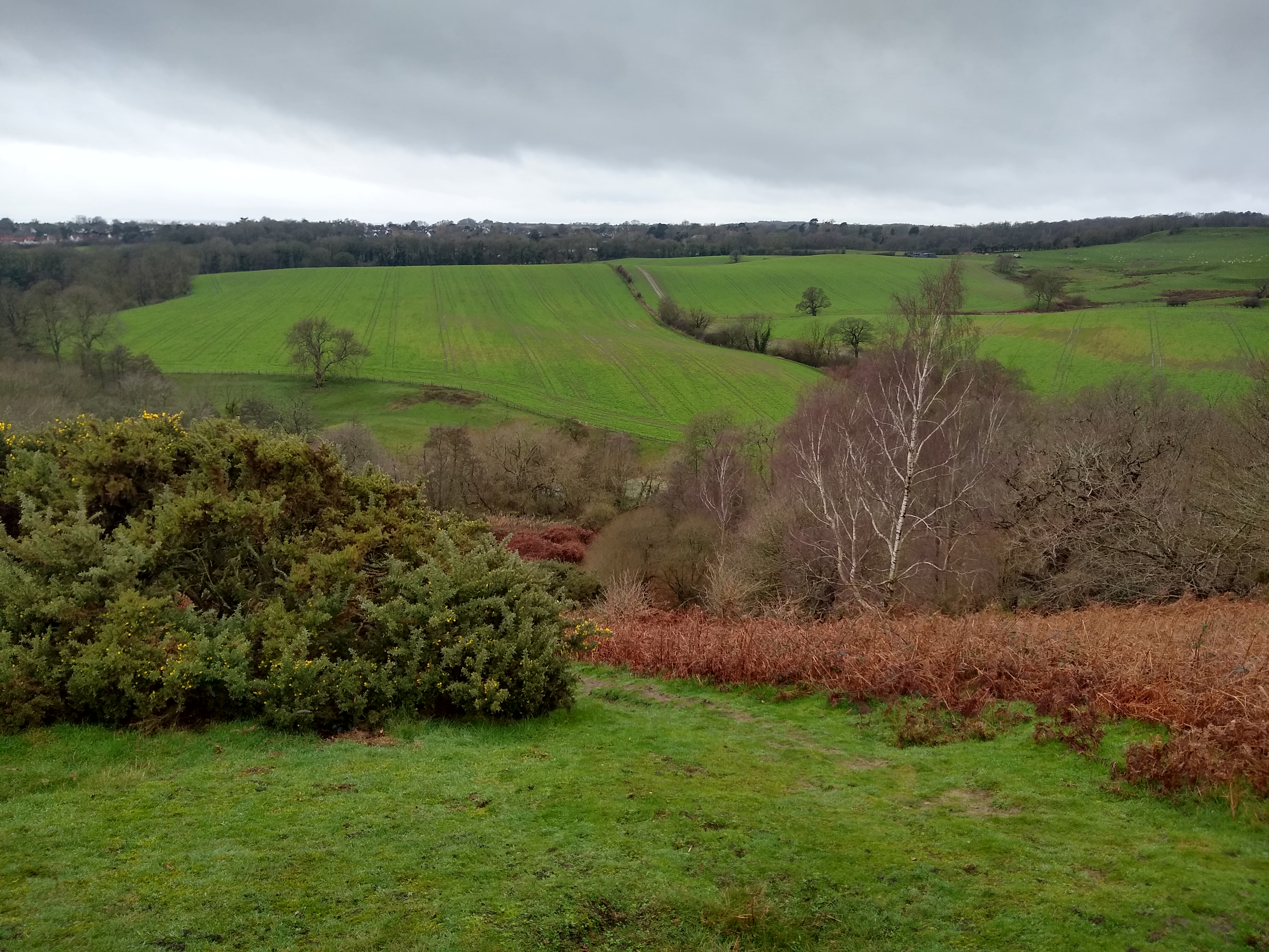
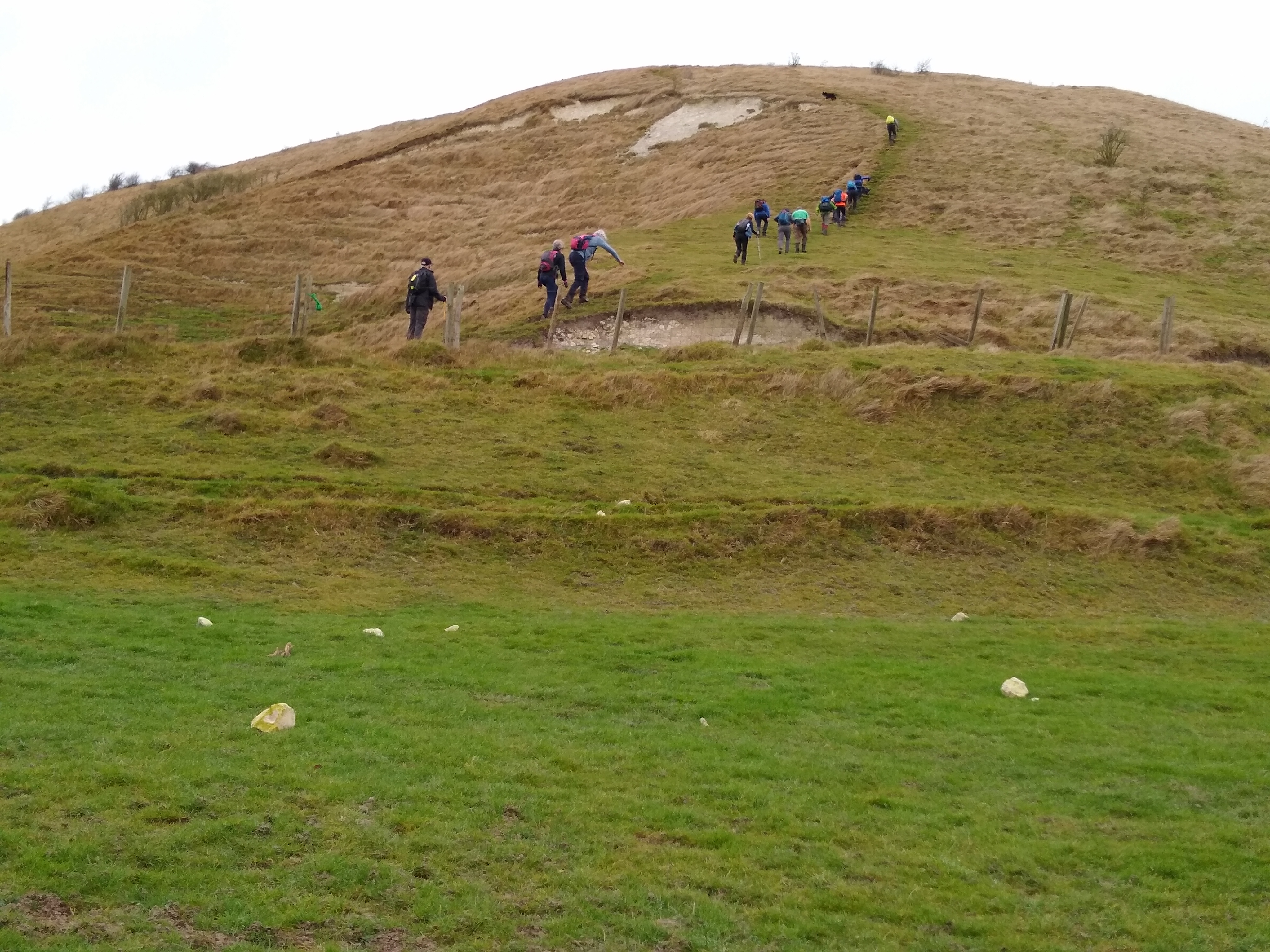
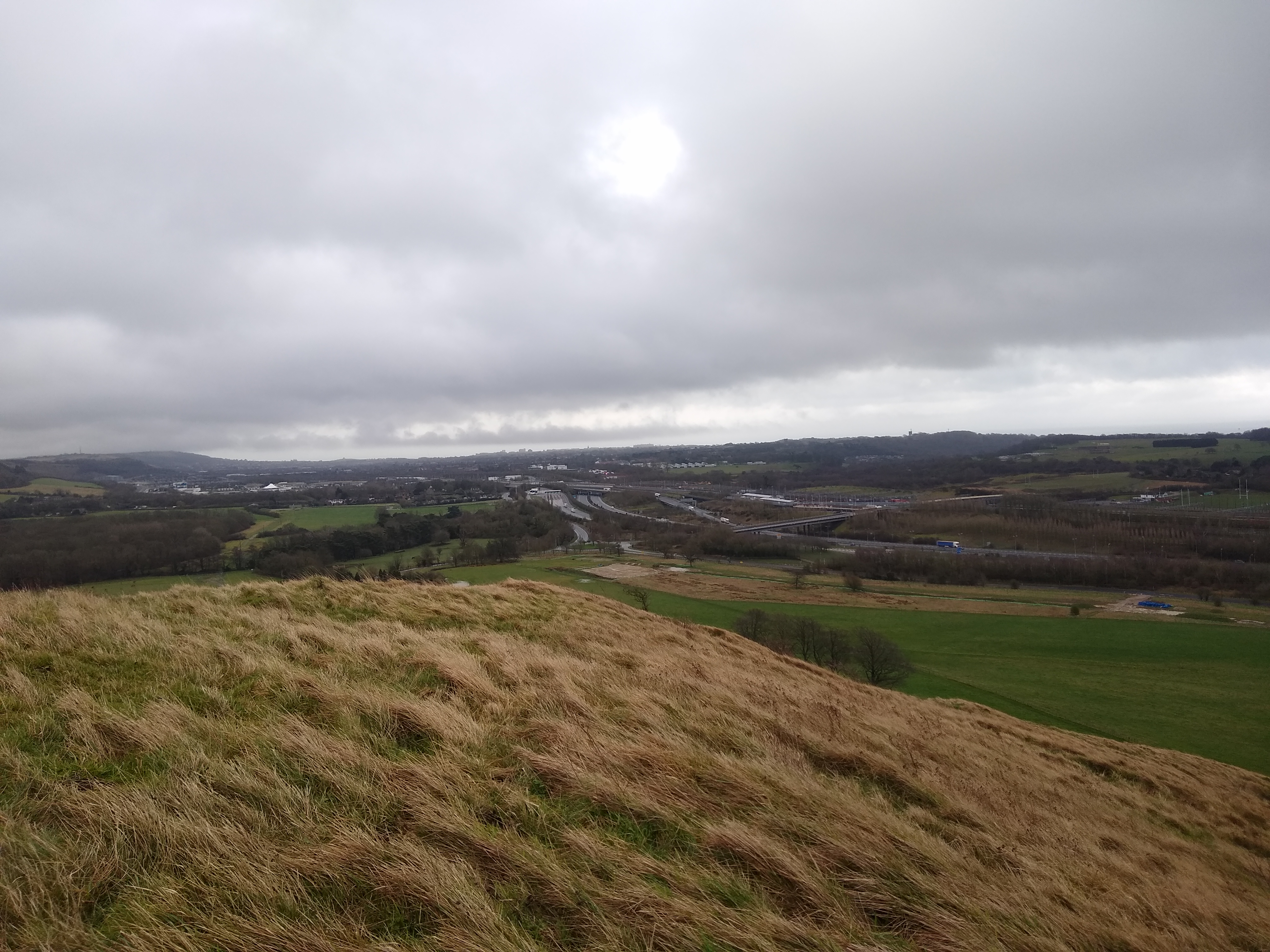
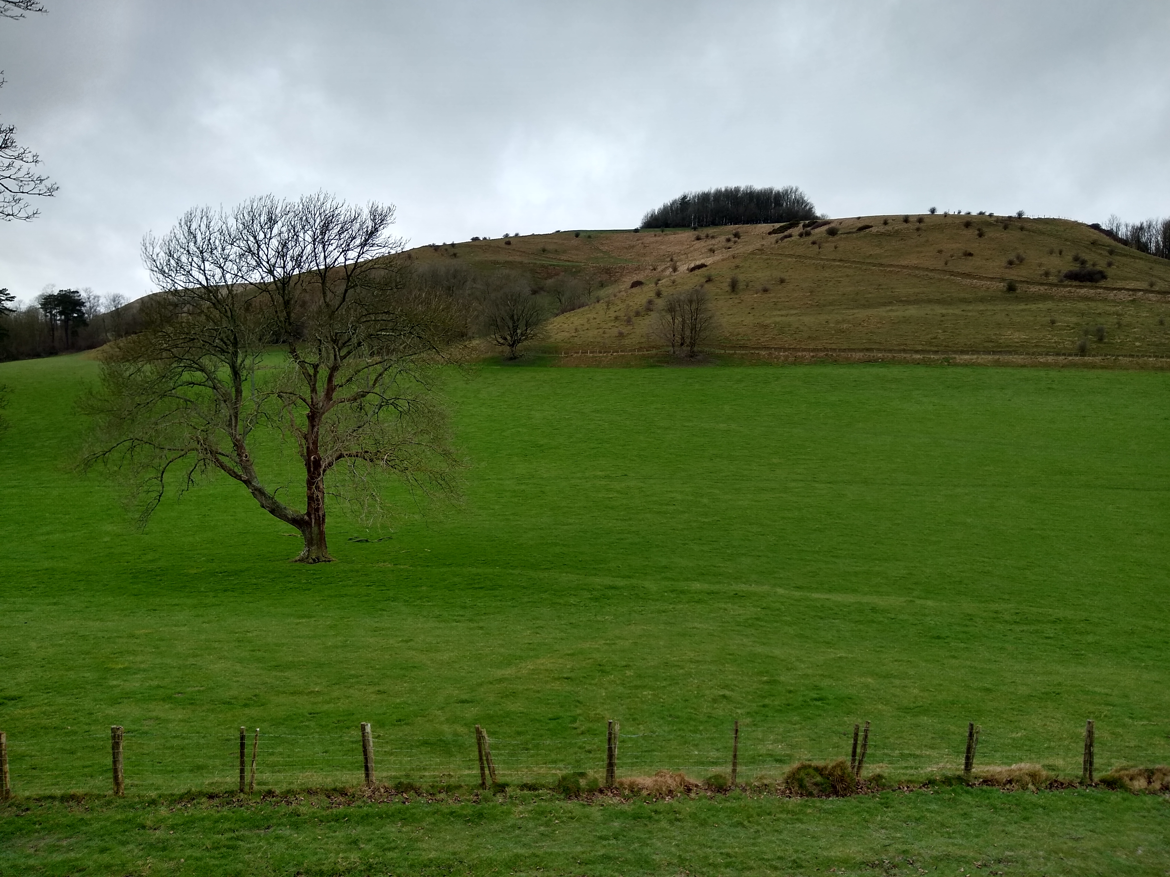
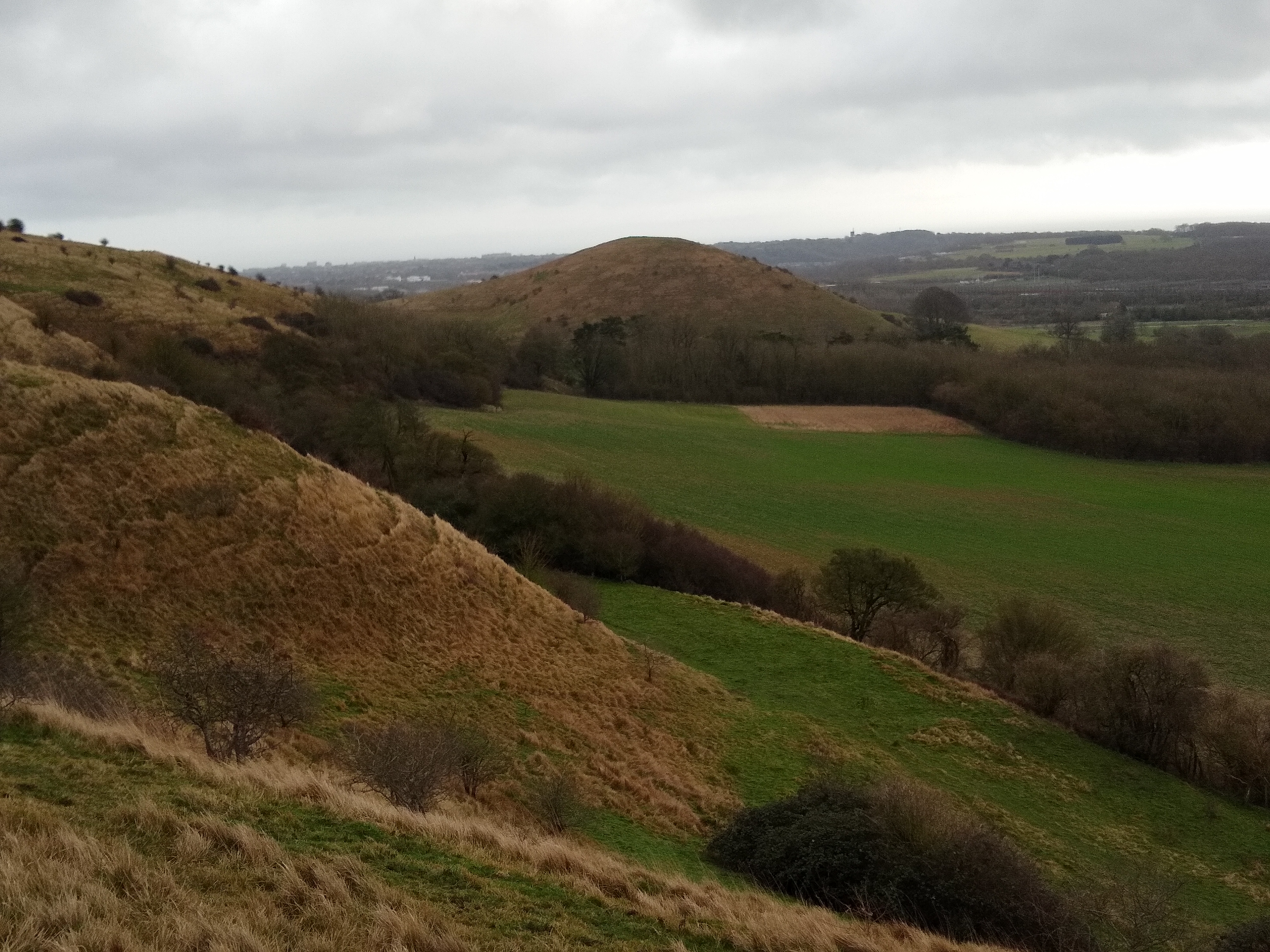
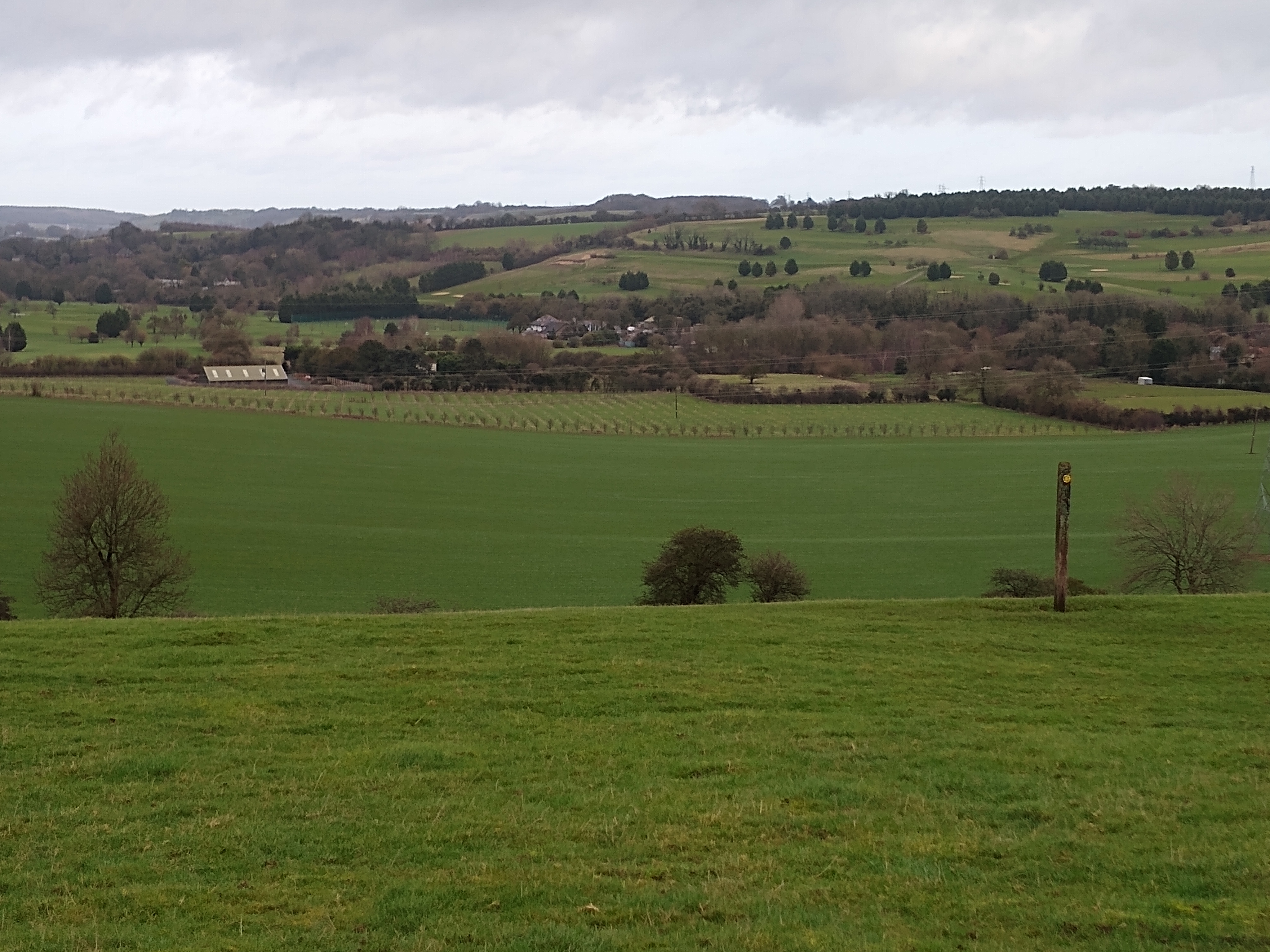
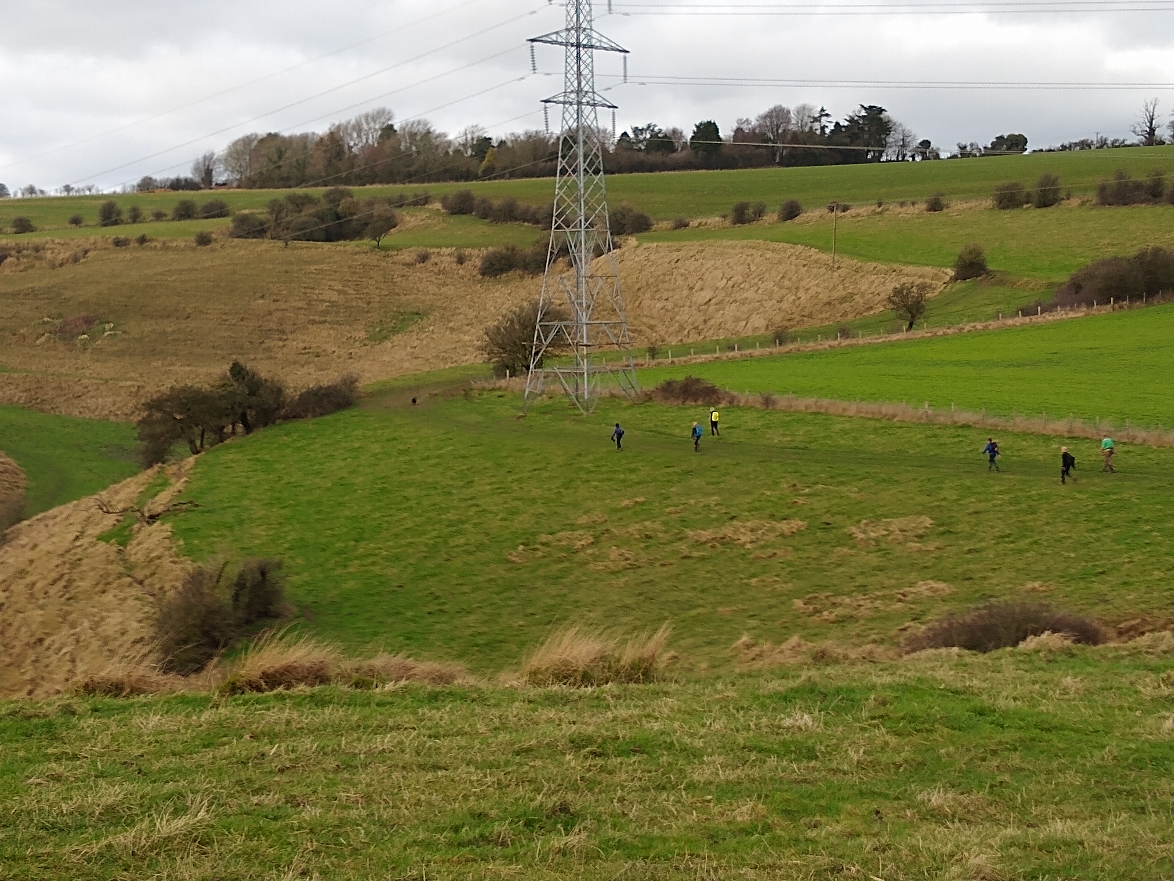
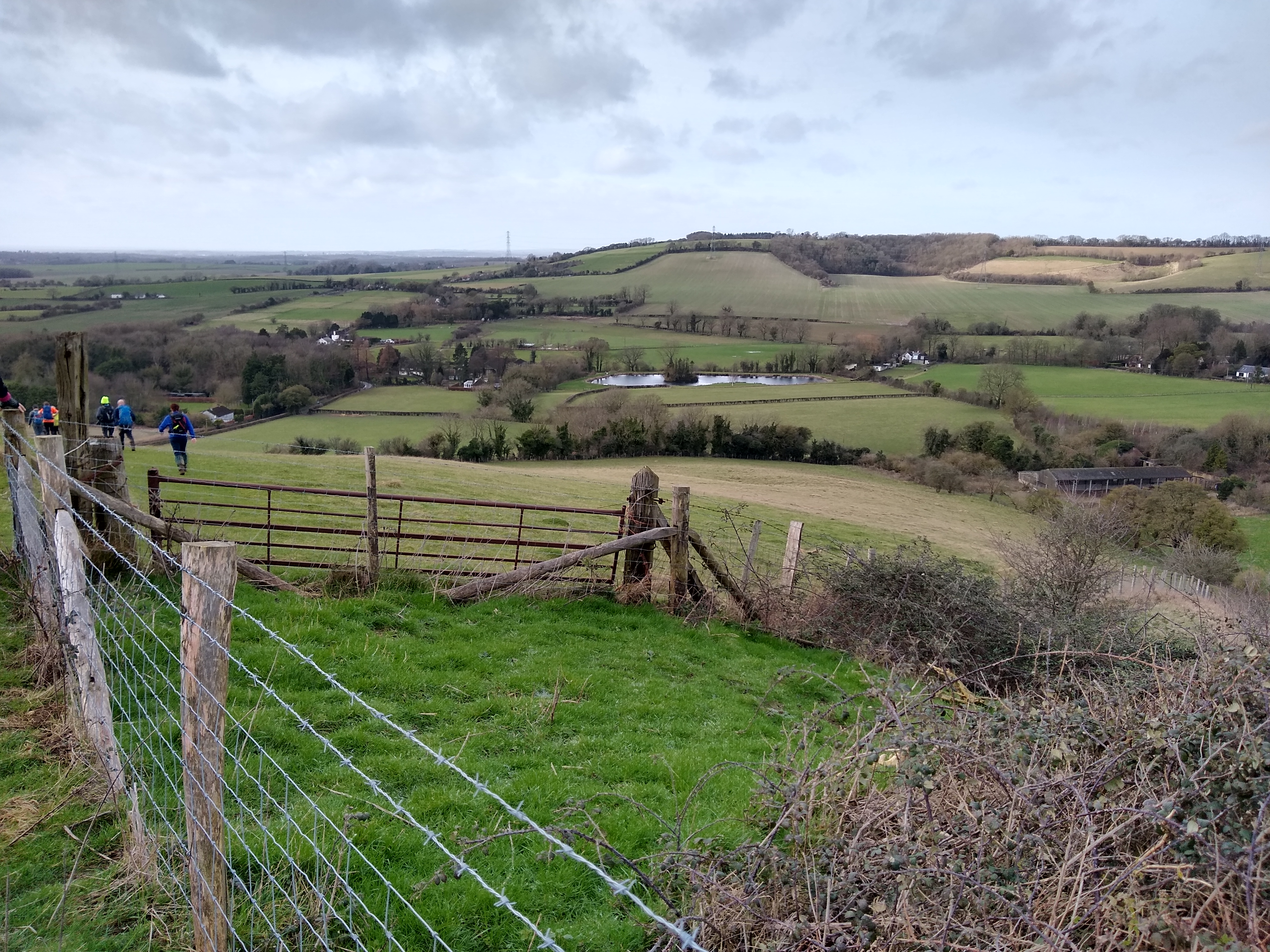
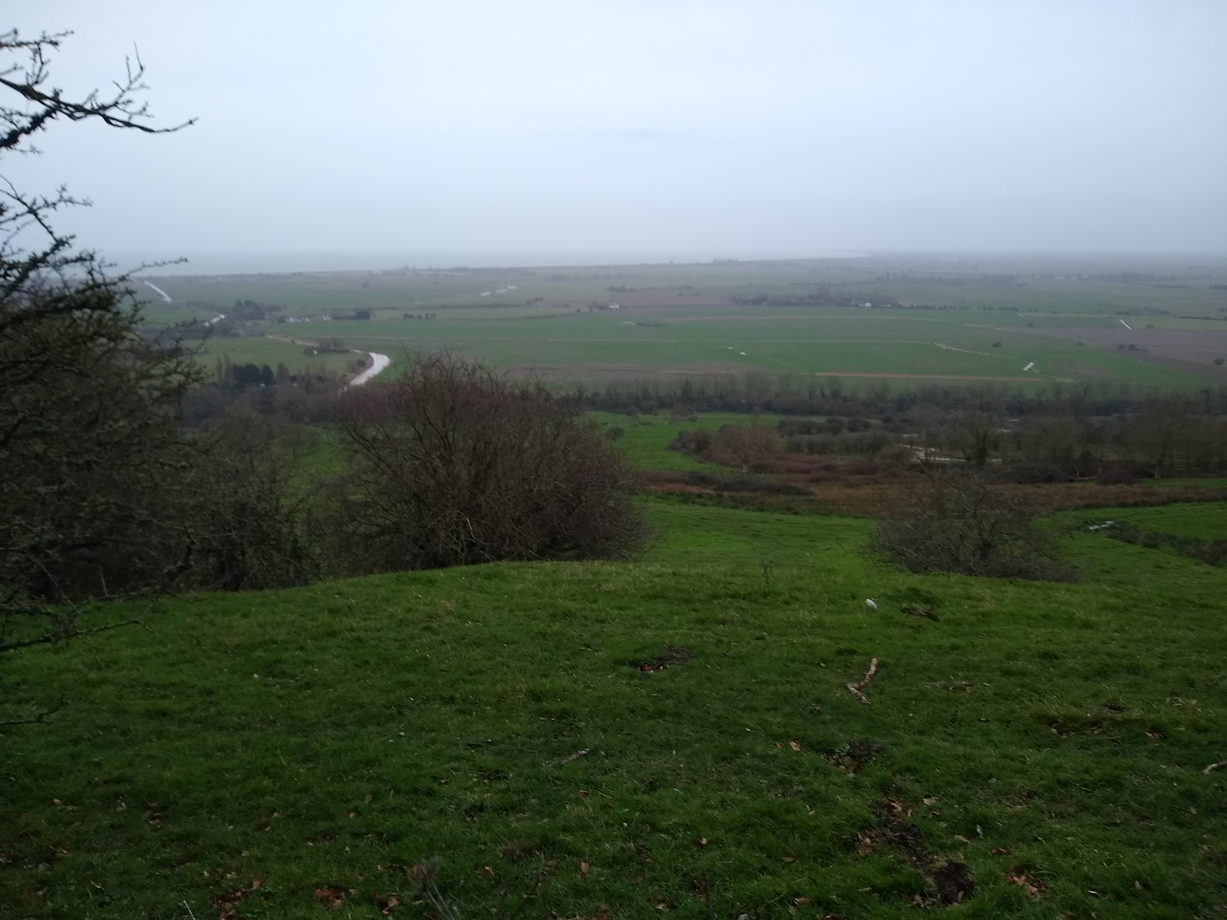
This is an anti-clockwise walk and starts from Lympne. It heads east to pick up the Saxon Shore Way and passes Saltwood Castle. It then turns northwards to cross both the railway and M20 before heading west to climb Summerhouse Hill. After a section along the Elham Valley Way, the route joins the North Downs Way and heads north west towards the village of Stowting. From here, it heads generally south westerly, crossing the M20 and railway again before turning east to return to the start, passing the Wild Animal Park at Port Lympne on the way.Other Files
GPX
A GPX file of the above route may be downloaded by clicking the link below.
Note: GPX files of Group Walks are created by LDWA Group members, and may be downloaded only by other LDWA members. They should not be made available outside the LDWA, and are used at members' own risk.
Login to Download (Members Only)You can use the interactive controls to zoom in and out and to move around the map, or click on a path or a marker for more info. (interactive map help)
You can use the interactive controls to zoom in and out and to move around the map, or click on a path or a marker for more info. (interactive map help)
Contains Ordnance Survey data © Crown copyright and database right 2016.
© OpenStreetMap contributors under Open Database Licence
Rights of way data from selected Local Authorities
Large scale digital mapping is provided by John Thorn
At high zoom levels the route is indicative only.
© OpenStreetMap contributors under Open Database Licence
Rights of way data from selected Local Authorities
Large scale digital mapping is provided by John Thorn
At high zoom levels the route is indicative only.
Gallery
Maps:
You can use the interactive controls to zoom in and out and to move around the map, or click on a marker for more info. (interactive map help)
Contains Ordnance Survey data © Crown copyright and database right 2016.
© OpenStreetMap contributors under Open Database Licence.
Rights of way data from selected Local Authorities.
Large scale digital mapping is provided by John Thorn.
© OpenStreetMap contributors under Open Database Licence.
Rights of way data from selected Local Authorities.
Large scale digital mapping is provided by John Thorn.


