


Winterhurst
Sun 12th Jan 2020
Walk Details:
Circular route from Ashurst, through Speldhurst and pub stop in Penshurst
Entry Details:
Walk Report
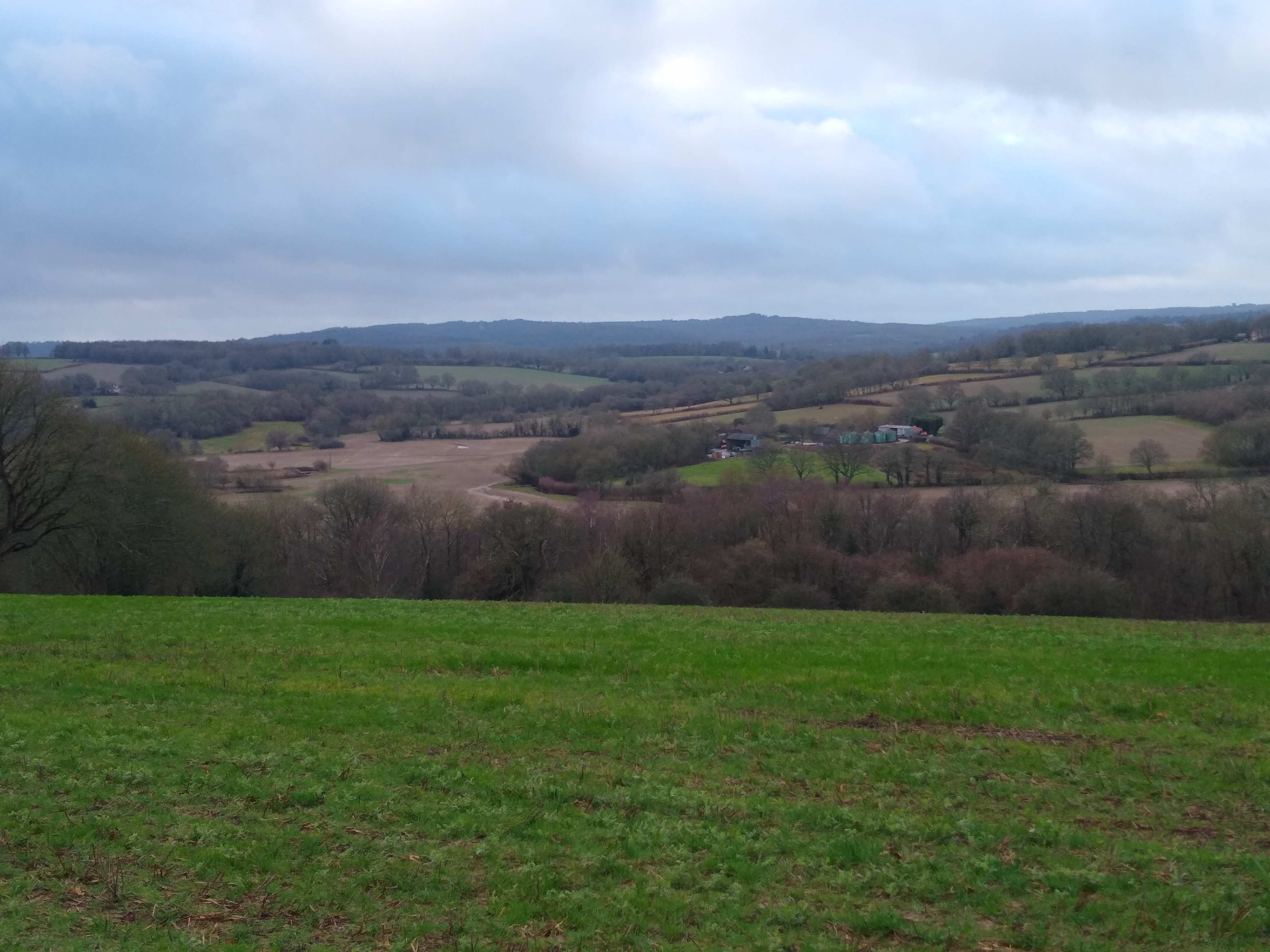
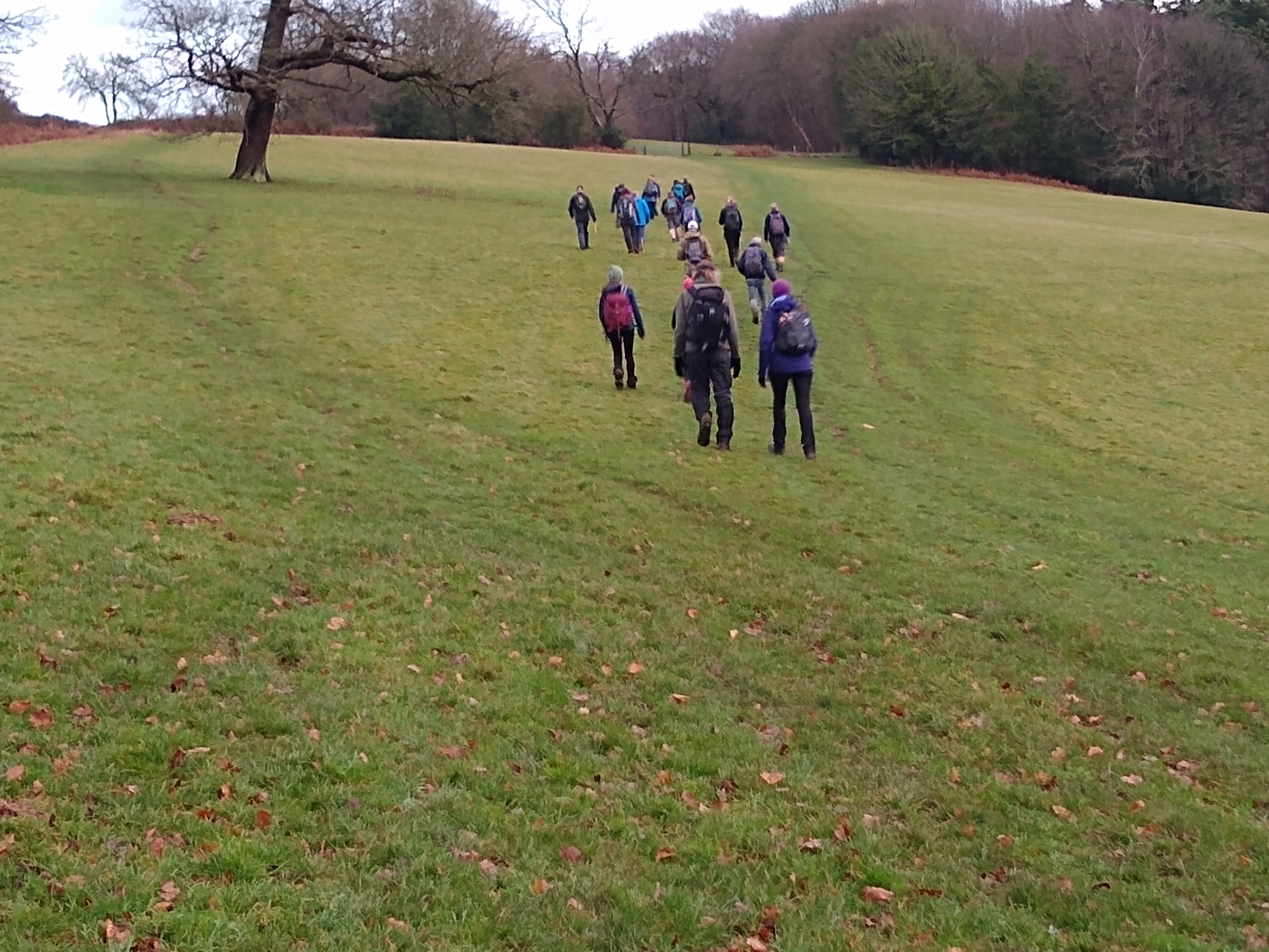
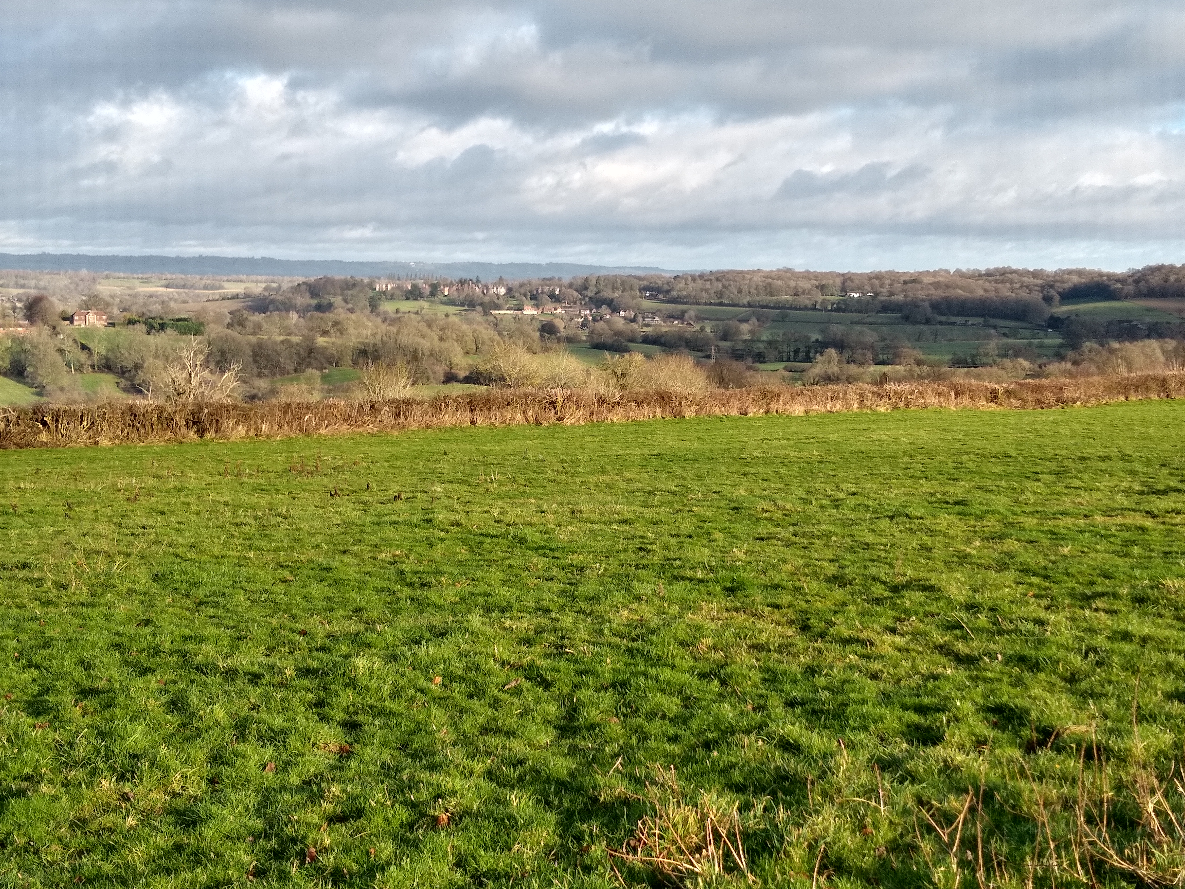
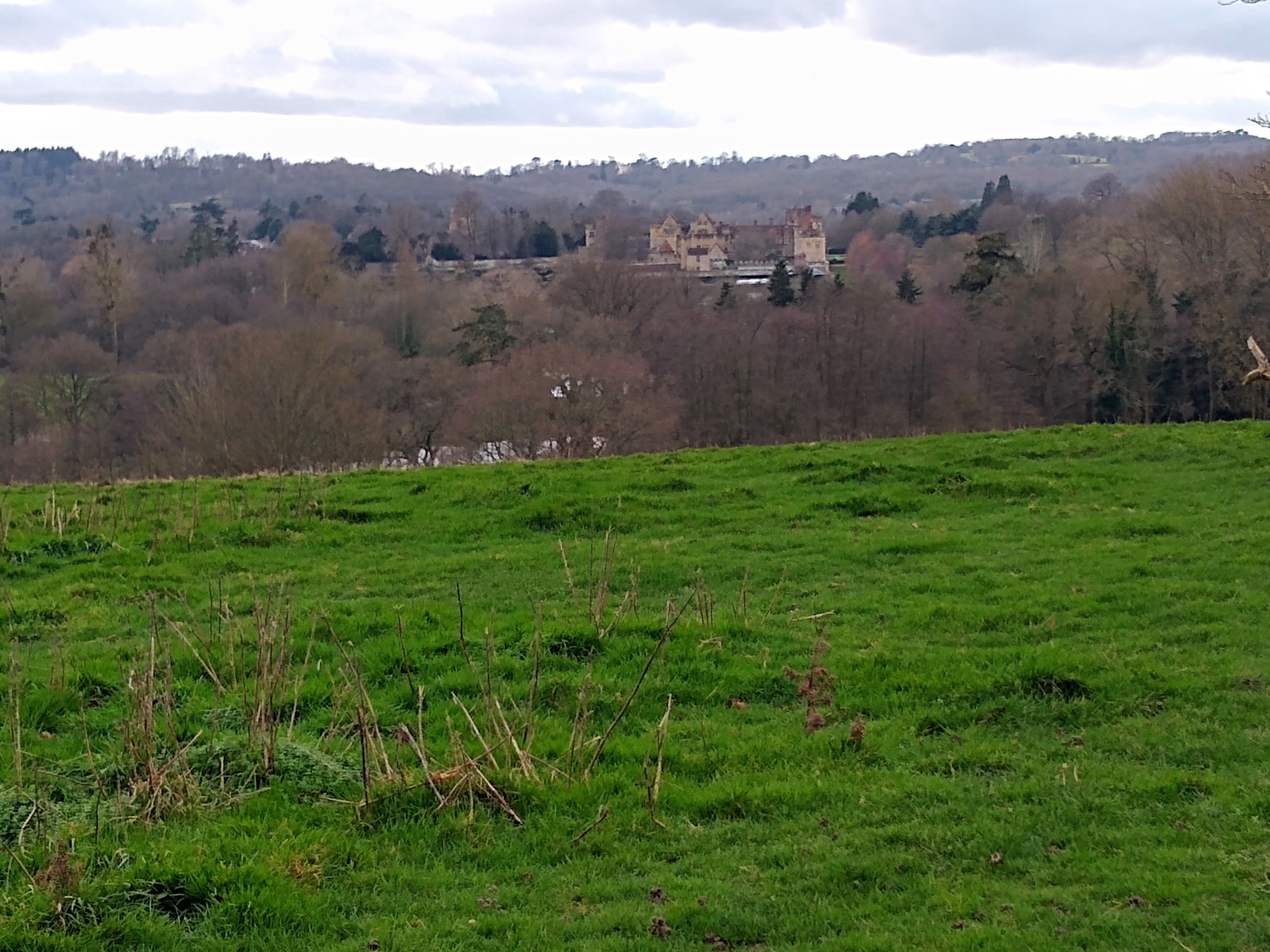
This is an anti-clockwise route which starts at Ashurst Station and initially heads south and south east before joining the Wealdway and turning north easterly to reach the village of Fordcombe. Although the route leaves the Wealdway for a short stretch, it rejoins it to reach Speldhurst. The walk continues generally northwards to reach Bidborough and beyond. On reaching the River Medway, the route heads south west to follow the Eden Valley Walk to pass Penshurst Place before arriving in the village. From Penshurst, the route heads initially westwards before turning southwards, eventually joining up with the Sussex Border Path to return to Ashurst.Other Files
GPX
A GPX file of the above route may be downloaded by clicking the link below.
Note: GPX files of Group Walks are created by LDWA Group members, and may be downloaded only by other LDWA members. They should not be made available outside the LDWA, and are used at members' own risk.
Login to Download (Members Only)You can use the interactive controls to zoom in and out and to move around the map, or click on a path or a marker for more info. (interactive map help)
You can use the interactive controls to zoom in and out and to move around the map, or click on a path or a marker for more info. (interactive map help)
© OpenStreetMap contributors under Open Database Licence
Rights of way data from selected Local Authorities
Large scale digital mapping is provided by John Thorn
At high zoom levels the route is indicative only.
Gallery
Maps:
You can use the interactive controls to zoom in and out and to move around the map, or click on a marker for more info. (interactive map help)
© OpenStreetMap contributors under Open Database Licence.
Rights of way data from selected Local Authorities.
Large scale digital mapping is provided by John Thorn.


