


Kentmere Horseshoe 8th September 2024
Walk leader Clare Edgar.
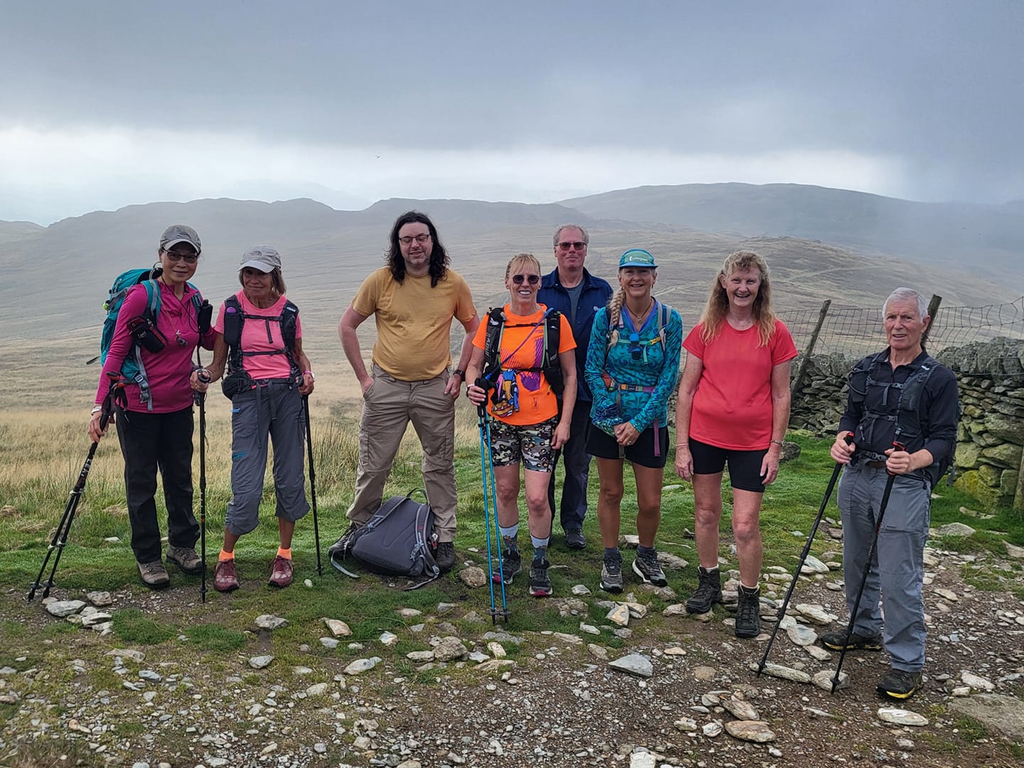
This was a joint walk for the Cumbria and Lakeland groups. Eight members attended, 2 Cumbria, 5 Lakeland and 1 Northumbria.
It was planned to use the parking area in the side road at Church Bridge, Troutbeck, but on arrival the parking area was completely full, fortunately, there was some nearby roadside parking. (When this was checked previously there was only one other vehicle there.)
The walk started at 0835 in cloudy but dry conditions and proceeded to Garburn Pass. Once there the group turned left and headed north to Yoke. It was not long before the group were walking in mist with much reduced visibility. After reaching the lower slopes of Yoke the group stopped for a quick drinks break. The group then finished the ascent to Yoke then carried on to Ill Bell where they stopped for a coffee break.
Still in mist the group then went to Froswick. After Froswick the route went to Thornthwaite Beacon and then onto to High Street. After visiting the trig point there, the group then headed to Mardale Ill Bell and Nan Bield where they stopped for lunch. After being suitably nourished the group then made the ascent of Harter Fell. Just after setting off it started to rain so Harter saw another stop to don wet weather clothing. Setting off in the rain the group then made made their way round to Kentmere Pike. There was a brief stop there to allow members to hop over the stile to visit the trig point before carrying on towards Shipman Knotts. On the way a string of wild ponies were seen grazing further down the valley. After Shipman Knotts the route went down to Wray Crag before going down to the track from Sadgill.
The rain had stopped and visibility was now good and we were able to see most of the high tops that were on the first part of the route. After a short stop for drinks, and while some removed waterproofs, the group turned right and followed the track to Stile End. The route now went left for a short distance along High Lane to reach a stile on the right. After crossing the stile the route went down the field to cross another two stiles either side of Low Lane and down to the footbridge over the stream from Kentmere Reservoir to reach a track leading down to Kentmere and a tarmac road. At the T junction the group turned right and followed the road until it became a track. After a few yards the group turned right beside a building onto the track leading up to Garburn Pass. After reaching the pass the group then went back down Garburn road to the path leading to Limefitt Holiday Park. The group then passed through the park to reach the A591 and turning left to return to the start at 1715
Distance travelled was 19miles and the ascent was 5200ft.
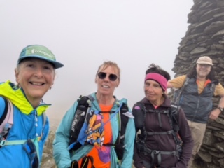
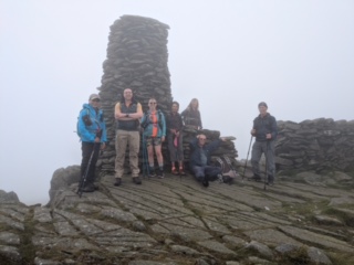
The first two images below are from Thornthwaite Beacon.
Group photo taken by Beatrice Blundell