COASTING ALONG SOUTH OF THE BORDER - 20.2.16


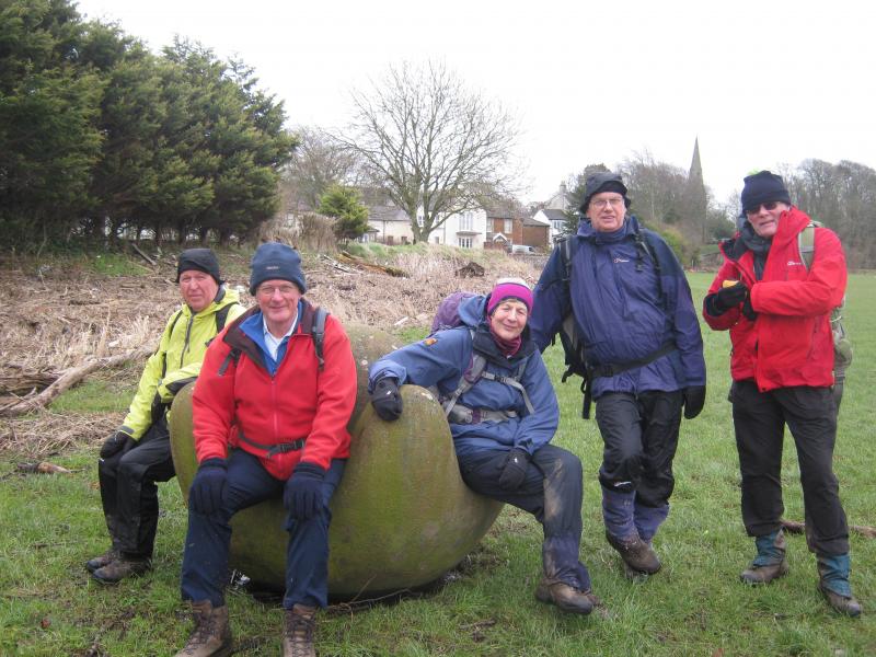
THE GROUP AT 'GLOBAL WARMING' ROCKCLIFFE 

Contrary to the previous evening’s forecast, there was an absence of rain on the morning of the walk, which made for a promising start.  Six members appeared at Kingmoor Nature Reserve car park in the north of Carlisle, ready to revisit (in the most part) the route of a Mince Pie walk of yore.  Unfortunately, on this occasion, an excellent spread of Festive fare did not await the returning walkers!

The walk began by taking in the Kingmoor Sidings Nature Reserve, which was once home to a vast engine shed and formed part of the extensive Carlisle railway complex.  Evidence of the site’s former use was apparent in the remaining rail tracks and an interpretation panel showed a plan of the former works.  Having crossed the West Coast Mainline, the route passed through Etterby and followed field paths over the former Waverley line to the hamlet of Stainton.  From Stainton, farm tracks took us beneath the Carlisle Northern Bypass and towards a loop of the Eden, from where the river was followed northwards.  The extent of the recent flooding was evident as we progressed along the river; debris and vegetation littered the surrounding fences, hedgerows and fields.  After a brief coffee stop just beyond Cargo, we followed the river to Rockcliffe, pausing to view the Eden Benchmark ‘Global Warming,’ one of ten such sculptures along the Eden from source to sea, commissioned for a Millennium project.

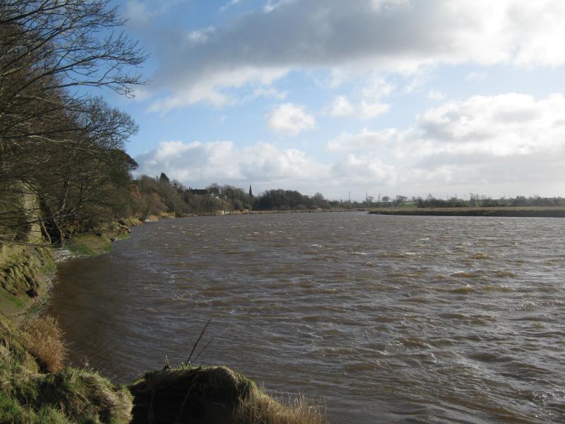
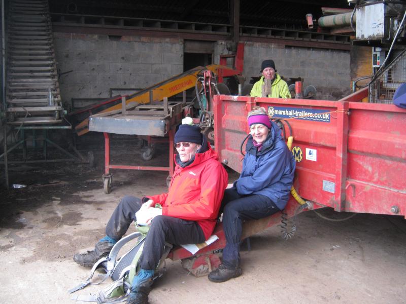
Due to the cliffs, it was not possible to follow the river at this point and a brief detour inland was necessary, before meeting it again close to Castletown House.  At this point there were views of the river mouth, where the water was made choppy by the strength of the winds.  The route turned east immediately beyond Demesne Farm, which took us out of the wind and we followed a minor road to Rockcliffe Cross.  Then the fun started!  A footpath, which had been flooded on the recce, now appeared to have dried out to the extent that it was walkable.  It was, initially, however the second field we encountered proved to be a mud bath and required careful negotiation.  Add to the mix, a herd of inquisitive bullocks!  Another muddy field followed, after which we were glad to see tarmac!  A long muddy farm lane took us to Garriestown, from where we recrossed the West Coast Mainline, via the footbridge (one of the highest points of the walk!).  The prospect of refreshment at the Metal Bridge Inn was tempting but we pressed on, passing beneath the M6 and found a dilapidated farm shed for a lunch break.  This provided shelter from the wind but we didn’t rate the service, however!

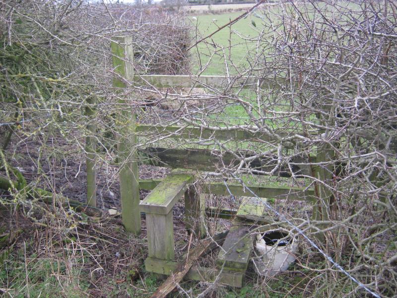
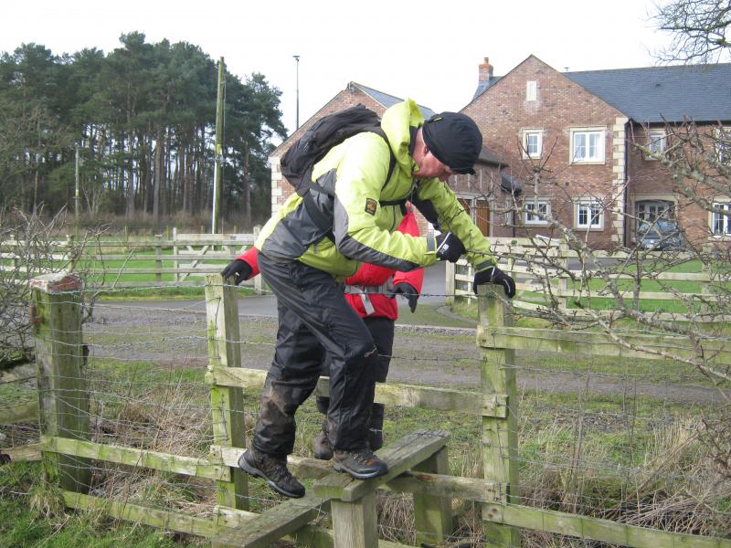
After lunch, the route followed the River Lyne for a short distance, before turning south east on a minor road.  Next came a section of field paths with a selection of challenging stiles, in various states of disrepair, which took us to another road section.  Whilst on this section, we disturbed a number of deer, their white rumps giving them away.  Way marking left a great deal to be desired and suggested that the paths were little used by walkers. The route continued on the road to Newtown of Rockcliffe, where we recrossed the former Waverley line and reached the A7 by the church at Blackford.  Further field paths running parallel to the A7 took us to the edge of Harker, where we followed a woodland path.  This deposited us by the truck stop on the A689 close to Harker Grange.  The busy M6 junction 44 contrasted markedly with the quiet riverside and field paths we had walked.  The route continued down Kingstown Road until a footpath skirting the top edge of the Lowry Hill estate gave access to the northern part of the Kingmoor Nature Reserve and back to the cars.

A WELCOMING STILE!A CHALLENGING STILE!LOOKING BACK TOWARDS ROCKCLIFFETABLE FOR TWO