Route Description
This is the final Route Description and is the one that should be printed or downloaded onto a device with power to last the whole event and carried so that you won't fail a kit check. Please disregard previous versions and .gpx files used for reconnaissance which may contain inaccuracies.
The .gpx file is the final version and trackers to follow entrants.
And the route risk assessment.
Use these links for the Marshals' Route Description and .gpx and trackers to follow entrants.
The .gpx file and distances are those calculated by OSMaps online so may not match some GPS devices.
You are reminded that entrants must carry OS 1:25,000 maps Explorer 135, 146, 147 and 148, or the equivalent printed out versions from your mapping software provided that there is at least 1km border on either side of the route. Alternatively OS 1:25,000 maps in downloaded electronic format will be allowed provided durability and adequate power supply for 48 hours can be demonstrated if requested by a marshal. A watch screen must be able to zoom in to show footpaths in green.
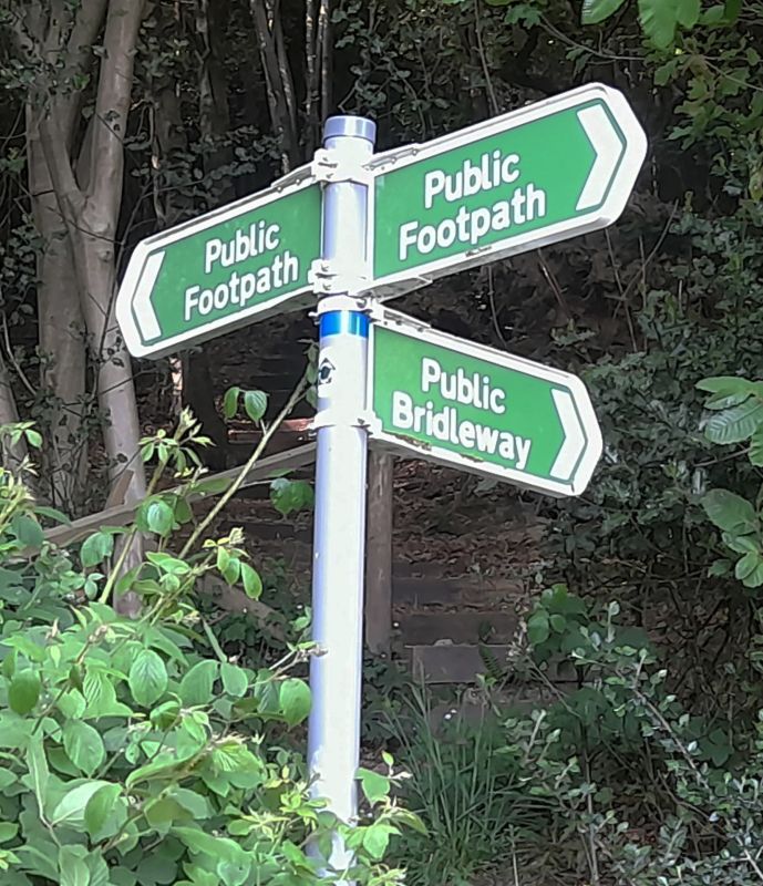
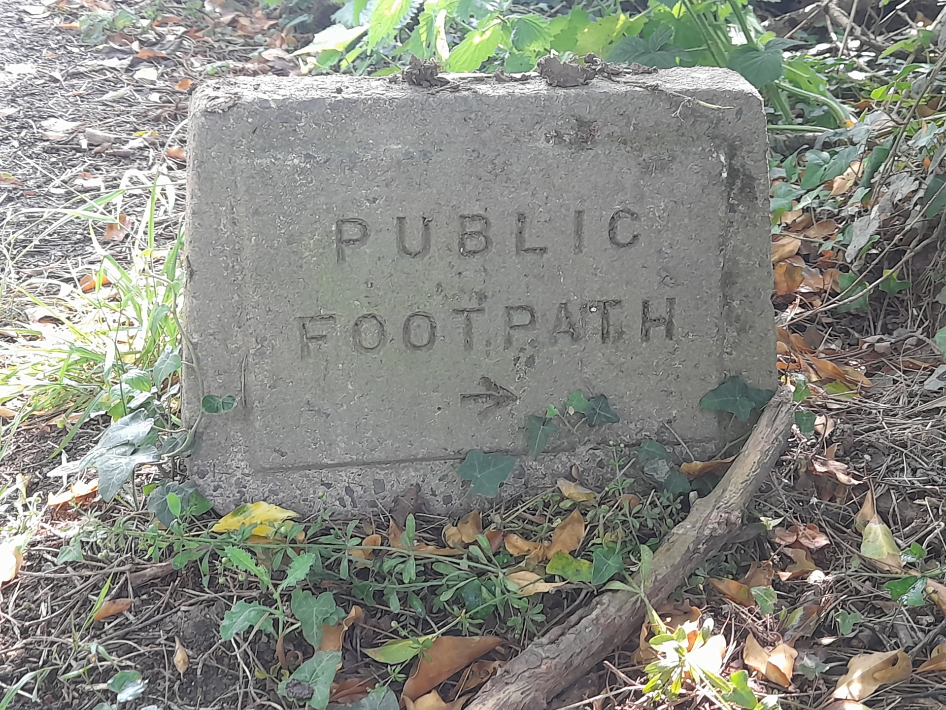
Fingerposts (fpost) in Kent are generally white on green metal or plastic and found only where a footpath meets a public road. Occasionally there will only be, or in addition, an older waymark stone. At footpath junctions and other helpful points there will be waymark (wm) roundels on a convenient path side object or on a specially installed post (wmp)

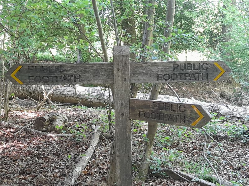
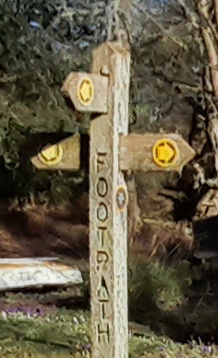
In Sussex and Surrey fingerposts will be wooden and sometimes harder to spot. They may have longer arms with writing or just stubs pointing in the right direction. But they are used away from roads as well although you will sometimes find roundels. This information could help you know which county you are in but there are exceptions so it's not fool proof.