Legs
Leg 1 Meopham to Addington
9.3 miles, ascent 998ft
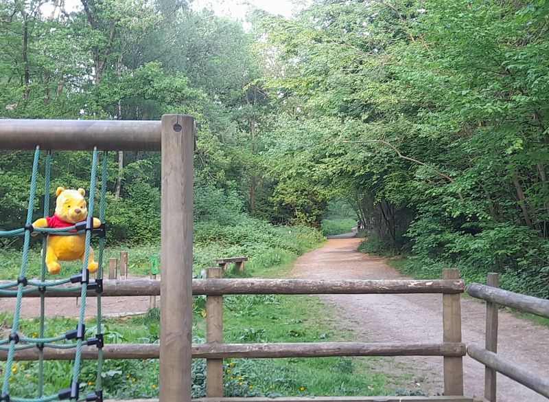
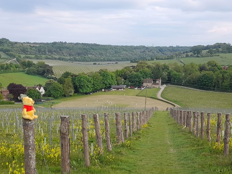
Escape from Meopham housing into the countryside and the first of the dry chalk valleys to be crossed that are a dominant feature of the North Downs dip slope and that you'll return to later. Join the Wealdway turning south through Luddesdown and some of the many vineyards that are being planted locally. Terrain becomes wooded before descending the scarp slope of the North Downs and passing Coldrum Long Barrow, older than Stonehenge and worthy of a few moments detour. The route then goes through sand pit workings and under the M20 to reach Addington.
Leg 2 Addington to Ightham
5.0 miles, ascent 575ft
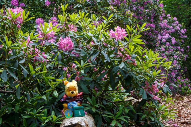
Rejoining the Wealdway, climb up to Platt Woods which should coincide with the rhododendrons at their best. Follow a hidden valley into Basted then country lanes to reach Ightham.
Leg 3 Ightham to Sevenoaks Weald
7.4 miles, ascent 891ft
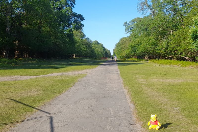
Climb through a gully up Oldbury Hill then follow paths through its woods. A long drive leads to the climb over the ridge on which St. Lawrence, Seal stands. Through farmland and woods into Knole Park to follow its mile long Chestnut Walk avenue of trees. Join the Greensand Way descending from the Greensand ridge down to Sevenoaks Weald.
Leg 4 Sevenoaks Weald to Cowden
8.9 miles, ascent 674ft
Now into Low Weald terrain the route is less lumpy and crosses the Eden valley and river. Through more farmland and some woods leads to Markbeech before getting some extensive views dropping down into Cowden.
Leg 5 Cowden to Crowborough
9.4 miles, ascent 1487ft
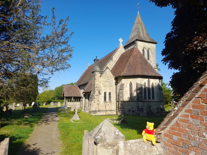
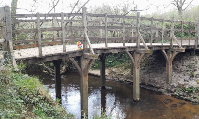
Cross into Sussex and across the 1st golf course on the route. More extensive views, now in the High Weald. Drop down to cross Pooh Sticks Bridge into Ashdown Forest and climb up to the Enchanted Place then Eeyore's Gloomy Place and 100 Acre Wood. Down through ancient homes of Rabbit and friends to cross a medieval fish pond via a tree encrusted bridge before climbing up to St. John's on the edge of Crowborough.
Leg 6 Crowborough to Nutley
6.2 miles, ascent 846ft
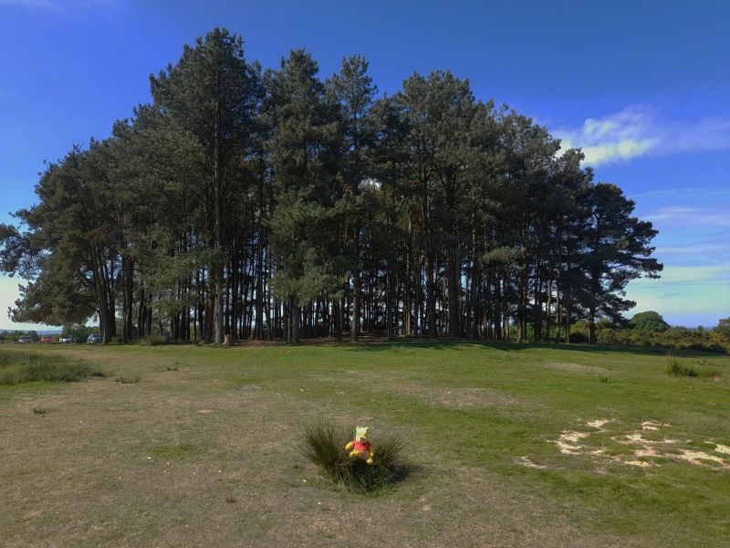
Back into Ashdown Forest with more downs and ups to Friends Clump of pine trees, hilltop stands of which are iconic of the Forest. Leave the Forest down to Nutley.
Leg 7 Nutley to Horsted Keynes
6.0 miles, ascent 628ft
Continue westwards through woodland to join the Sussex Diamond Way and follow through Sheffield Forest passing its route low point mill pond. Fork onto the Sussex Border Path crossing from East Sussex into West Sussex before reaching Horsted Keynes.

Leg 8 Horsted Keynes to Felbridge
9.2 miles, ascent 964ft
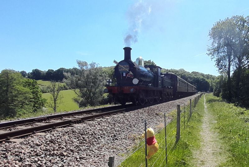
Pass pond and lake to cross then follow the Bluebell Railway. Rejoin the Sussex Border Path before diverting through Shagswell Wood. Continue north on the High Weald Landscape Trail. Cross the mighty River Medway while merely a trickle of a stream just below its source and finish on a good track into Felbridge after entering Surrey.
Leg 9 Felbridge to Edenbridge
8.7 miles, ascent 287ft
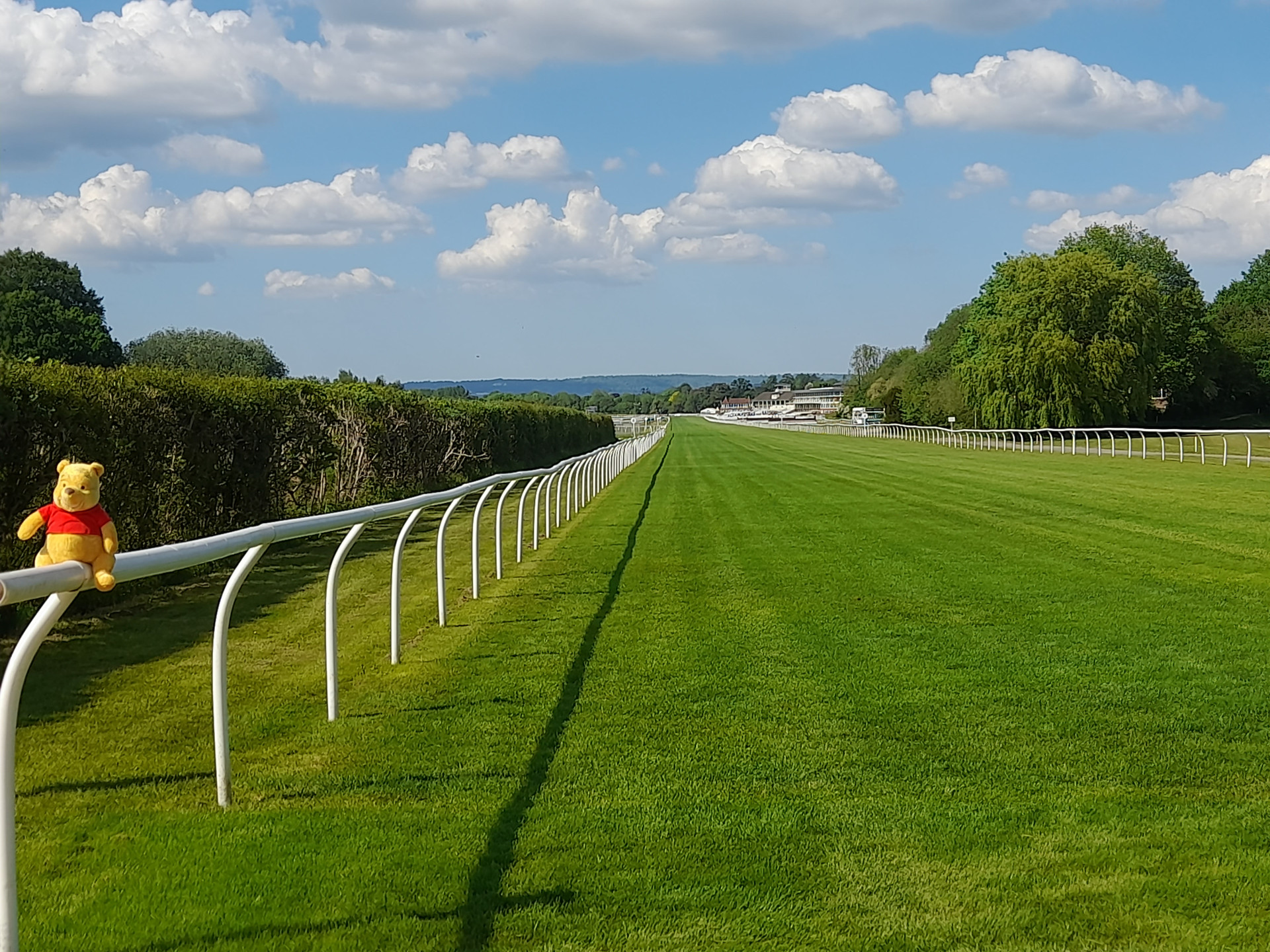
The Tandridge Border Path includes a bit of bog to make those from more rugged lands feel at home. Our second golf course leads to a crossing of Lingfield Park racecourse and its associated further golf course. Back into the flatter Low Weald, recross the River Eden and follow the Eden Valley Walk re-entering Kent on the way to Edenbridge
Leg 10 Edenbridge to Ide Hill
4.8 miles, ascent 852ft
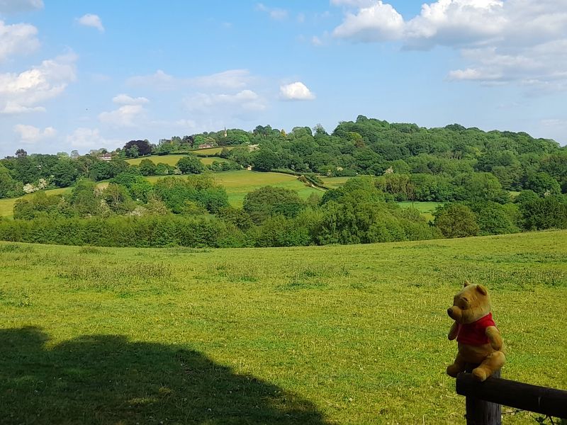
With lots of easy underfoot, close cropped sheep grazed fields the route soon begins to climb back onto the Greensand Ridge up to Toys Hill, the second highest point in Kent. You're excused the very top but not the further climb up to Ide Hill.
Leg 11 Ide Hill to Halstead
8.2 miles, ascent 957ft
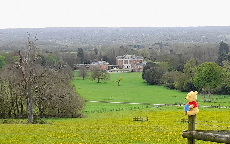
Undulating farmland will get you to Sundridge churchyard and then the village. At 2 miles the longest stretch of tarmac (some laid since the route was devised) crosses the M25 and starts up the North Downs scarp. Turning eastwards reveals views of Chevening House, the foreign minister's grace & favour retreat. More climbing up the scarp slope leads to Halstead.
Leg 12 Halstead to Kemsing
5.7 miles, ascent 777ft
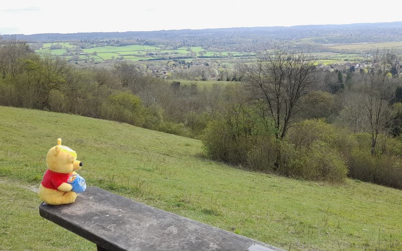
Getting under the M25 allows a crossing of the deep Darenth Valley. One nature reserve leads to another passing a bench dedicated to Kent Group's late life president Brian Buttifant before dropping down into Kemsing.
Leg 13 Kemsing to Hodsoll Street
6.7 miles, ascent 974ft
What goes down must go up so it's up the North Downs scarp again to join the North Downs Way. Unfortunately the NDW drops to the bottom again so there's one more climb when leaving it to get the right side of the M20. Now back onto the dip slope those dry chalk valleys allow just an occasional respite from elevation change before reaching Hodsoll Street.
Leg 14 Hodsoll Street to Meopham
5.5 miles, ascent 304ft
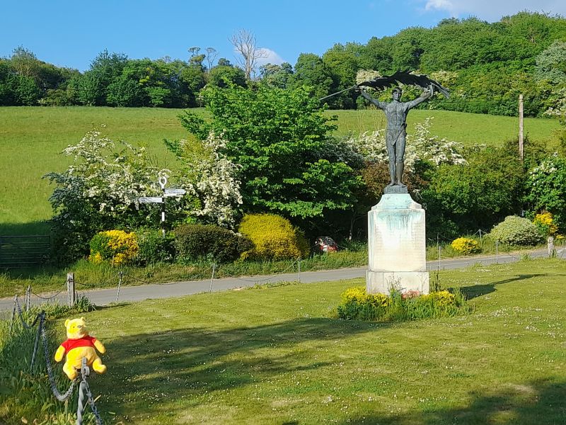
Nearly there but a visit to Trosley Country Park comes first with exercise equipment to try in the woods. On this second flattest leg it's down into the last dry valley but the climb out is gentle before the last stretch through Meopham back to the leisure centre.