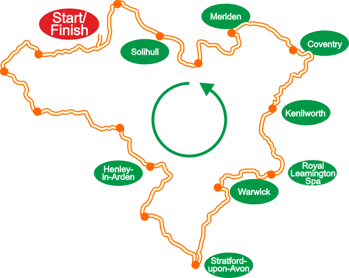
EBB100 Route Overview
Check out Simon Pipe's pre-event videos
and get a sneak preview of some event highlights.
The route combines urban and rural walking in an anticlockwise direction from Moseley, along the Stratford-upon-Avon Canal and the River Rea, traversing the Waseley and Lickey Hills, taking in the countryside of north Worcestershire and Warwickshire, the ancient Forest of Arden, Shakespeare country, the Welcombe Hills, Kenilworth Castle, Coventry's showpiece War Memorial Park, the traditional centre of England in Meriden and the River Cole and Chinn Brook to complete the loop.
Visit our Route Description page for a detailed route description, a list of waypoints and a gpx file, all available to download.
Please note that the route is subject to amendment.

A centred map encompassing the whole of the route on one map is available from Ordnance Survey.
The centre point grid reference is SP 15443 69701 (Lapworth Hill, B94).
See the Merchandise page.
Note: Although very useful for planning this map is not acceptable as your event map as the scale is 1:50000.
Required maps are 1:25000 OS Explorer 205, 219, 220 & 221 - see Rules para 9.


