
Bentley Blues and Beyond.
Thu 16th Apr 2026
Walk Details:
Event Type
Group Walk
Region / Area
Southern England / Wiltshire
Local Group
Wiltshire
Distance
15ml.
Start Time
09.30
Route
Pepprbox Hill NT c.p on the A36 East of Salisbury. Near Whiteparish
Heads out south of A36 towards Downton, before looping back over Barford Down, alongside the disused railway, over Standlynch & Withrington Downs, then back north of the A36 towards East Grimstead, then into Bentley Woods. After a loop of the woods, we will head back over the railway line & along a byway, up Dean Hill & then onto the green lane that returns us to Pepperbox
General Notes
Elevation: 468ft.
Bring coffee & sandwiches as no cafes/pubs en route.
Suitable for dogs but will need to be on leads for some sections
Web Site
Start and Finish

Entry Details:
Cost
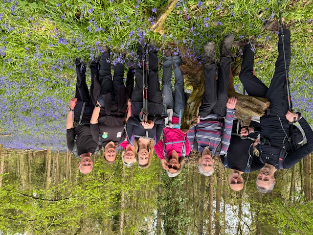
Gallery
Maps:
You can use the interactive controls to zoom in and out and to move around the map, or click on a marker for more info. (interactive map help)
Contains Ordnance Survey data © Crown copyright and database right 2016.
© OpenStreetMap contributors under Open Database Licence.
Rights of way data from selected Local Authorities.
Large scale digital mapping is provided by John Thorn.
© OpenStreetMap contributors under Open Database Licence.
Rights of way data from selected Local Authorities.
Large scale digital mapping is provided by John Thorn.







