
Back to the Wall
Sat 26th Jul 2025
Walk Details:
Event Type
Group Walk
Region / Area
Northern England / Hadrian's Wall
Local Group
Northumbria
Distance
24ml.
Start Time
08.30
Route
(Take Hadrian's Wall country bus AD 122 from Hexham to Greenhead.
Walk up to Hadrian's Wall & along the wall past Housesteads Roman Fort to Walwick Fell then past Walwick & Chesters to follow Tyne Trail back to Hexham)
Walk up to Hadrian's Wall & along the wall past Housesteads Roman Fort to Walwick Fell then past Walwick & Chesters to follow Tyne Trail back to Hexham)
General Notes
Linear walk from Greenhead to Hexham.
Meet at Hexham bus station, Stand 'E'. Can park all day in white bays Wentworth c.p (NE46 3PD) with Parking Disc - cost £1.
Bus ticket costs £2.50
Web Site
Start

Finish
Entry Details:
Cost
Walk Report
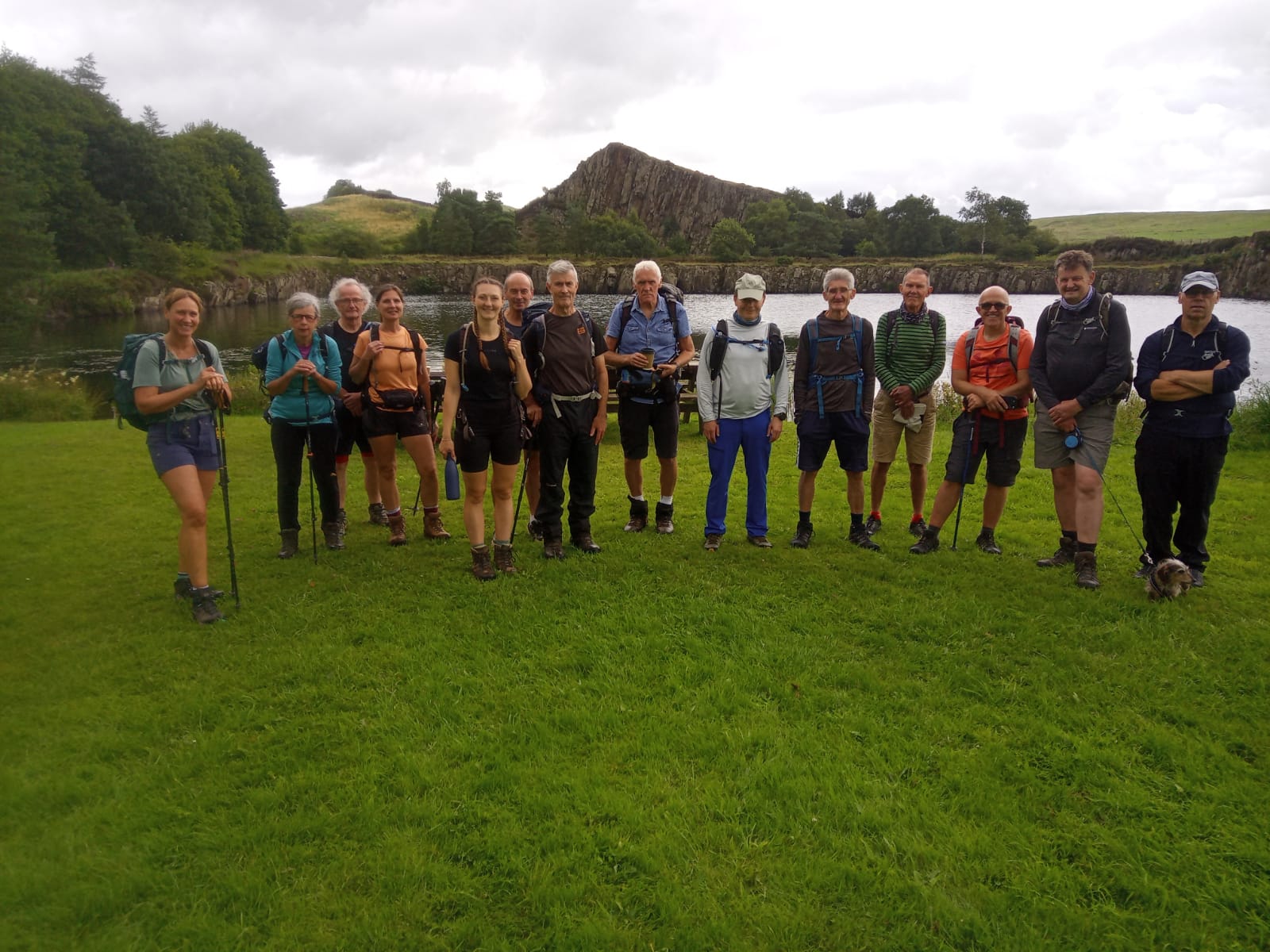
Lovely 24 mile walk from Greenhead to Hexham. Overgrown path at Newborough so took alternative route. Linear walk taking AD122 bus worked wellOther Files
GPX
A GPX file of the above route may be downloaded by clicking the link below.
Note: GPX files of Group Walks are created by LDWA Group members, and may be downloaded only by other LDWA members. They should not be made available outside the LDWA, and are used at members' own risk.
Login to Download (Members Only)You can use the interactive controls to zoom in and out and to move around the map, or click on a path or a marker for more info. (interactive map help)
You can use the interactive controls to zoom in and out and to move around the map, or click on a path or a marker for more info. (interactive map help)
Contains Ordnance Survey data © Crown copyright and database right 2016.
© OpenStreetMap contributors under Open Database Licence
Rights of way data from selected Local Authorities
Large scale digital mapping is provided by John Thorn
At high zoom levels the route is indicative only.
© OpenStreetMap contributors under Open Database Licence
Rights of way data from selected Local Authorities
Large scale digital mapping is provided by John Thorn
At high zoom levels the route is indicative only.
Gallery
Maps:
You can use the interactive controls to zoom in and out and to move around the map, or click on a marker for more info. (interactive map help)
Contains Ordnance Survey data © Crown copyright and database right 2016.
© OpenStreetMap contributors under Open Database Licence.
Rights of way data from selected Local Authorities.
Large scale digital mapping is provided by John Thorn.
© OpenStreetMap contributors under Open Database Licence.
Rights of way data from selected Local Authorities.
Large scale digital mapping is provided by John Thorn.







