
5 Piers, 2 Rivers & A Boat
Wed 19th Mar 2025
Walk Details:
Event Type
Group Walk
Region / Area
Northern England / Coastal/Tyne to Wear
Local Group
Northumbria
Distance
17ml.
Start Time
09.00
Route
(An easy going linear walk commencing at Monkseaton Metro Station, Whitley Bay & finishing at St Peters Metro Station, Sunderland. The route follows the English Coast Path passing Whitley Bay, Cullercoats & Tynemouth. We then use the Tyne Ferry to cross the river from North Shields to South Shields & continue along the coast passing Marsden, Whitburn & Roker. The walk ends at St Peters Metro, Monkwearmouth where people can return back to Newcastle via the metro. However, for those interested in refreshments at the end of the walk, I intend to stop off at the Sheepfolds Stables afterwards – this is only a short distance away from St Peters Metro station)
General Notes
Meet on the northern platform of Monkseaton Metro (Norham Road). On street parking nearby, but please park considerately.
It costs £6.80 for an all day Metro Ticket & this includes crossing the Tyne using the ferry (Note: I suggest you purchase a ticket & do not use a Metro Pop Card to travel – the Pop Card does not cover the cost of the ferry).
Web Site
Start

Finish
Entry Details:
Cost
Walk Report
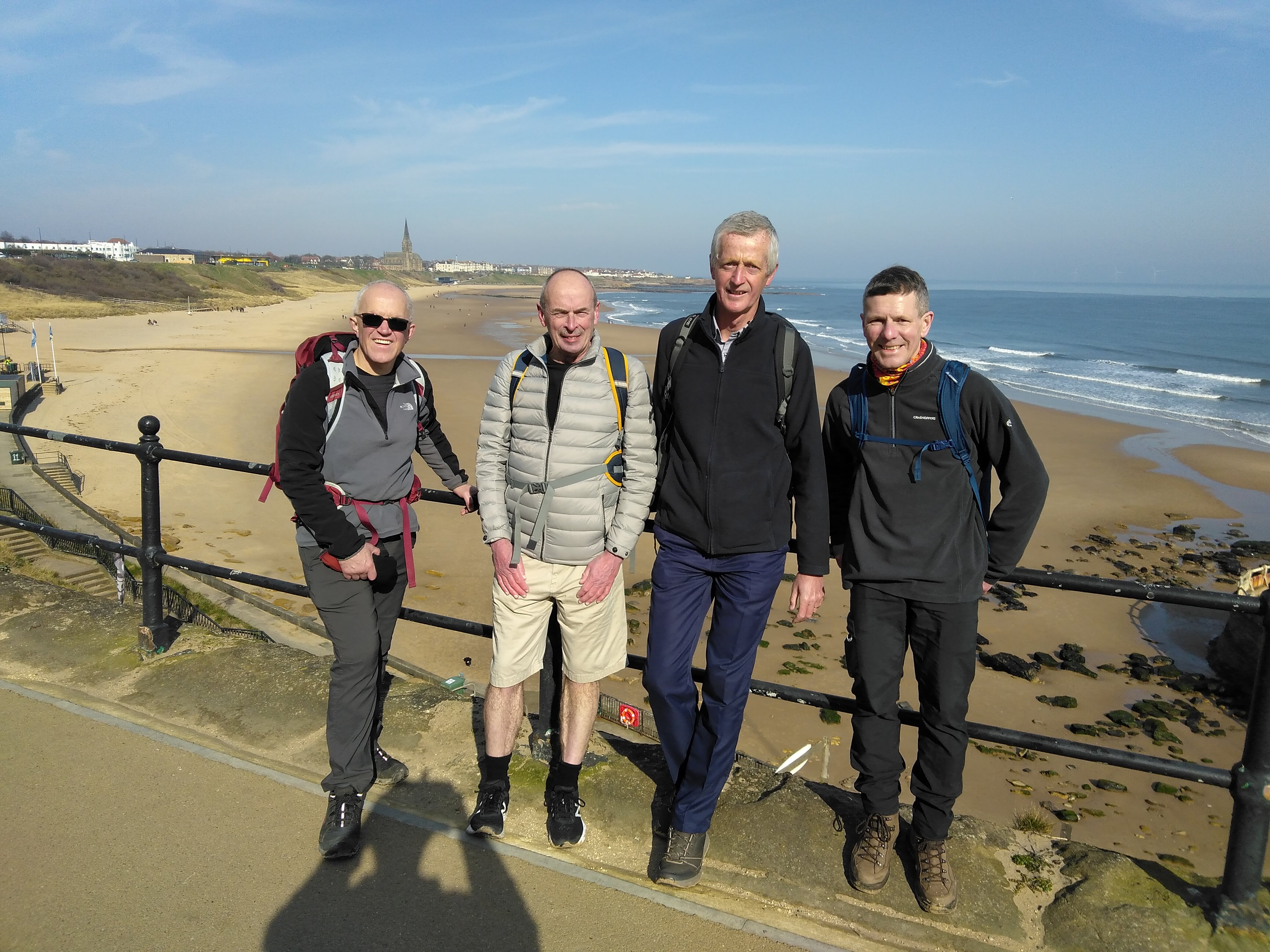
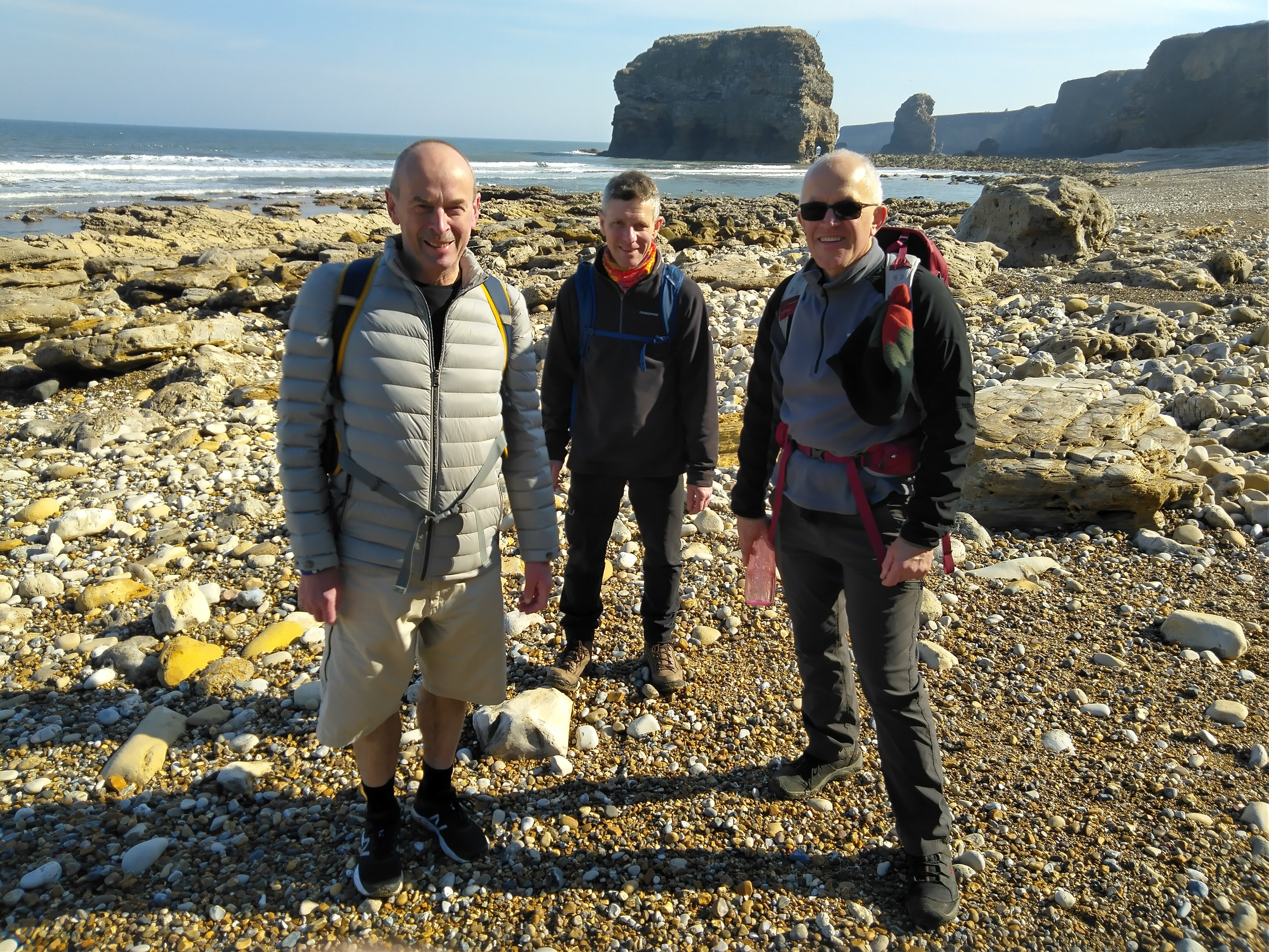
We had a great group walk from Whitley Bay down to Sunderland on Wednesday despite a poor turnout - beautiful coastline, great weather and a well deserved pint at the finish. Thanks to Phil and the two Davids for their companionship.Other Files
GPX
A GPX file of the above route may be downloaded by clicking the link below.
Note: GPX files of Group Walks are created by LDWA Group members, and may be downloaded only by other LDWA members. They should not be made available outside the LDWA, and are used at members' own risk.
Login to Download (Members Only)You can use the interactive controls to zoom in and out and to move around the map, or click on a path or a marker for more info. (interactive map help)
You can use the interactive controls to zoom in and out and to move around the map, or click on a path or a marker for more info. (interactive map help)
Contains Ordnance Survey data © Crown copyright and database right 2016.
© OpenStreetMap contributors under Open Database Licence
Rights of way data from selected Local Authorities
Large scale digital mapping is provided by John Thorn
At high zoom levels the route is indicative only.
© OpenStreetMap contributors under Open Database Licence
Rights of way data from selected Local Authorities
Large scale digital mapping is provided by John Thorn
At high zoom levels the route is indicative only.
Gallery

Maps:
You can use the interactive controls to zoom in and out and to move around the map, or click on a marker for more info. (interactive map help)
Contains Ordnance Survey data © Crown copyright and database right 2016.
© OpenStreetMap contributors under Open Database Licence.
Rights of way data from selected Local Authorities.
Large scale digital mapping is provided by John Thorn.
© OpenStreetMap contributors under Open Database Licence.
Rights of way data from selected Local Authorities.
Large scale digital mapping is provided by John Thorn.







