
Isaac's Hearse House - the prologue
Sat 8th Feb 2025
Walk Details:
Event Type
Group Walk
Region / Area
Northern England / Northern England/North Pennine
Local Group
Northumbria
Distance
20ml.
Start Time
08.00
Route
(Start at 8am. Start & finish is Isaac's Well on the edge of Allendale Town marketplace. There is plenty of free parking in the vicinity of the marketplace itself. GR NY838558, post code NE47 9AZ.
Circular walk led by Paul Nellist. Anti-clockwise winding loop between Allendale Town & Isaac's Hearse House at Ninebanks in the West Allen Valley.
Allendale Town - Oakpool - Pia Troon - Keenley Chapel - Monk Wood - Ripley Carrs Trig - Ninebanks - Allendale Chimneys - Wooley Scar - Allendale Town.
The route uses Isaac's Tea Trail & the Reivers Way.)
Circular walk led by Paul Nellist. Anti-clockwise winding loop between Allendale Town & Isaac's Hearse House at Ninebanks in the West Allen Valley.
Allendale Town - Oakpool - Pia Troon - Keenley Chapel - Monk Wood - Ripley Carrs Trig - Ninebanks - Allendale Chimneys - Wooley Scar - Allendale Town.
The route uses Isaac's Tea Trail & the Reivers Way.)
General Notes
Most of the walk is on good footpaths, but there is some more difficult open access terrain & some tricky negotiation of stiles & fences.
Dogs fine on leads. Drinks afterwards in the Kings Head, Allendale Town.
Web Site
Start

Finish
Entry Details:
Cost
Walk Report
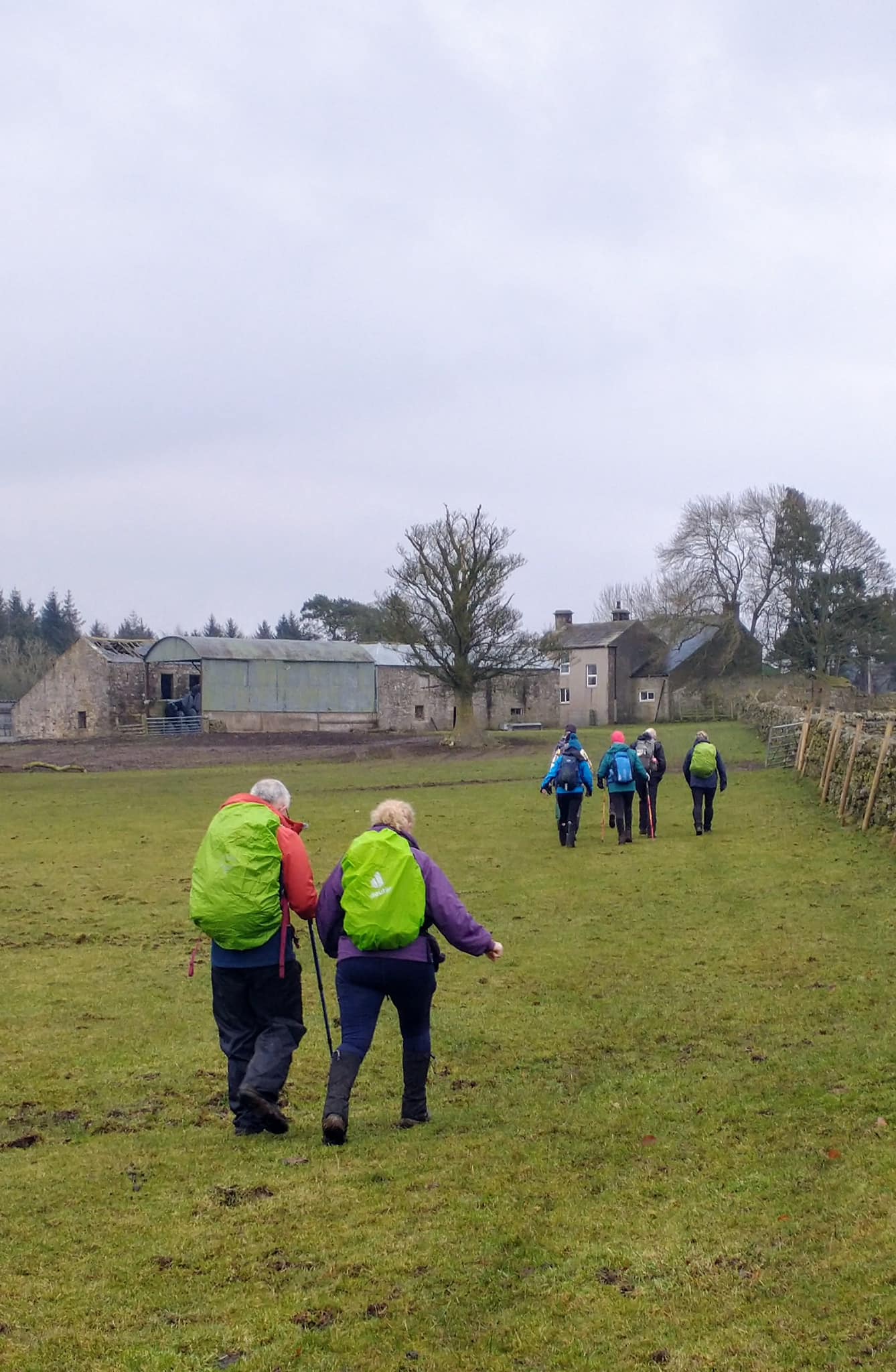
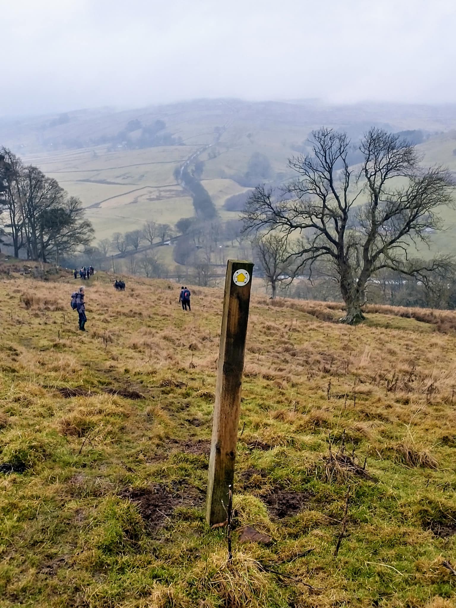
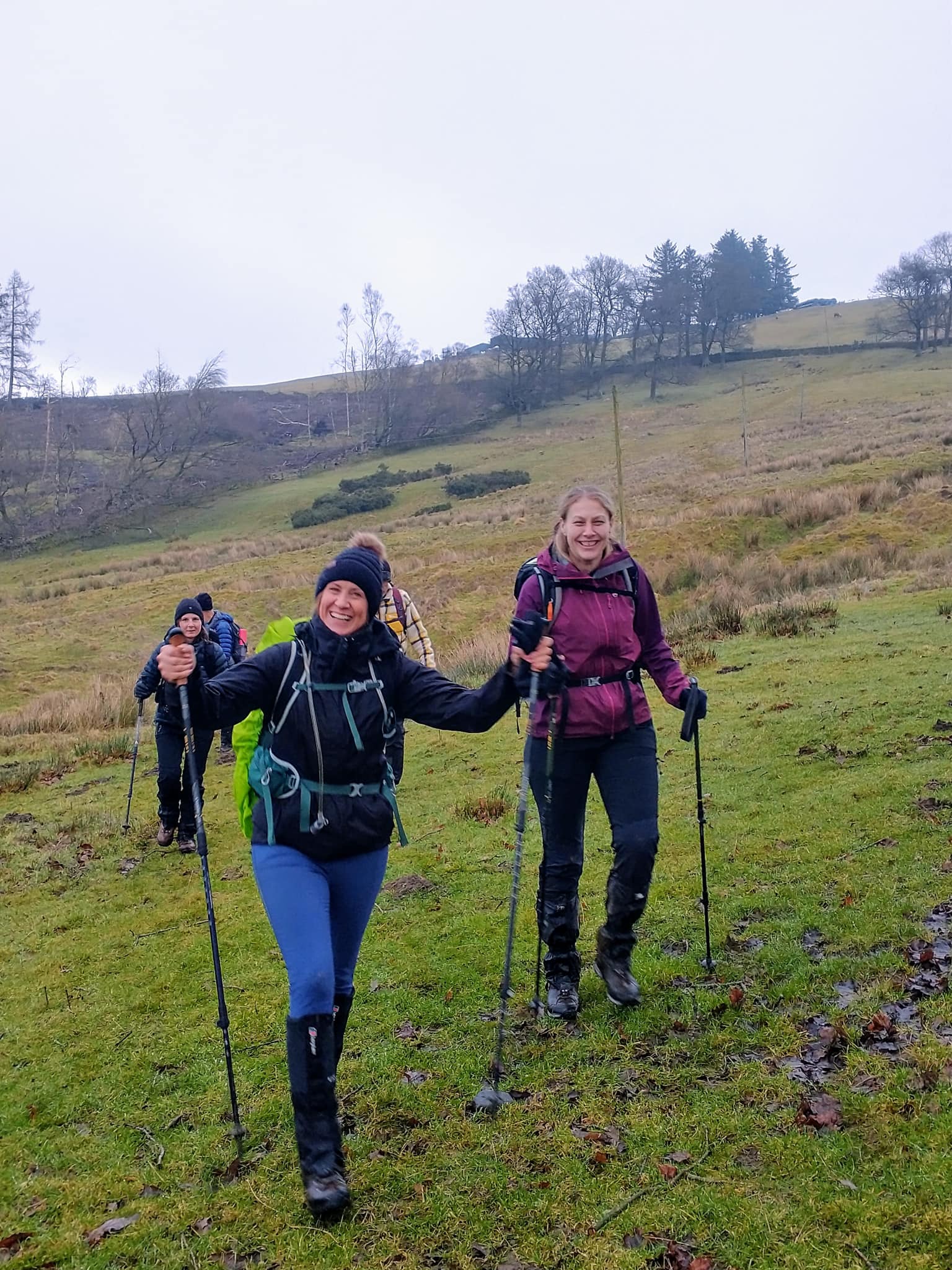
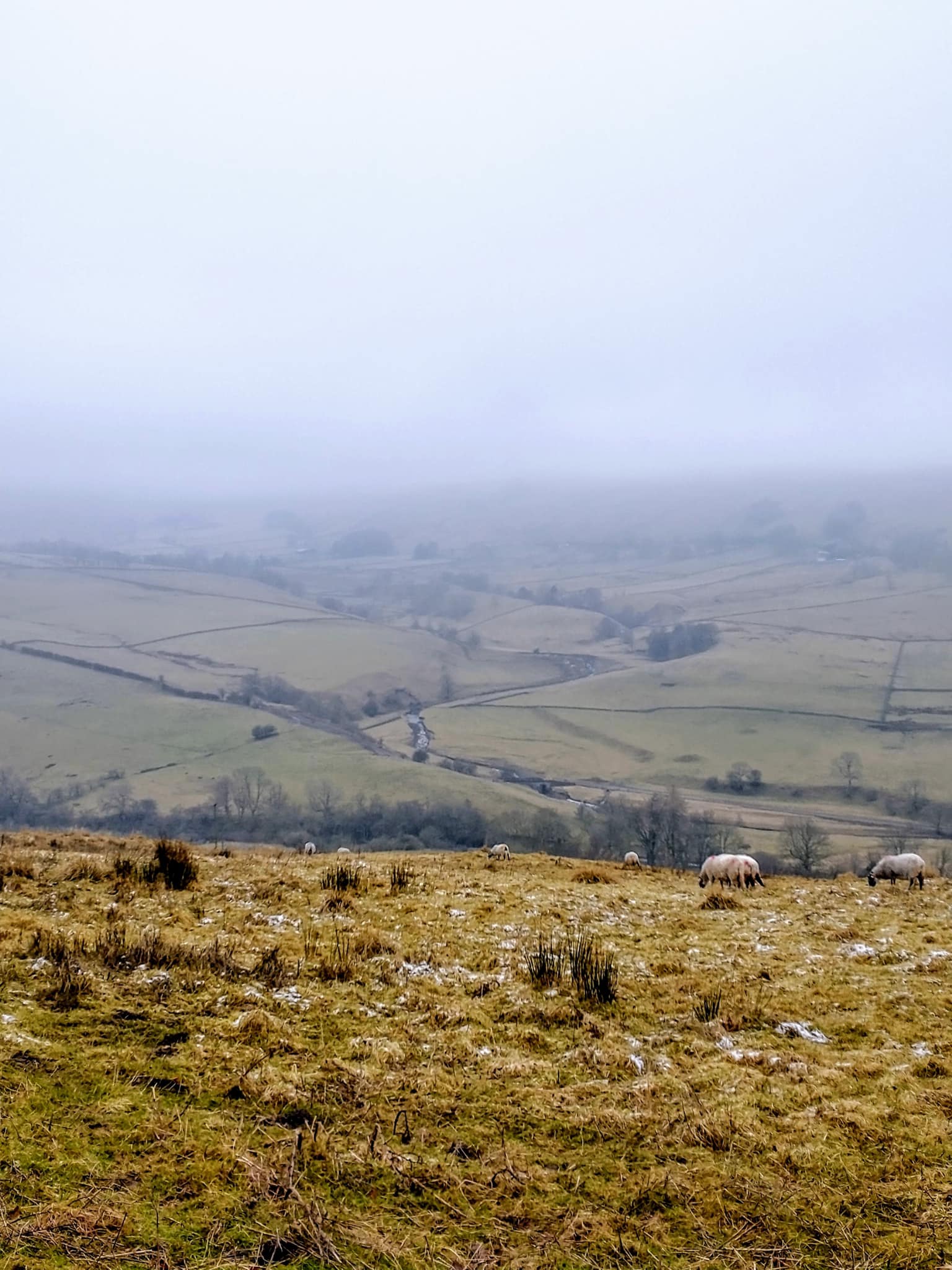
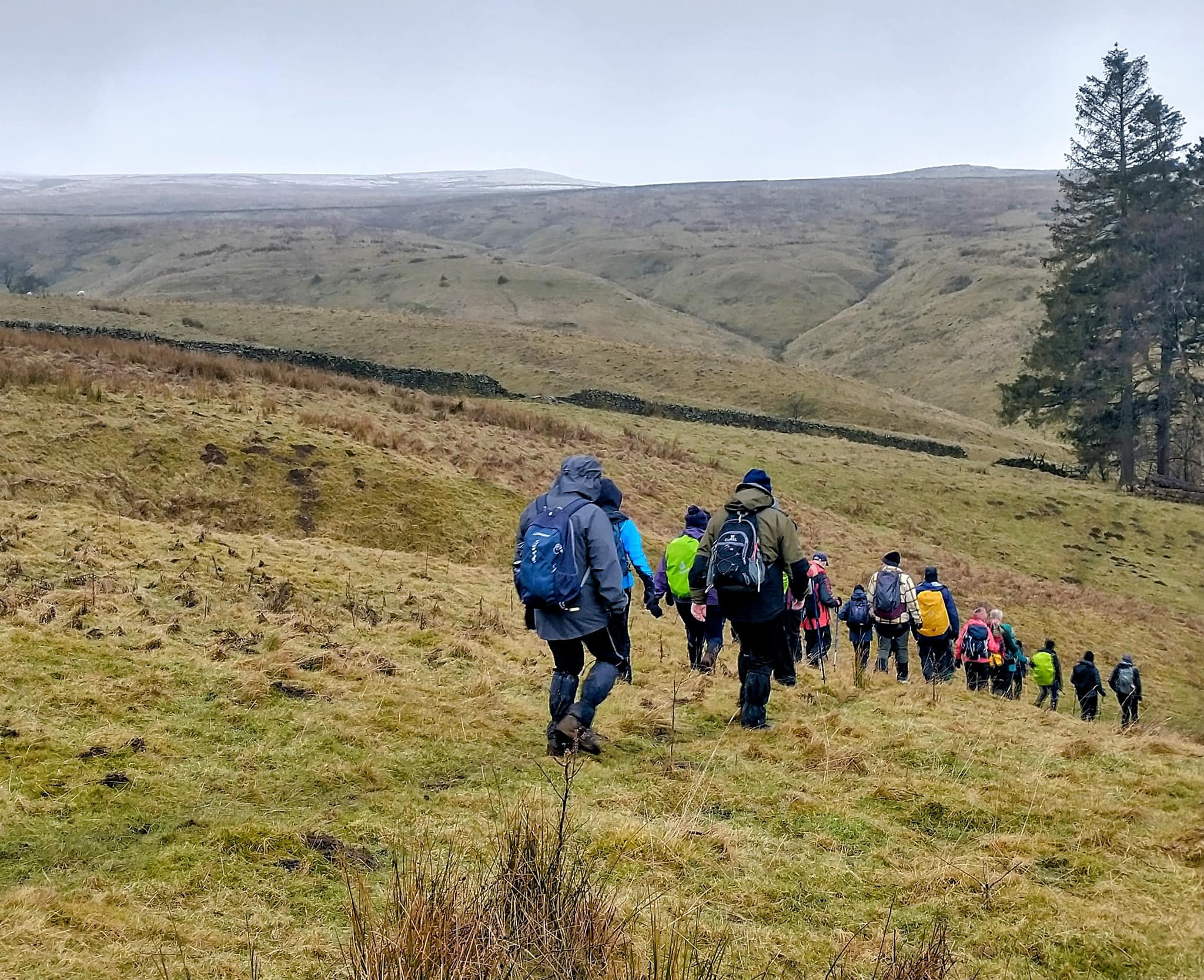
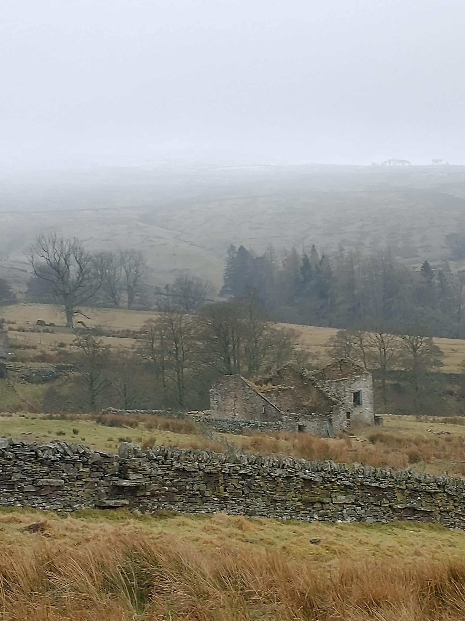
23 walkers joined the walk which was a good turnout as the weather forecast was poor. In the end it was overcast, but the wind and sleet did not happen in the end.Other Files
GPX
A GPX file of the above route may be downloaded by clicking the link below.
Note: GPX files of Group Walks are created by LDWA Group members, and may be downloaded only by other LDWA members. They should not be made available outside the LDWA, and are used at members' own risk.
Login to Download (Members Only)You can use the interactive controls to zoom in and out and to move around the map, or click on a path or a marker for more info. (interactive map help)
You can use the interactive controls to zoom in and out and to move around the map, or click on a path or a marker for more info. (interactive map help)
Contains Ordnance Survey data © Crown copyright and database right 2016.
© OpenStreetMap contributors under Open Database Licence
Rights of way data from selected Local Authorities
Large scale digital mapping is provided by John Thorn
At high zoom levels the route is indicative only.
© OpenStreetMap contributors under Open Database Licence
Rights of way data from selected Local Authorities
Large scale digital mapping is provided by John Thorn
At high zoom levels the route is indicative only.
Gallery
.jpg)
Maps:
You can use the interactive controls to zoom in and out and to move around the map, or click on a marker for more info. (interactive map help)
Contains Ordnance Survey data © Crown copyright and database right 2016.
© OpenStreetMap contributors under Open Database Licence.
Rights of way data from selected Local Authorities.
Large scale digital mapping is provided by John Thorn.
© OpenStreetMap contributors under Open Database Licence.
Rights of way data from selected Local Authorities.
Large scale digital mapping is provided by John Thorn.







