
Knee Bother
Sat 22nd Feb 2025
Walk Details:
Event Type
Group Walk
Region / Area
Northern England / Northern England/Tyne
Local Group
Northumbria
Distance
15ml.
Start Time
09.00
Route
(Meet at Winlaton c.p.. Post Code: NE21 6DB. Grid Reference: NZ174623
Circular route: Winlaton, Blaydon Burn, Greenside, Hagg Bank, Wylam, Newburn)
Circular route: Winlaton, Blaydon Burn, Greenside, Hagg Bank, Wylam, Newburn)
General Notes
This is one of our shorter walks which will be done at a leisurely pace of about 2 mph. Leader - John Scott
Web Site
Start

Finish
Entry Details:
Cost
Walk Report
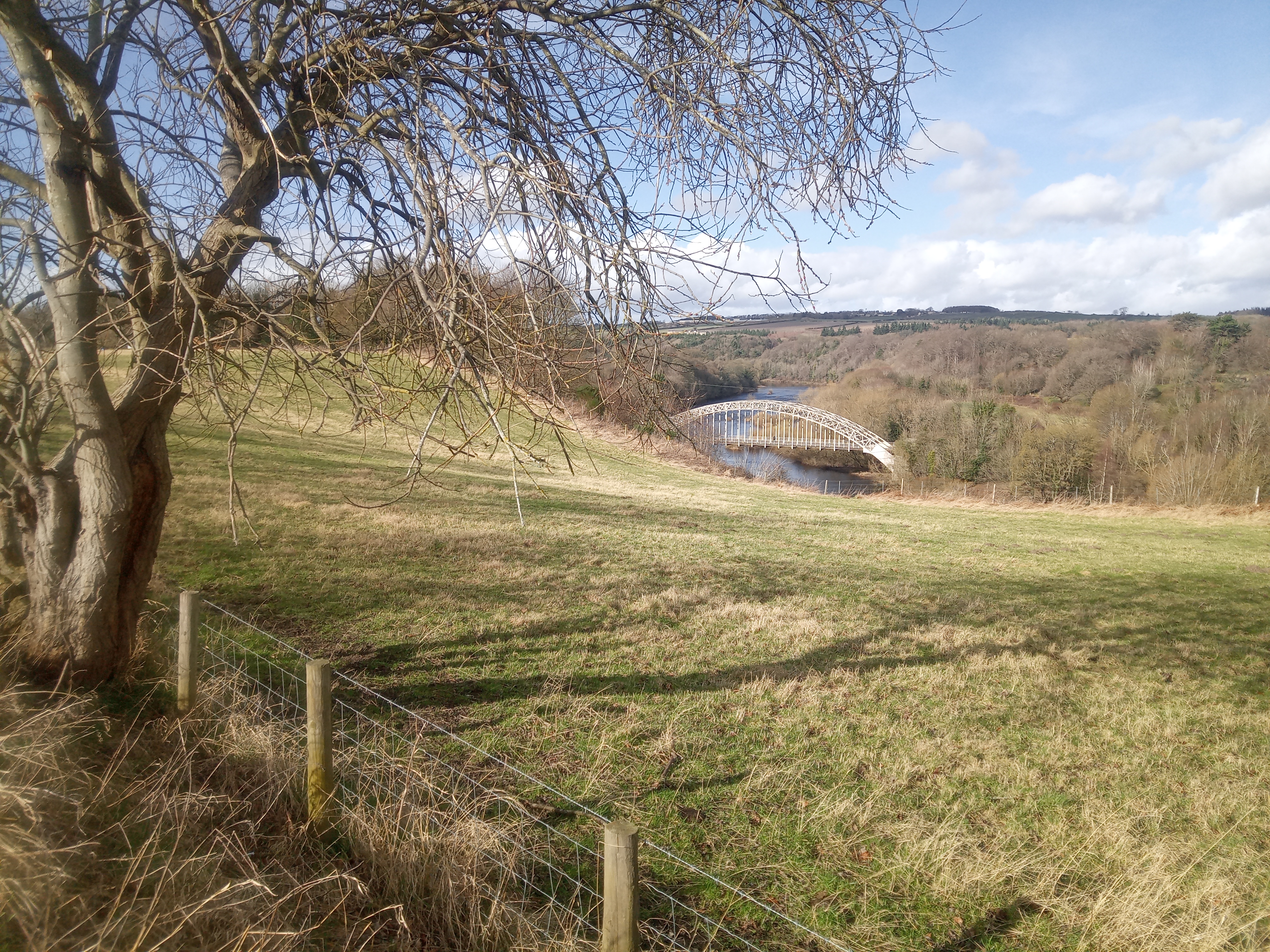
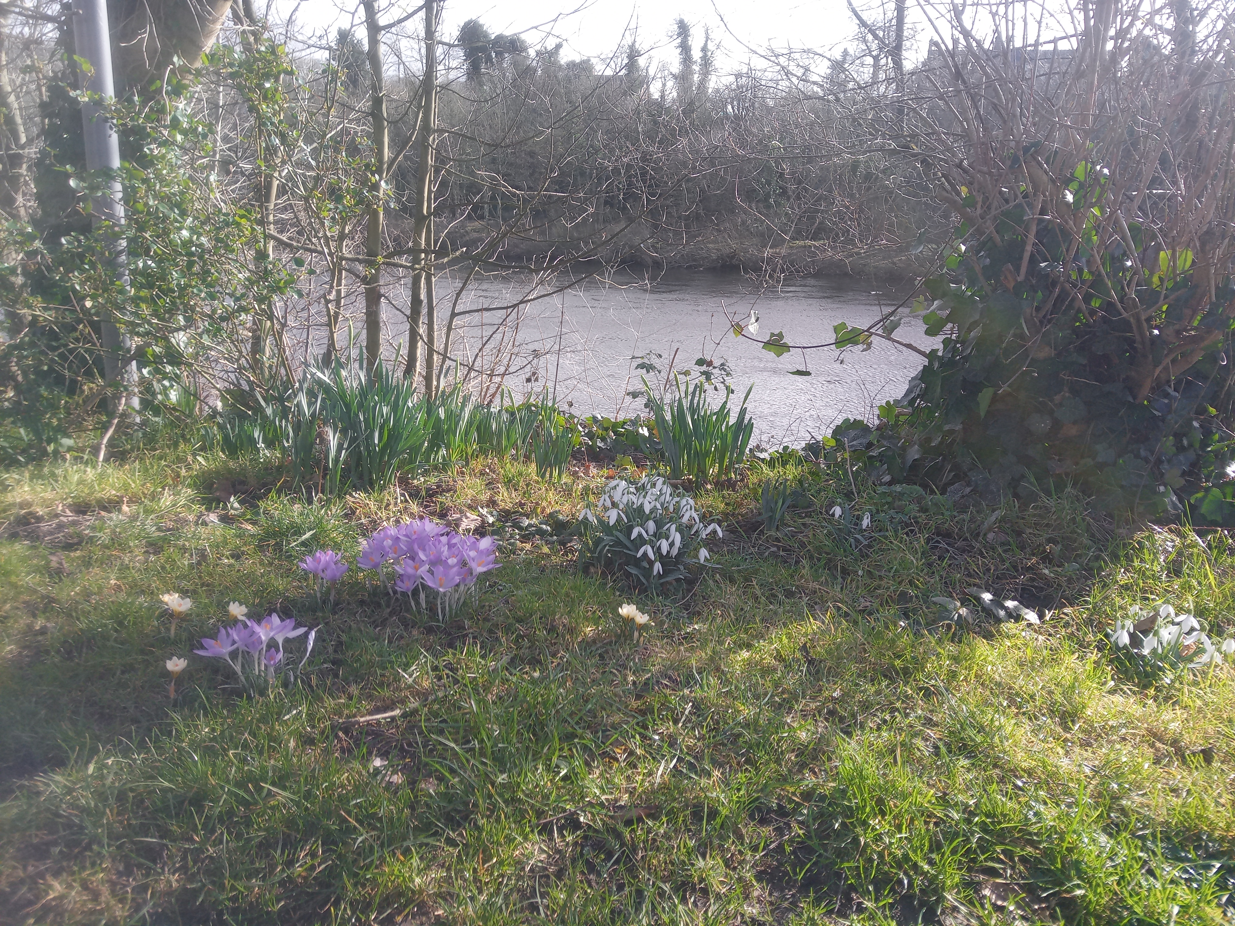
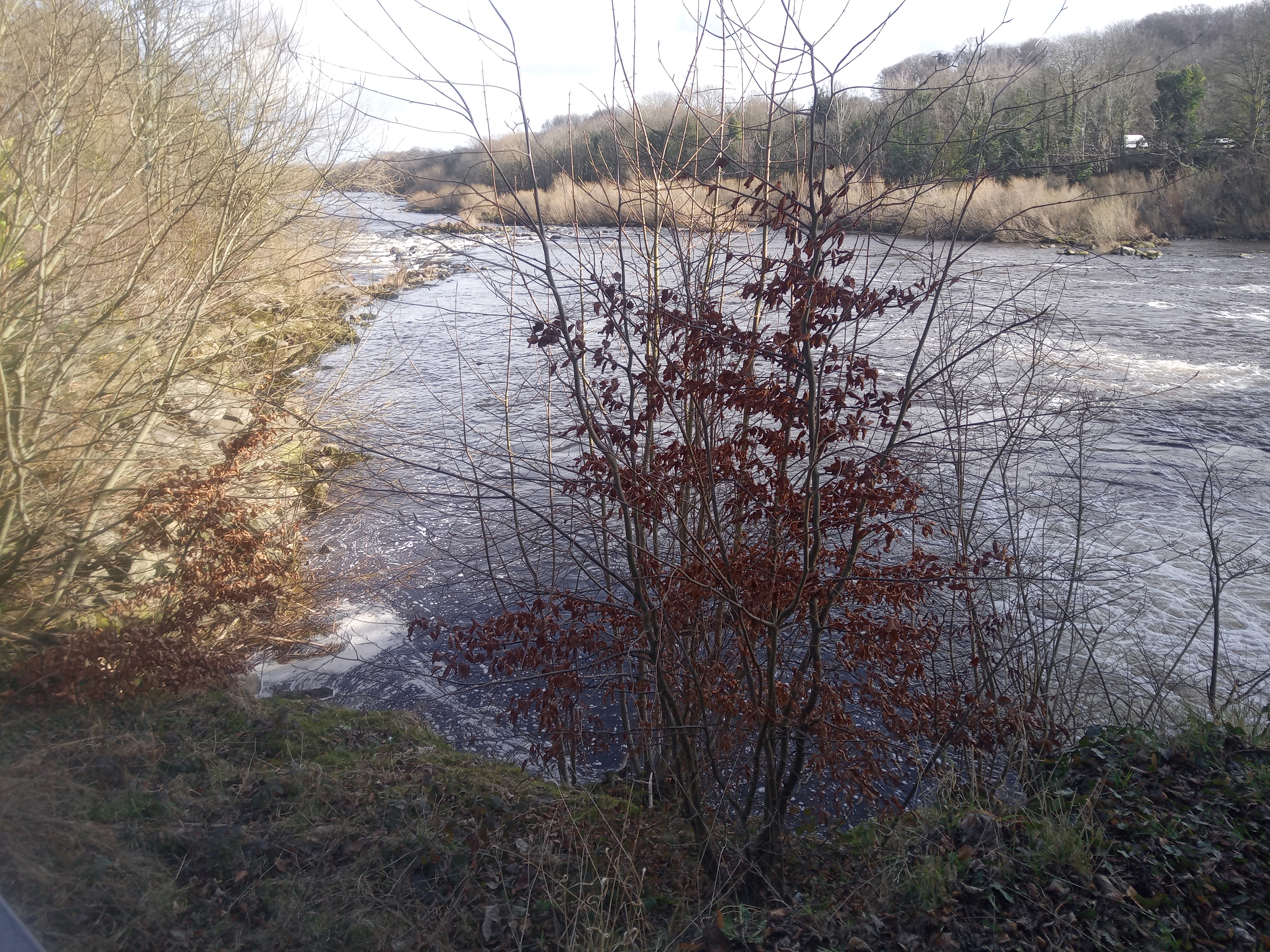
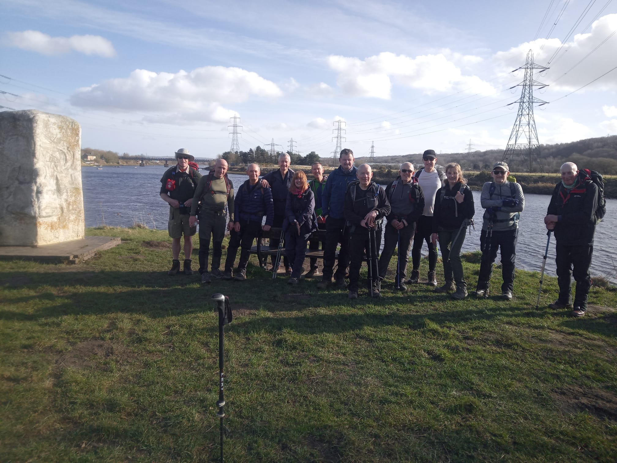
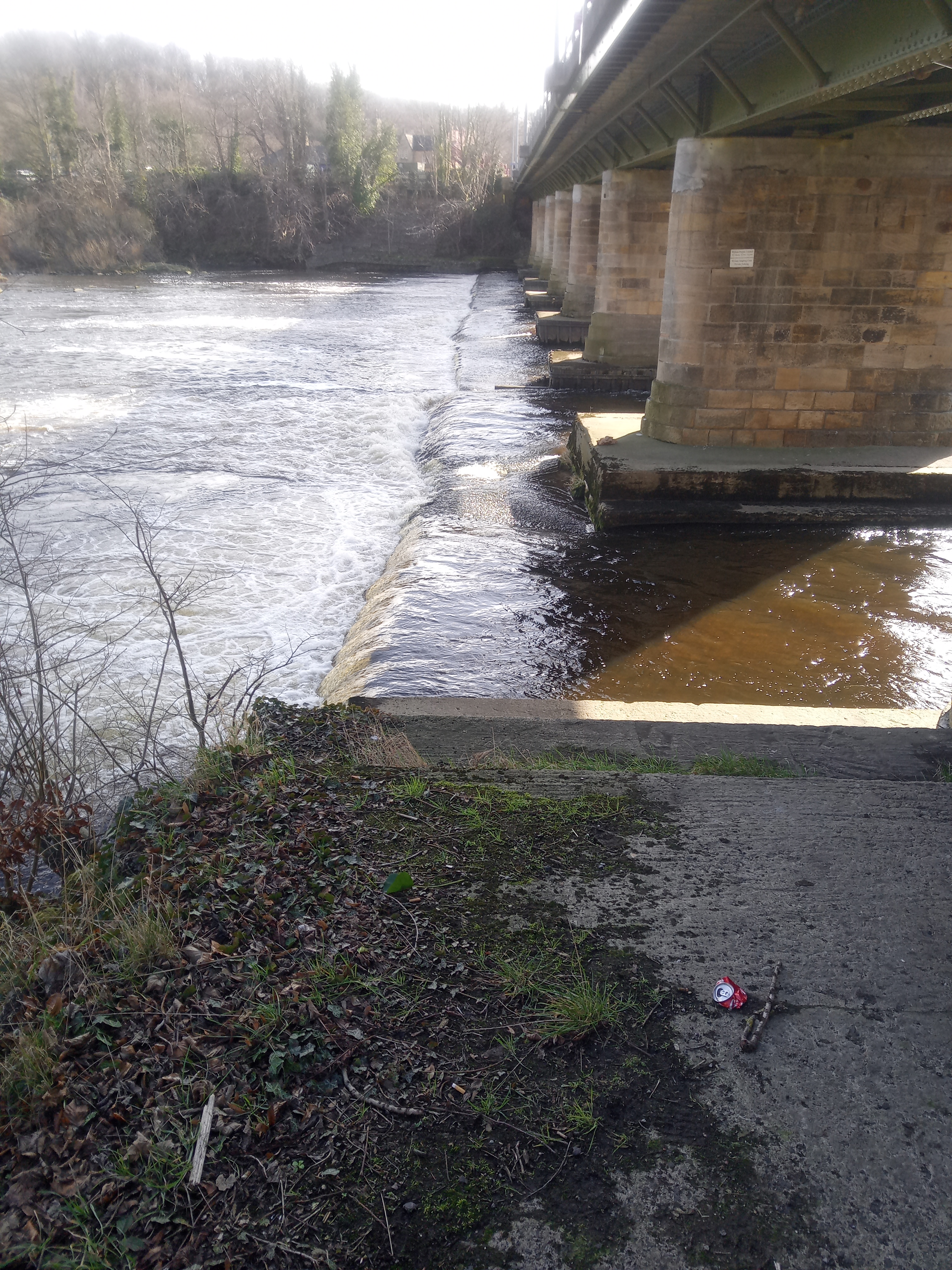
16 walkers joined this circular walk of 15 miles, led by John SCott, at a leisurely speed of 2mph. A very pleasant walk, across meadows and along the Tyne in warm winter sunshine. Crocuses and snowdrops all in bloom - Spring is on its way. Lots of supporters along the river for the British University and Colleges Sports boat race, making it feel as if Newburn was the rowing capital!Other Files
GPX
A GPX file of the above route may be downloaded by clicking the link below.
Note: GPX files of Group Walks are created by LDWA Group members, and may be downloaded only by other LDWA members. They should not be made available outside the LDWA, and are used at members' own risk.
Login to Download (Members Only)You can use the interactive controls to zoom in and out and to move around the map, or click on a path or a marker for more info. (interactive map help)
You can use the interactive controls to zoom in and out and to move around the map, or click on a path or a marker for more info. (interactive map help)
Contains Ordnance Survey data © Crown copyright and database right 2016.
© OpenStreetMap contributors under Open Database Licence
Rights of way data from selected Local Authorities
Large scale digital mapping is provided by John Thorn
At high zoom levels the route is indicative only.
© OpenStreetMap contributors under Open Database Licence
Rights of way data from selected Local Authorities
Large scale digital mapping is provided by John Thorn
At high zoom levels the route is indicative only.
Gallery
Maps:
You can use the interactive controls to zoom in and out and to move around the map, or click on a marker for more info. (interactive map help)
Contains Ordnance Survey data © Crown copyright and database right 2016.
© OpenStreetMap contributors under Open Database Licence.
Rights of way data from selected Local Authorities.
Large scale digital mapping is provided by John Thorn.
© OpenStreetMap contributors under Open Database Licence.
Rights of way data from selected Local Authorities.
Large scale digital mapping is provided by John Thorn.







