
Durham Dales Challenge Marshalls Walk 30 miles
Sat 11th May 2024
Walk Details:
Event Details Updated
The Demesne c.p. is now a fee paying car park. The parking and start of the walk will now be from Wolsingham Station c.p. (grid reference NZ076369). From central Wolsingham take the Hamsterley Forest Road. Just after crossing the Wolsingham Bridge over the Wear turn left and the Railway Station car park is about 200 metres on the right.
Event Type
Group Walk
Region / Area
Northern England / Durham Dales
Local Group
Northumbria
Distance
30ml.
Start Time
08:00am
Route
Start and free parking at the Demesne Mill c.p Wolsingham, DL13 3DG The purpose of this walk is to finalise the route, route description & gpx files for the 2024 Durham Dales Challenge Event. It is also an opportunity for those who will be helping out on the actual event to do the walk themselves. I would anticipate that the walk will take in the region of 12 hours to complete
General Notes
Please note that this year the marshalls walks for both the 30 & 14 mile routes are taking place on the same date. However starting times are different. So choose which one to do. Also remember the annual photo competition, the best photo on the marshalls walks will make it's way onto the certificate for the event. Entries to Walks Secretary. Dogs welcome on leads
Web Site
Start

Finish
Entry Details:
Cost
Walk Report
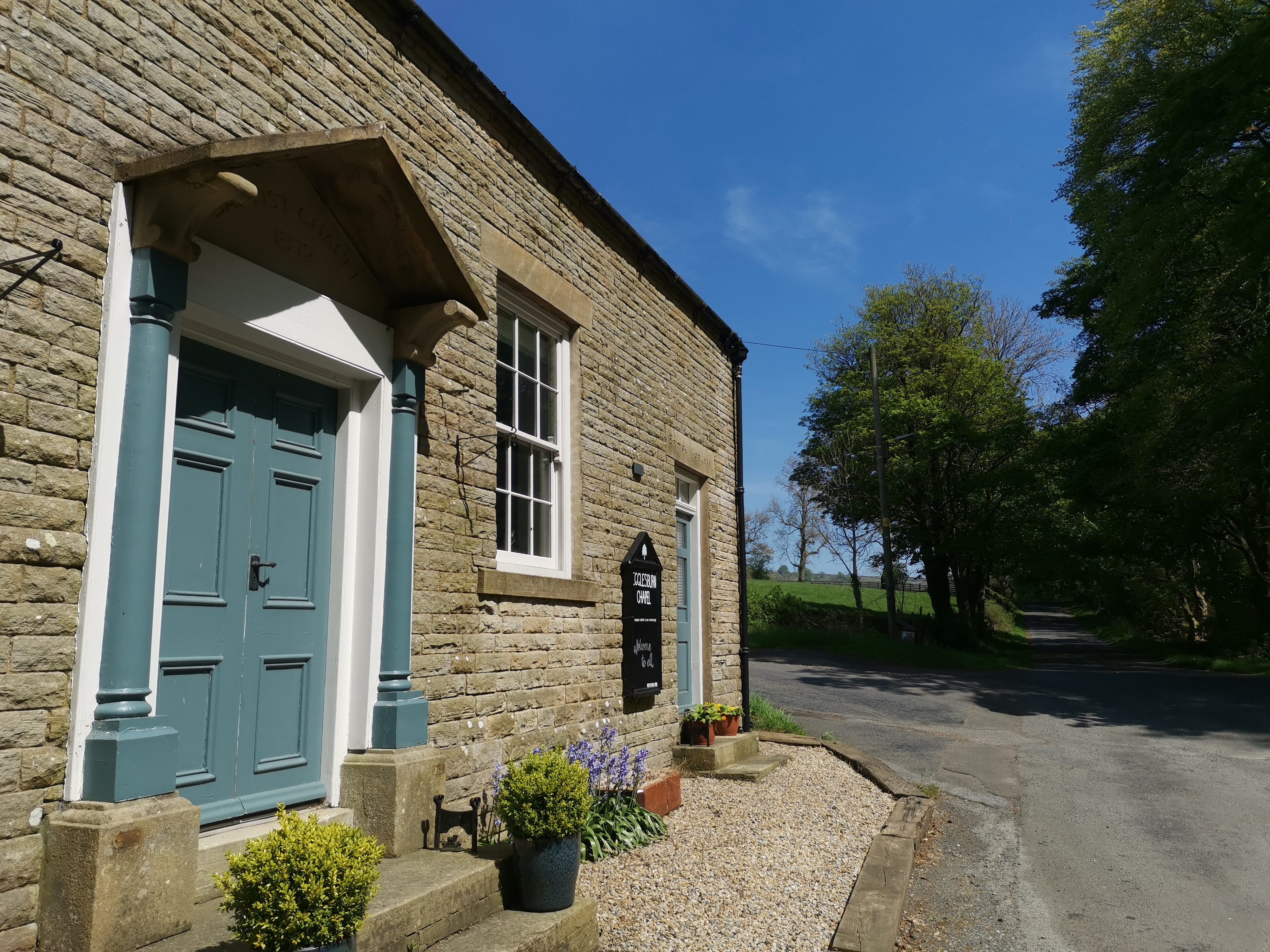
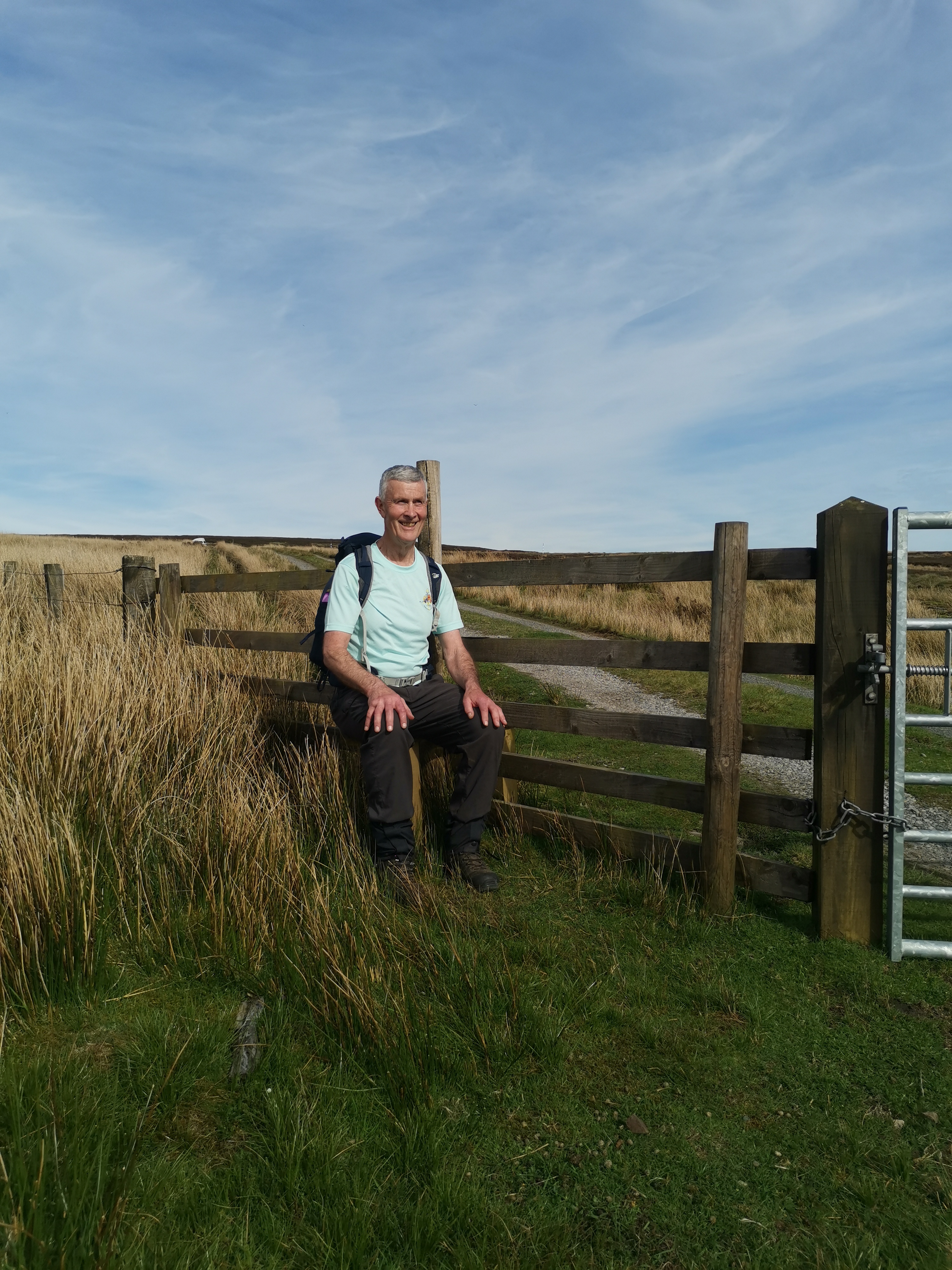
As the Demesne Mill car park has recently changed to a pay and display car park, we changed the parking and start of this Marshall's walk to Wolsingham Station parking area. Gorgeous sunny day. Checked the new route description, written by Anja Huskens as we went around, only minor changes to which will be required for this years event. No significant problems were found on the route which will be essentially the same as last year. Pleasing to see that a step stile as has been put in place by Raby Estates at NY990315 next to the track between Little Eggles Hope Beck and the B6278 so that a climb over the locked gate is no longer necessary; henceforth to be known at Clifton's Step, as is was Dave Clifton that kept on at Raby Estates to install the stile. (Paul Nellist)Other Files
GPX
A GPX file of the above route may be downloaded by clicking the link below.
Note: GPX files of Group Walks are created by LDWA Group members, and may be downloaded only by other LDWA members. They should not be made available outside the LDWA, and are used at members' own risk.
Login to Download (Members Only)You can use the interactive controls to zoom in and out and to move around the map, or click on a path or a marker for more info. (interactive map help)
You can use the interactive controls to zoom in and out and to move around the map, or click on a path or a marker for more info. (interactive map help)
Contains Ordnance Survey data © Crown copyright and database right 2016.
© OpenStreetMap contributors under Open Database Licence
Rights of way data from selected Local Authorities
Large scale digital mapping is provided by John Thorn
At high zoom levels the route is indicative only.
© OpenStreetMap contributors under Open Database Licence
Rights of way data from selected Local Authorities
Large scale digital mapping is provided by John Thorn
At high zoom levels the route is indicative only.
Gallery
Maps:
You can use the interactive controls to zoom in and out and to move around the map, or click on a marker for more info. (interactive map help)
Contains Ordnance Survey data © Crown copyright and database right 2016.
© OpenStreetMap contributors under Open Database Licence.
Rights of way data from selected Local Authorities.
Large scale digital mapping is provided by John Thorn.
© OpenStreetMap contributors under Open Database Licence.
Rights of way data from selected Local Authorities.
Large scale digital mapping is provided by John Thorn.







