
Ding Dong - You're Not Wrong
Sat 26th Nov 2022
Walk Details:
Event Type
Group Walk
Region / Area
Northern England / North Pennines
Local Group
Northumbria
Distance
16ml.
Start Time
8:30am
Route
A circular walk from Allendale Market Square via Catton Beacon, Langley Dam, Allen Banks, including Staward Gorge, returning via Oakpool on Issacs Tea Trail. Start and Finish : NY838558, Postcode NE47 9BD, please park considerately around Market Square or area in front of the school opposite the village hall. Leader - Peter Ford
General Notes
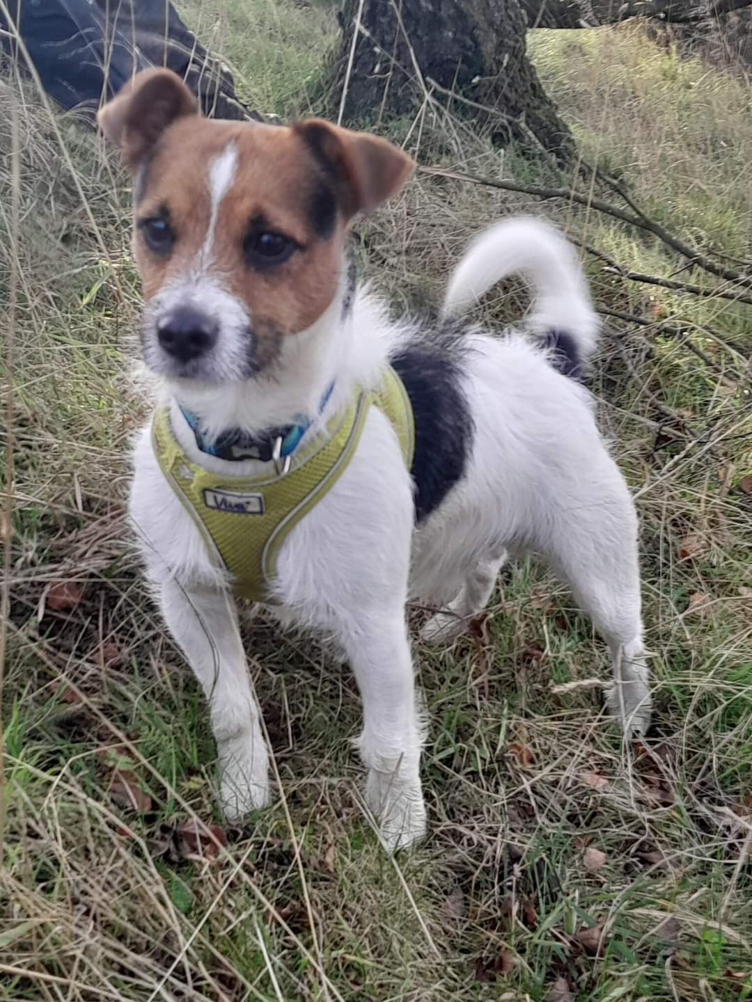
Dogs welcome on leads. drinks afterwards in The Kings Head
Web Site
Start

Finish
Entry Details:
Cost
Walk Report
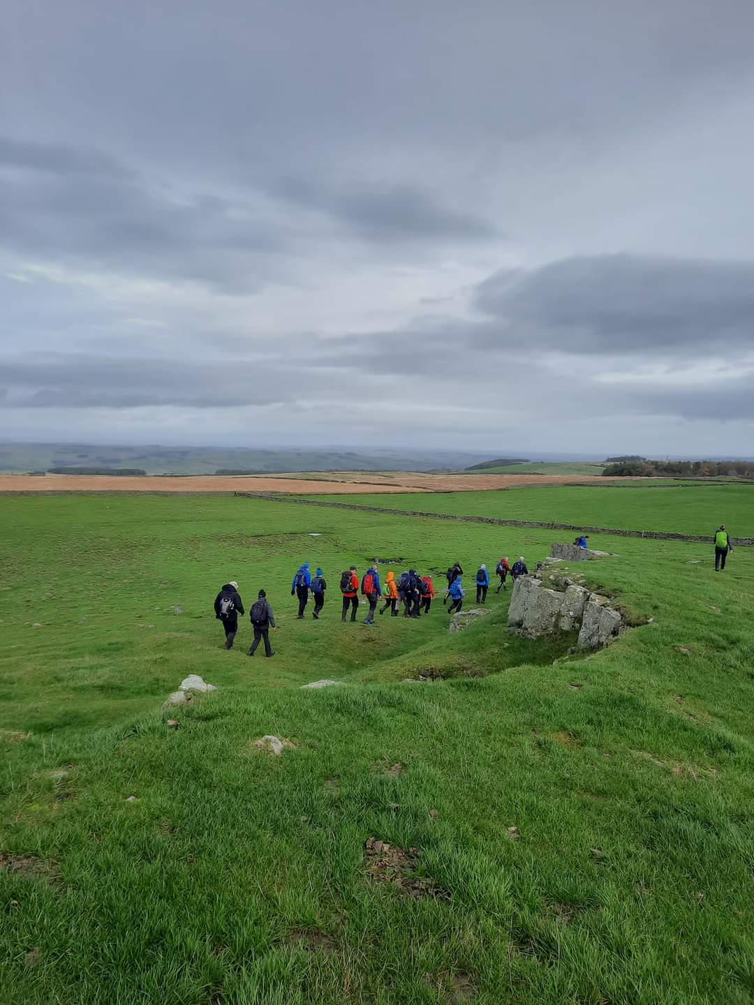
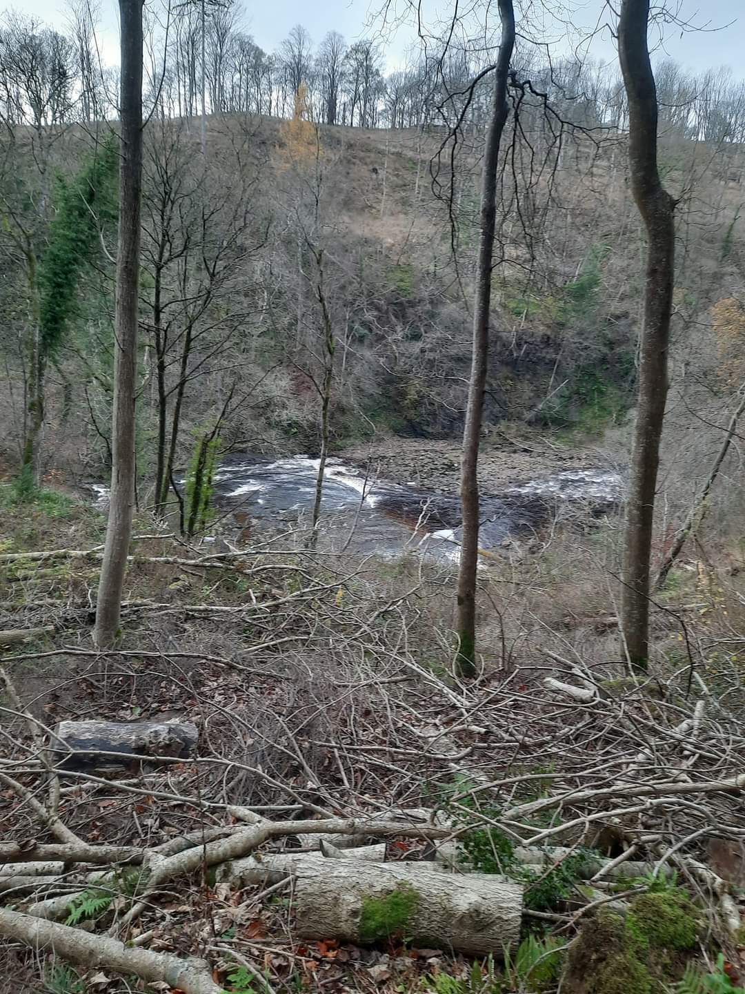
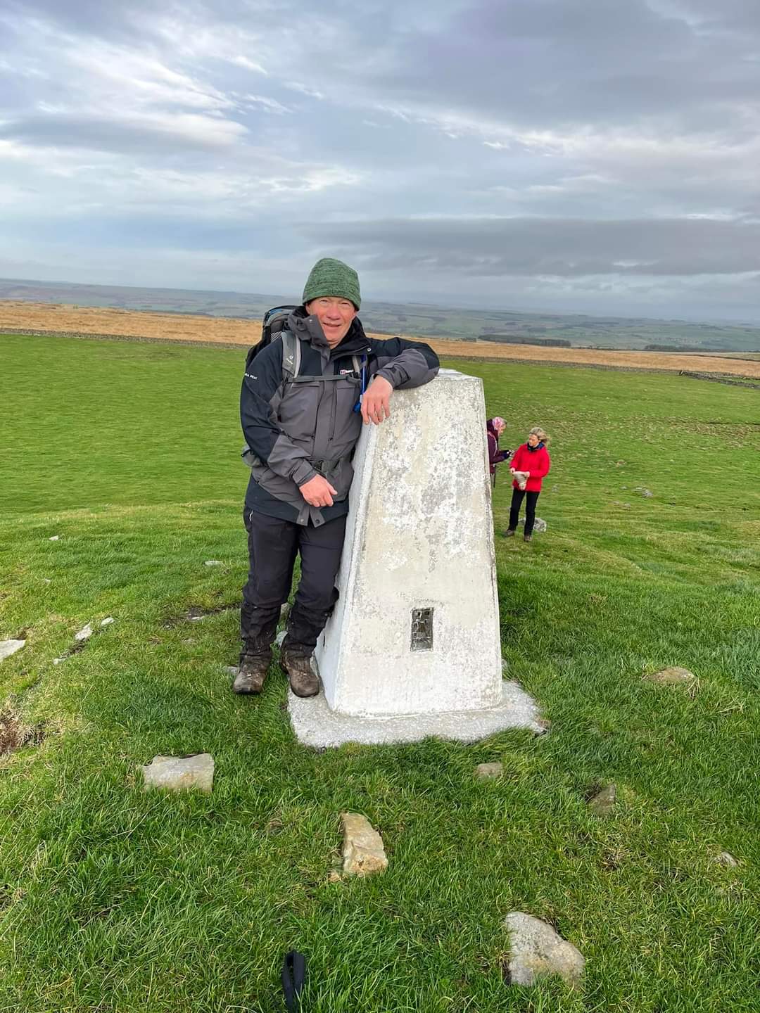
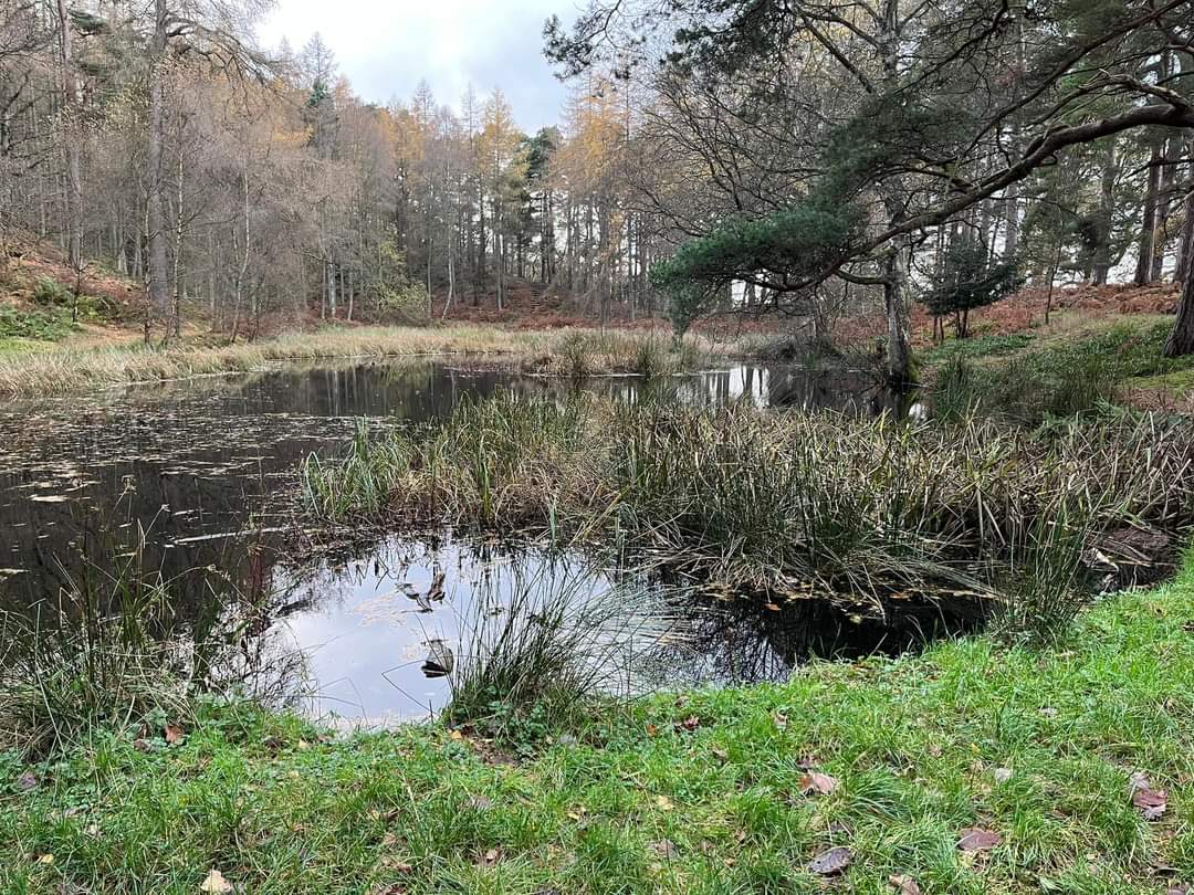
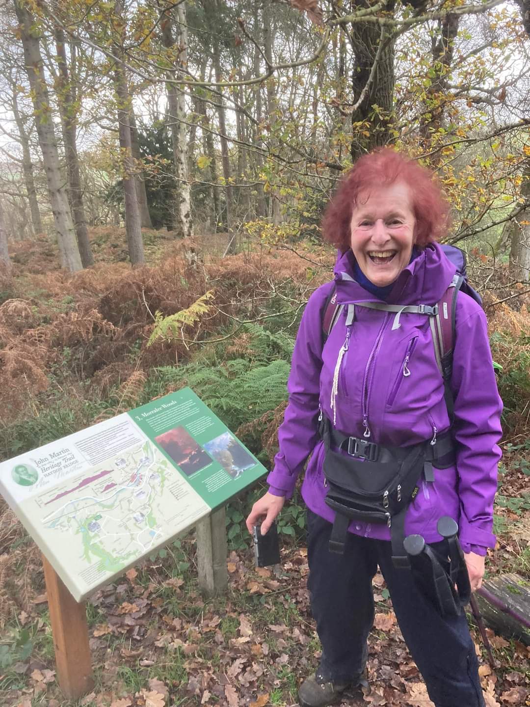
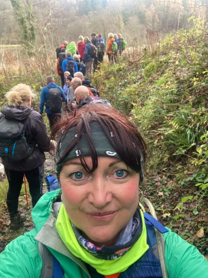
Last Saturday saw 28 of us on a delightfully varied 16 mile circular walk from Allendale Town. We were lucky with the weather. Black clouds threatened but fortunately passed us by, though the constant rain of recent weeks meant a few muddy tracks. On leaving the Market Square we headed north passing the entrance to the Blackett Level started in 1859 in search of lead ore and through Deneholme Wood, once a pleasure garden being transformed in 1905, heading towards Catton Beacon TP and great if hazy long distance views. Following paths and tracks over styles, across pasture and through rough grass we arrived at the lovely location of Langley Dam. Here we sat on the bank overlooking the lake for our first break. The route took us to within 2 1/2 miles of Haydon Bridge with views overlooking the Tyne before. at Lees Farm, we turned west. Along the walk we followed and crossed rivers - the River Allen and River East Allen - and burns, over beautiful arched bridges or stepping stones, through woodland and plantations across the gently undulating landscape typical of this area. The route turned south through Morralee Woods where we paused overlooking a pool, Morralee Tarn I'm presuming, for our lunch stop - another perfect location. On through Allen Banks and Staward Gorge - the site of a stronghold to withstand those troublesome Scots during the 13-14 centuries, before becoming, in 1384, a place of prayer for hermit brothers from the Priory of Hexham. Here we had a final short break before returning via Oakpool, passing the Country House, formerly a bastle/bastille house affording defence against the border reivers, through Oakpool wood and along the last short section of Isaac's Tea Trail leading into Allendale. Our final stop was a little confused - The Kings Head was on the plan. But they having run out of draught beer, many of us ventured into the Golden Lion to quench out thirst and so to banter about the day and future days. Many thanks Peter for organising and leading a brilliant walk and to all fellow walkers for making it another great and memorable day. (Beryl Massey)Other Files
GPX
A GPX file of the above route may be downloaded by clicking the link below.
Note: GPX files of Group Walks are created by LDWA Group members, and may be downloaded only by other LDWA members. They should not be made available outside the LDWA, and are used at members' own risk.
Login to Download (Members Only)You can use the interactive controls to zoom in and out and to move around the map, or click on a path or a marker for more info. (interactive map help)
You can use the interactive controls to zoom in and out and to move around the map, or click on a path or a marker for more info. (interactive map help)
Contains Ordnance Survey data © Crown copyright and database right 2016.
© OpenStreetMap contributors under Open Database Licence
Rights of way data from selected Local Authorities
Large scale digital mapping is provided by John Thorn
At high zoom levels the route is indicative only.
© OpenStreetMap contributors under Open Database Licence
Rights of way data from selected Local Authorities
Large scale digital mapping is provided by John Thorn
At high zoom levels the route is indicative only.
Gallery

Maps:
You can use the interactive controls to zoom in and out and to move around the map, or click on a marker for more info. (interactive map help)
Contains Ordnance Survey data © Crown copyright and database right 2016.
© OpenStreetMap contributors under Open Database Licence.
Rights of way data from selected Local Authorities.
Large scale digital mapping is provided by John Thorn.
© OpenStreetMap contributors under Open Database Licence.
Rights of way data from selected Local Authorities.
Large scale digital mapping is provided by John Thorn.







