


Peckham Spring
Sun 18th Apr 2021
Walk Details:
A fairly flat circular walk passing East Peckham, Peckham Bush , West Peckham & Peckham Place
Entry Details:
Walk Report
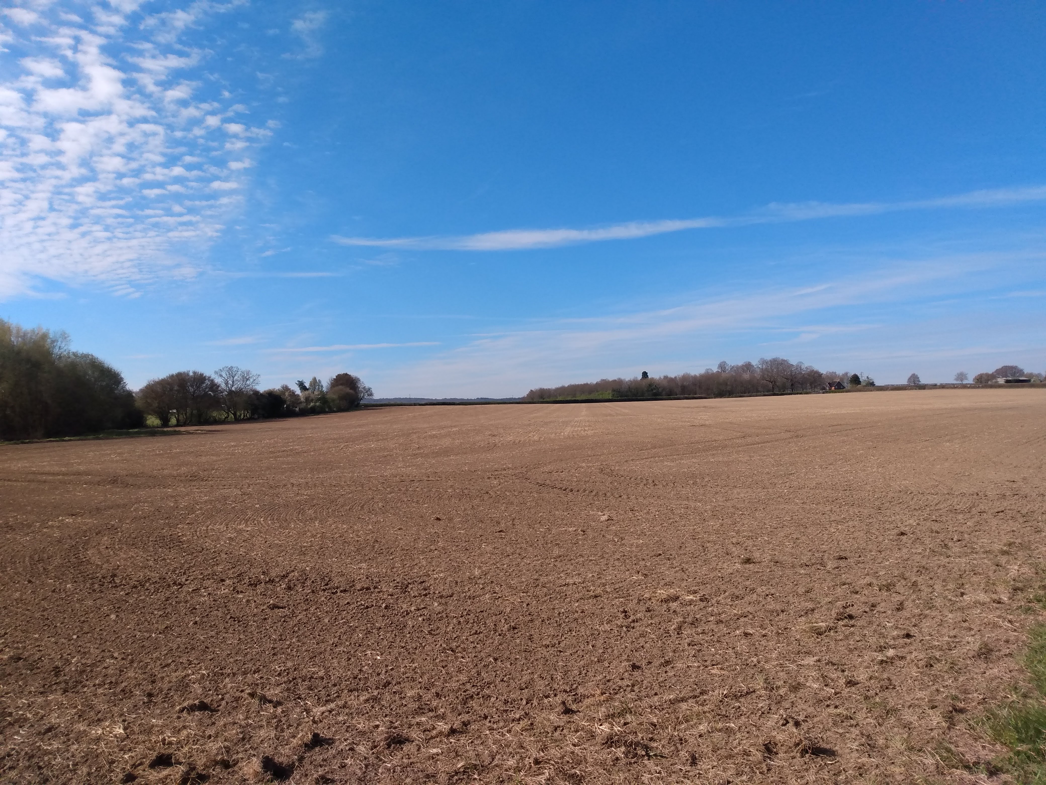
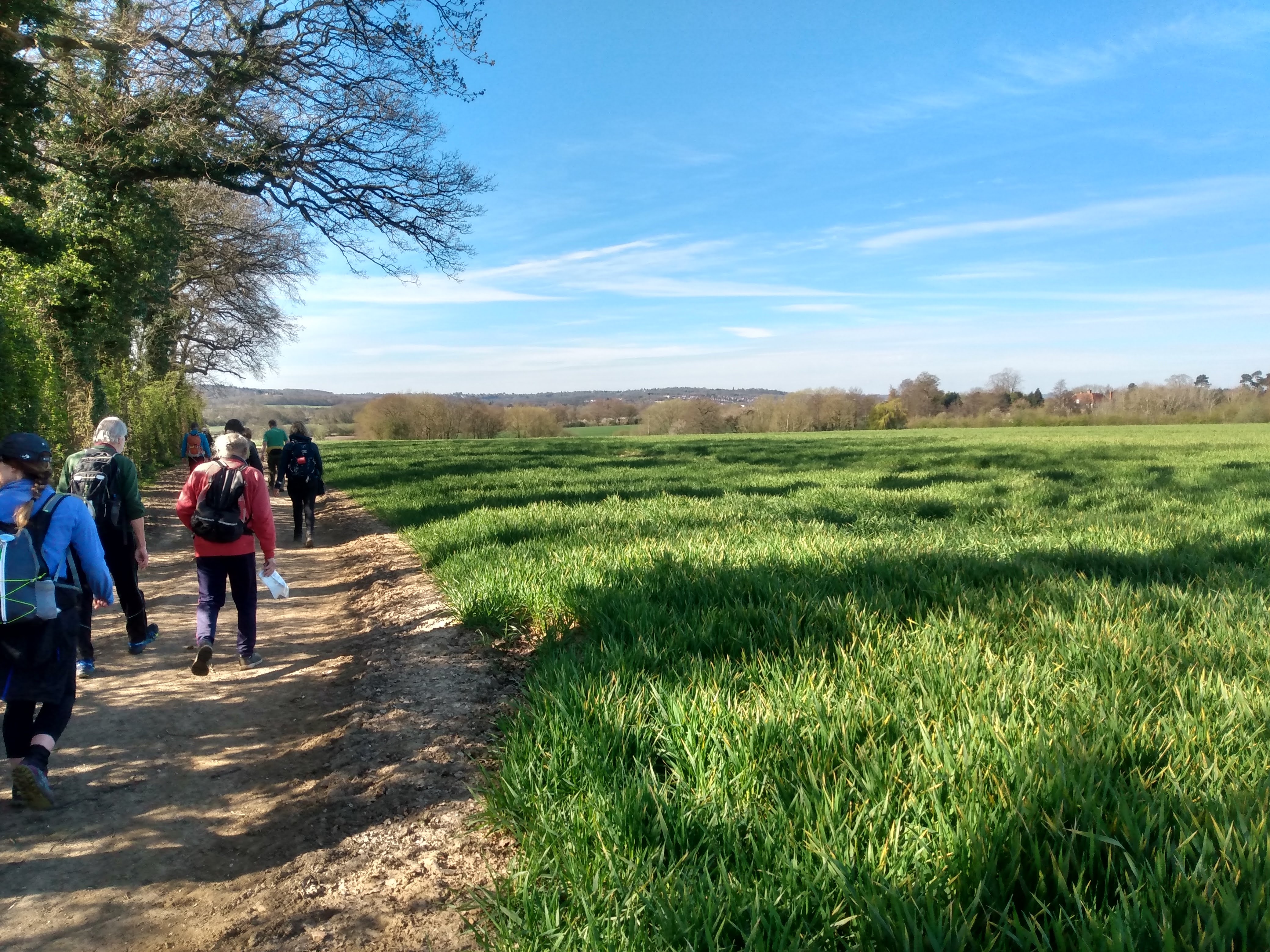
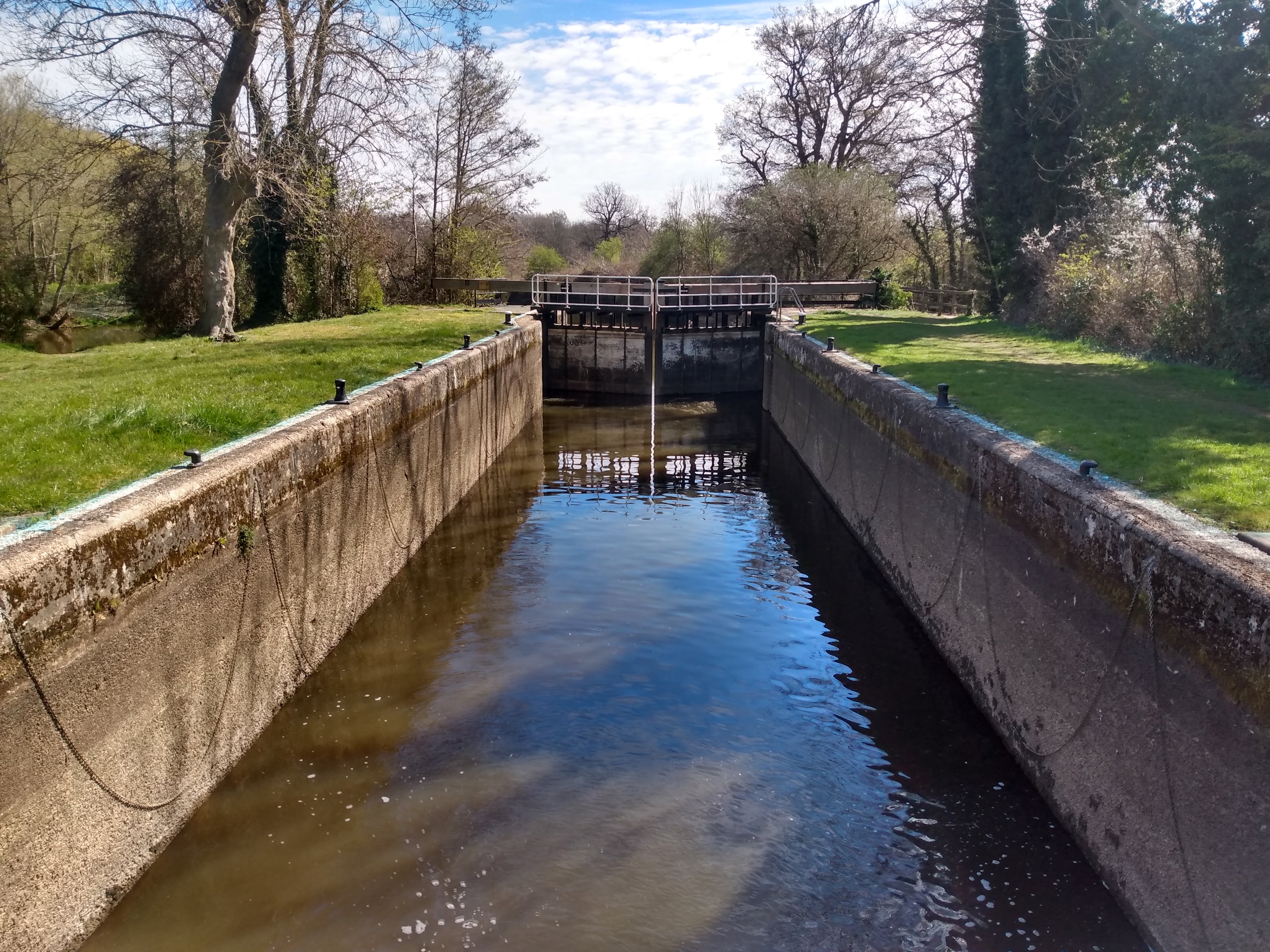
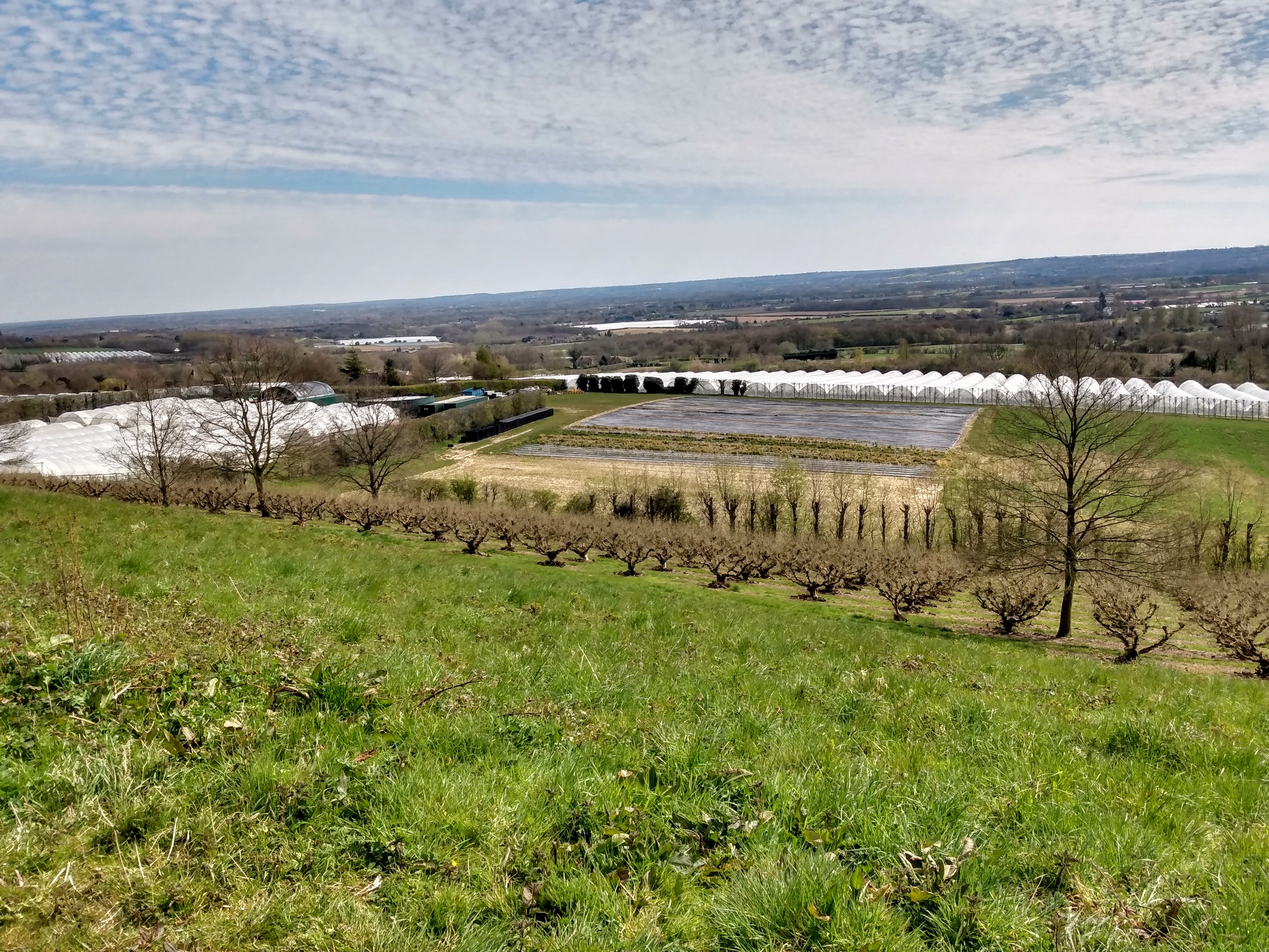
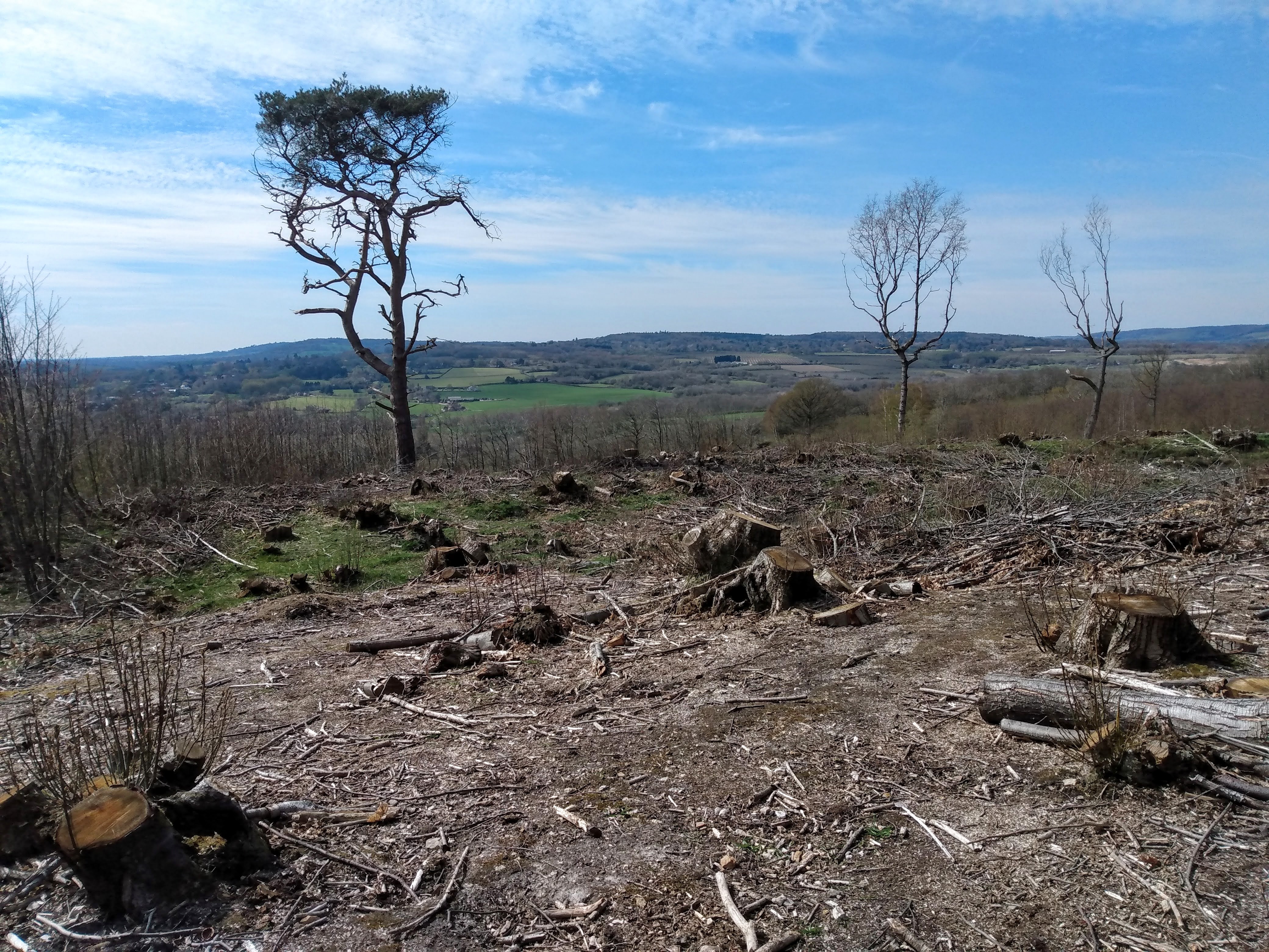
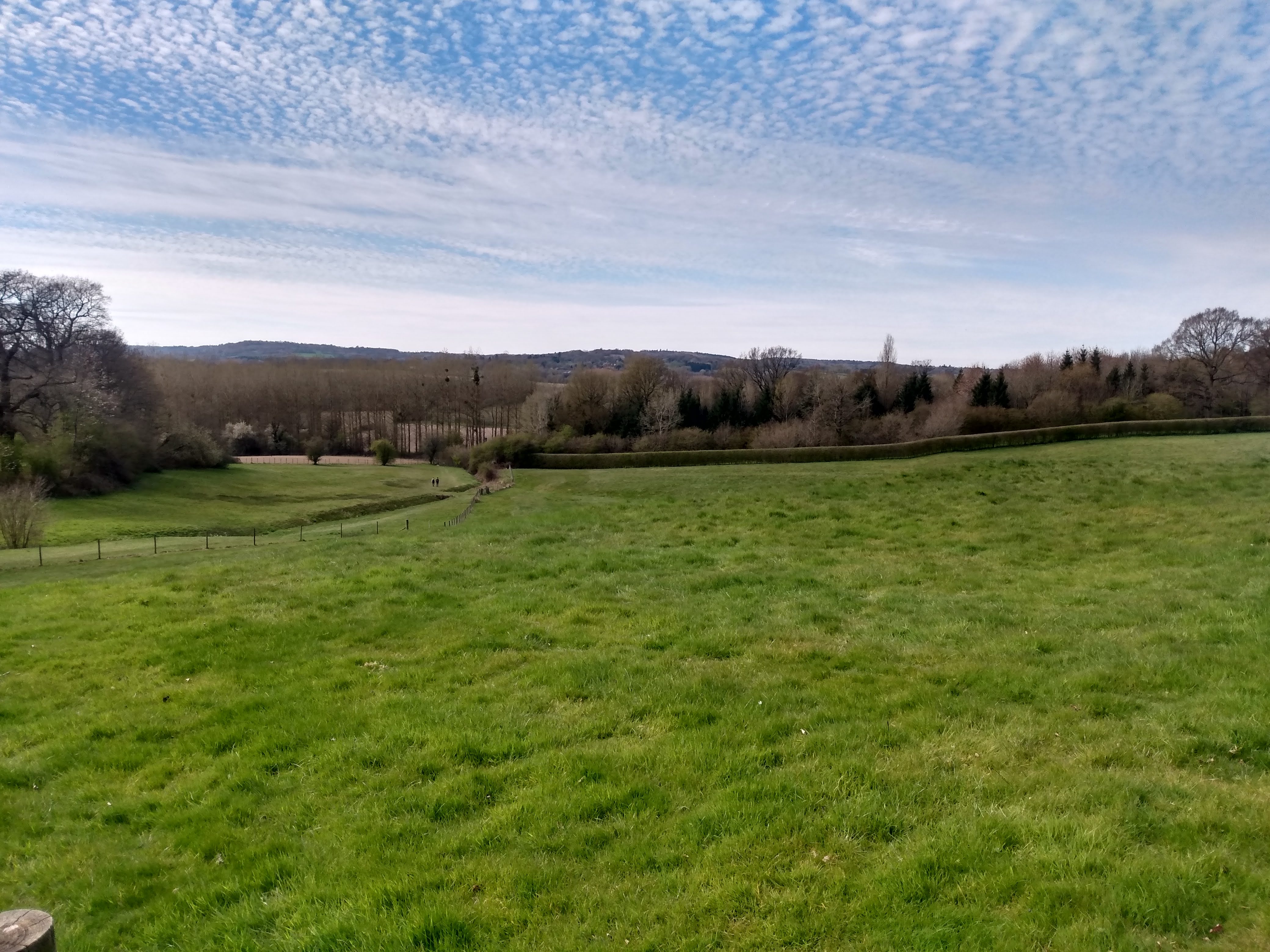
This was the second Group Walk since the latest lockdown was lifted and fifteen walkers enjoyed a lovely and sunny twenty mile circular walk from Hadlow. The morning section was very flat and included parts of the Medway Valley Walk before lunch was taken on the green at West Peckham, with very welcome waitress service from The Swan on the Green. In the afternoon there was some climbing but we were rewarded with some great views over the Medway Valley and further.Other Files
GPX
A GPX file of the above route may be downloaded by clicking the link below.
Note: GPX files of Group Walks are created by LDWA Group members, and may be downloaded only by other LDWA members. They should not be made available outside the LDWA, and are used at members' own risk.
Login to Download (Members Only)You can use the interactive controls to zoom in and out and to move around the map, or click on a path or a marker for more info. (interactive map help)
You can use the interactive controls to zoom in and out and to move around the map, or click on a path or a marker for more info. (interactive map help)
© OpenStreetMap contributors under Open Database Licence
Rights of way data from selected Local Authorities
Large scale digital mapping is provided by John Thorn
At high zoom levels the route is indicative only.
Gallery
Maps:
You can use the interactive controls to zoom in and out and to move around the map, or click on a marker for more info. (interactive map help)
© OpenStreetMap contributors under Open Database Licence.
Rights of way data from selected Local Authorities.
Large scale digital mapping is provided by John Thorn.


