


Loop the Loop
Sun 3rd Nov 2019
Walk Details:
Event Type
Group Walk
Region
Southern England
Local Group
Kent
Distance
17ml.
Start Time
09.00
Route
Newington village hall. CT18 8AU
General Notes
Lunch at Lyminge
Web Site
Start and Finish
Entry Details:
Cost
Walk Report
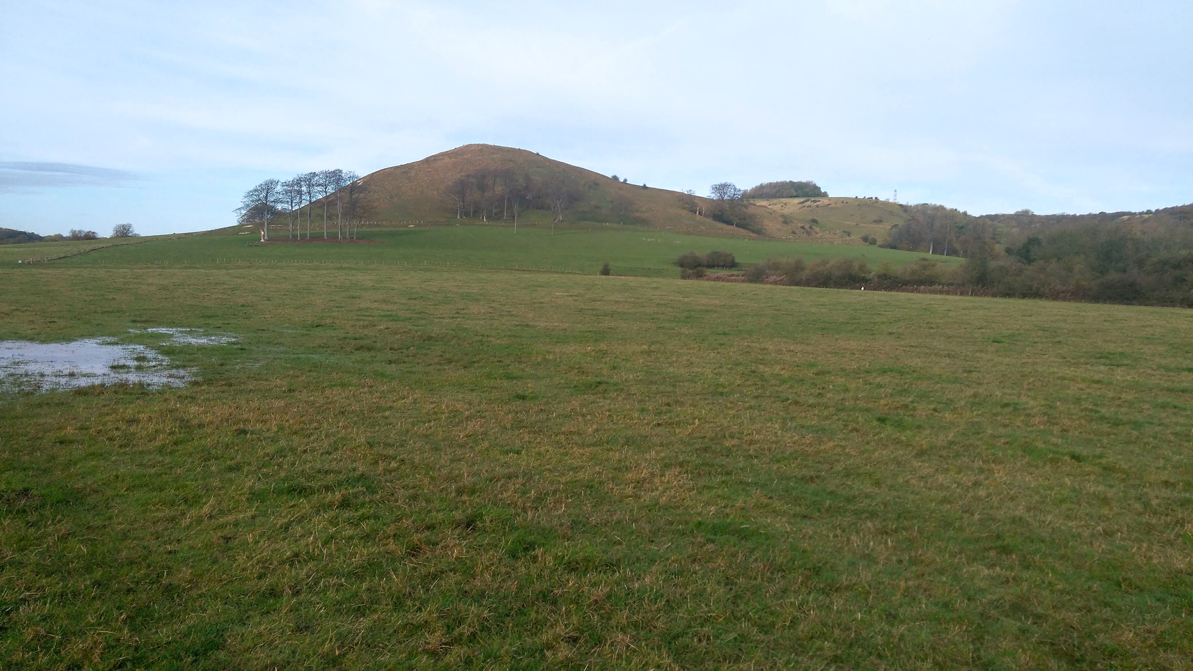
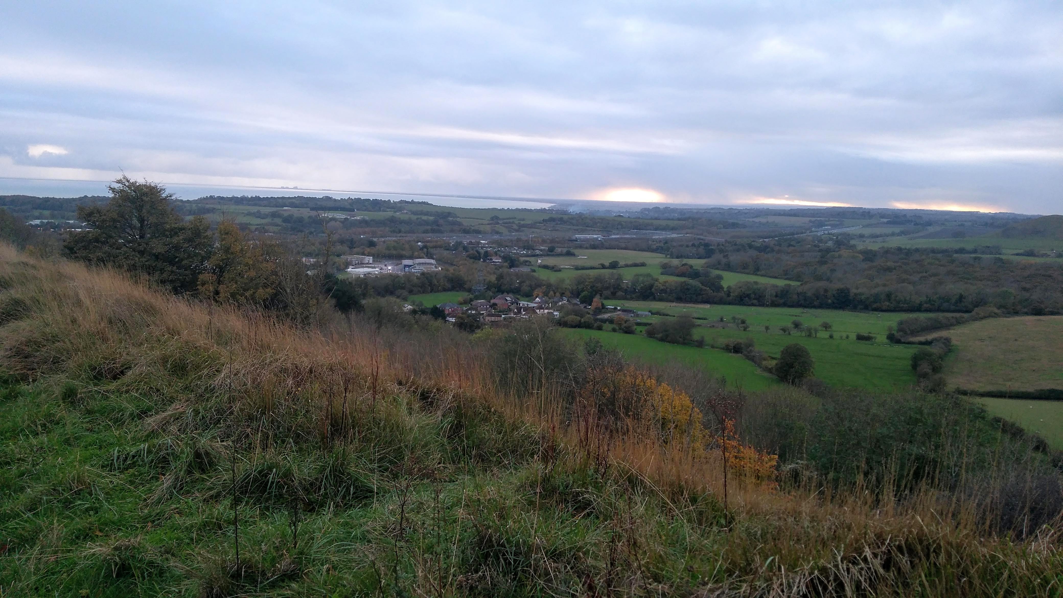
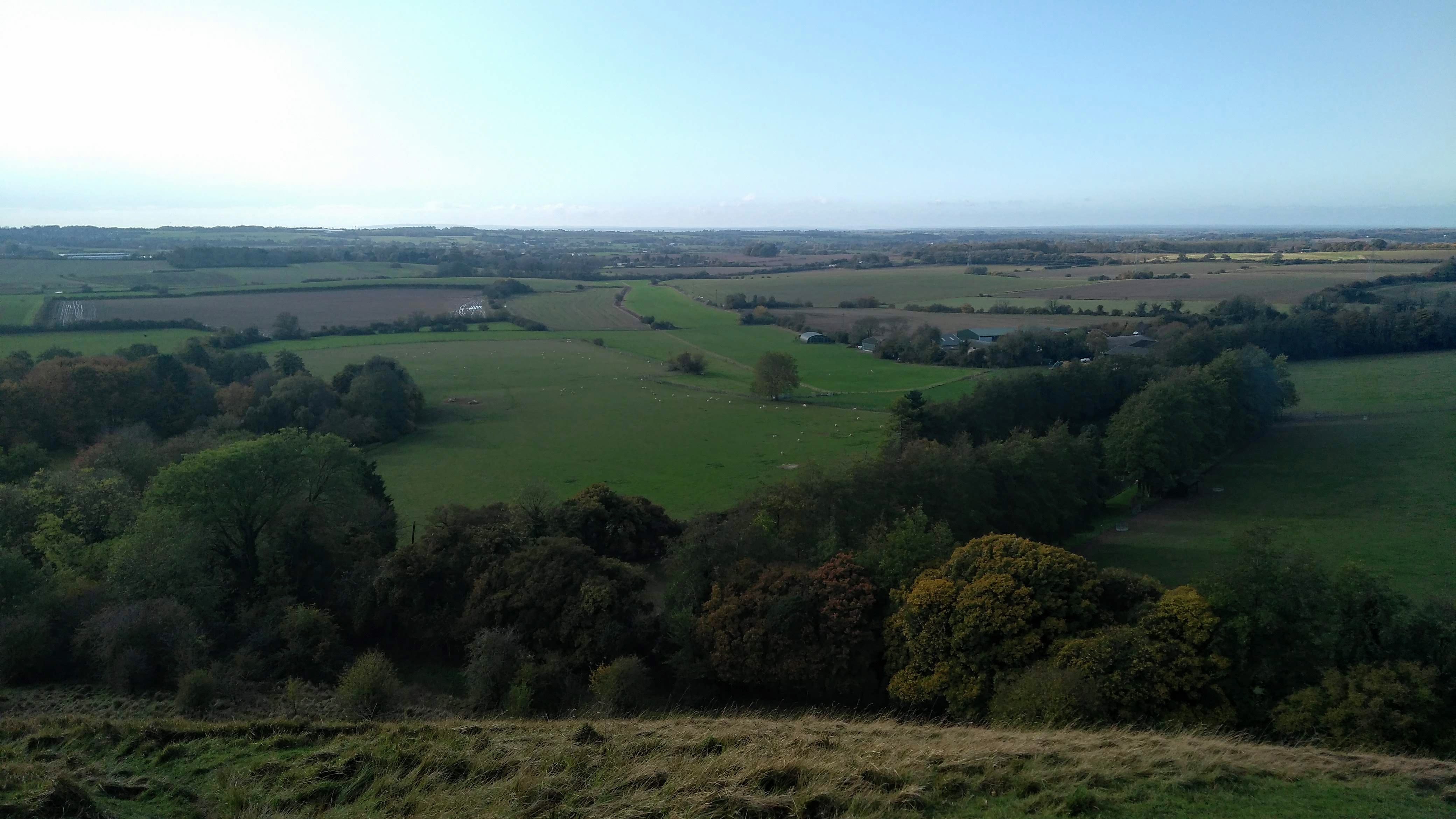
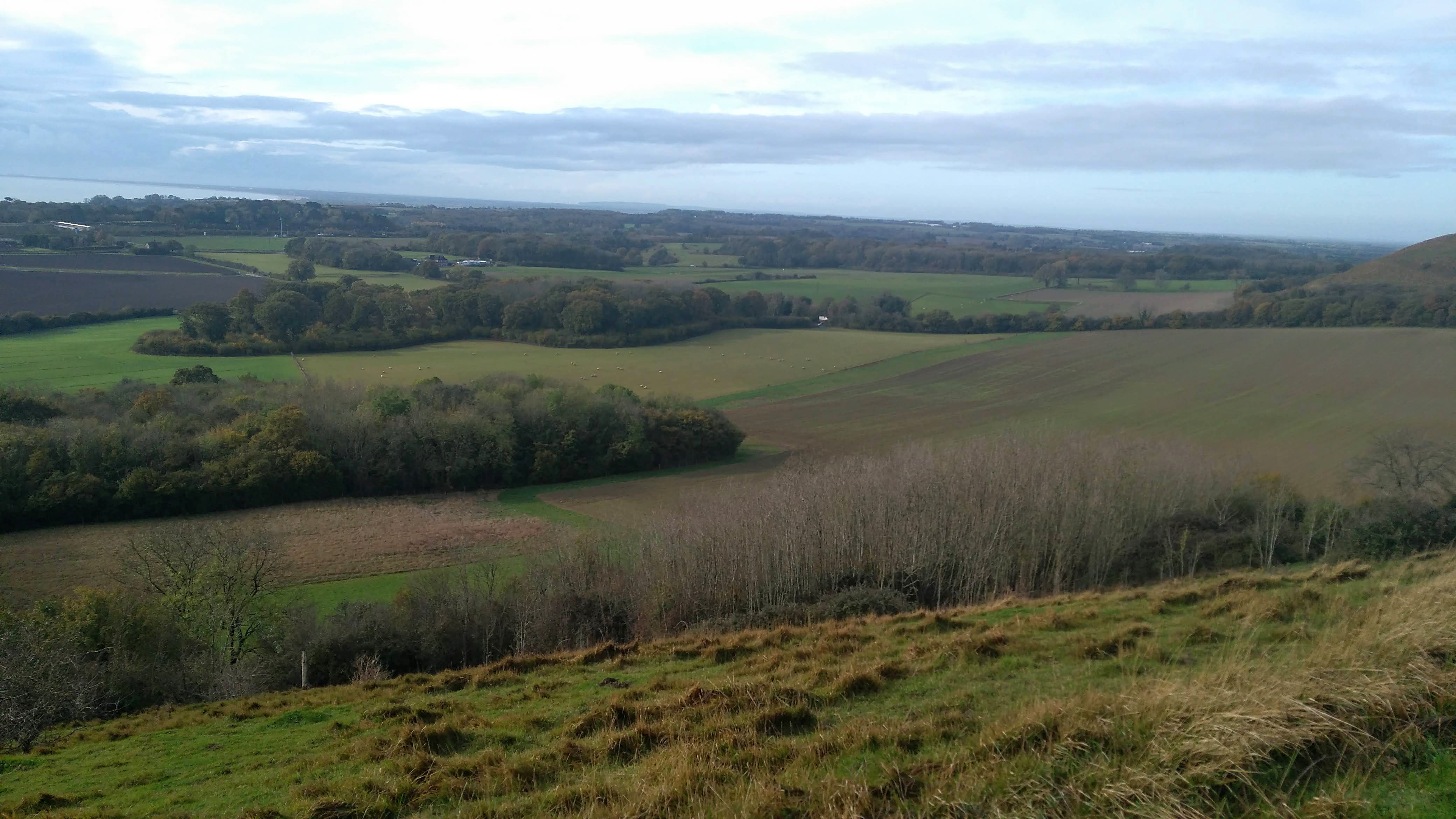
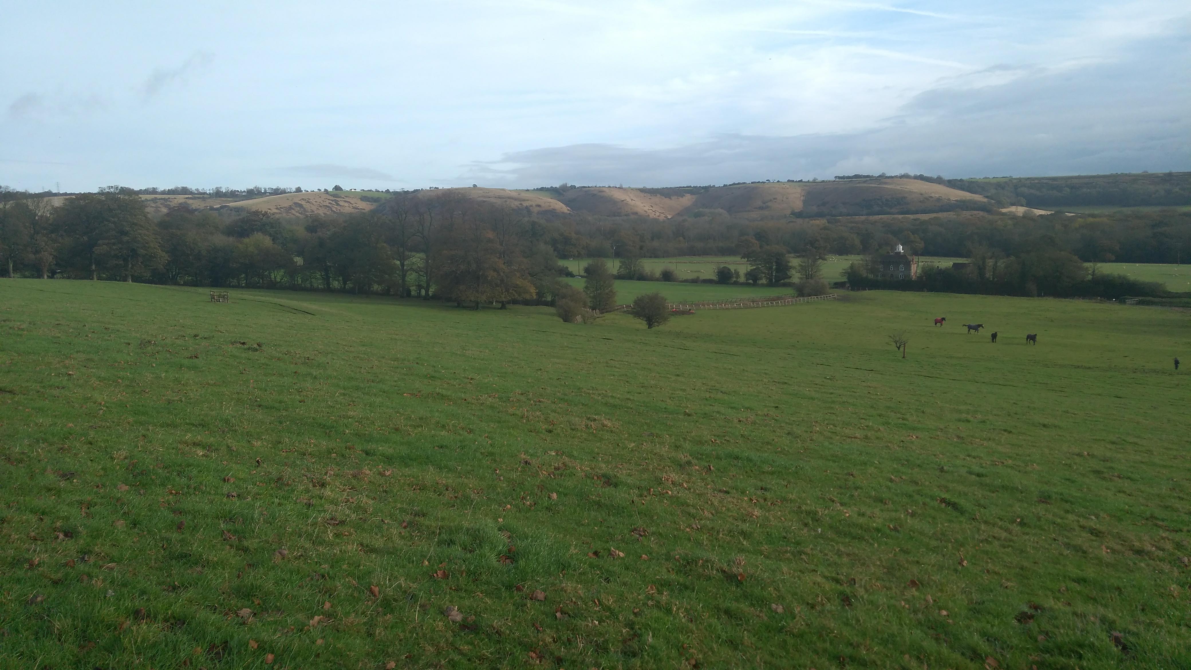
This is a circular walk from Newington Village Hall which is basically a clockwise route but, as the name suggests, there are several loops. It includes parts of the North Downs Way, Elham Valley Way and Saxon Shore Way. The route initially heads west before swinging north and then loops towards Etchinghill and Lyminge from where it carries out a loop towards Postling before returning to Lyminge. It then heads initially east before turning south east towards Paddlesworth. From there it heads southwards to reach the North Downs Way before turning westwards to return to Lymington, via Peene.Other Files
GPX
A GPX file of the above route may be downloaded by clicking the link below.
Note: GPX files of Group Walks are created by LDWA Group members, and may be downloaded only by other LDWA members. They should not be made available outside the LDWA, and are used at members' own risk.
Login to Download (Members Only)You can use the interactive controls to zoom in and out and to move around the map, or click on a path or a marker for more info. (interactive map help)
You can use the interactive controls to zoom in and out and to move around the map, or click on a path or a marker for more info. (interactive map help)
Contains Ordnance Survey data © Crown copyright and database right 2016.
© OpenStreetMap contributors under Open Database Licence
Rights of way data from selected Local Authorities
Large scale digital mapping is provided by John Thorn
At high zoom levels the route is indicative only.
© OpenStreetMap contributors under Open Database Licence
Rights of way data from selected Local Authorities
Large scale digital mapping is provided by John Thorn
At high zoom levels the route is indicative only.
Gallery
Maps:
You can use the interactive controls to zoom in and out and to move around the map, or click on a marker for more info. (interactive map help)
Contains Ordnance Survey data © Crown copyright and database right 2016.
© OpenStreetMap contributors under Open Database Licence.
Rights of way data from selected Local Authorities.
Large scale digital mapping is provided by John Thorn.
© OpenStreetMap contributors under Open Database Licence.
Rights of way data from selected Local Authorities.
Large scale digital mapping is provided by John Thorn.


