


3 Castles
Sat 11th May 2019
Walk Details:
To visit Sissinghurst, Scotney and Bodiam Castles.
Entry Details:
Walk Report
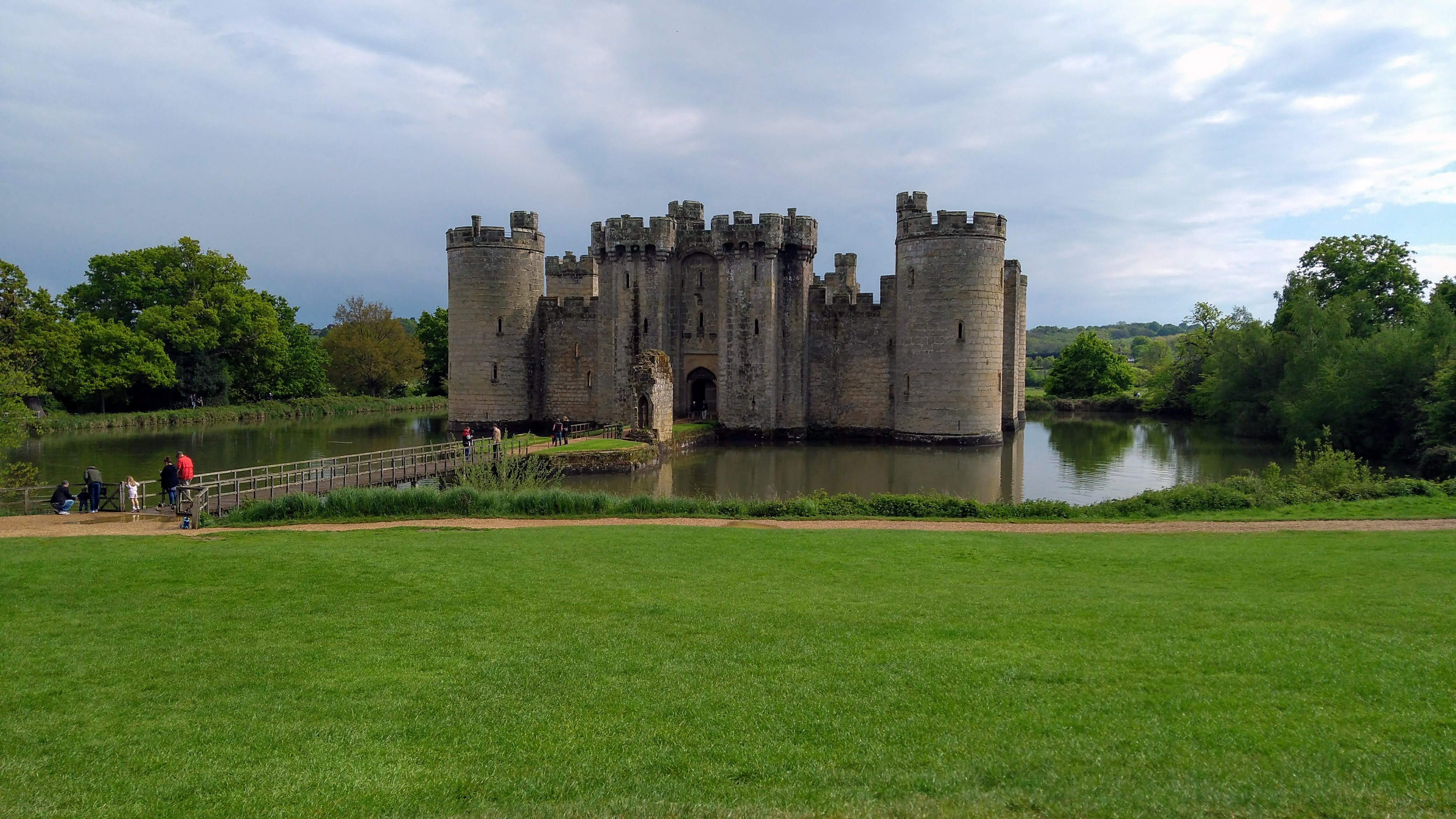
This is an anti-clockwise walk and starts from Sissinghurst Church. Initially it heads north east to reach the first of the castles on the route, Sissinghurst Castle. It then turns south west to reach Cranbrook, from where it joins up with the High Weald Landscape Trail to head westwards to reach Scotney Castle. From here, the route heads south and then east before turning south east towards Hawkhurst. It then crosses the county border and joins up with the Sussex Border Path to reach Bodiam Castle. Heading north east, it crosses Kent Water and back into Kent before turning north to reach the village of Sandhurst. Continuing northwards, the walk rejoins the High Weald Landscape Trail and passes through the grounds of Benenden School before returning to Sissinghurst.Other Files
GPX
A GPX file of the above route may be downloaded by clicking the link below.
Note: GPX files of Group Walks are created by LDWA Group members, and may be downloaded only by other LDWA members. They should not be made available outside the LDWA, and are used at members' own risk.
Login to Download (Members Only)You can use the interactive controls to zoom in and out and to move around the map, or click on a path or a marker for more info. (interactive map help)
You can use the interactive controls to zoom in and out and to move around the map, or click on a path or a marker for more info. (interactive map help)
© OpenStreetMap contributors under Open Database Licence
Rights of way data from selected Local Authorities
Large scale digital mapping is provided by John Thorn
At high zoom levels the route is indicative only.
Gallery
Maps:
You can use the interactive controls to zoom in and out and to move around the map, or click on a marker for more info. (interactive map help)
© OpenStreetMap contributors under Open Database Licence.
Rights of way data from selected Local Authorities.
Large scale digital mapping is provided by John Thorn.


