Reservoir Roundabout
Sat 9th Jan 2027
Walk Details:
Event Type
Challenge Event
Region / Area
Wales / Mid Wales
Local Group
Mid Wales
Distance / Time Limit
12 or 20ml. 8.5 hours
Start Time
Start: 20ml walkers 08.30, 12ml walkers and all runners 09.00 (registration from 07.45)
Route
Elan Valley Visitor Centre, Elan Valley, Rhayader, Powys, LD6 5HP
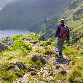
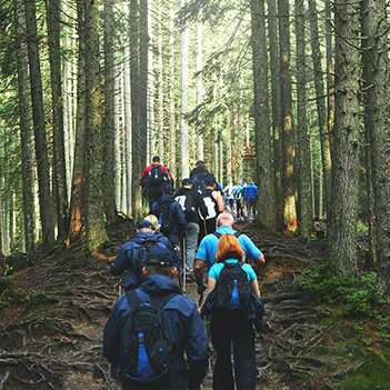
The 60th anniversary of this Walking (or running) Challenge event held across open and challenging upland terrain in and around the Elan and Claerwen Valleys. The route is waymarked in parts but map reading skills are required. A map and GPX file of the confirmed route will be emailed to competitors during the week prior to the event. The Ascent will be 3000ft on the 20 mile route and 1800ft on the 12mile route.
General Notes
Entrants will need to ensure that they are physically prepared for this challenging event and kitted out for a winter hill walk.
The advertised distances are approximate and we reserve the right to change the route due to adverse weather, forestry, farming or construction works. This is now a NO DOGS event.
Sections of the route go through private farms with permission from the farmers for the event day only. Please respect this and ensure all closed gates are left closed and open gates left as found.
Please note, this is not a race, we do not publish results but competitors will receive signed certificates.
Essential Equipment: By taking part participants are agreeing to carry/wear the following: OS map Landranger 147 or Explorer 200, compass, whistle, torch, first aid kit including a survival bag, waterproofs, enough food & drink for the day, warm clothes and proper footwear.
This event is organised and staffed by friendly volunteers, all proceeds go to local charities
Contact
Reservoir Roundabout Team
Start and Finish

Entry Details:
Cost
£22 members £25 non-members
Maps:
You can use the interactive controls to zoom in and out and to move around the map, or click on a marker for more info. (interactive map help)
Contains Ordnance Survey data © Crown copyright and database right 2016.
© OpenStreetMap contributors under Open Database Licence.
Rights of way data from selected Local Authorities.
Large scale digital mapping is provided by John Thorn.
© OpenStreetMap contributors under Open Database Licence.
Rights of way data from selected Local Authorities.
Large scale digital mapping is provided by John Thorn.
Accommodation within 20 km of this Event:
Hostel Accommodation
Bunk House
Bunk House
Bunk House
Hostel Accommodation
Walkers are Welcome
Bunk House