


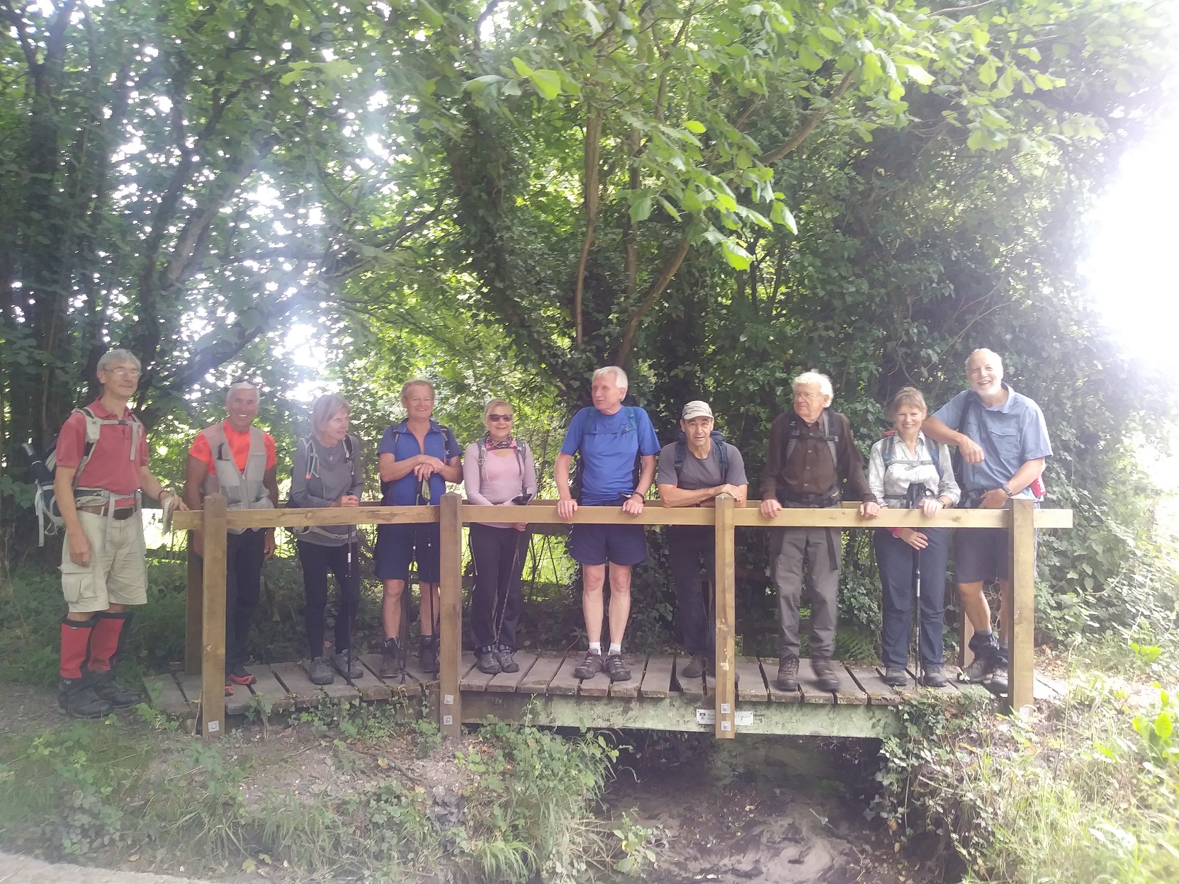
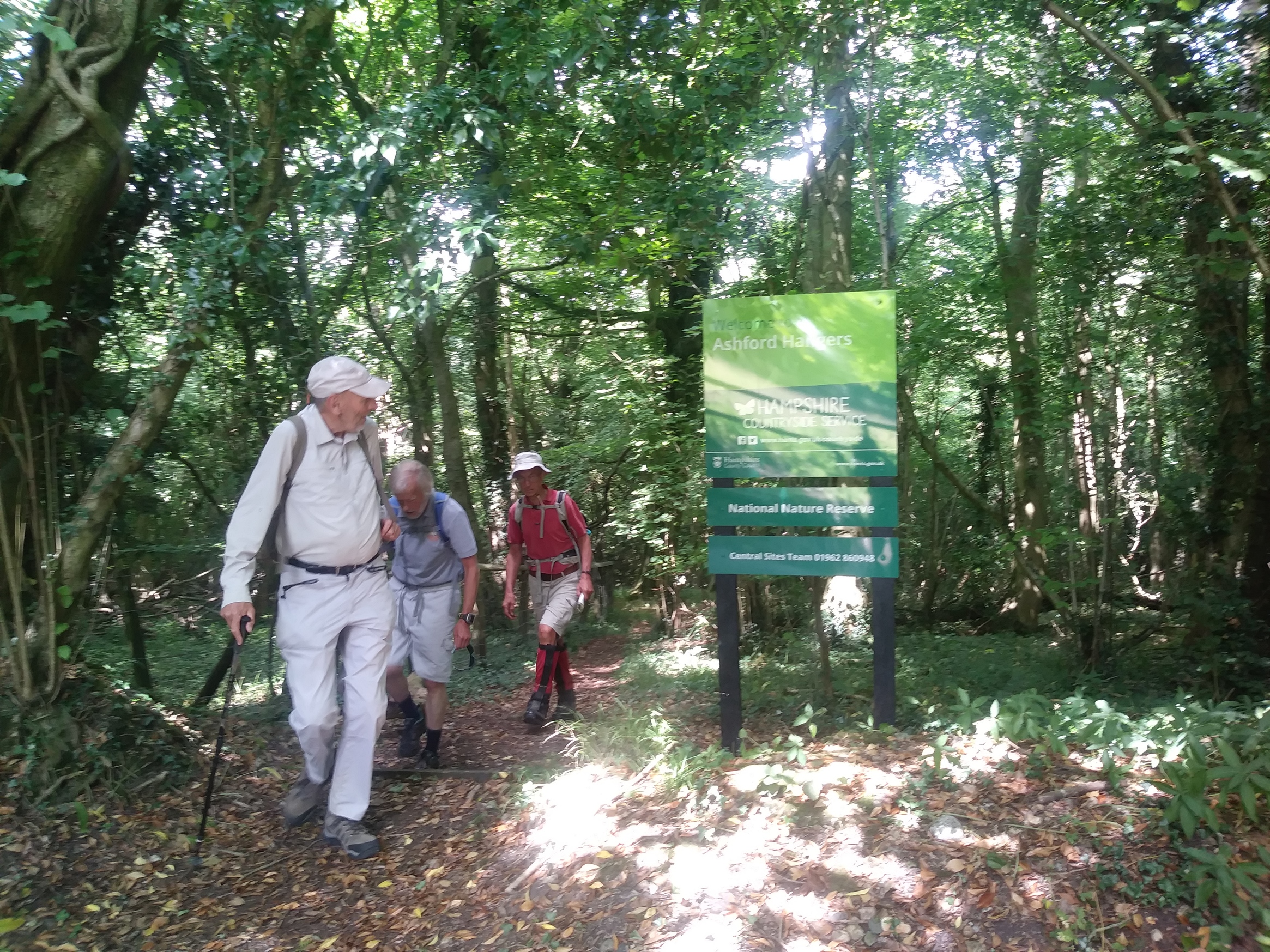
Steep is the way
Sun 14th Jul 2019
Walk Details:
Event Type
Group Walk
Region / Area
Southern England / Hampshire Hangers
Local Group
Wessex (Hampshire & Isle of Wight)
Distance
20ml.
Start Time
08.45
Route
Selborne c.p
To the village of Steep and back with 4000 ft of ascent. Lunch stop TBA
General Notes
Map: OL33
Web Site
Start and Finish
Entry Details:
Cost
Other Files
GPX
A GPX file of the above route may be downloaded by clicking the link below.
Note: GPX files of Group Walks are created by LDWA Group members, and may be downloaded only by other LDWA members. They should not be made available outside the LDWA, and are used at members' own risk.
Login to Download (Members Only)Gallery
Maps:
You can use the interactive controls to zoom in and out and to move around the map, or click on a marker for more info. (interactive map help)
Contains Ordnance Survey data © Crown copyright and database right 2016.
© OpenStreetMap contributors under Open Database Licence.
Rights of way data from selected Local Authorities.
Large scale digital mapping is provided by John Thorn.
© OpenStreetMap contributors under Open Database Licence.
Rights of way data from selected Local Authorities.
Large scale digital mapping is provided by John Thorn.


