
Blanchland to Stoneybridge
Sat 2nd Mar 2024
Walk Details:
Event Type
Group Walk
Region / Area
Northern England / North Pennines
Local Group
Northumbria
Distance
18ml.
Start Time
08:30am
Route
Circular walk from Blanchland. Parking and start of the walk at the large c.p at the north end of Blanchland Village, DH8 9ST, which requires a £1 honesty box donation. Alex Harris will be leading. Drinks in the Lord Crewe Arms afterwards
General Notes
Please note that by attending this walk you agree to the Northumbria LDWA group rules with regards to: a) Dogs are welcome on leads, but owners must have up to date public liability insurance b) Photographs of people must be with the full consent of those people for the taking and distribution of the photographs. Sunrise 6:54am, Sunset 5:44pm
Web Site
Start
Finish
Entry Details:
Cost
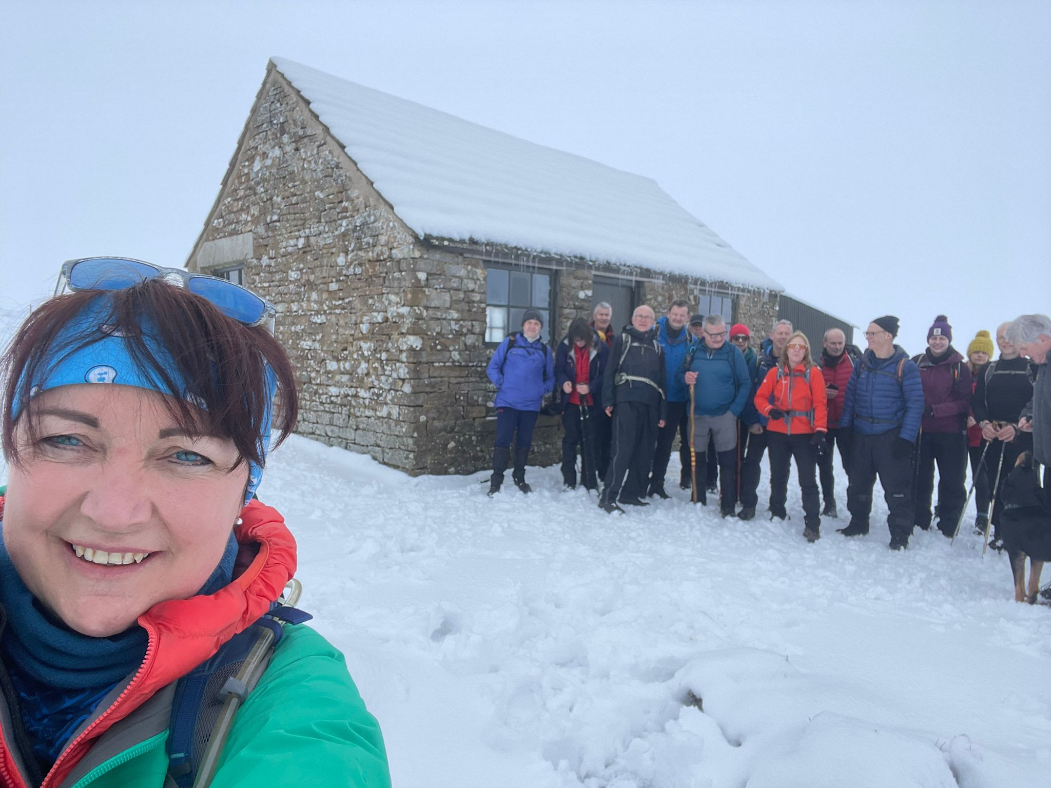
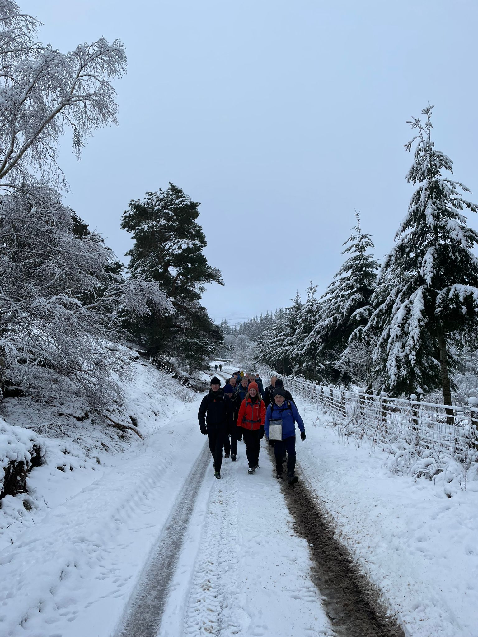
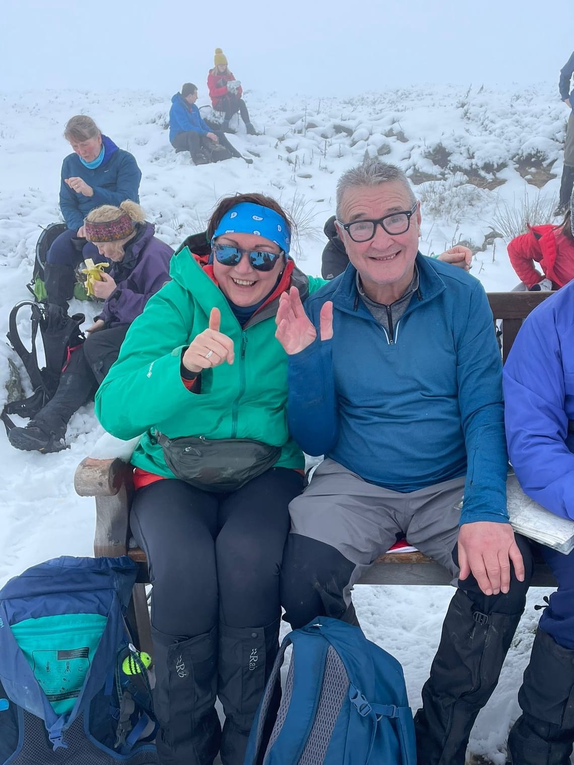
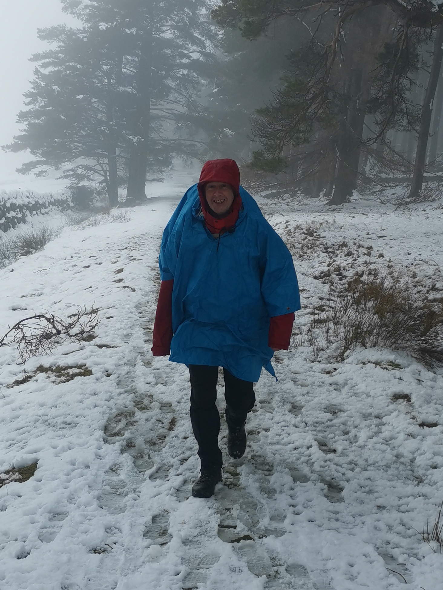
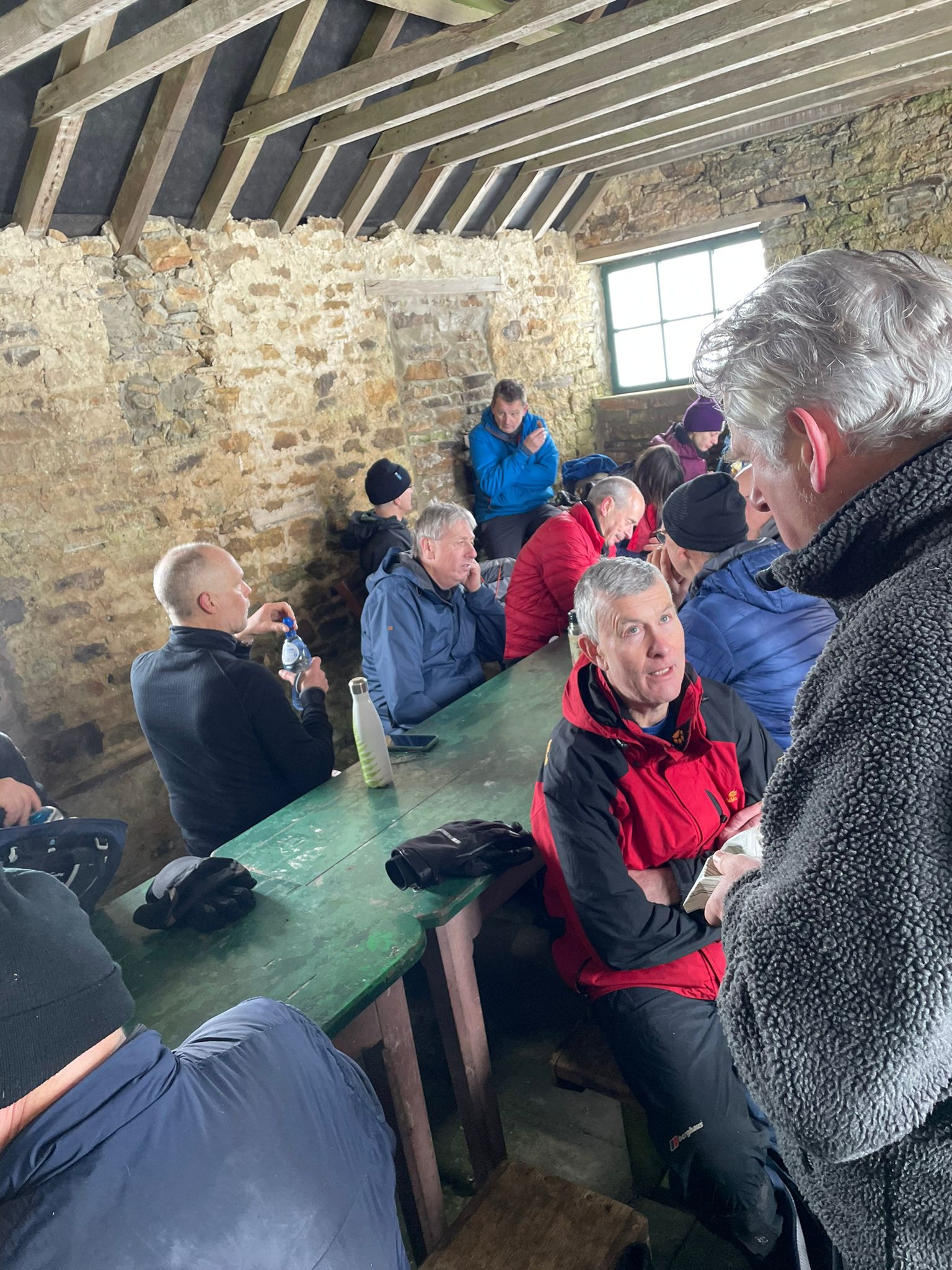
Walk Report
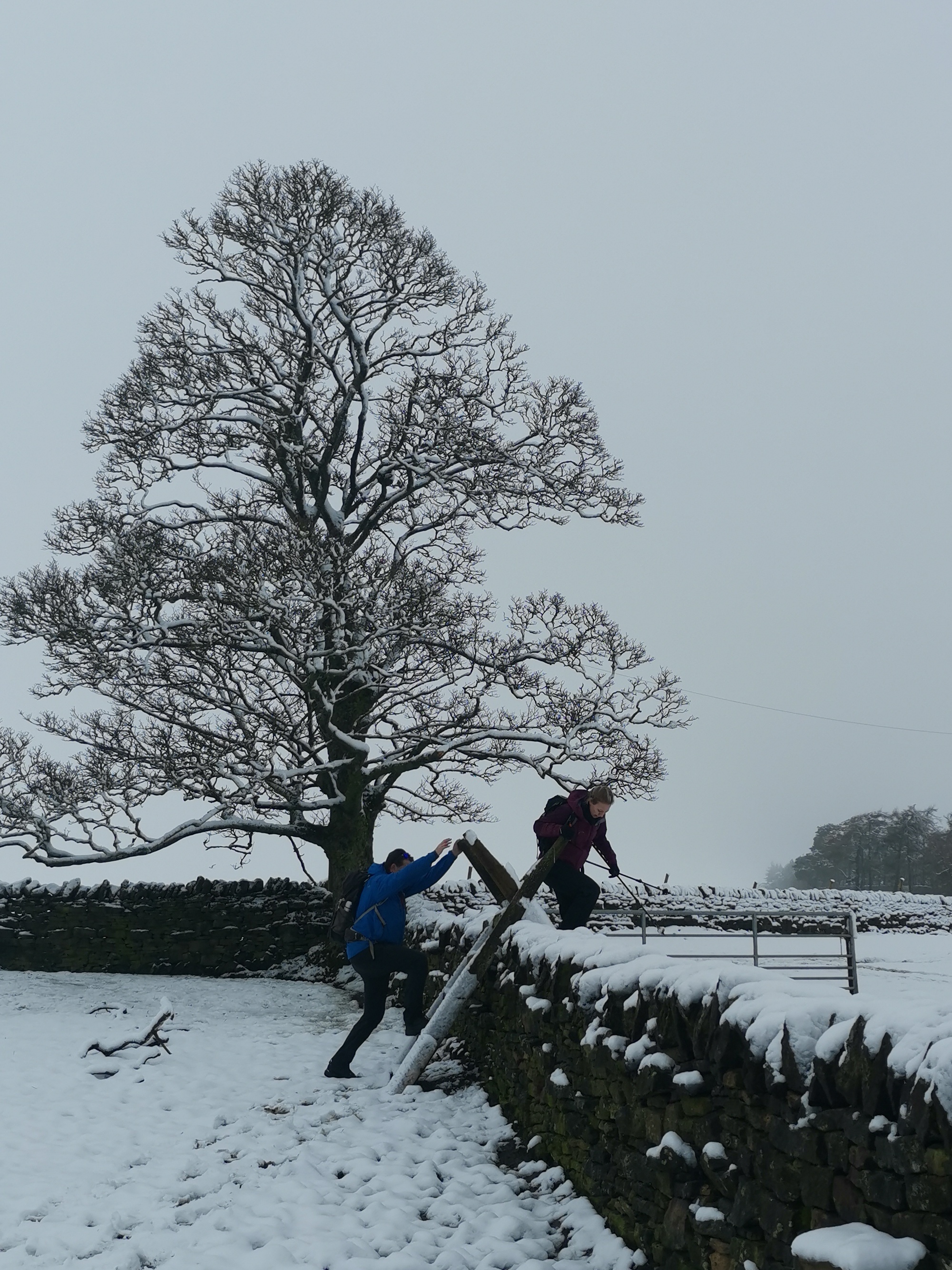
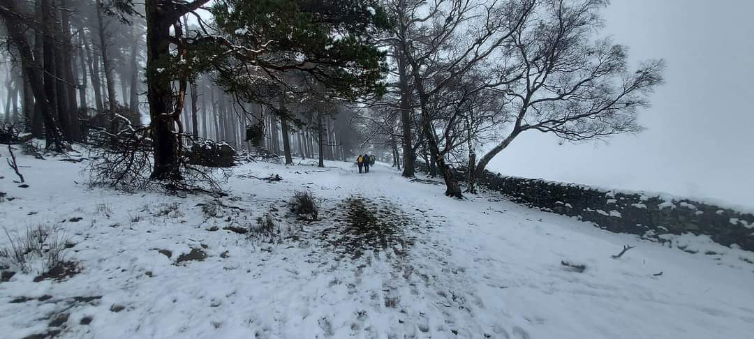
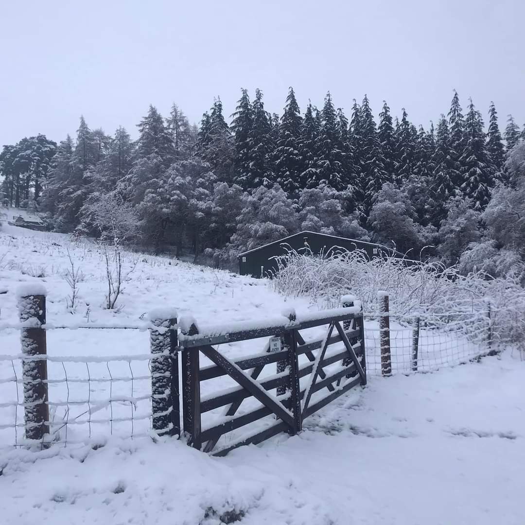
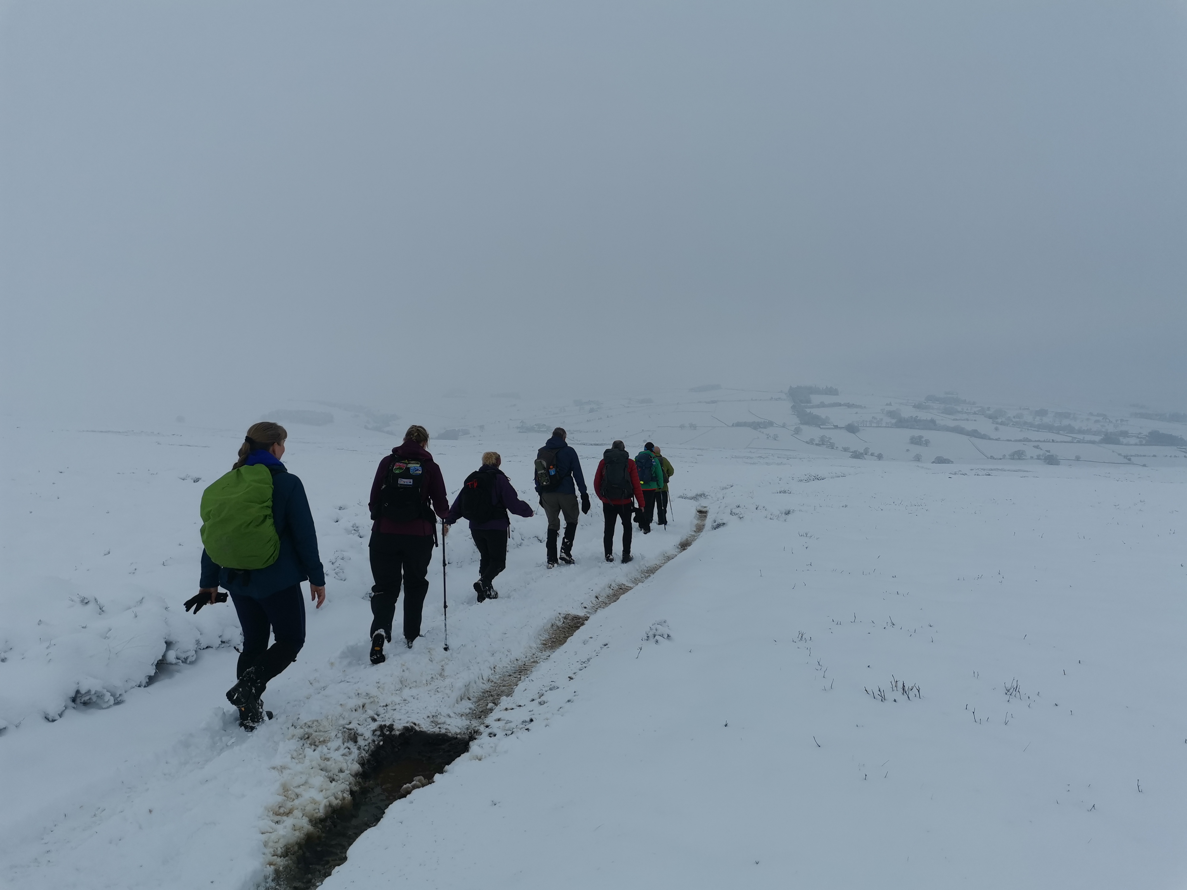
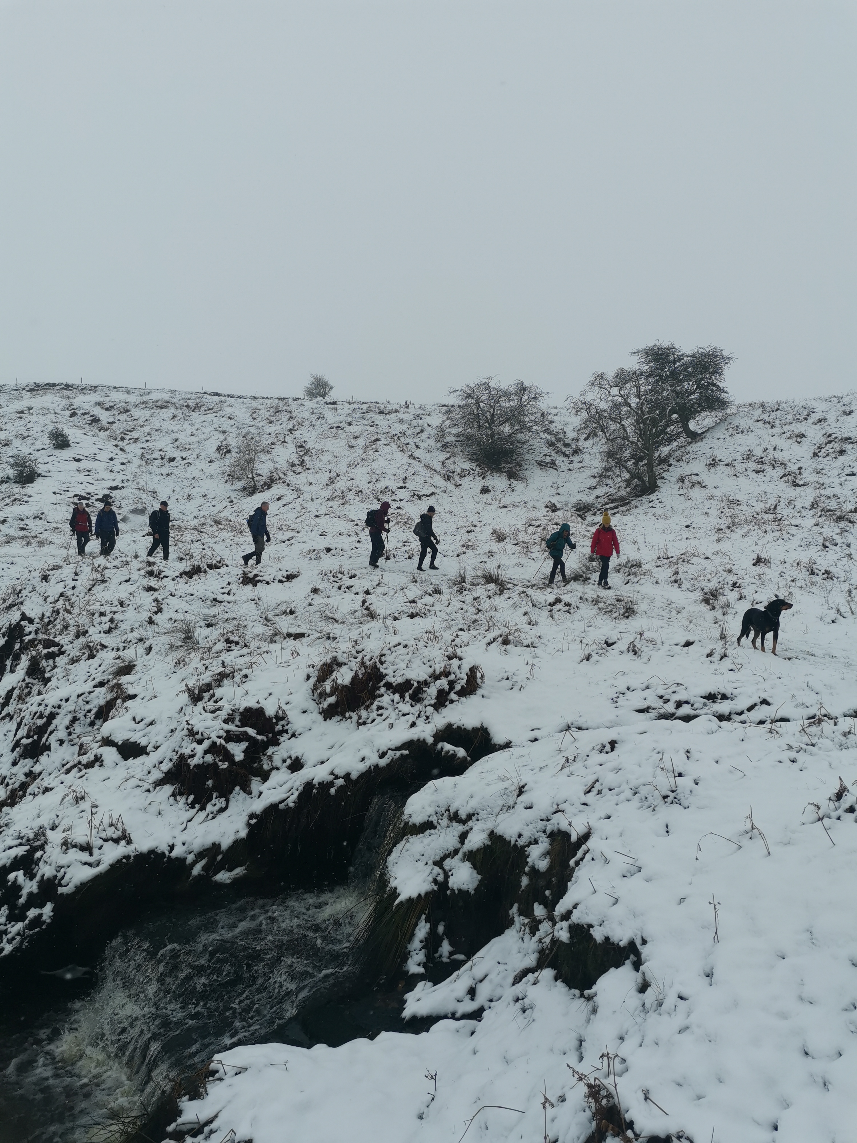
Significant snowfall the night before the walk. On the day the walk was 16 miles not the original 18 miles. The BOAT across Blanchland Moor is horrifically disfigured on the section before entering Slaley Forest. It was felt that this was best avoided in the heavy snow. (Paul Nellist)Other Files
GPX
A GPX file of the above route may be downloaded by clicking the link below.
Note: GPX files of Group Walks are created by LDWA Group members, and may be downloaded only by other LDWA members. They should not be made available outside the LDWA, and are used at members' own risk.
Login to Download (Members Only)You can use the interactive controls to zoom in and out and to move around the map, or click on a path or a marker for more info. (interactive map help)
You can use the interactive controls to zoom in and out and to move around the map, or click on a path or a marker for more info. (interactive map help)
Contains Ordnance Survey data © Crown copyright and database right 2016.
© OpenStreetMap contributors under Open Database Licence
Rights of way data from selected Local Authorities
Large scale digital mapping is provided by John Thorn
At high zoom levels the route is indicative only.
© OpenStreetMap contributors under Open Database Licence
Rights of way data from selected Local Authorities
Large scale digital mapping is provided by John Thorn
At high zoom levels the route is indicative only.
Gallery
.jpg)
Maps:
You can use the interactive controls to zoom in and out and to move around the map, or click on a marker for more info. (interactive map help)
Contains Ordnance Survey data © Crown copyright and database right 2016.
© OpenStreetMap contributors under Open Database Licence.
Rights of way data from selected Local Authorities.
Large scale digital mapping is provided by John Thorn.
© OpenStreetMap contributors under Open Database Licence.
Rights of way data from selected Local Authorities.
Large scale digital mapping is provided by John Thorn.


