
Time & Life Move Swifly
Sat 23rd Mar 2024
Walk Details:
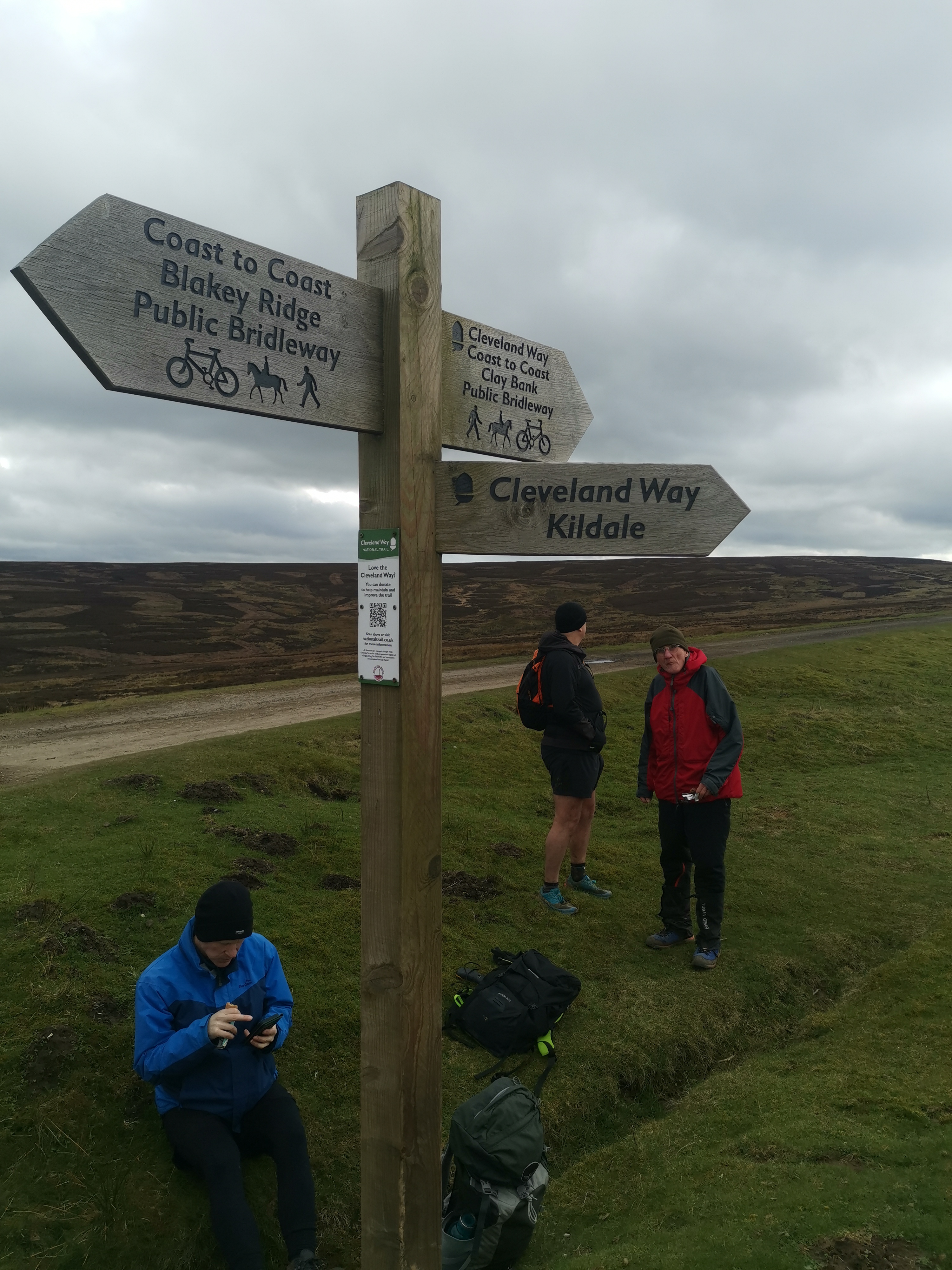
Clay Bank-Wainstones-Bilsdale-Seave Green-Bilsdale East Moor-Bransdale-Ruddland Rigg-Bloworth Crossing-Cleveland Way back to Clay Bank
Entry Details:
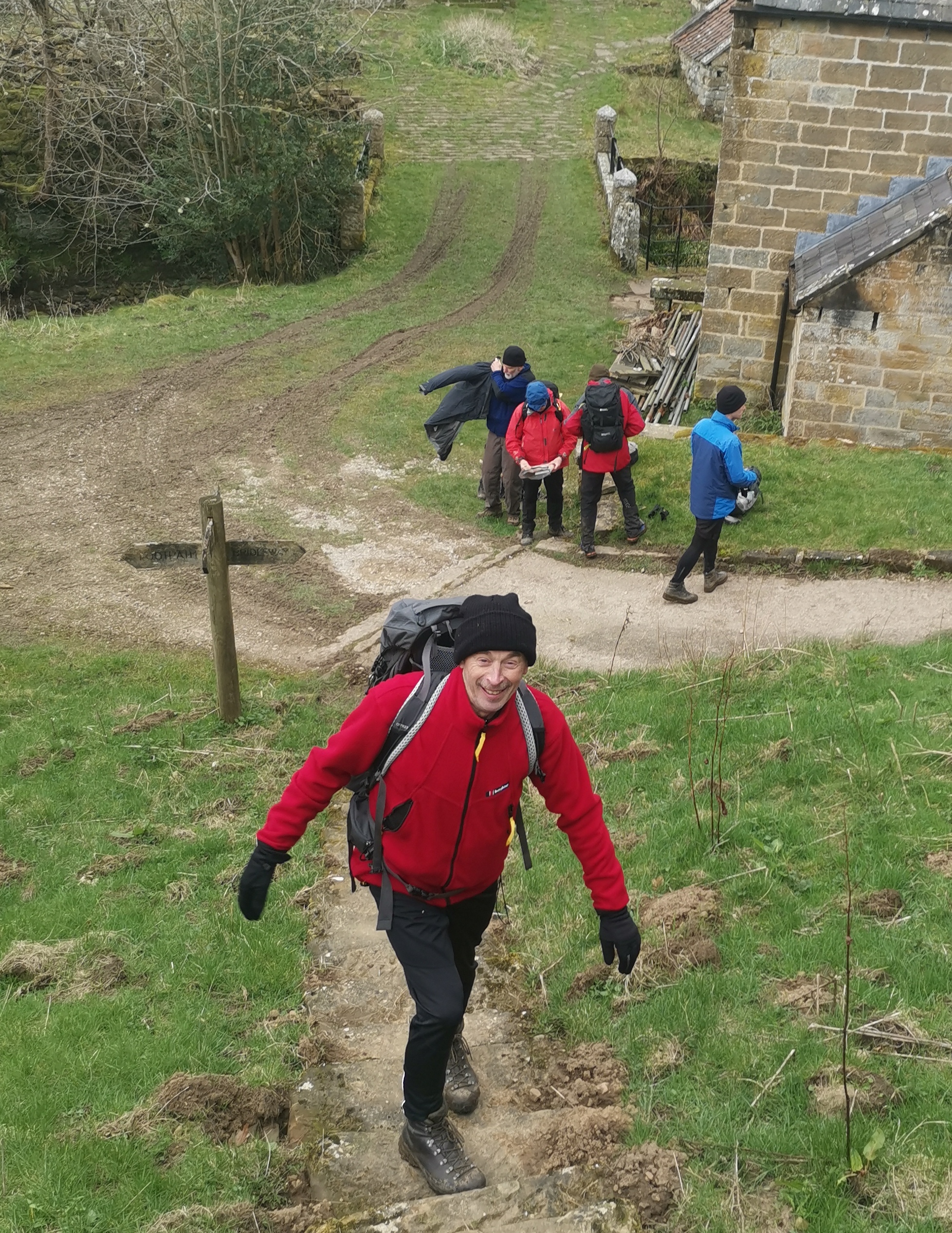
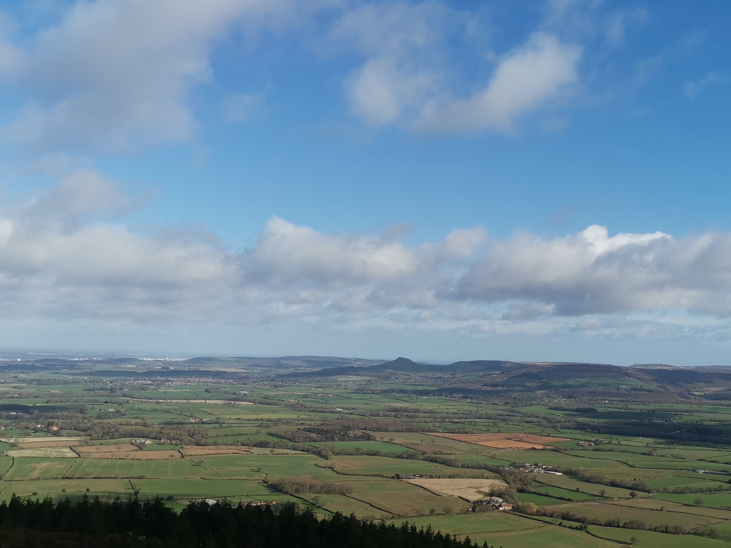
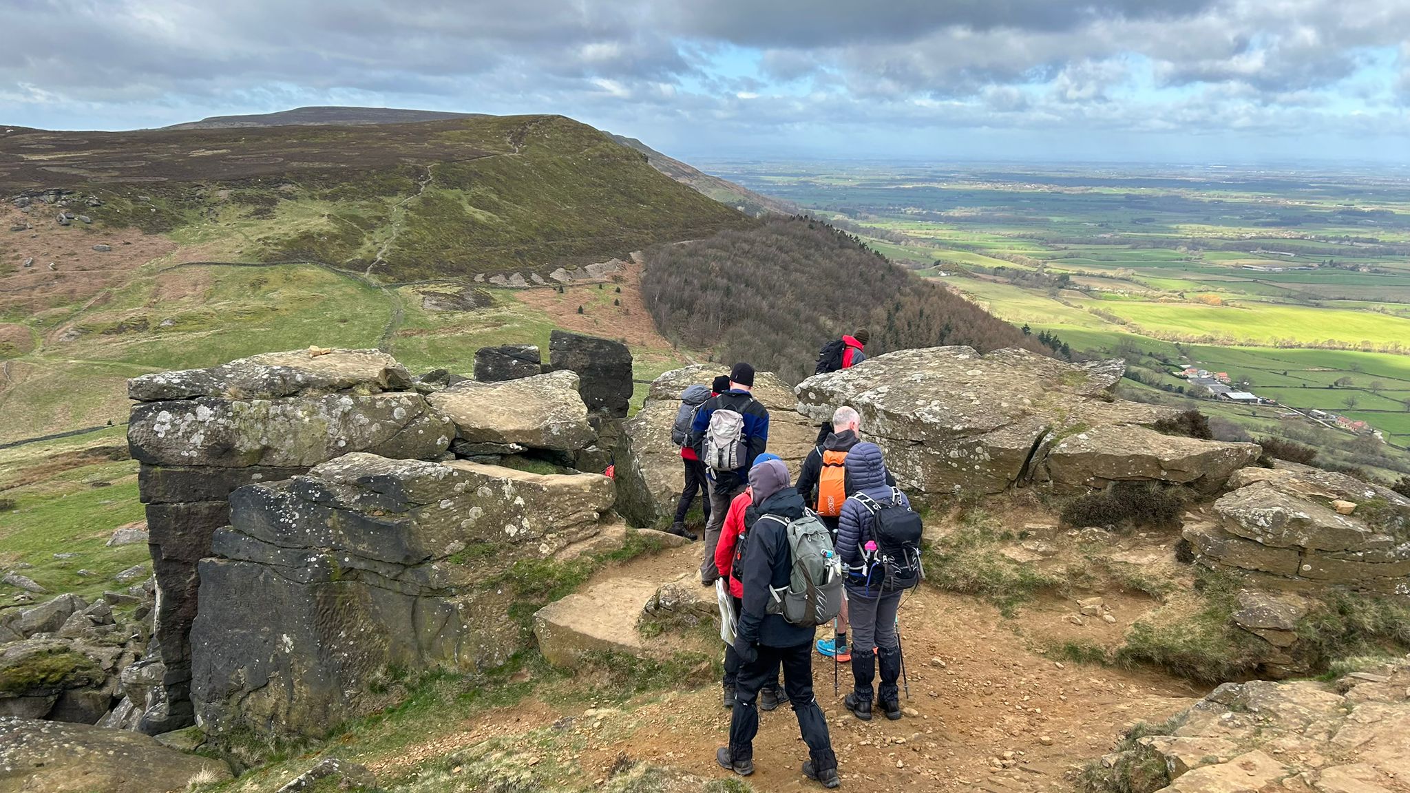
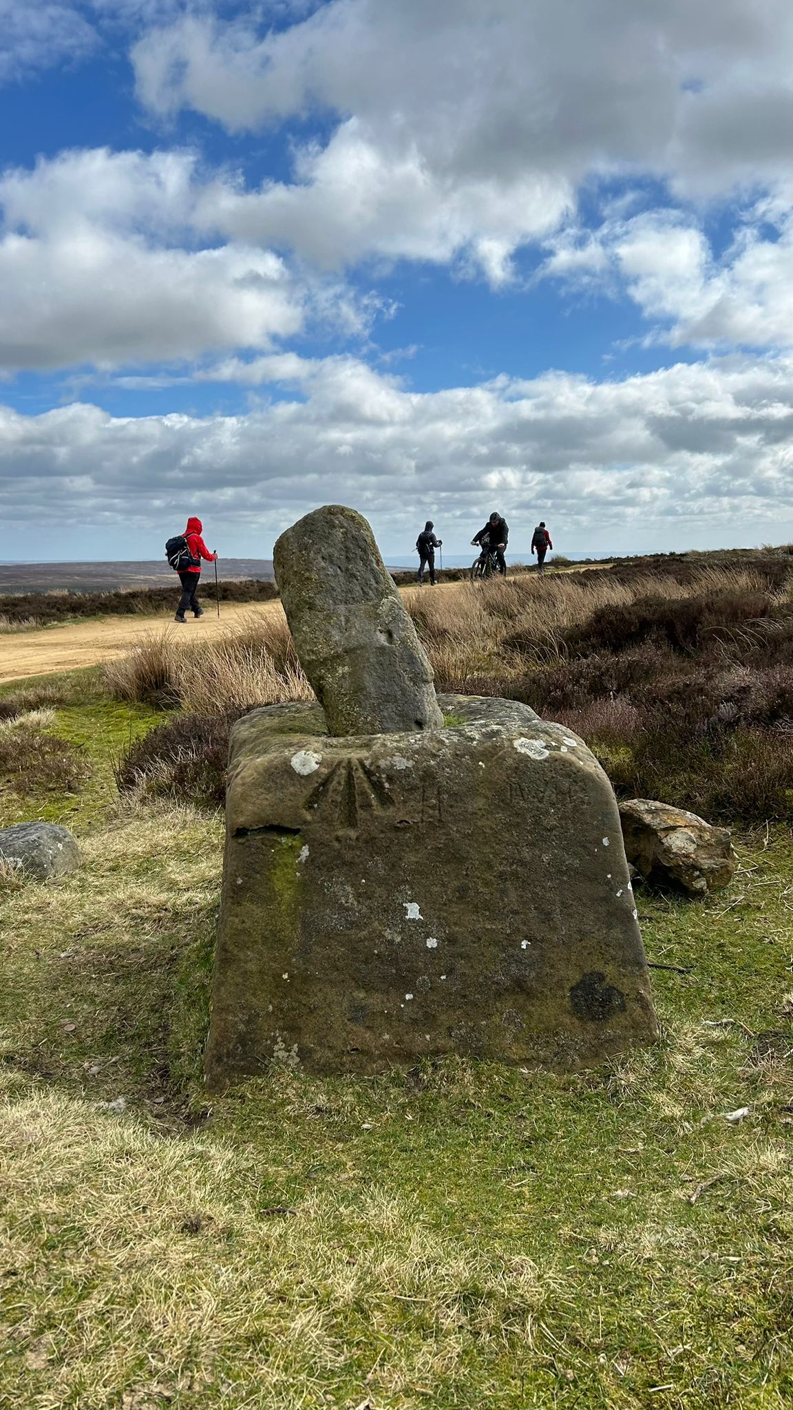
Walk Report
Clay Bank Forestry England car park is currently a large free car park. However, Forestry England will soon start charging to park here. There is a substantial amount of layby parking a couple of hundred metres up on the top of the bank. ( Paul Nellist, March 2024)Other Files
GPX
A GPX file of the above route may be downloaded by clicking the link below.
Note: GPX files of Group Walks are created by LDWA Group members, and may be downloaded only by other LDWA members. They should not be made available outside the LDWA, and are used at members' own risk.
Login to Download (Members Only)You can use the interactive controls to zoom in and out and to move around the map, or click on a path or a marker for more info. (interactive map help)
You can use the interactive controls to zoom in and out and to move around the map, or click on a path or a marker for more info. (interactive map help)
© OpenStreetMap contributors under Open Database Licence
Rights of way data from selected Local Authorities
Large scale digital mapping is provided by John Thorn
At high zoom levels the route is indicative only.
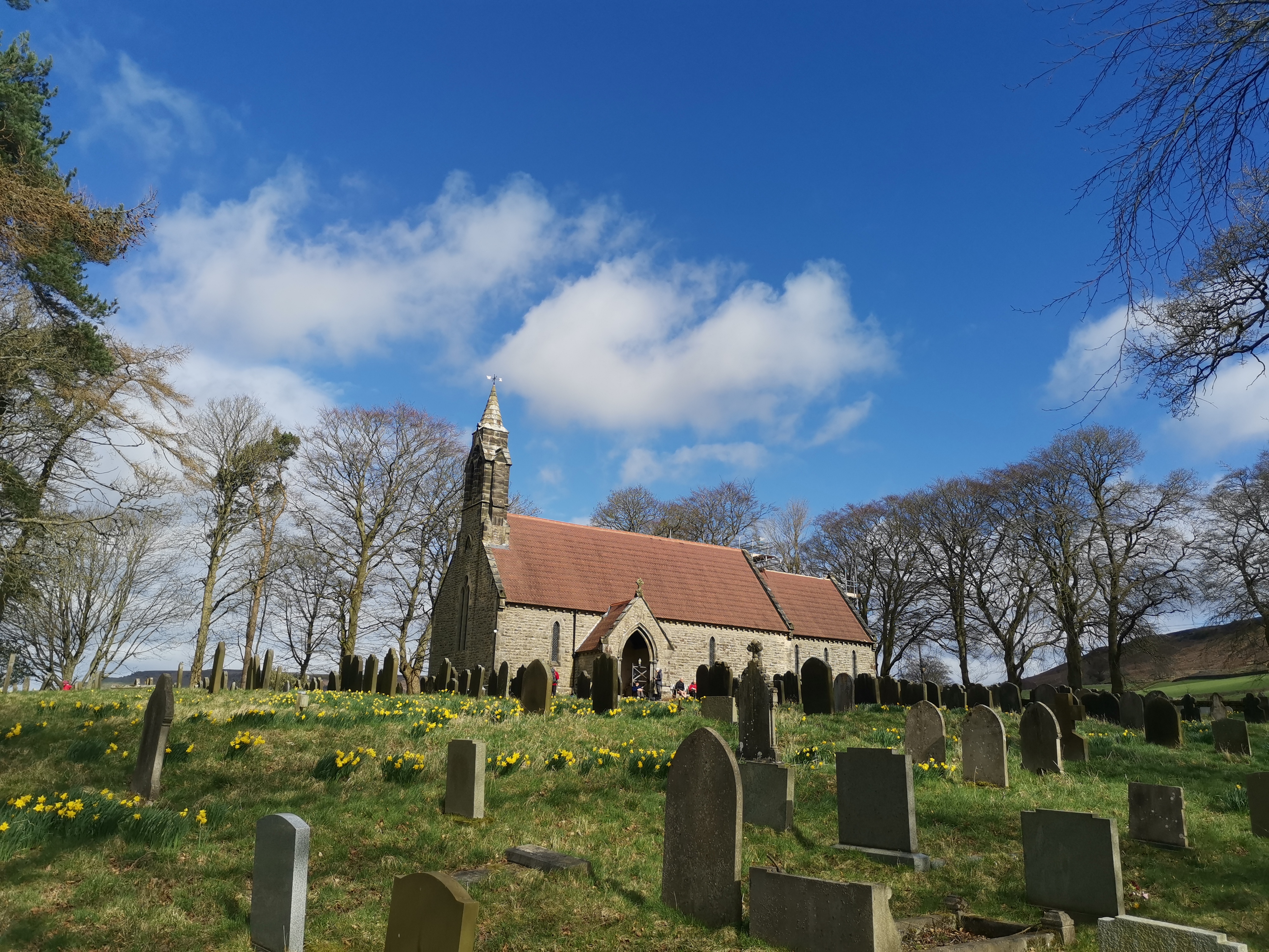
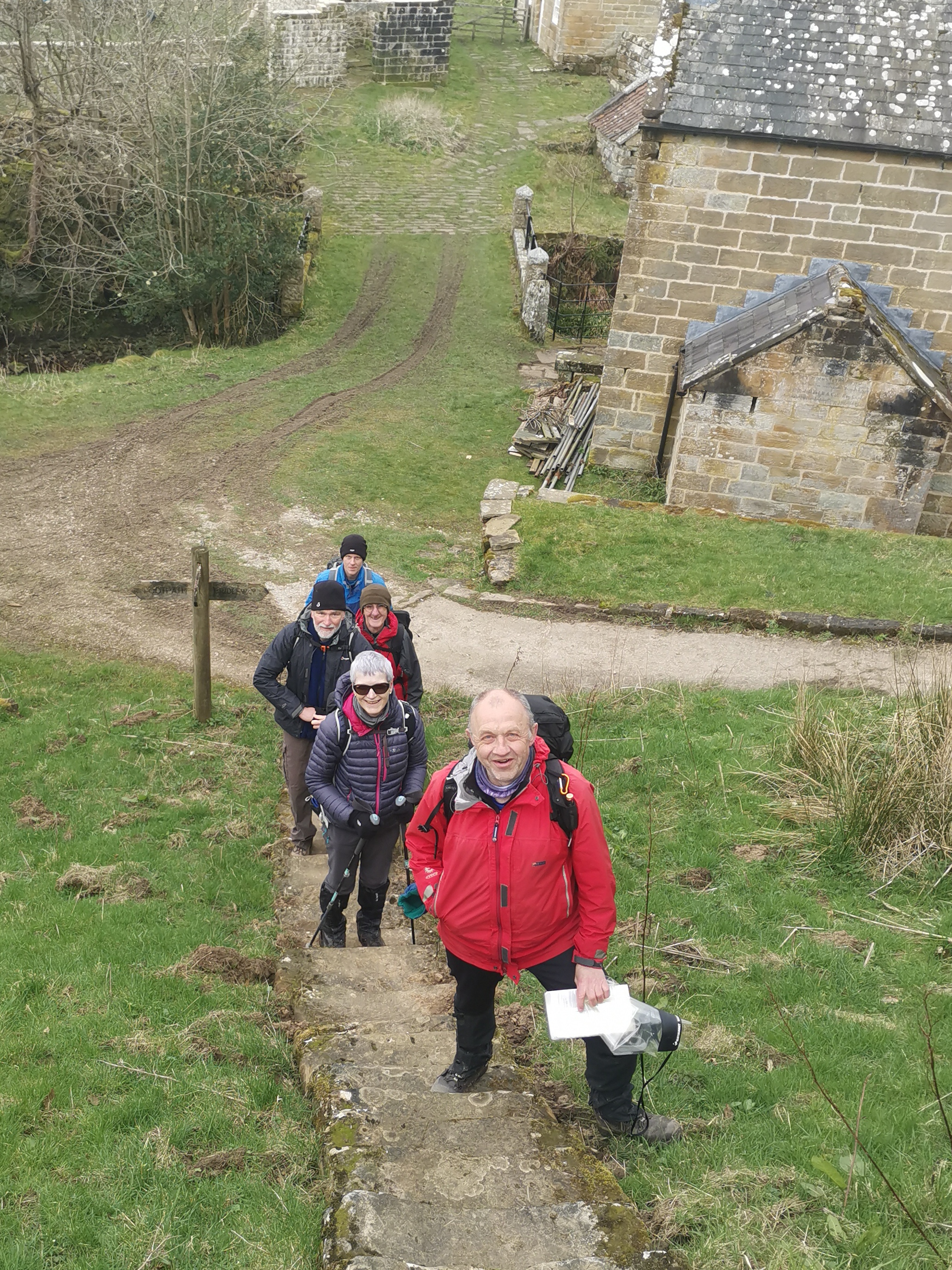
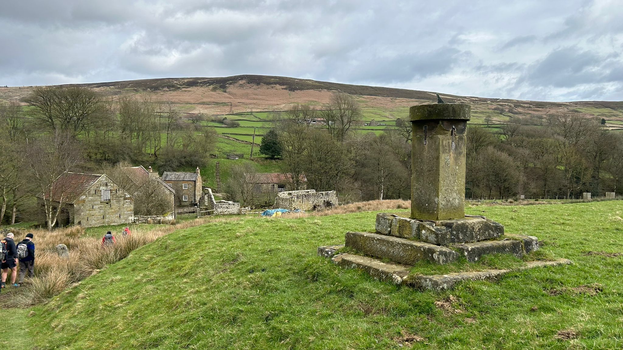
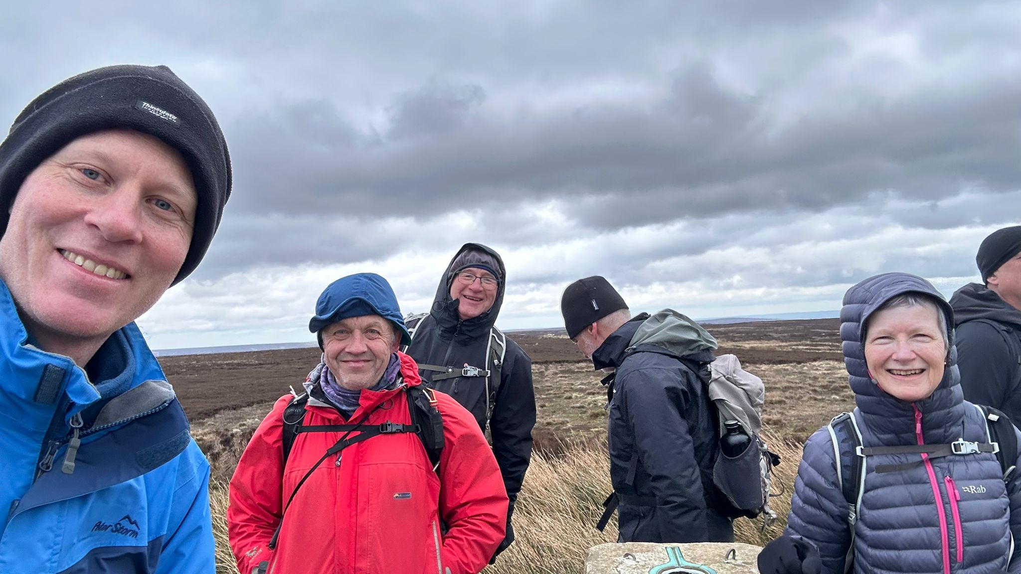
Gallery
Maps:
You can use the interactive controls to zoom in and out and to move around the map, or click on a marker for more info. (interactive map help)
© OpenStreetMap contributors under Open Database Licence.
Rights of way data from selected Local Authorities.
Large scale digital mapping is provided by John Thorn.


