
AGM Preramble, Stannington
Sat 13th Jan 2024
Walk Details:
Event Type
Group Walk
Region / Area
Northern England / Northumberland
Local Group
Northumbria
Distance
13ml.
Start Time
09:00am
Route
Circular walk from Stannington. c.p & the start of the walk is at the Ridley Arms c.p,, Stannington, grid reference NZ214794, post code NE61 6EL, where there is plenty of free parking
General Notes
The 2024 AGM will follow the walk in the Ridley Arms, Stannington at about 15:00-15:30.
Please note that by attending this walk you agree to the Northumbria LDWA group rules with regards to: a) Dogs are welcome on leads, but owners must have up to date public liability insurance b) Photographs of people must be with the full consent of those people for the taking & distribution of the photographs
Web Site
Start
Finish
Entry Details:
Cost
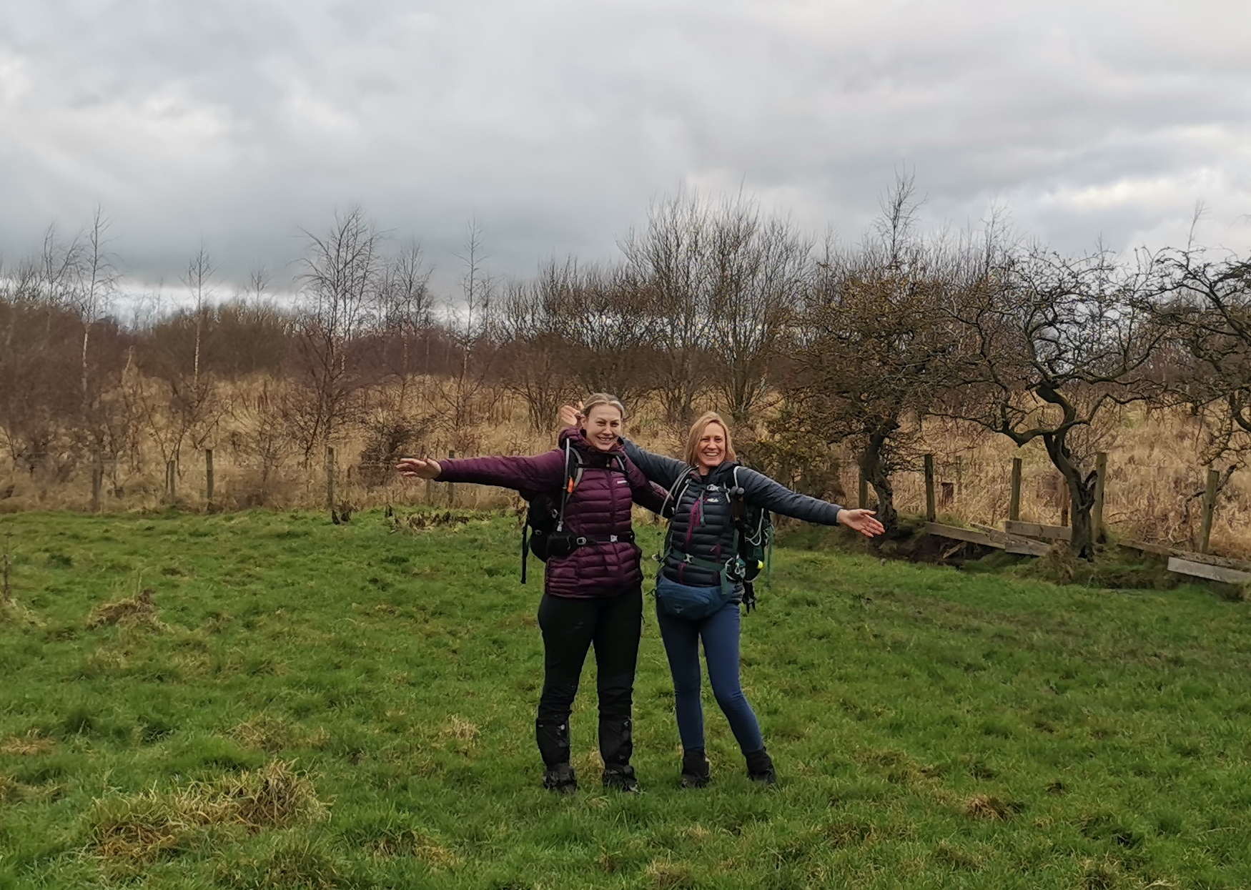
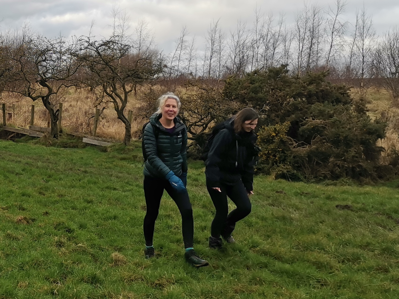
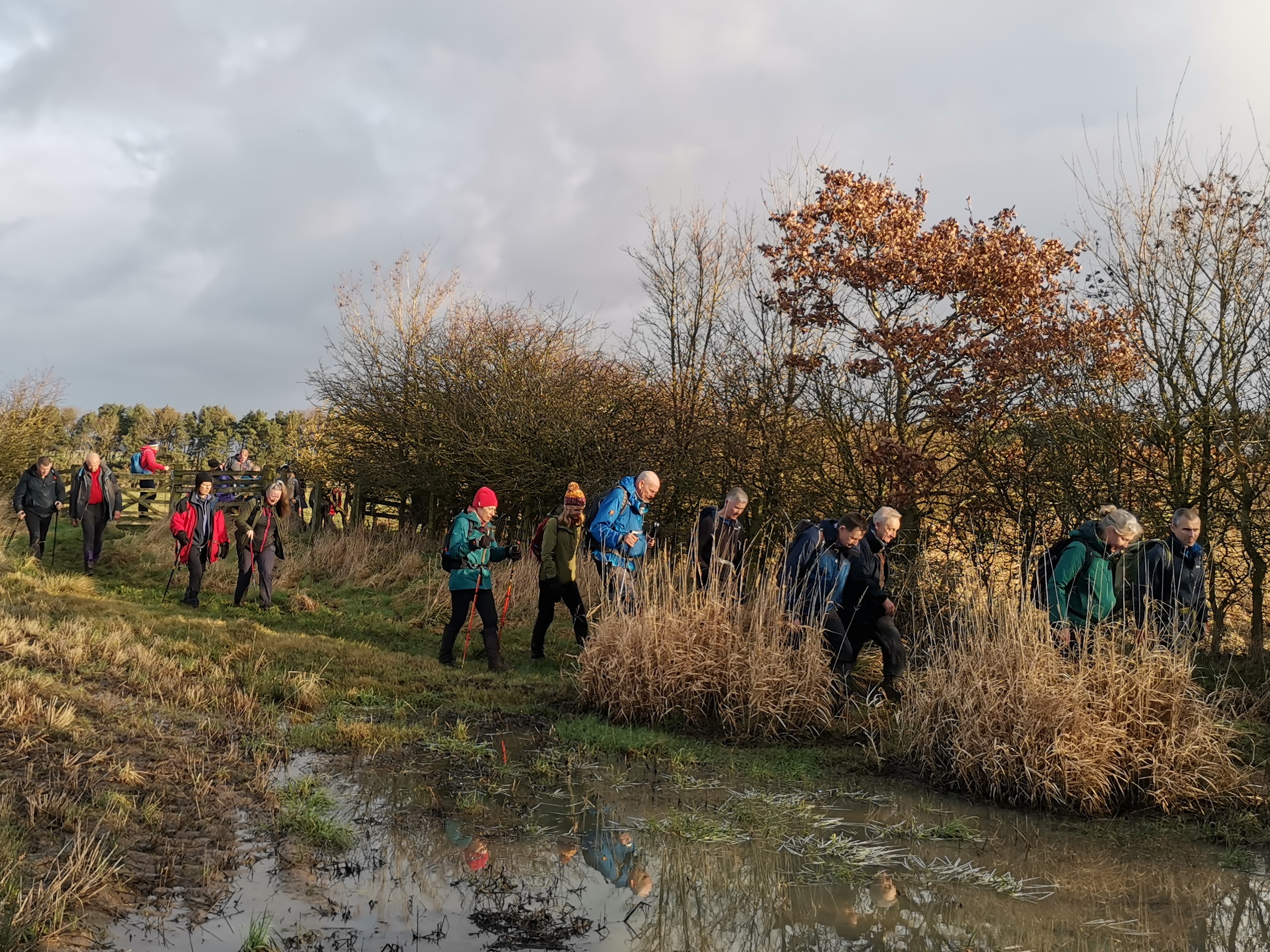
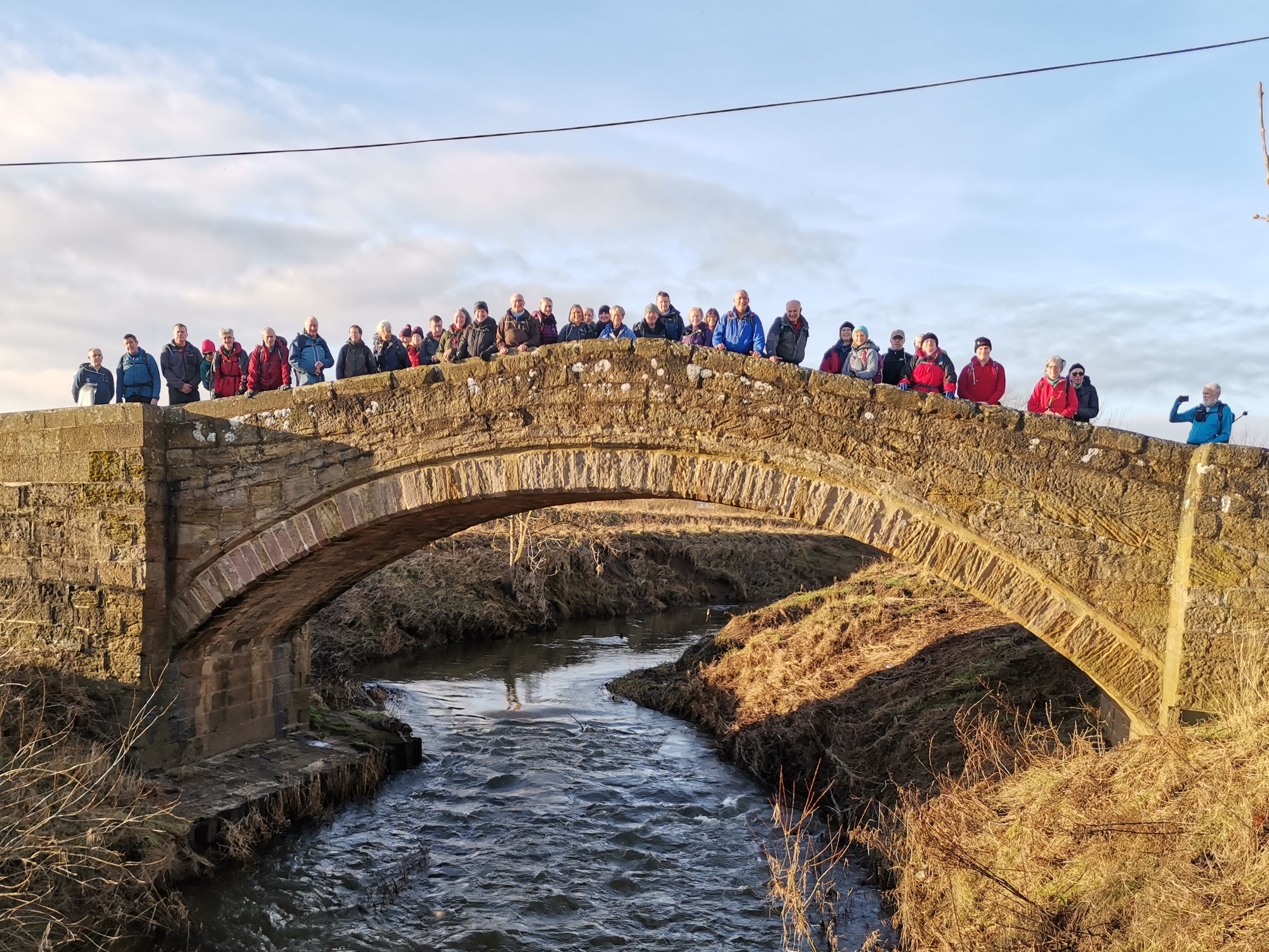
Walk Report
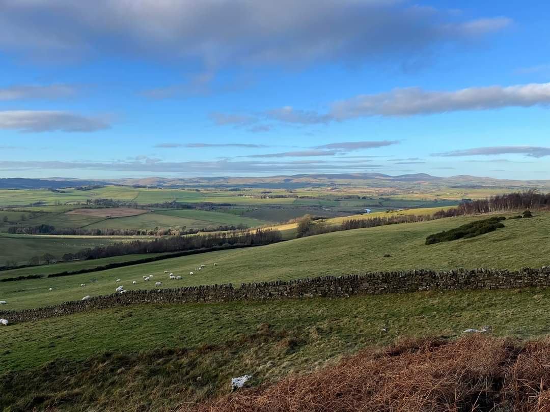
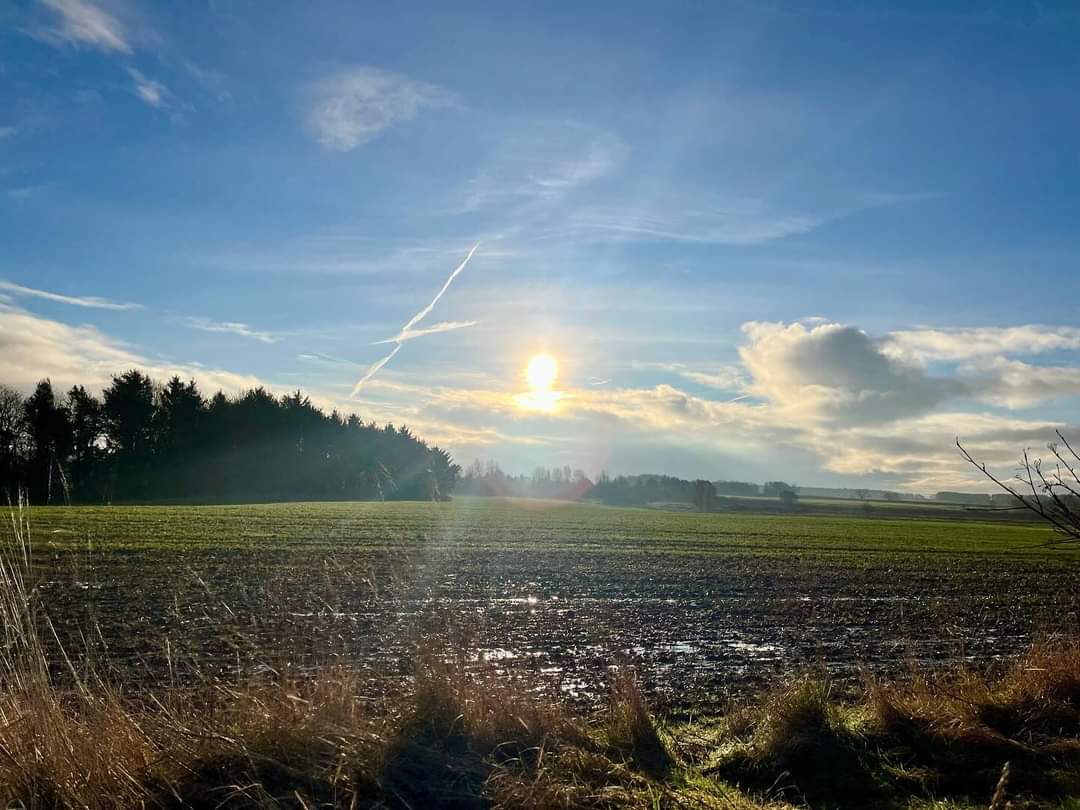
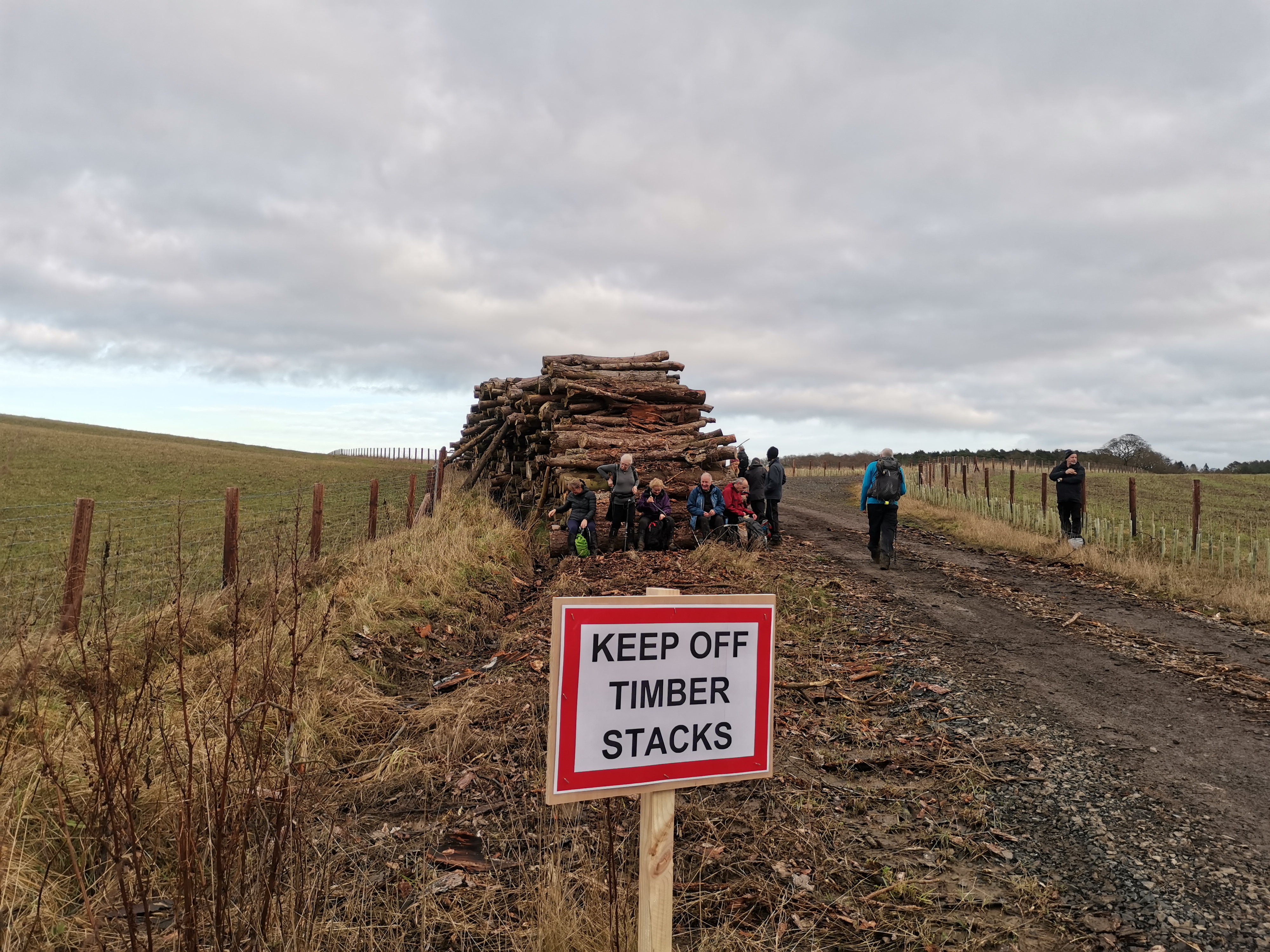
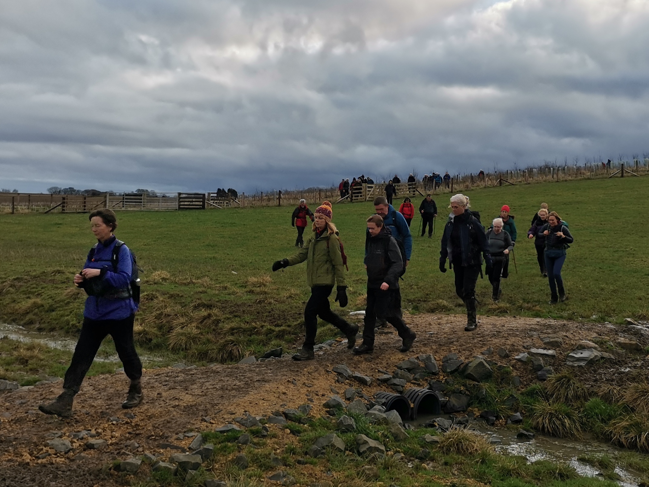
The car park in the centre of Stannington is an excellent resource. Huge and free. Great for walks from Stannington itself. Also used by members of the club, usually from South of Northumbria to meet on the way to the North of Northumbria and car share. The Ridley arms pub adjacent to the car park is very good. Indeed the Ridley Arks was the venue for our 2024 AGM after our walk today. (Paul Nellist)Other Files
GPX
A GPX file of the above route may be downloaded by clicking the link below.
Note: GPX files of Group Walks are created by LDWA Group members, and may be downloaded only by other LDWA members. They should not be made available outside the LDWA, and are used at members' own risk.
Login to Download (Members Only)You can use the interactive controls to zoom in and out and to move around the map, or click on a path or a marker for more info. (interactive map help)
You can use the interactive controls to zoom in and out and to move around the map, or click on a path or a marker for more info. (interactive map help)
Contains Ordnance Survey data © Crown copyright and database right 2016.
© OpenStreetMap contributors under Open Database Licence
Rights of way data from selected Local Authorities
Large scale digital mapping is provided by John Thorn
At high zoom levels the route is indicative only.
© OpenStreetMap contributors under Open Database Licence
Rights of way data from selected Local Authorities
Large scale digital mapping is provided by John Thorn
At high zoom levels the route is indicative only.
Gallery

Maps:
You can use the interactive controls to zoom in and out and to move around the map, or click on a marker for more info. (interactive map help)
Contains Ordnance Survey data © Crown copyright and database right 2016.
© OpenStreetMap contributors under Open Database Licence.
Rights of way data from selected Local Authorities.
Large scale digital mapping is provided by John Thorn.
© OpenStreetMap contributors under Open Database Licence.
Rights of way data from selected Local Authorities.
Large scale digital mapping is provided by John Thorn.


