
Through the Looking Glass, & What Roy Found There
Sat 18th Nov 2023
Walk Details:
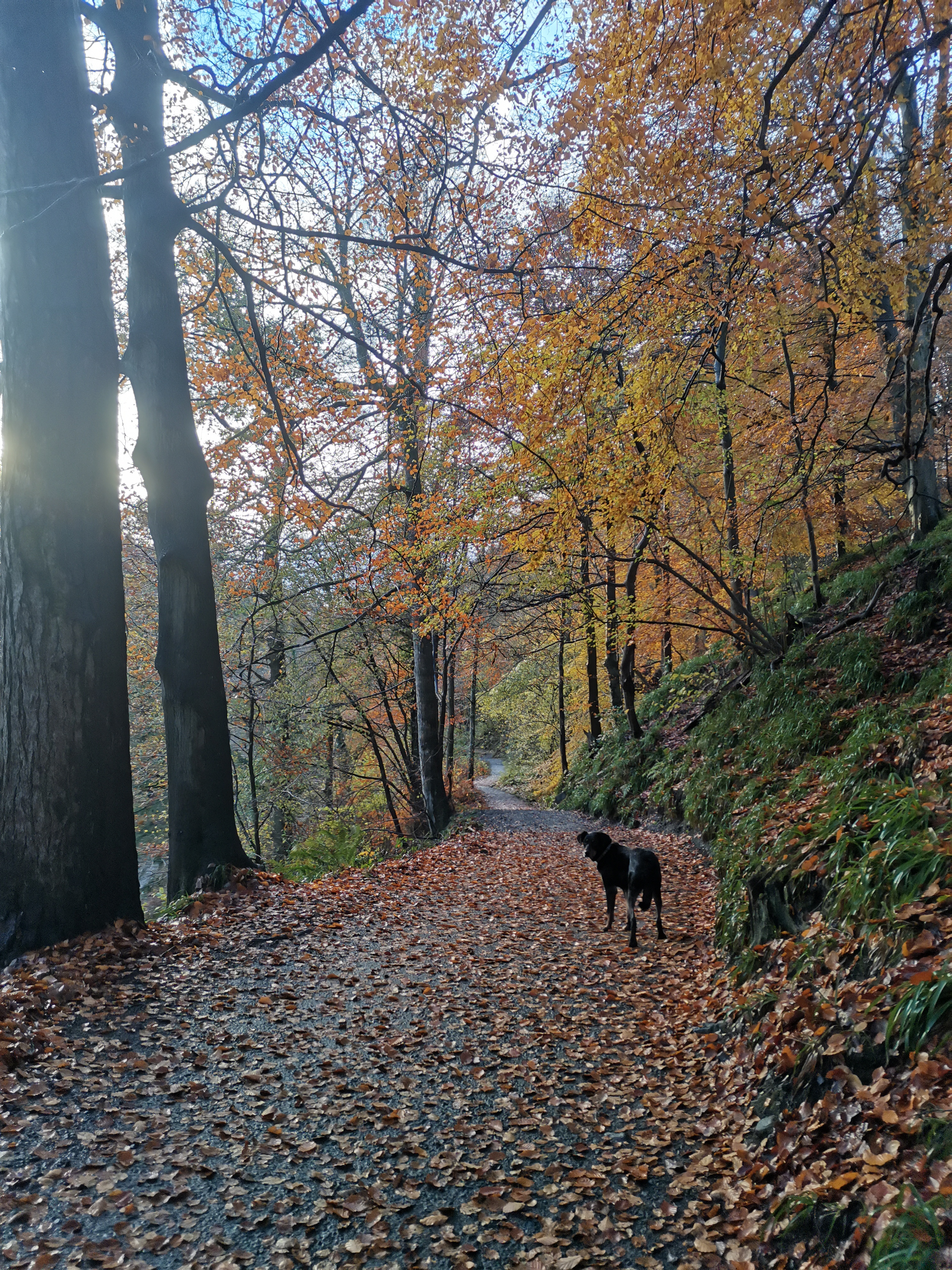
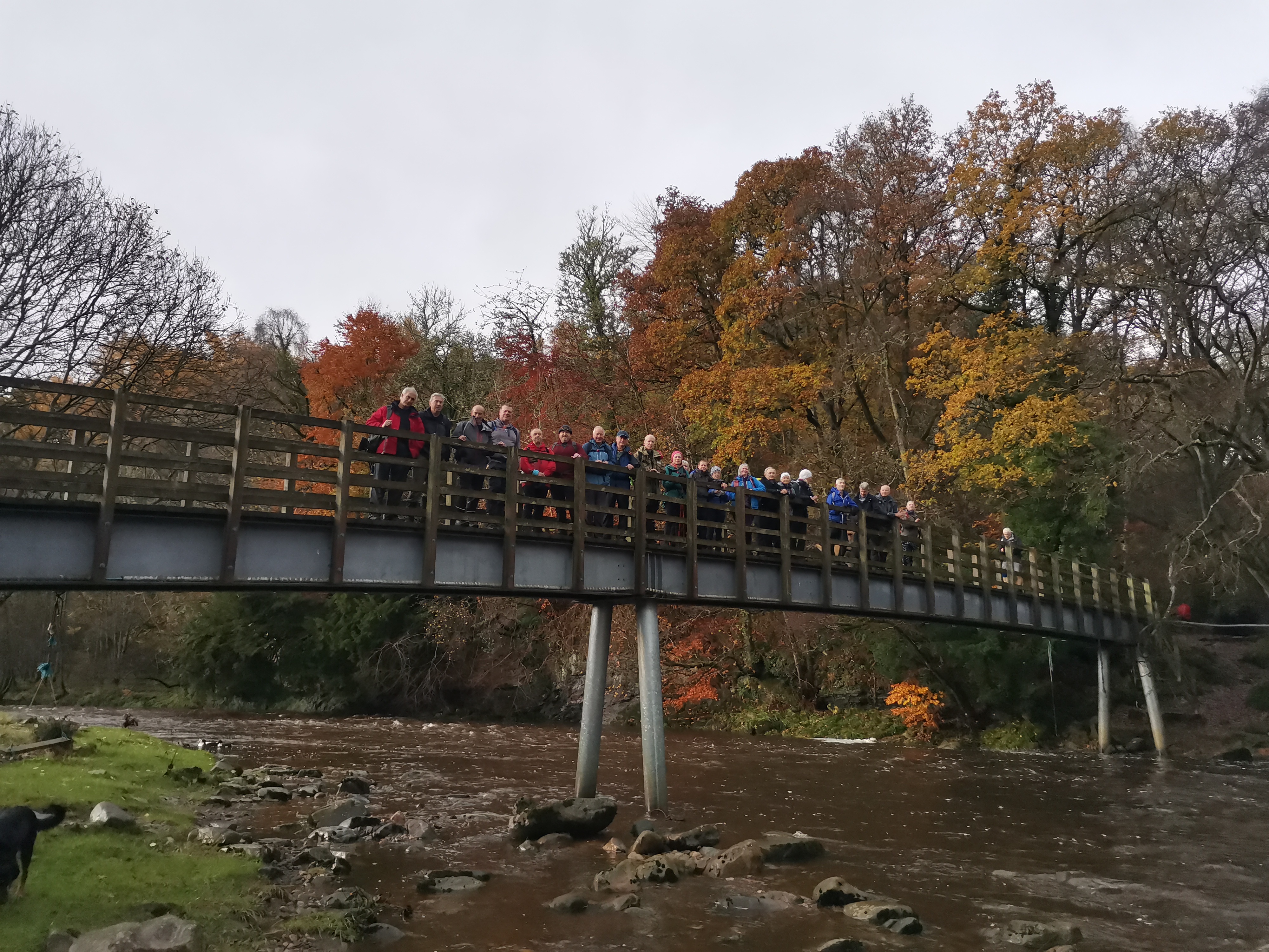
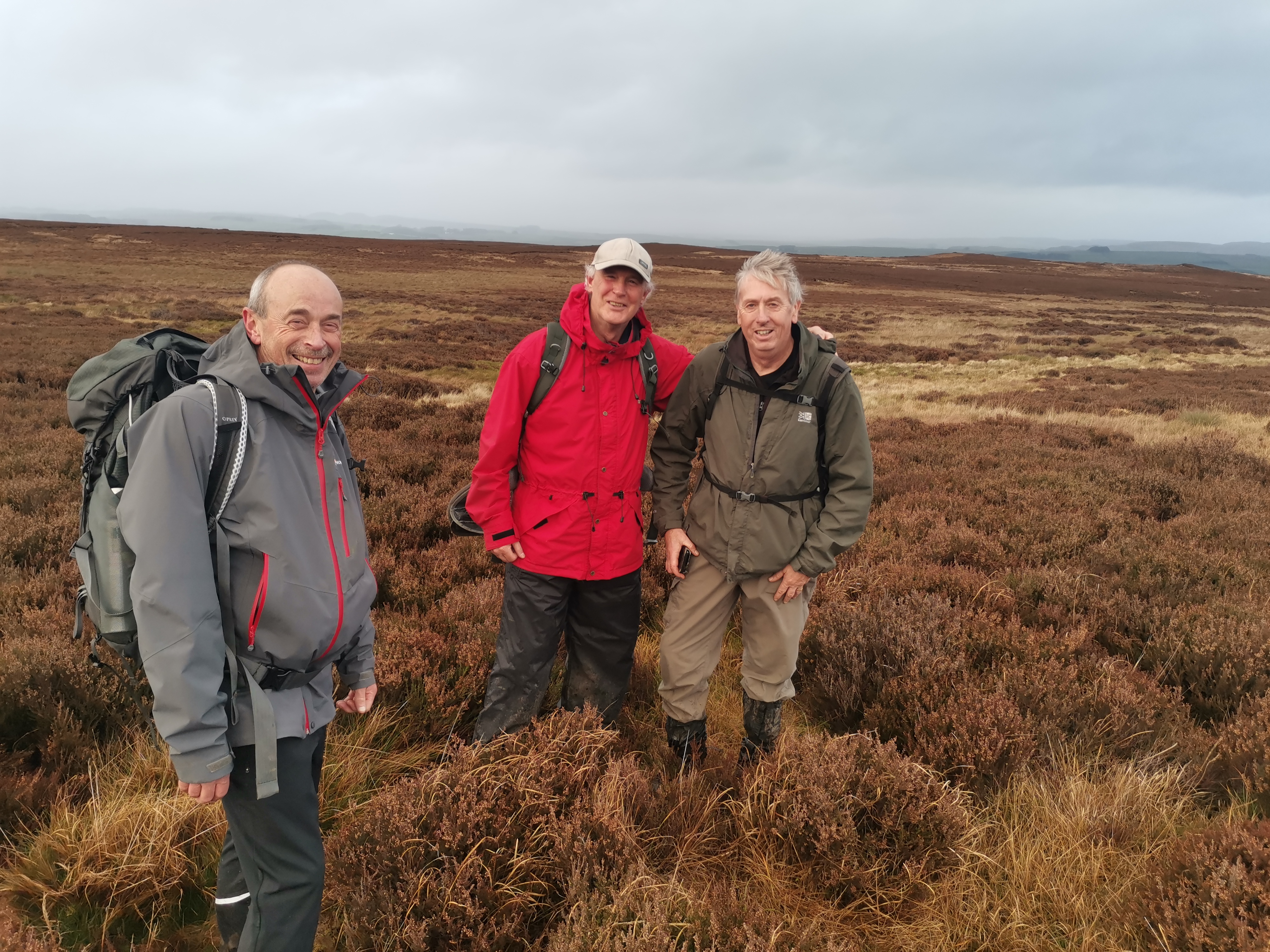
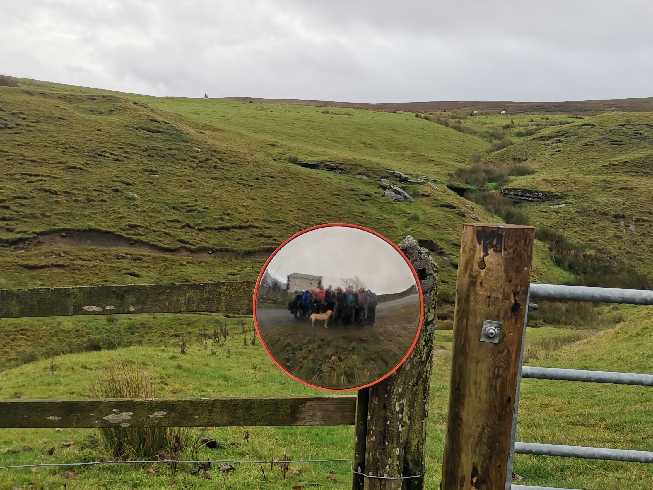
Circular route. Bardon Mill, Allen Banks, Kingswood, Wolf Hills, Cairn End, Howden Rigg, Unthank Road, Willimoteswick, Bardon Mill
Entry Details:
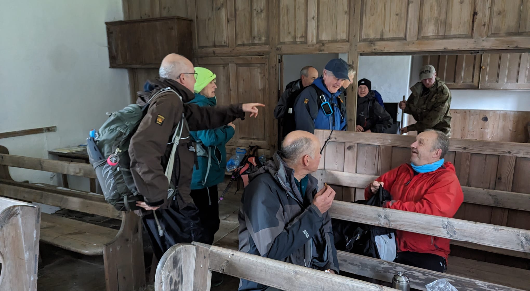
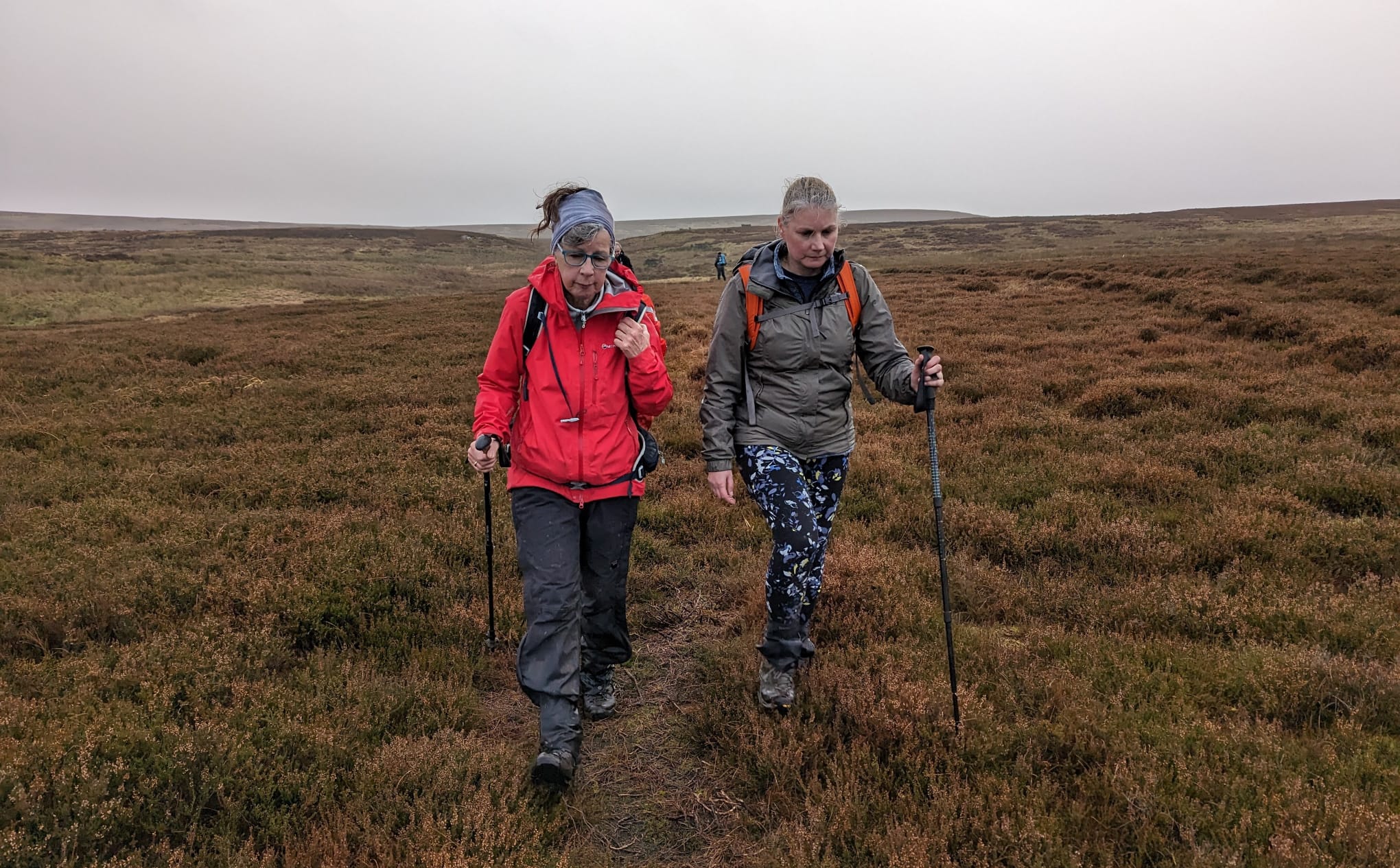
Walk Report
In the course of planning this walk I discovered that there is a war memorial cairn, named the Shepherd's Cairn on Plenmeller Common. Although the walk does not visit this Cairn, it is only a matter of 0.5km from the route at NY749611 and therefore may be worth a visit. (Paul Nellist)Other Files
GPX
A GPX file of the above route may be downloaded by clicking the link below.
Note: GPX files of Group Walks are created by LDWA Group members, and may be downloaded only by other LDWA members. They should not be made available outside the LDWA, and are used at members' own risk.
Login to Download (Members Only)You can use the interactive controls to zoom in and out and to move around the map, or click on a path or a marker for more info. (interactive map help)
You can use the interactive controls to zoom in and out and to move around the map, or click on a path or a marker for more info. (interactive map help)
© OpenStreetMap contributors under Open Database Licence
Rights of way data from selected Local Authorities
Large scale digital mapping is provided by John Thorn
At high zoom levels the route is indicative only.
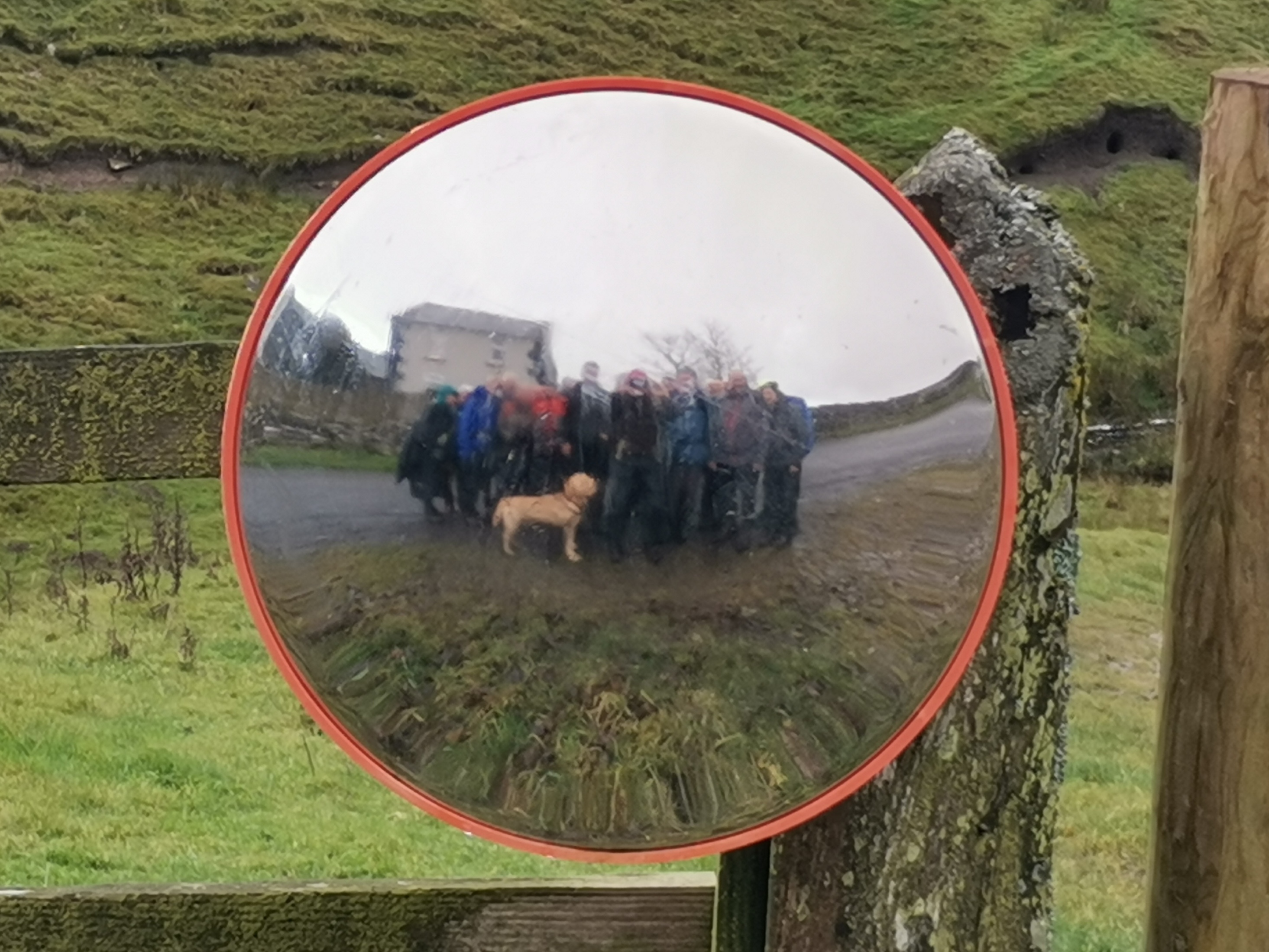
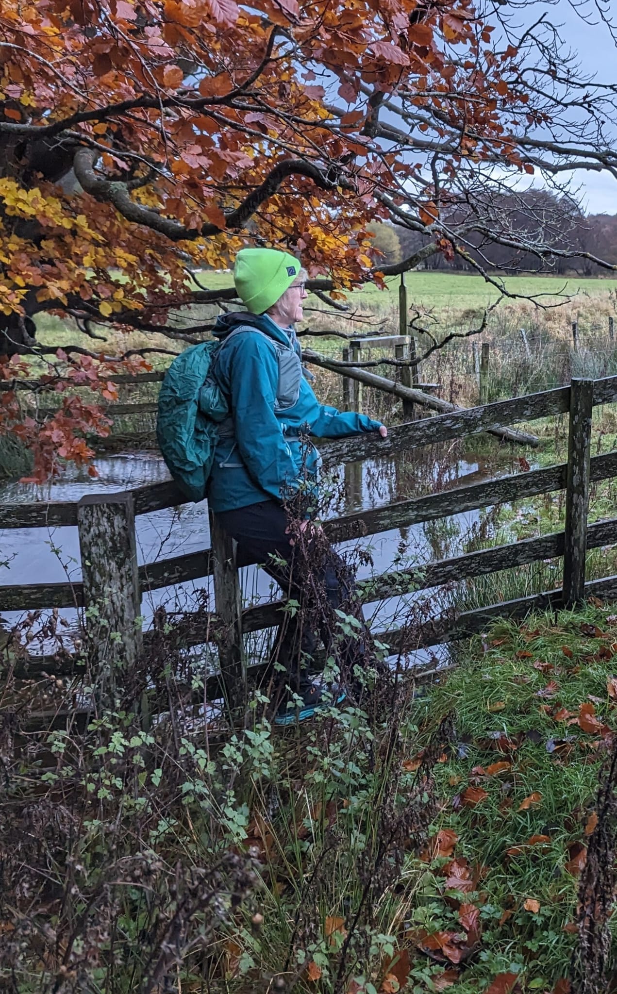
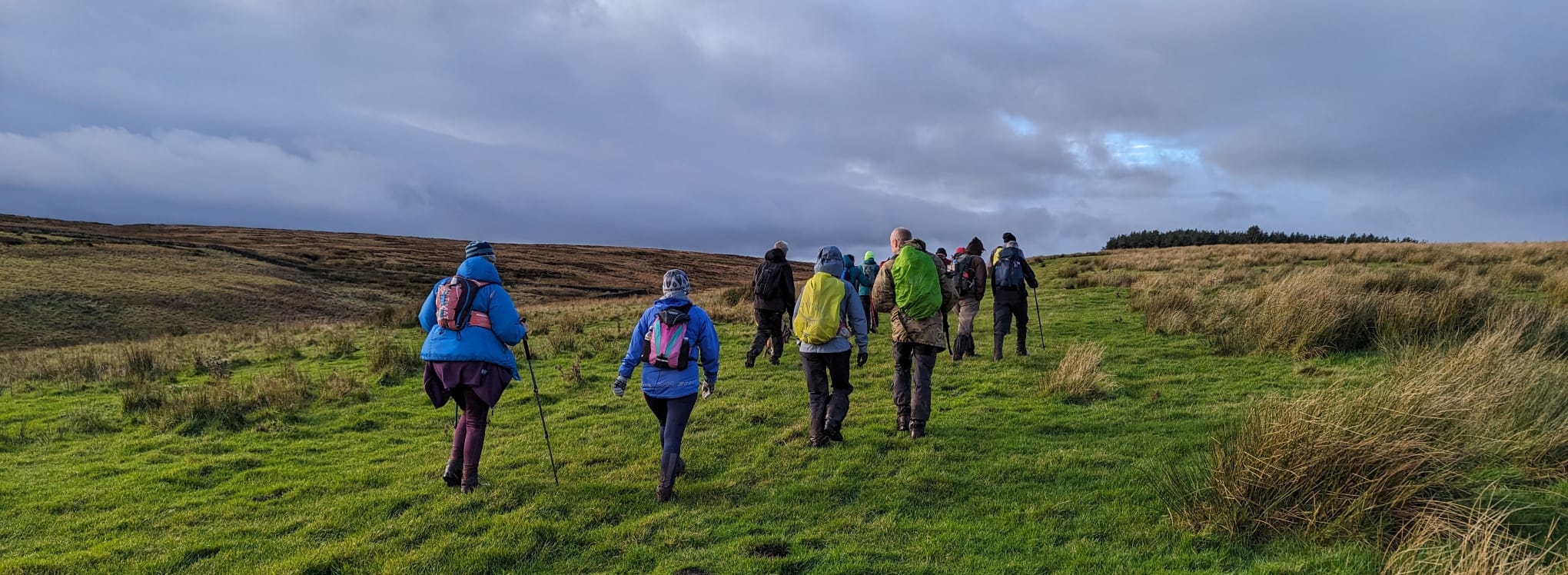
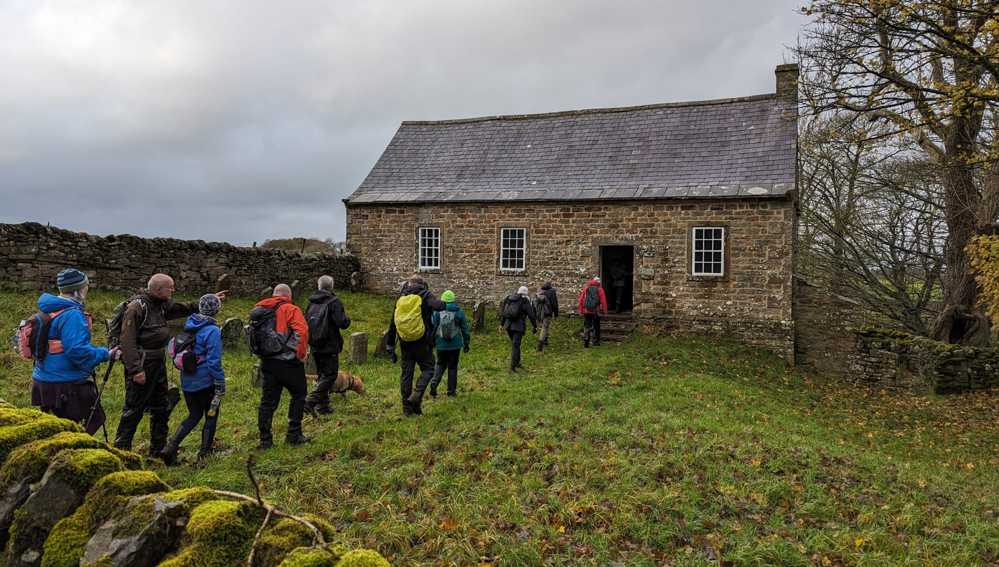
Gallery
Maps:
You can use the interactive controls to zoom in and out and to move around the map, or click on a marker for more info. (interactive map help)
© OpenStreetMap contributors under Open Database Licence.
Rights of way data from selected Local Authorities.
Large scale digital mapping is provided by John Thorn.


