
Pontop Pike & Sammy Mans Bridge Adventure
Sat 14th Oct 2023
Walk Details:
Visiting the Derwent Valley Railway Path, Pontburn Woods Waterfall, Pontop Pike Trig, Sammy Mans Bridge ,Derwentcote Steel Furnace & Vindomora Roman Fort
Entry Details:
Walk Report
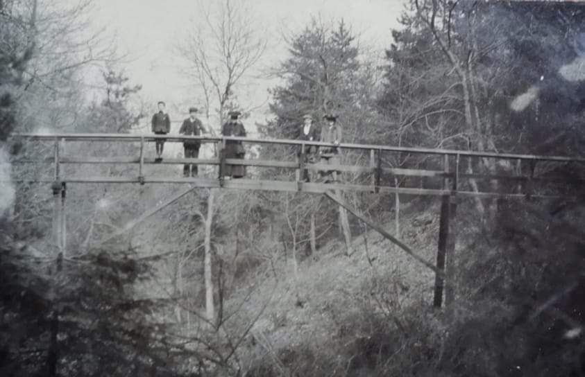
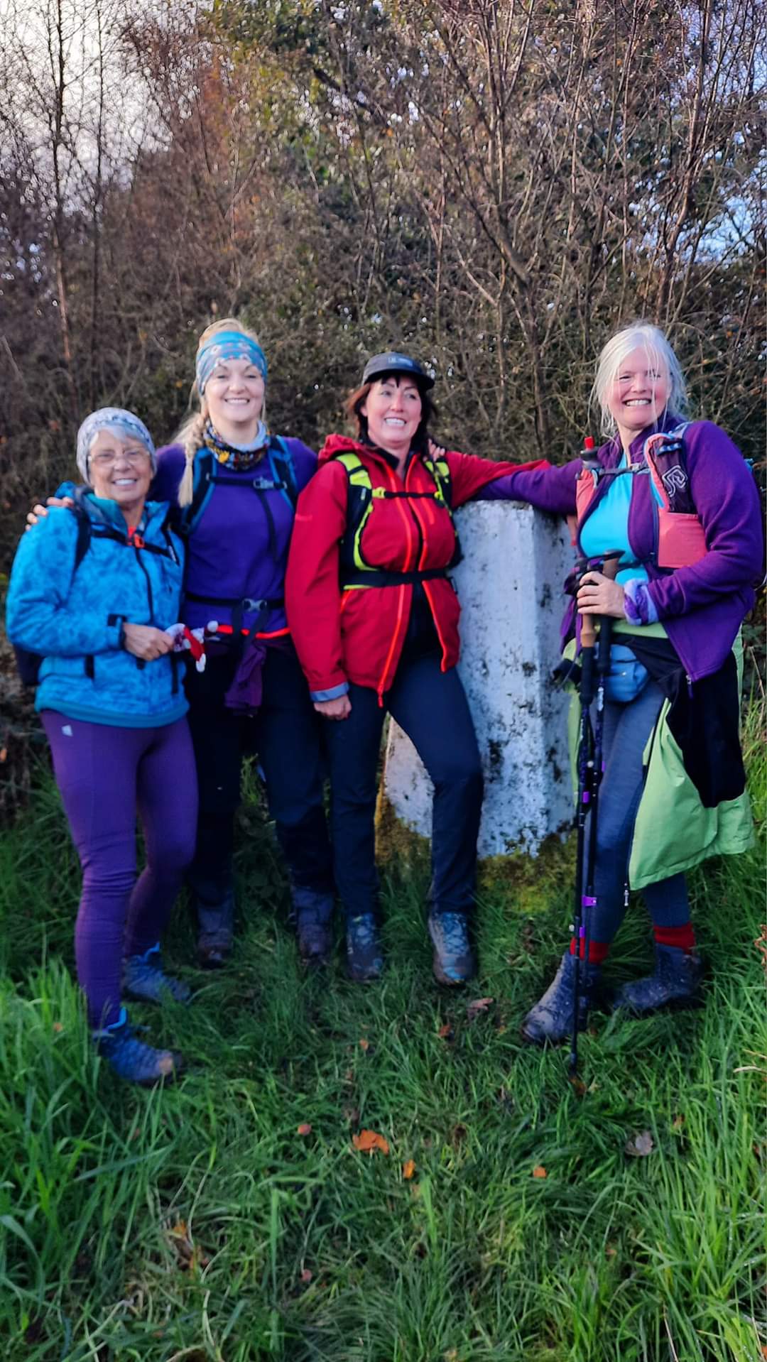
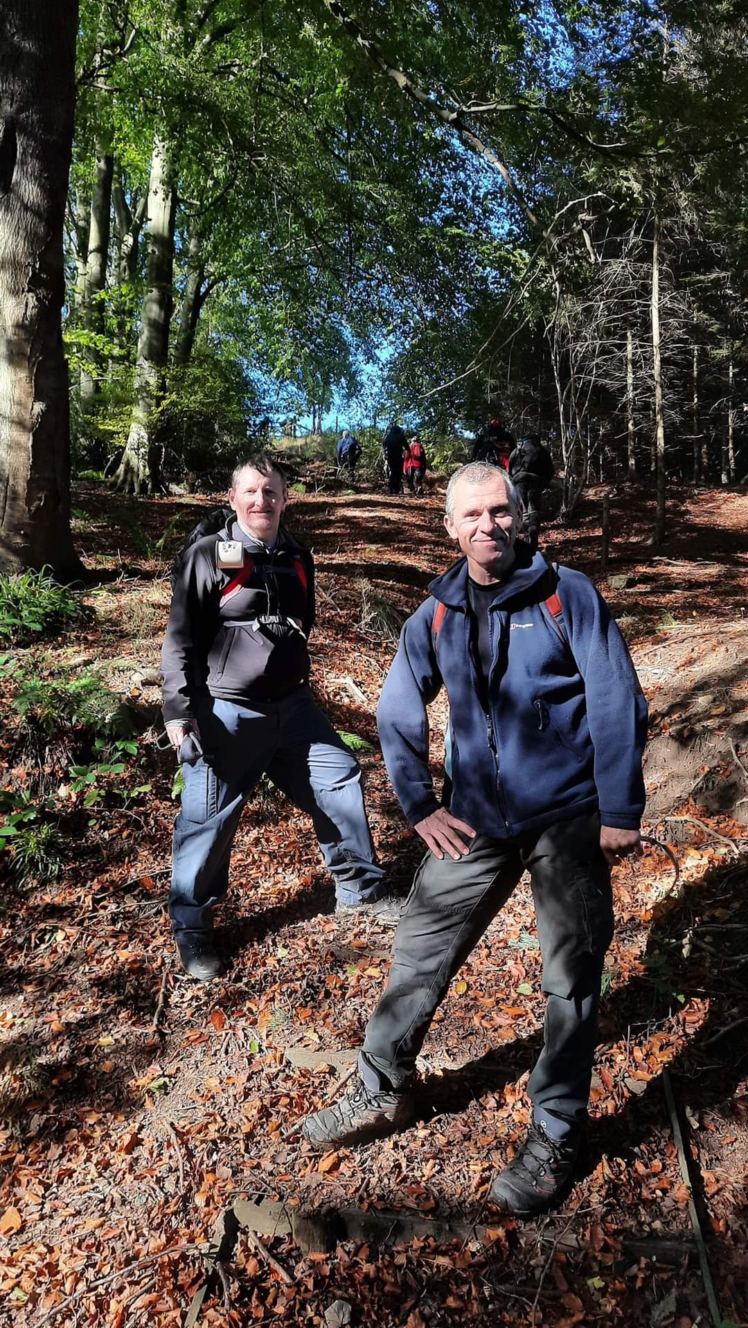
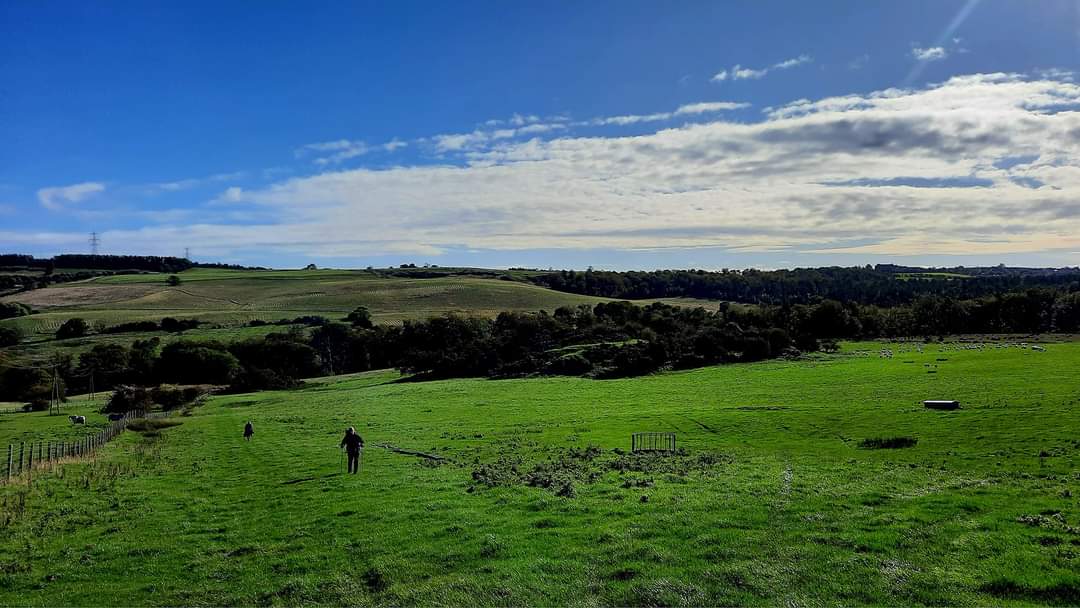
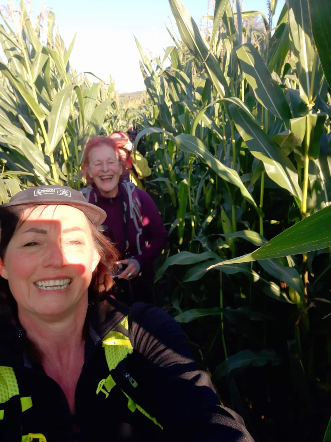
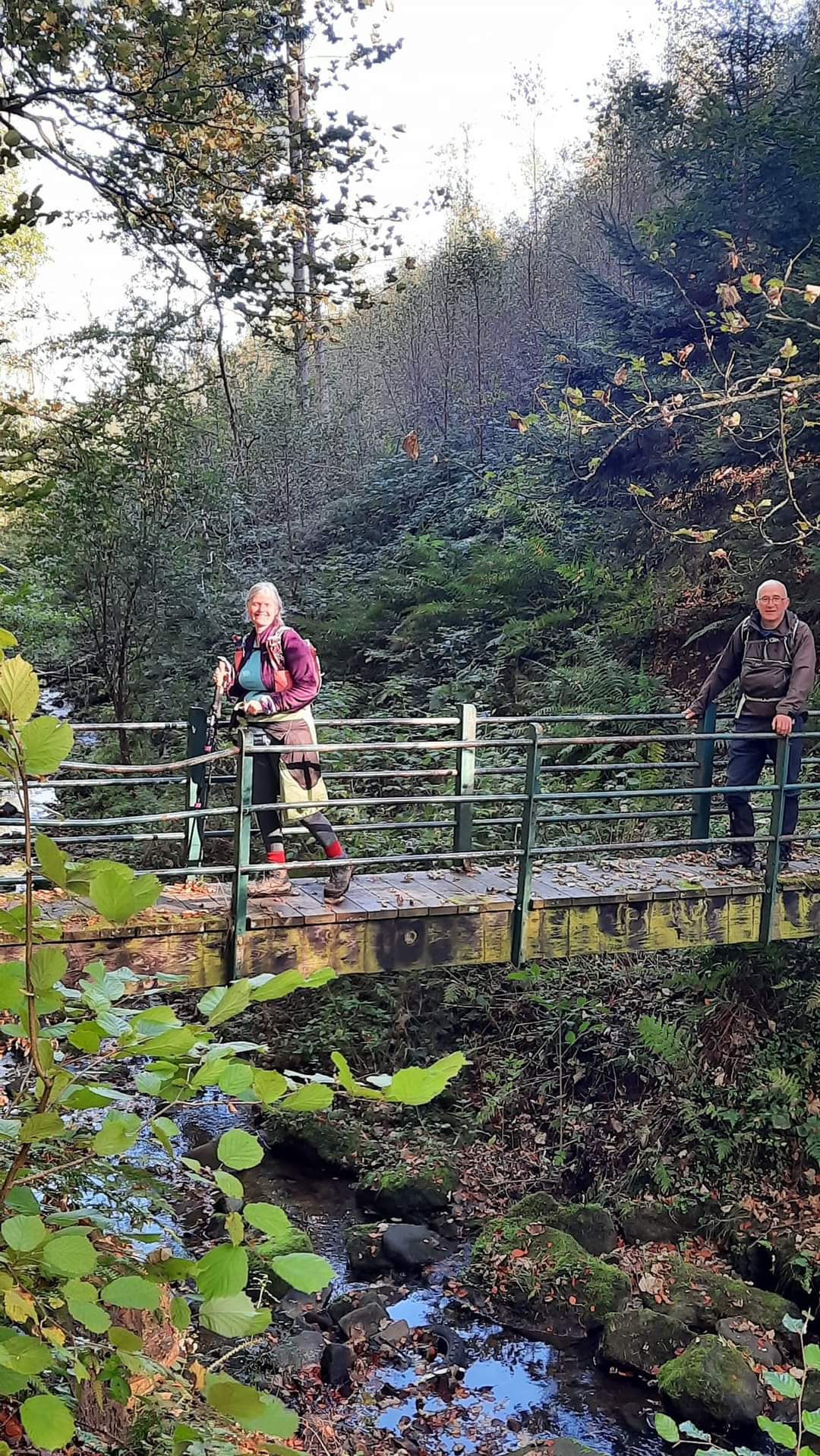
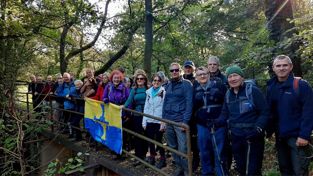
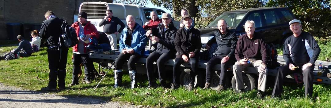
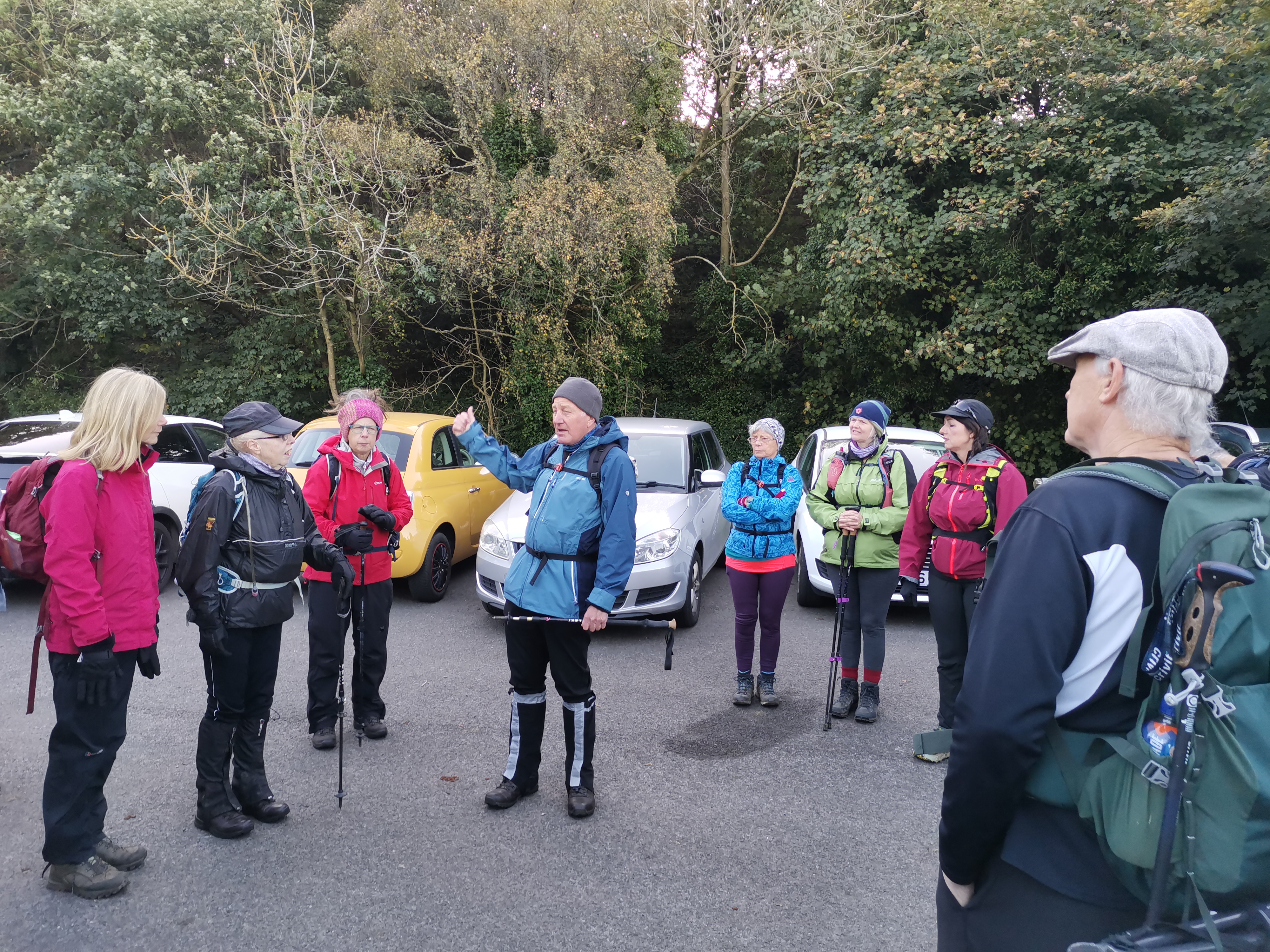
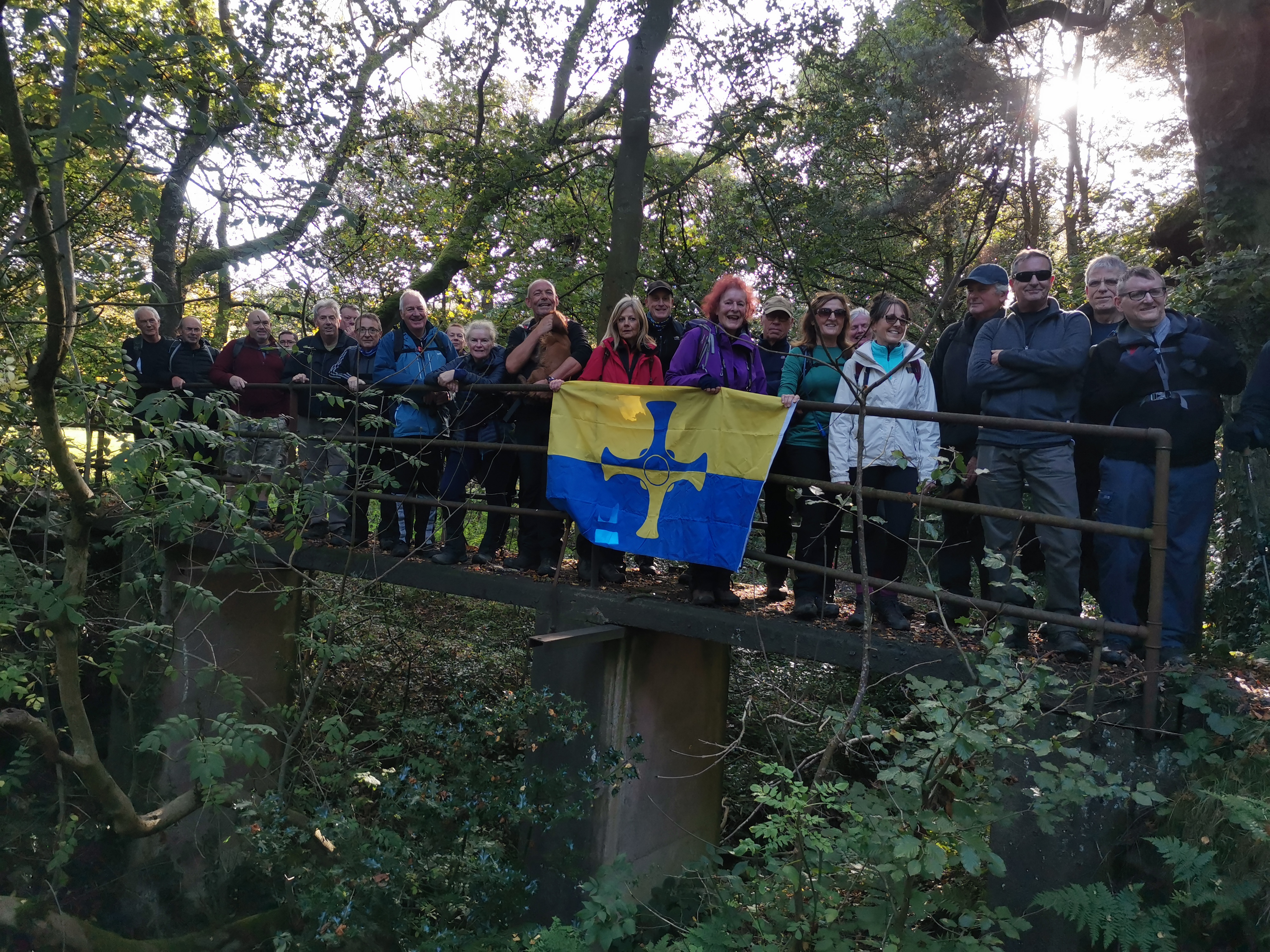
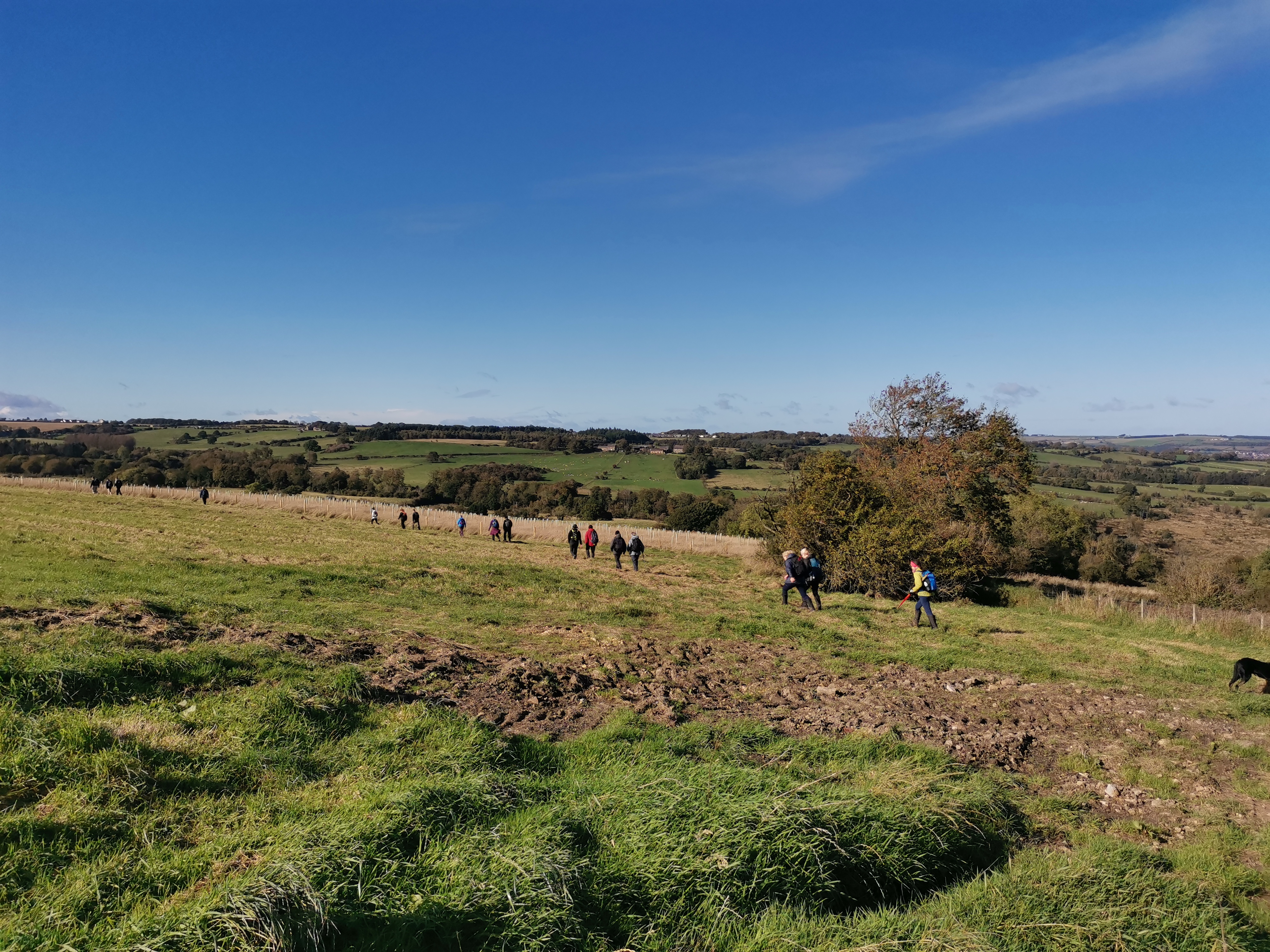
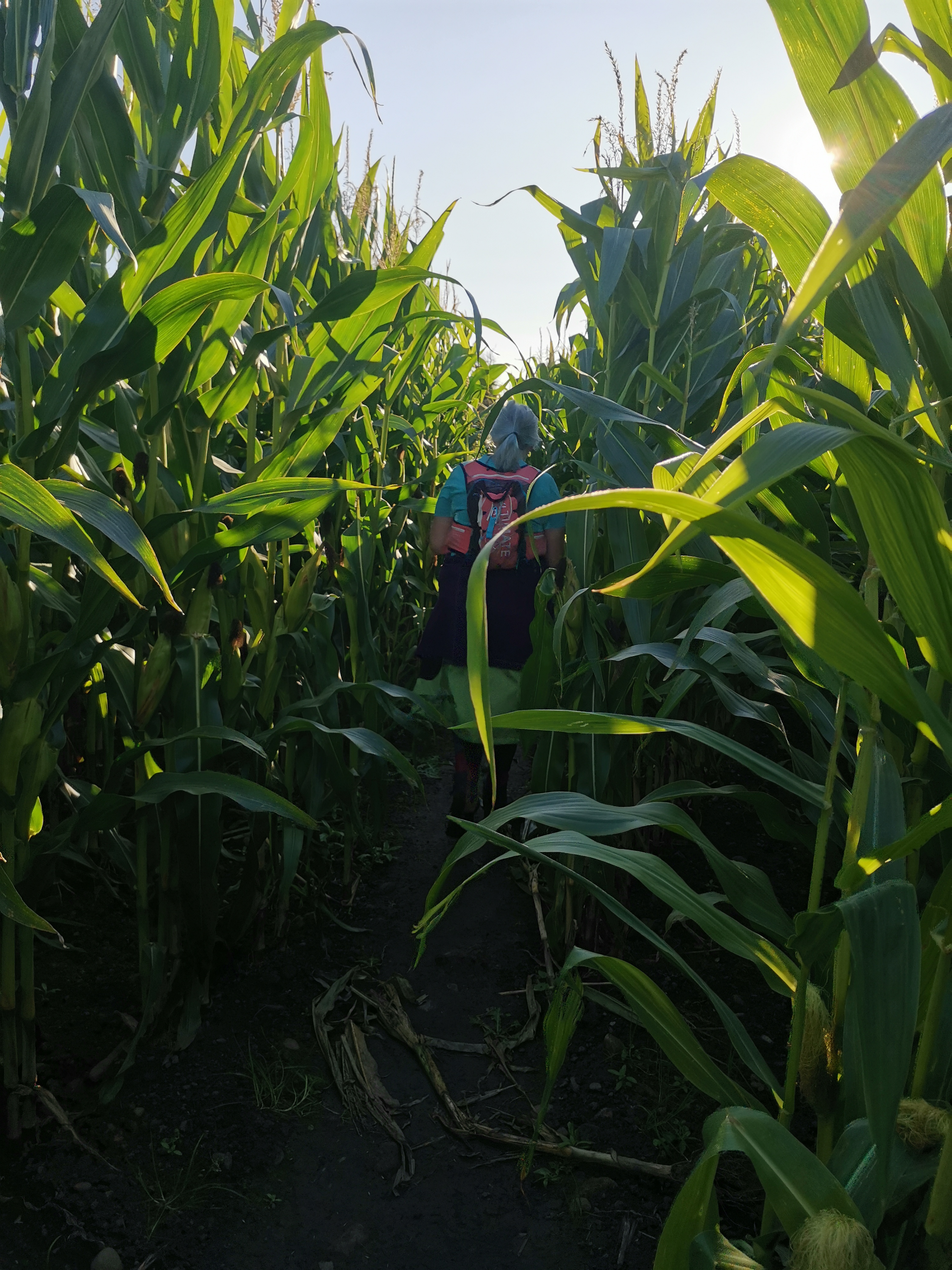
The bright sunny day of last Saturday saw 34 of us heading to Ebchester for a walk to Pontop Pike and Sammy Mann's Bridge, meeting up in a cp near the Derwent Walk Inn. The inn I found but the narrow, unmarked entrance to the cp eluded even those who knew it, and myself twice. Thus it was that I arrived just as the group was setting off!! I hollowed after them as I pulled up and shot out. It was Steve and Eric who stayed back while I flung on my rucksack and, with Steve holding my poles while I organised my satmap and camera slung round my neck, we set off. At which point another late arrival appeared - a welcome newcomer to our group who joined us as we strode off to catch up. It was this hasty departure that resulted in my switching on my satmap but failing to set the route navigation to 'start'. Hence the details of the saved route indicate 13.8 miles instead of the 17miles completed, the initial section missing! The walk was a delightful, varied mix of paths, the Derwent Valley Railway Path, woodland, including Pont Wood under the management of the Woodland Trust and Pontburn Woods, pasture with the occasional inquisitive young bullock, a tunnel of maize and, in the mix, a number of stiles - a rural walk filled with history in between and round the adjacent urban pockets and some far reaching magnificent views over Durham. In spite of the warnings of muddy paths and nettles it was relatively dry. Ebchester itself is the site of Vindomora Roman Fort, excavations having exposed a fort of two phases from AD 69-117 and AD 150 to the end of the 4th century though much of the site has been destroyed by modern development. Pontop Pike Mast soon reared up before us and was a central point around which the walk wended its way. I understand from Jim, who was leading the walk, that it was constructed in 1953 for the television coverage of Queen Elizabeth II's Coronation. There were some delays in its construction but, fortunately, it was completed just in time as many people had become proud owners of a television for the first time in anticipation. We had our first break just before the final ascent to the mast when we appeared to have lost our leader though I have a photo of him on the decorative metal seat as we approached the point where we halted. Some of the group and then Jim, who was looking for the missing group, were indeed missing! - but with a little detective work all parties were found and the group re-united. Our route on the Consett to Sunderland Railway walk, now part of the National Cycle Route took us adjacent to the 6 bay Bantling Castle Limekilns near Leadgate/Annfield Plain/Stanley depending on which article you read! They were built in 1835 for the Stanhope and Tyne Railway and fed with limestone from Weardale to supplement the output from the kilns at Consett. The location was chosen because the kilns could be built into the edge of a steep escarpment. The kilns are unique in that they are constructed of dressed stone and much work has been done to restore them funded by the Heritage Lottery Fund, CDENT (County Durham Environmental Trust) and English Heritage, though, currently they are closed to access and the front not visible from the path. Beyond, standing high on the embankment above the railway walk and overlooking the site of Consett steelworks, once the largest works in Europe, are the 6m tall sculptures named 'Ironmaster' (left) and 'Coal miner' (right). The sculptures were commissioned by Northern Arts and Sustrans in 1990 and created by David Kemp and Tom Leaper, artists based in Cornwall, in the old N.E.E.B. yard at Wallsend. They celebrate the industrial prowess of the region, being built from obsolete components that once powered the heavy industries of the local area, the cornerstones of the local economy. And so on to Sammy Man's Bridge - a site that apparently recalls many happy, even legendary, childhood memories for those living in the area. Later there was a little confusion over which of the bridges we crossed was Sammy Man's, it not necessarily being the one along which we all gathered for a photo shoot with the Durham flag!! Sammy Man's footbridge is in the bottom of the very steep gorge of the Pont Burn named after a former tenant of the now derelict West Billingside Farm. He built the original bridge on stilts c. 1885. The bridge carriers the path from what was his farm to Low Bradley Farm on the opposite side of the Pont Burn valley and it still bears his name, although of course the present one is a modern replacement. In the final leg of the walk we passed by the historic Derwentcote Steel Furnace. Built c. 1730 it played a crucial role in the British Steel industry for 150 years. It converted wrought iron imported from Sweden, British iron being unsuitable for making steel, into 'blister' steel, so called because of the distinctive pockets on its surface, which were caused by impurities in the iron reacting with the carbon from the charcoal furnace. The steel makers of the Derwent Valley were famous for their shear steel, known as 'Newcastle steel', used to make sharp, cutting blades for shears, scythes and other cutting implements. The forge and cementation furnace closed between 1875 and 1891, due to new techniques of steel production having been developed by then and the competition presented by the superior transport networks and production capacity of the Sheffield steel industry. The original route planned by Jim included an additional 2 miles returning to Ebchester via Shotley Bridge. However, given the time being gone 4pm and nights drawing in, it was decided to return by a more direct route - 17 miles in all rather than the planned 19 miles. Our final port of call was the Derwent Walk Inn, just up the road from the cp, where we enjoyed our usual after walk activity. Many thanks, Jim, for organising such an interesting walk which, sadly, is to be the last walk you lead, as you've decided it's time to hang up your 'Walk Leader' boots. Many thanks too for everyone's banter and camaraderie - lovely to meet a number of new participants/members for which a big 'Welcome'. ( Beryl Massey ) To solve the controversy of the whereabouts of Sammy Mann's Bridge. The actual bridge is at NZ133532. The bridge at which we took group photographs with the County Durham flag is at NZ148543 and is actually over the Pikewell Burn. (Paul Nellist)Other Files
GPX
A GPX file of the above route may be downloaded by clicking the link below.
Note: GPX files of Group Walks are created by LDWA Group members, and may be downloaded only by other LDWA members. They should not be made available outside the LDWA, and are used at members' own risk.
Login to Download (Members Only)You can use the interactive controls to zoom in and out and to move around the map, or click on a path or a marker for more info. (interactive map help)
You can use the interactive controls to zoom in and out and to move around the map, or click on a path or a marker for more info. (interactive map help)
© OpenStreetMap contributors under Open Database Licence
Rights of way data from selected Local Authorities
Large scale digital mapping is provided by John Thorn
At high zoom levels the route is indicative only.
Gallery
Maps:
You can use the interactive controls to zoom in and out and to move around the map, or click on a marker for more info. (interactive map help)
© OpenStreetMap contributors under Open Database Licence.
Rights of way data from selected Local Authorities.
Large scale digital mapping is provided by John Thorn.


