
Ambleside Weekend - Day 1
Sat 16th Sep 2023
Walk Details:
Ambleside, High Sweden Bridge, Low Pike, High Pike, Dove Crag, Scandale Pass, Red Screes, The Struggle, Wansfell Pike, Nanny Lane, Troutbeck, Jenkin Crag, Ambleside
Entry Details:
Walk Report
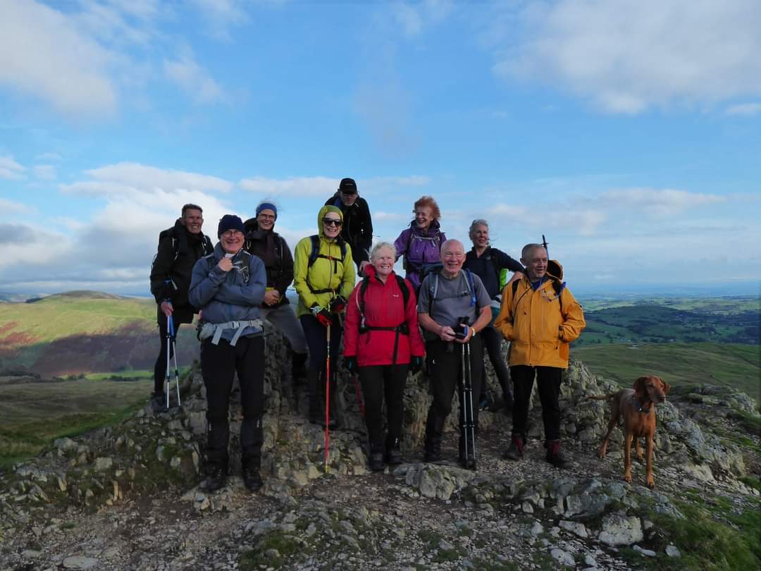
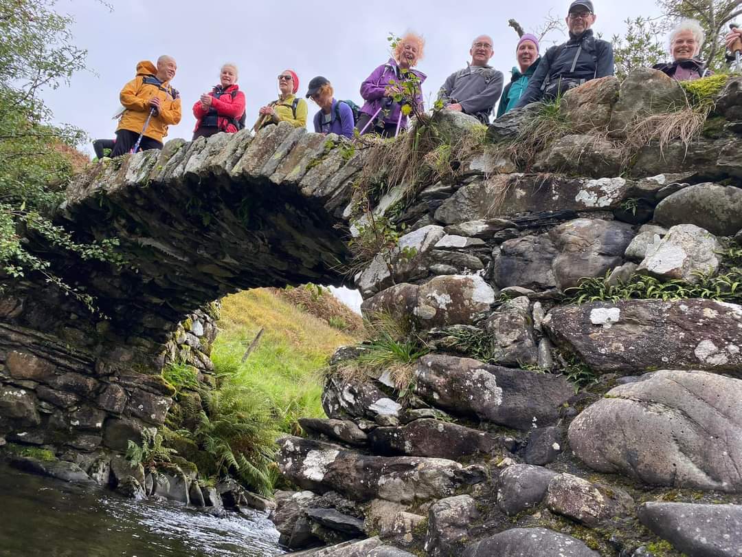
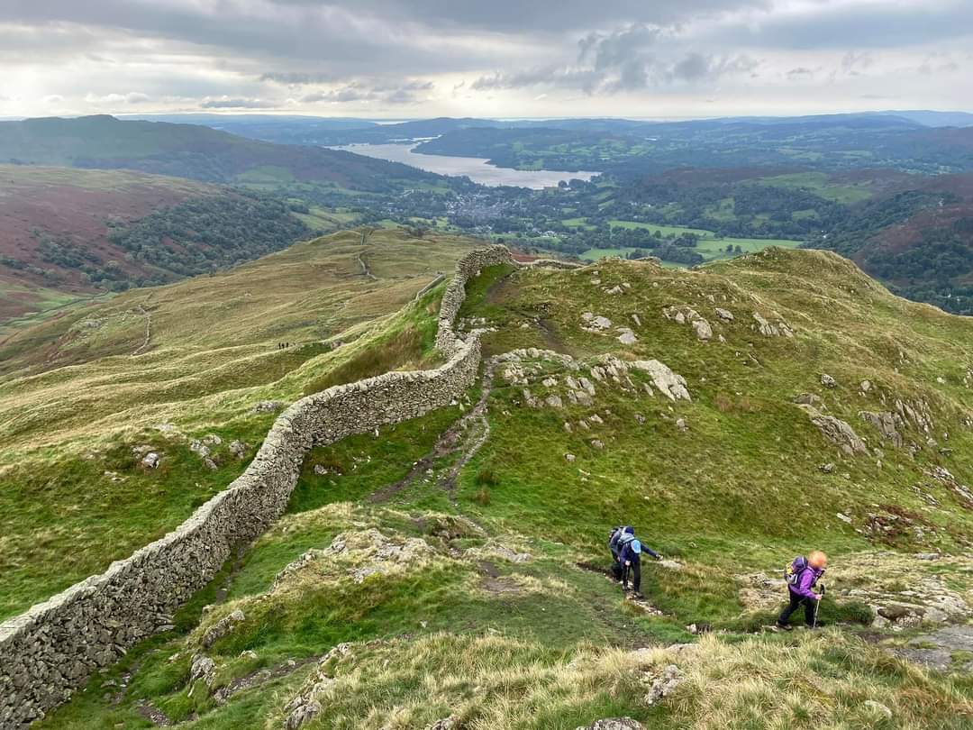
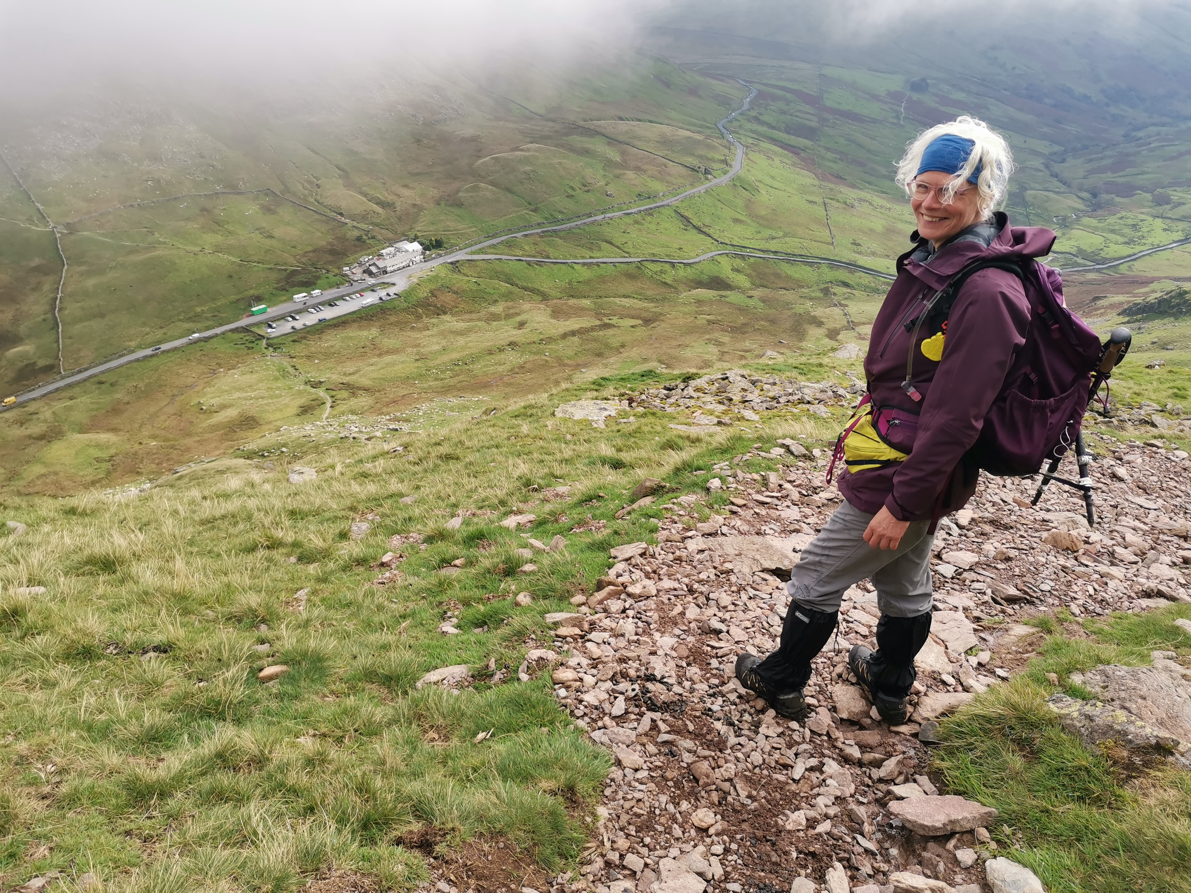
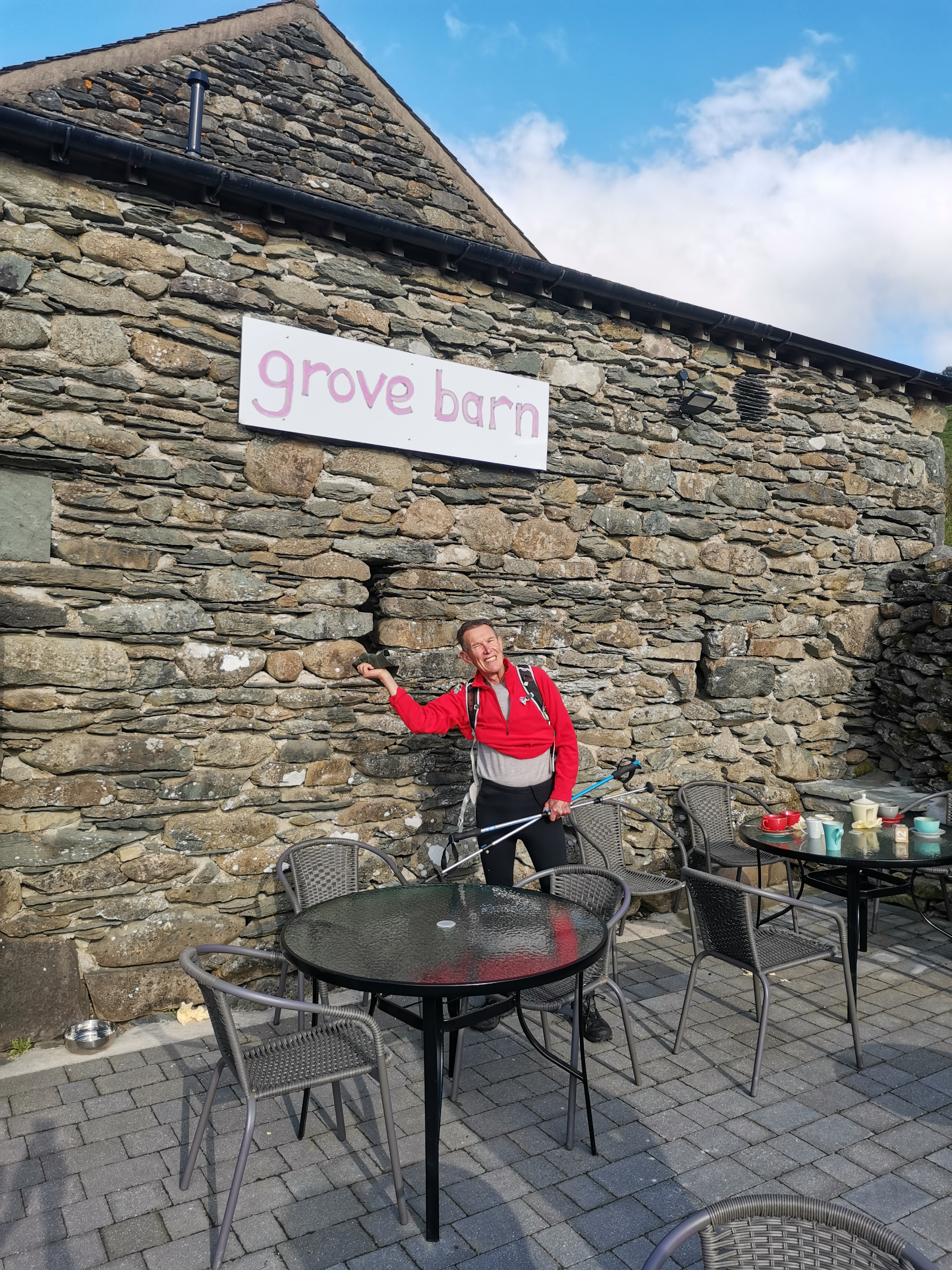
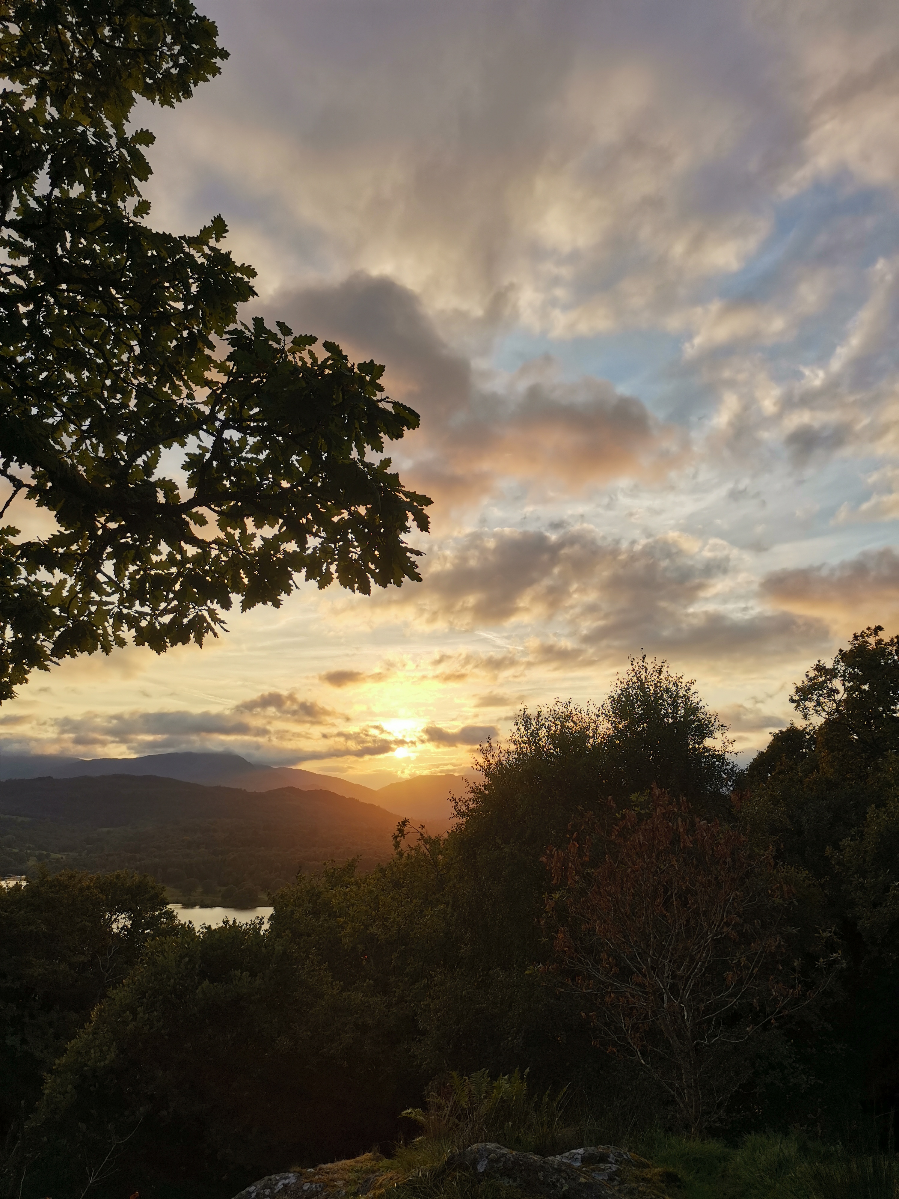
Just enjoyed a magnificent weekend (16-17 September) of walking in the Lakes around Ambleside - the majestic mountains and the breath taking scenery and views never fail to disappoint. We were ably lead by Paul Ashman on the Saturday for a 17 mile hike and by John Scott on the Sunday for a 7 mile stroll. Don't let the shorter distances belie the challenge presented, particularly by Saturday's walk. Over the two days we were led to amazing heights over five Wainwrights - just short of 5000 foot of ascent on the Saturday. Saturday's walk, with a respectable start time of 9am (so I could enjoy a good breakfast at Wanslea Guest House!), headed north taking us over the eastern arm of the Fairfield Horseshoe. I'd completed the full horseshoe round in 2019 with my son and his colleague - an amazing, challenging walk, not least the descent down Nab Scar which buggered up my knees!!! On this occasion, having made the same approach from Ambleside over High Sweden Bridge we climbed up to Low Pike (508 metres/1,667 ft), on to High Pike (656 metres/2,152 ft) and Dove Crag (792 metres/2,598 feet) before descending the eastern slopes on our right. The weather was fine but mist hovered around the 2000ft level so that the stunning views back to Windermere and across to the peaks of the western arm of the 'Horseshoe' and beyond were gradually obliterated by the grey mizzle as we approached High Pike. The cloud gave a mystical, surreal feeling but also necessitated taking compass bearings - 140 degrees - as we descended from Dove Crag eastwards to find and follow the sturdy metal posts marking the parish boundary to the head of Scandale Pass. We paused for our first break just below Little Hart Crag overlooking Scandale Tarn still in mist. Our break was extended by our meeting up with a walker who had lost his mobile. He was able to borrow one from our group to link with family who searched for its location via an app!! As we delayed our move the mist lifted revealing the glorious views to the south over Windermere and the west. We finally parted and went our separate ways, he to continue the search with his dog and ours heading down to the head of Scandale pass and the next ascent up Red Screes (774 metres/2539.37 ft). It was shortly after we had parted that we heard shouting and saw 'lost mobile man' waving his arms - he'd found it - delighted for him. The descent from Red Screes to the inn on Kirkstone pass was rocky - not dissimilar to Nab Scar in places but not as long. We paused again at its foot near the Kirkstone Inn (under significant refurbishment) before heading off along 'the Struggle' - the road over Kirkstone Pass leading down to Ambleside - then taking a left along a grassy path to our final climb of the day, Wansfell Pike. En route, just before the ascent, we passed Grove Barn Cafe which enticed us in for tea/coffee and cakes - the chocolate brownie was the best I've tasted - and a comfort break (never to be turned down). Suitably refuelled we began the long steep ascent directly up a series of stone steps to the summit of Wansfell Pike (488 metres/1,601 ft) overlooking Ambleside. The gradual descent wasn't into Ambleside as I'd anticipated, but into Troutbeck. A wall clock gave the time of 6pm. We had a further 2.5 miles along Robin Way. This was a gently undulating lane that passed through Skelgyll Wood and by Jenkin Crag, a viewing point across Windermere to Ambleside. It was c. 7.15pm when we rolled into Ambleside and directly to the Ambleside Inn for 'the usual' and a bite to eat before hitting the sack and reflecting on an amazing day. (Beryl Massey)Other Files
GPX
A GPX file of the above route may be downloaded by clicking the link below.
Note: GPX files of Group Walks are created by LDWA Group members, and may be downloaded only by other LDWA members. They should not be made available outside the LDWA, and are used at members' own risk.
Login to Download (Members Only)You can use the interactive controls to zoom in and out and to move around the map, or click on a path or a marker for more info. (interactive map help)
You can use the interactive controls to zoom in and out and to move around the map, or click on a path or a marker for more info. (interactive map help)
© OpenStreetMap contributors under Open Database Licence
Rights of way data from selected Local Authorities
Large scale digital mapping is provided by John Thorn
At high zoom levels the route is indicative only.
Gallery
Maps:
You can use the interactive controls to zoom in and out and to move around the map, or click on a marker for more info. (interactive map help)
© OpenStreetMap contributors under Open Database Licence.
Rights of way data from selected Local Authorities.
Large scale digital mapping is provided by John Thorn.


