
Argentiferous Galena
Sat 3rd Jun 2023
Walk Details:
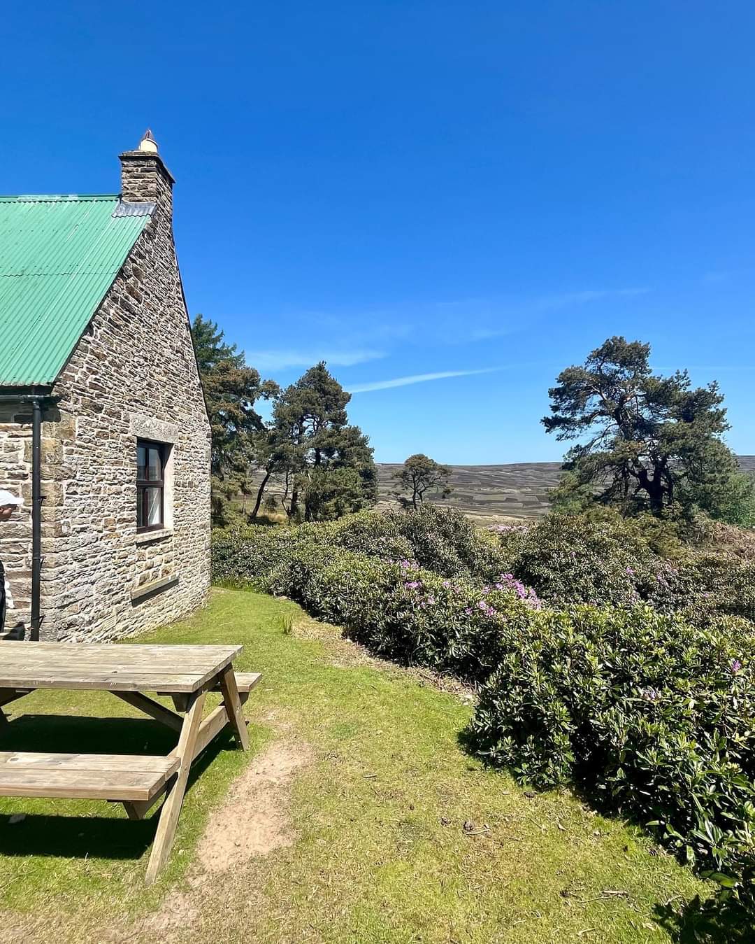
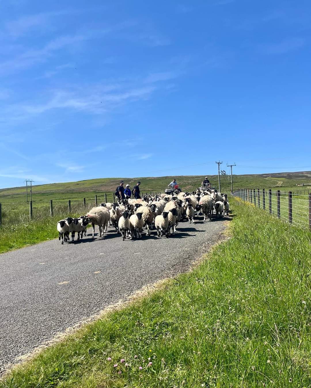
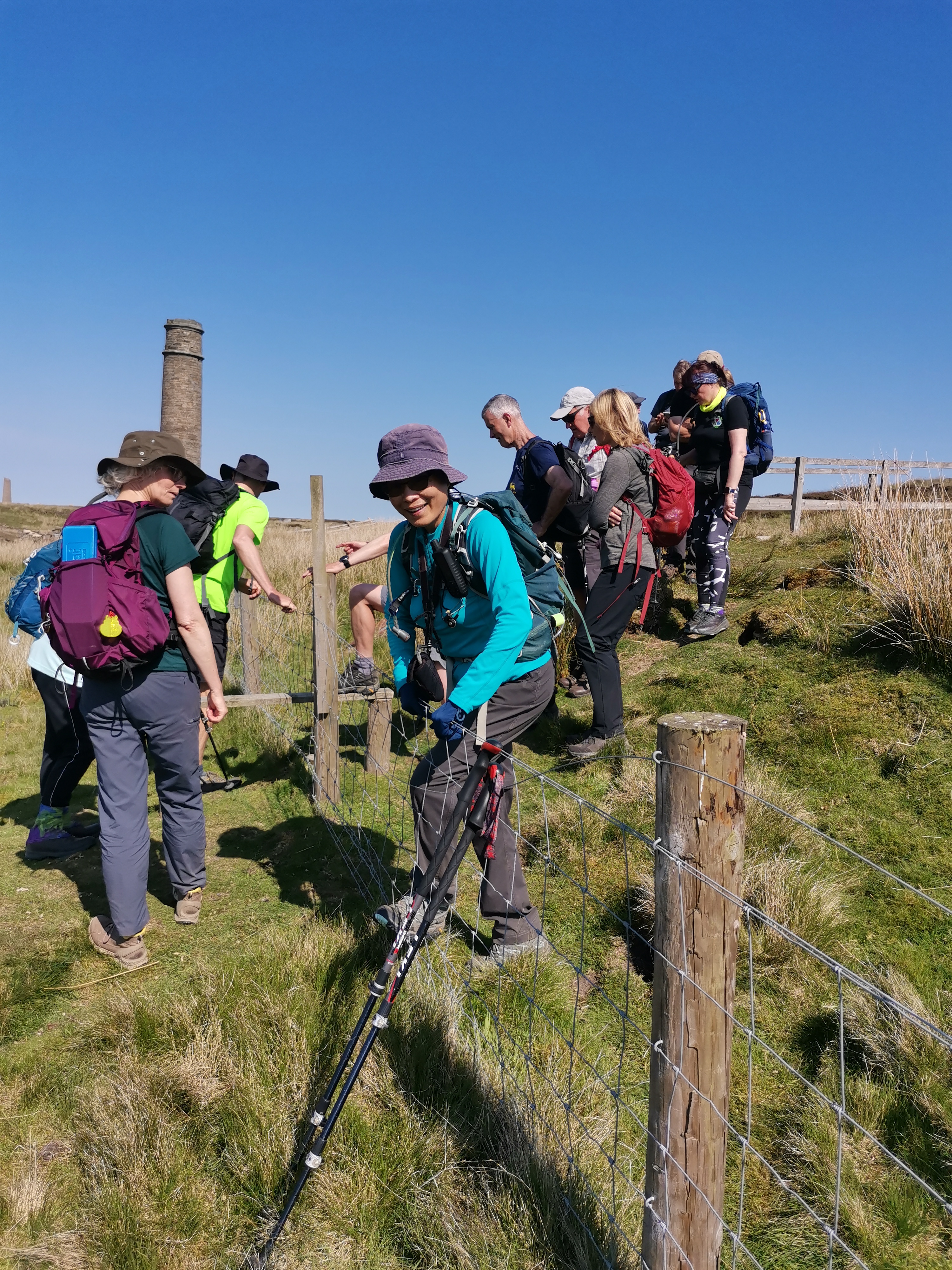
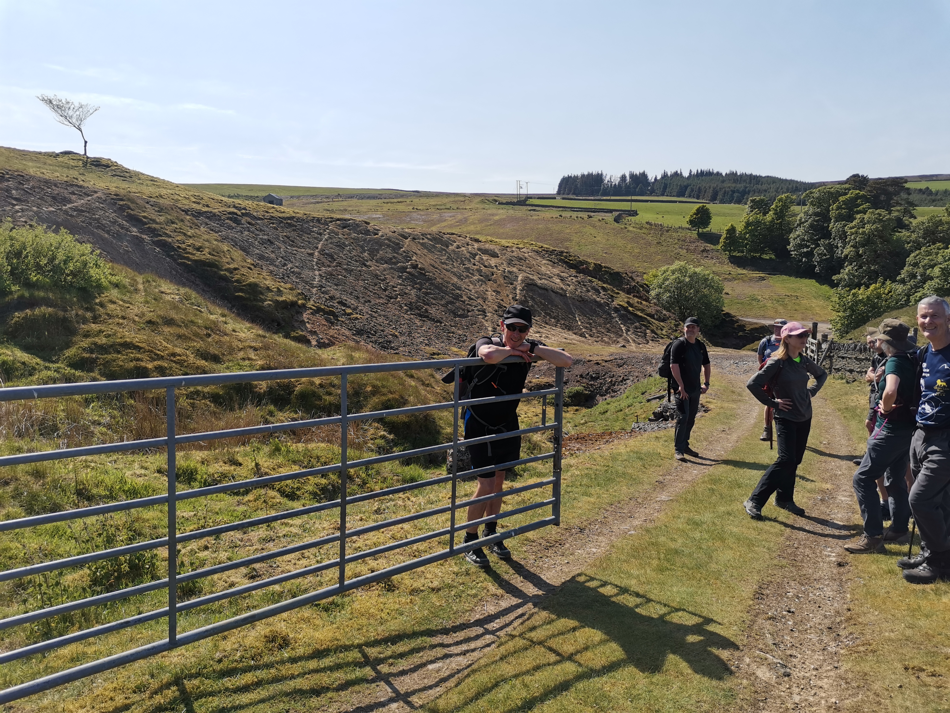
Blanchland, Buckshott Fell, Dead Friar's Bank, Stewart Shield Meadow, Stanhope Burn, Stanhope Common, Boltslaw Incline, Rookhope, Bolt's Law, Sikehead lead mines, Ramshaw, Pennine Journey back to Blanchland
Entry Details:
Walk Report
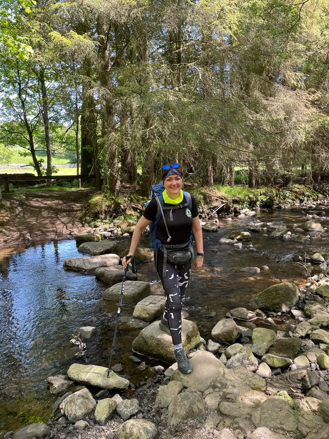
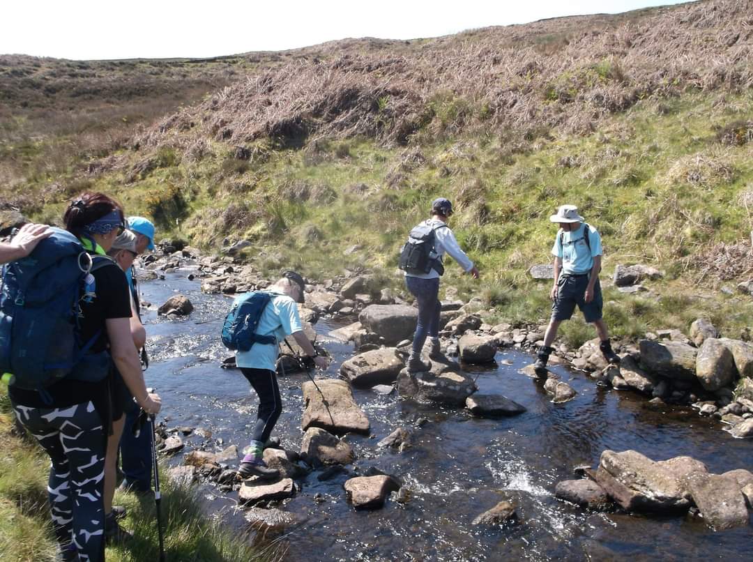
In Rookhope we crossed the Rookhope Burn via some stepping stones at NY941423. Due to recent dry weather, the burn water level was low, so consequently the crossing was easy. If the burn was in spate this may not be the case. However, there are choices of bridges nearby. ( Paul Nellist)Other Files
GPX
A GPX file of the above route may be downloaded by clicking the link below.
Note: GPX files of Group Walks are created by LDWA Group members, and may be downloaded only by other LDWA members. They should not be made available outside the LDWA, and are used at members' own risk.
Login to Download (Members Only)You can use the interactive controls to zoom in and out and to move around the map, or click on a path or a marker for more info. (interactive map help)
You can use the interactive controls to zoom in and out and to move around the map, or click on a path or a marker for more info. (interactive map help)
© OpenStreetMap contributors under Open Database Licence
Rights of way data from selected Local Authorities
Large scale digital mapping is provided by John Thorn
At high zoom levels the route is indicative only.
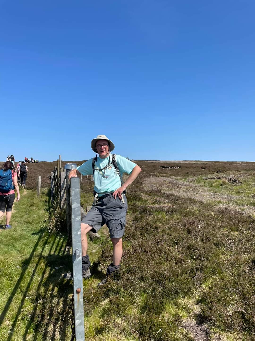
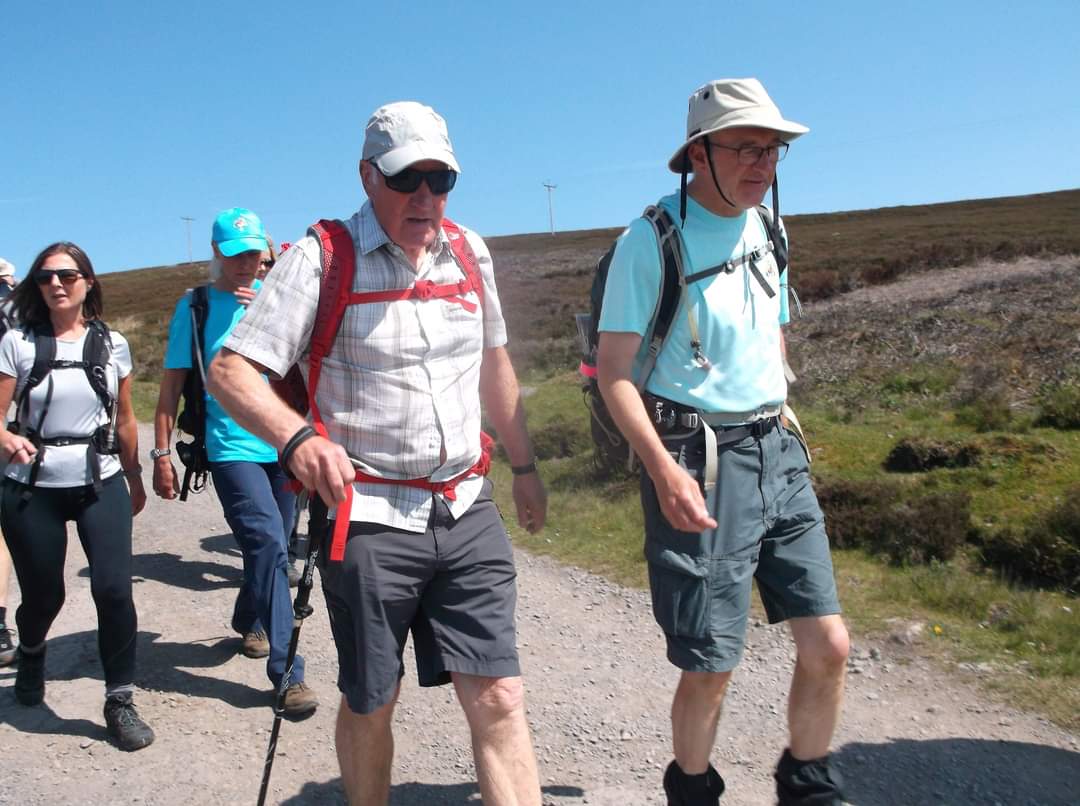
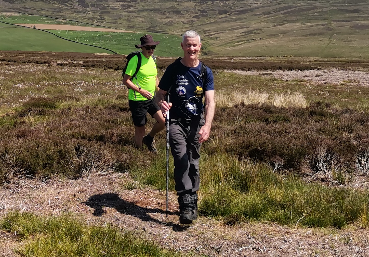
Gallery


Maps:
You can use the interactive controls to zoom in and out and to move around the map, or click on a marker for more info. (interactive map help)
© OpenStreetMap contributors under Open Database Licence.
Rights of way data from selected Local Authorities.
Large scale digital mapping is provided by John Thorn.


